Route: Fotherby
Area: Lincolnshire Wolds
Date of walk: 26th November 2020
Walkers: Andrew and Gilly
Distance: 6.0 miles
Ascent: 500 feet
Weather: Weak sun
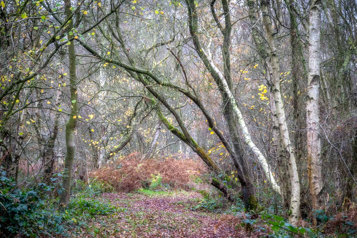
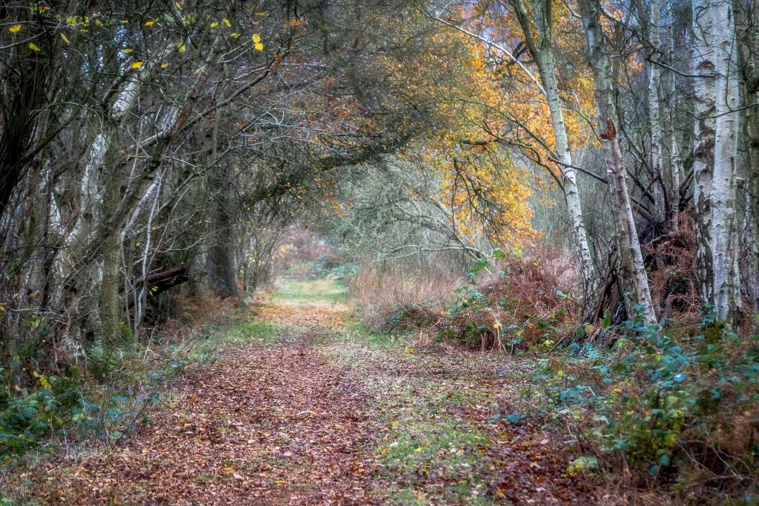
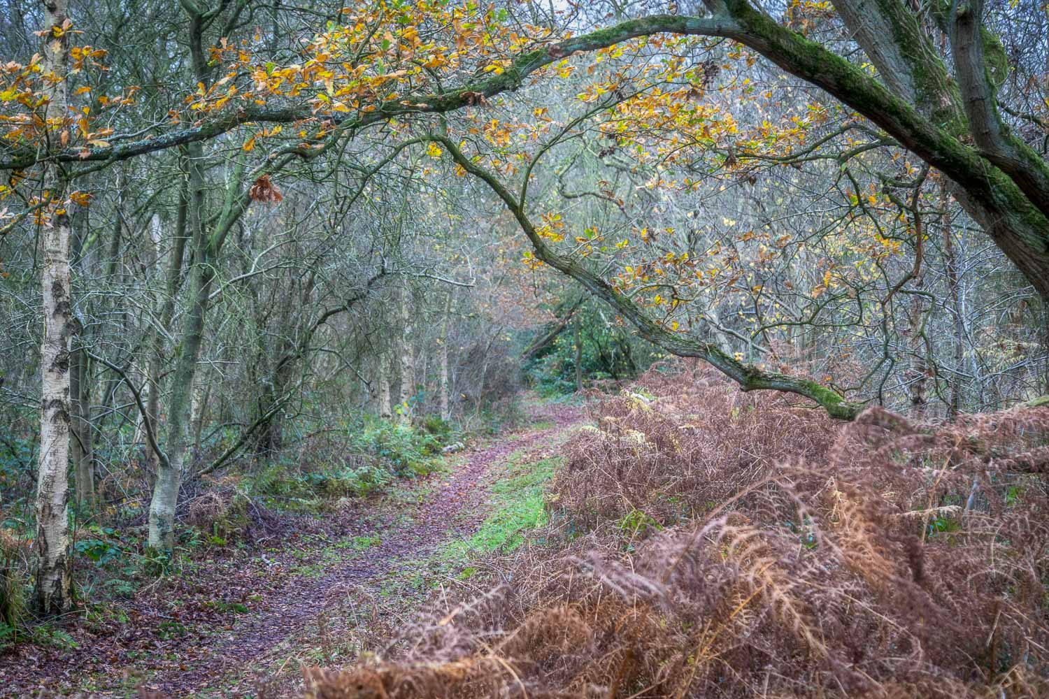
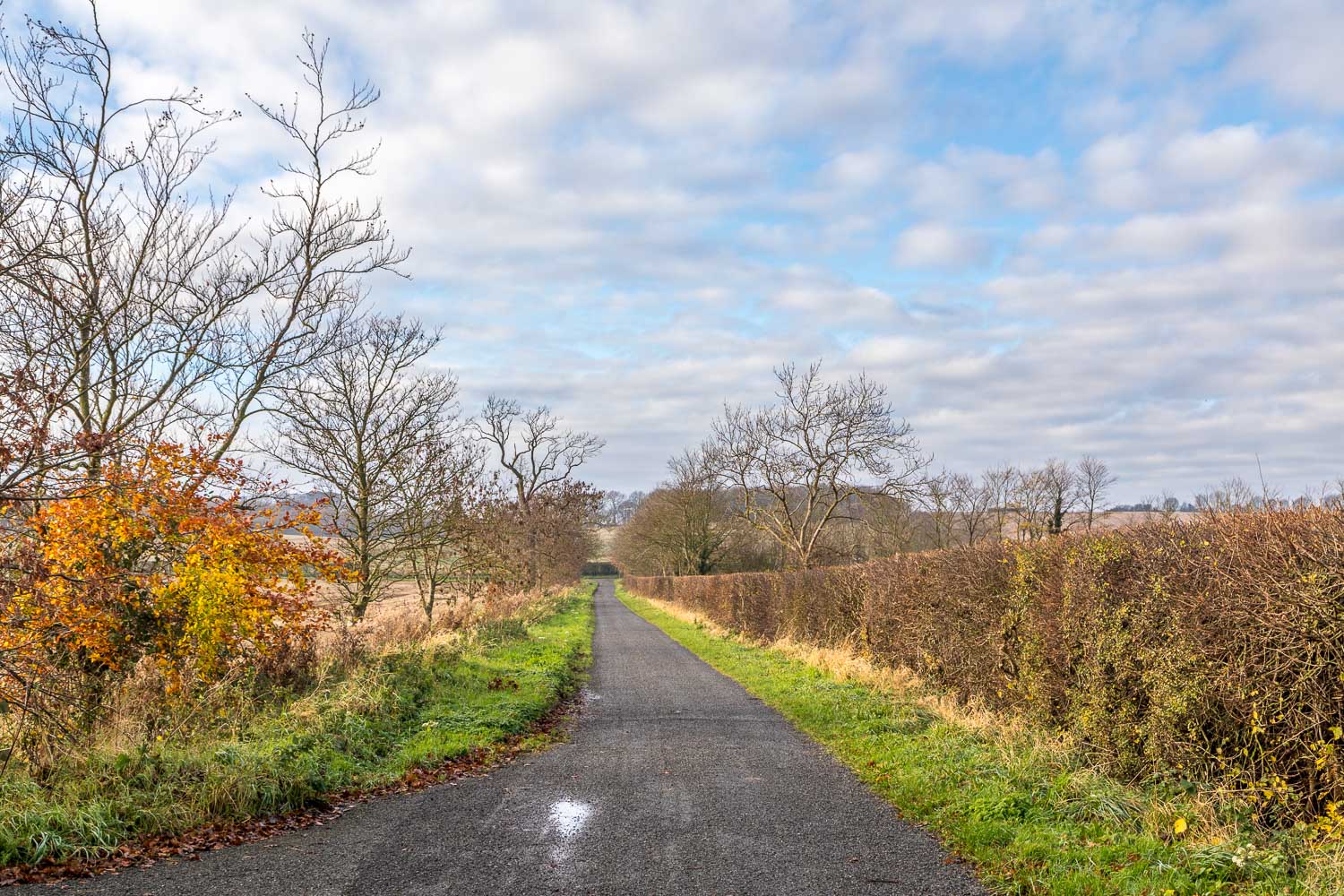
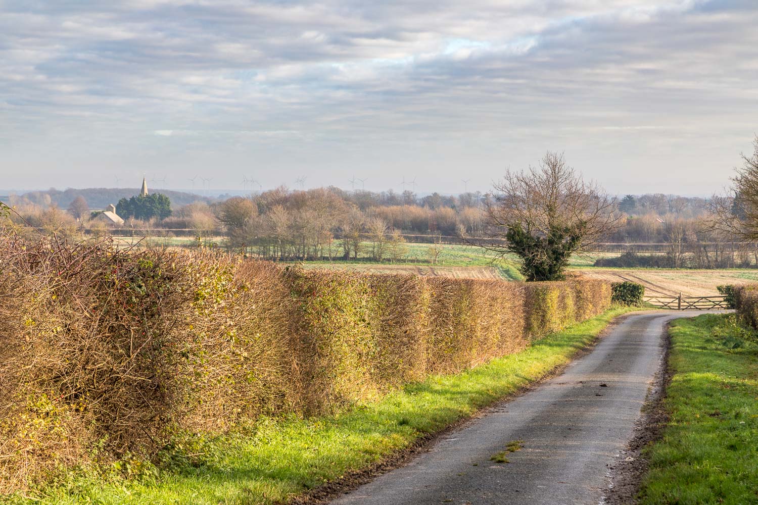
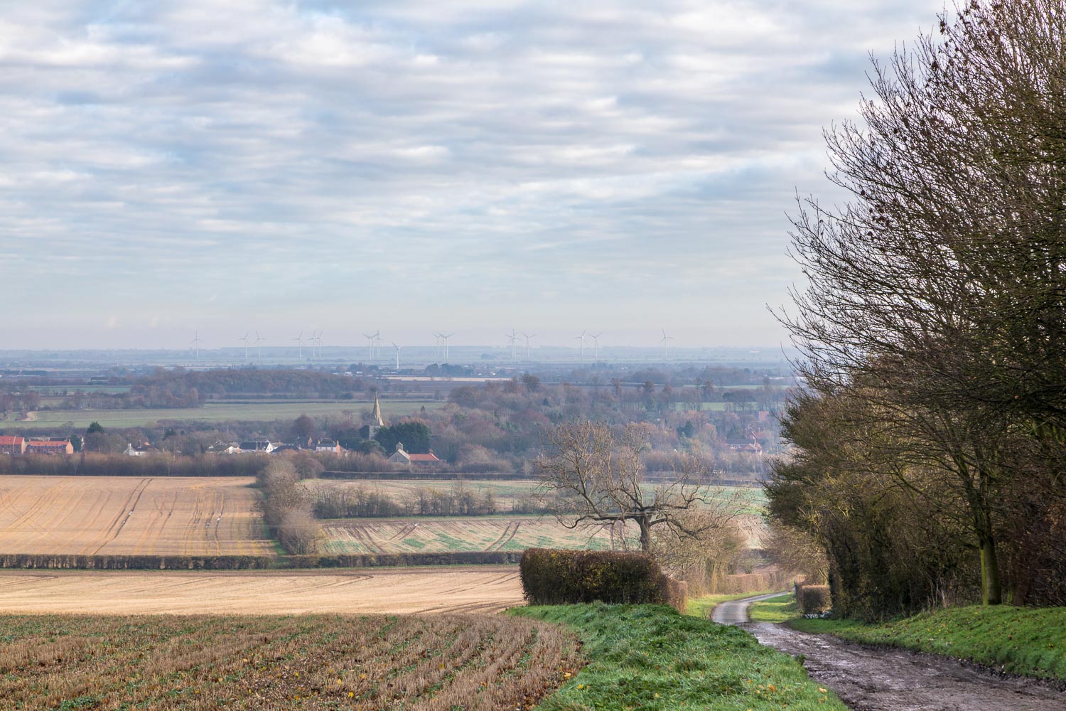
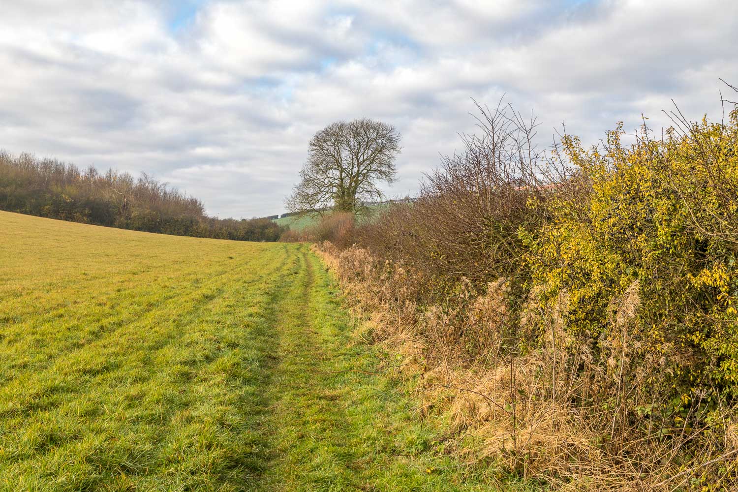
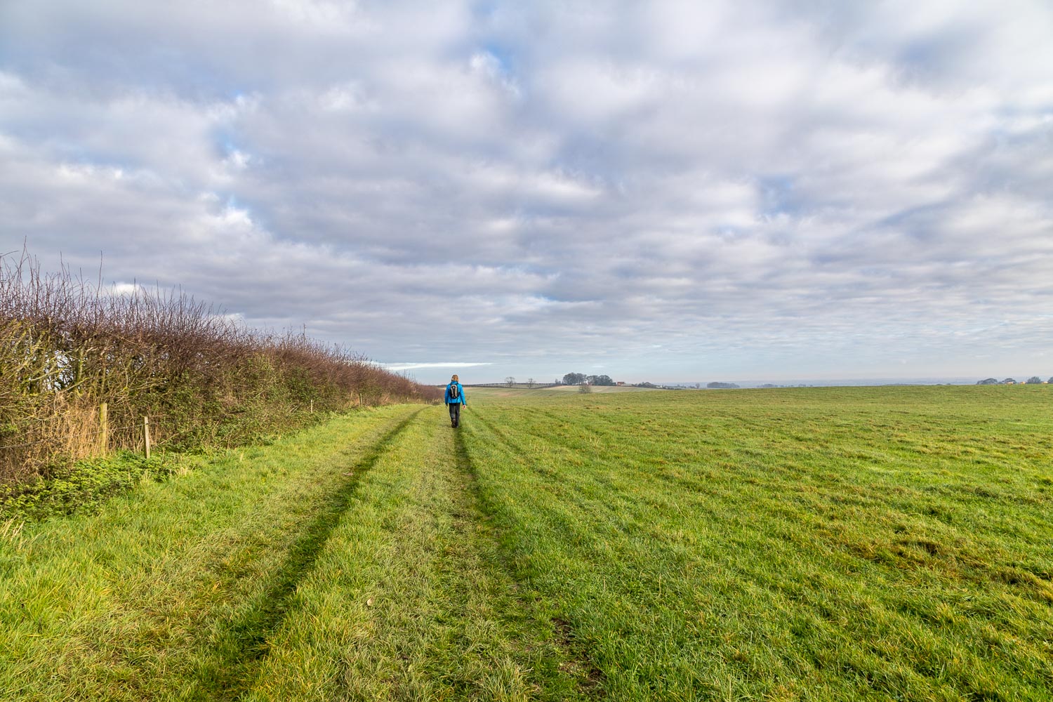
We started today’s walk in the small village of Fotherby, which lies a couple of miles north of Louth, the subject of our last visit to the Lincolnshire Wolds. We parked on the village street near an information board which sets out the points of interest in the area. We walked south along the street and after 200 yards or so turned right along Short Street. We then carefully crossed the busy A16 bypass. It was good to get the roar of the traffic behind us as we headed gently uphill, following a quiet lane and track past Fotherby Common
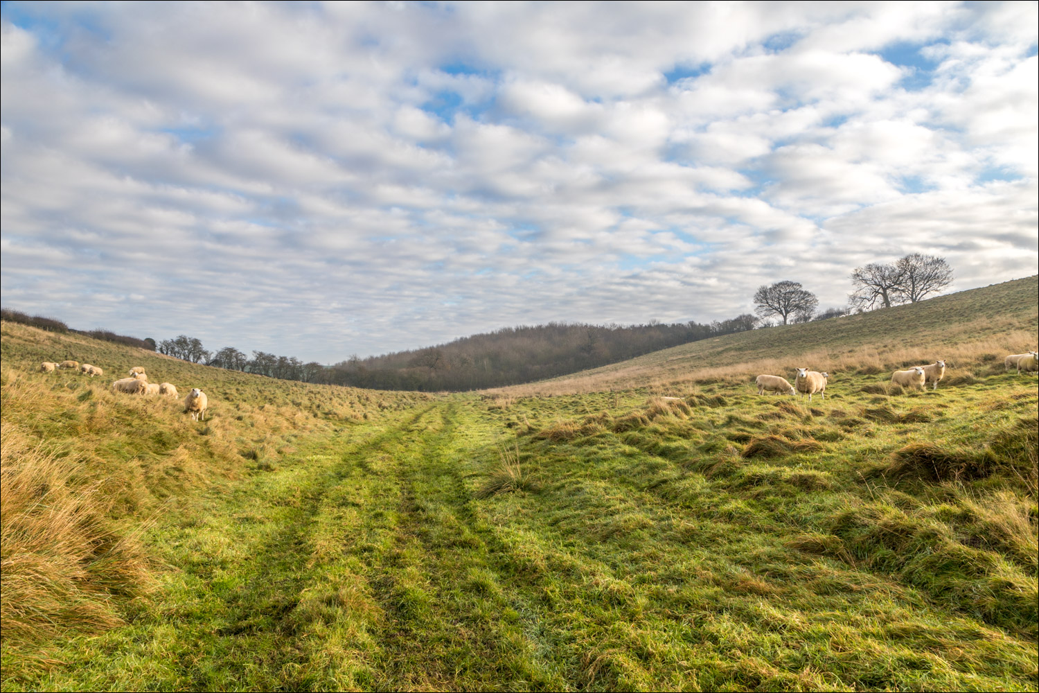
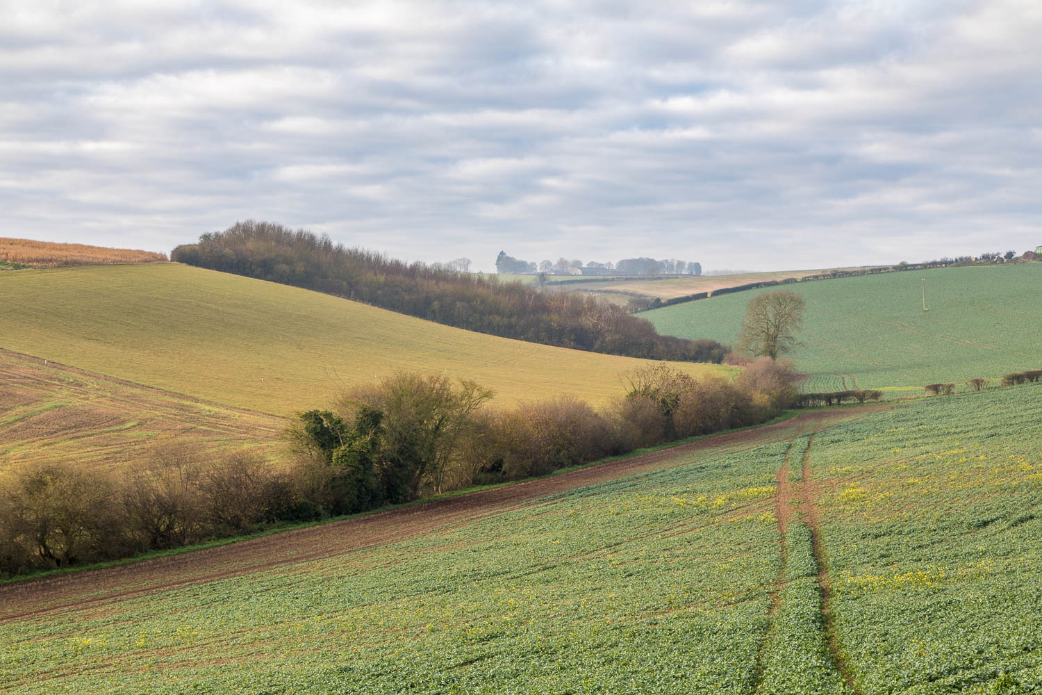
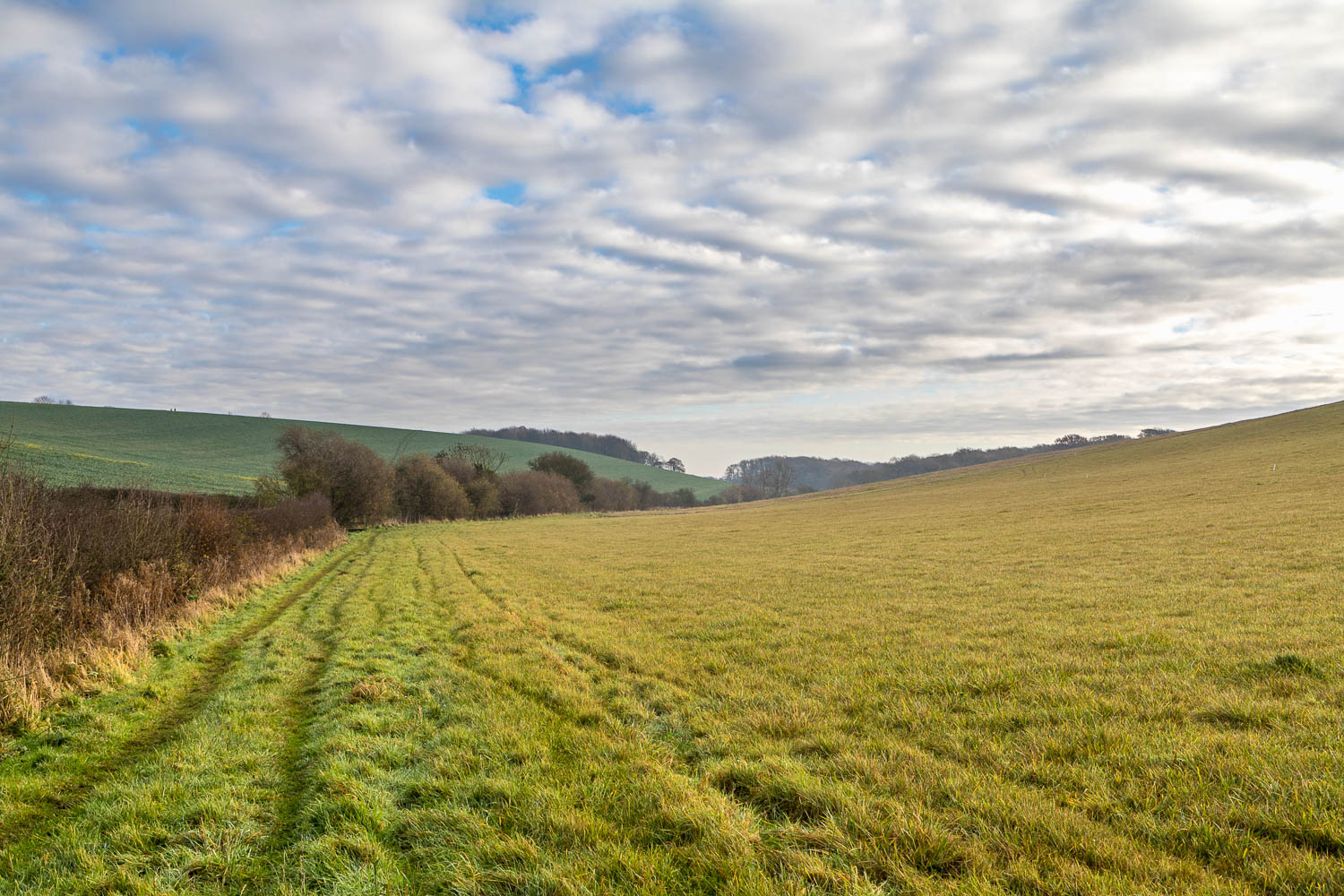
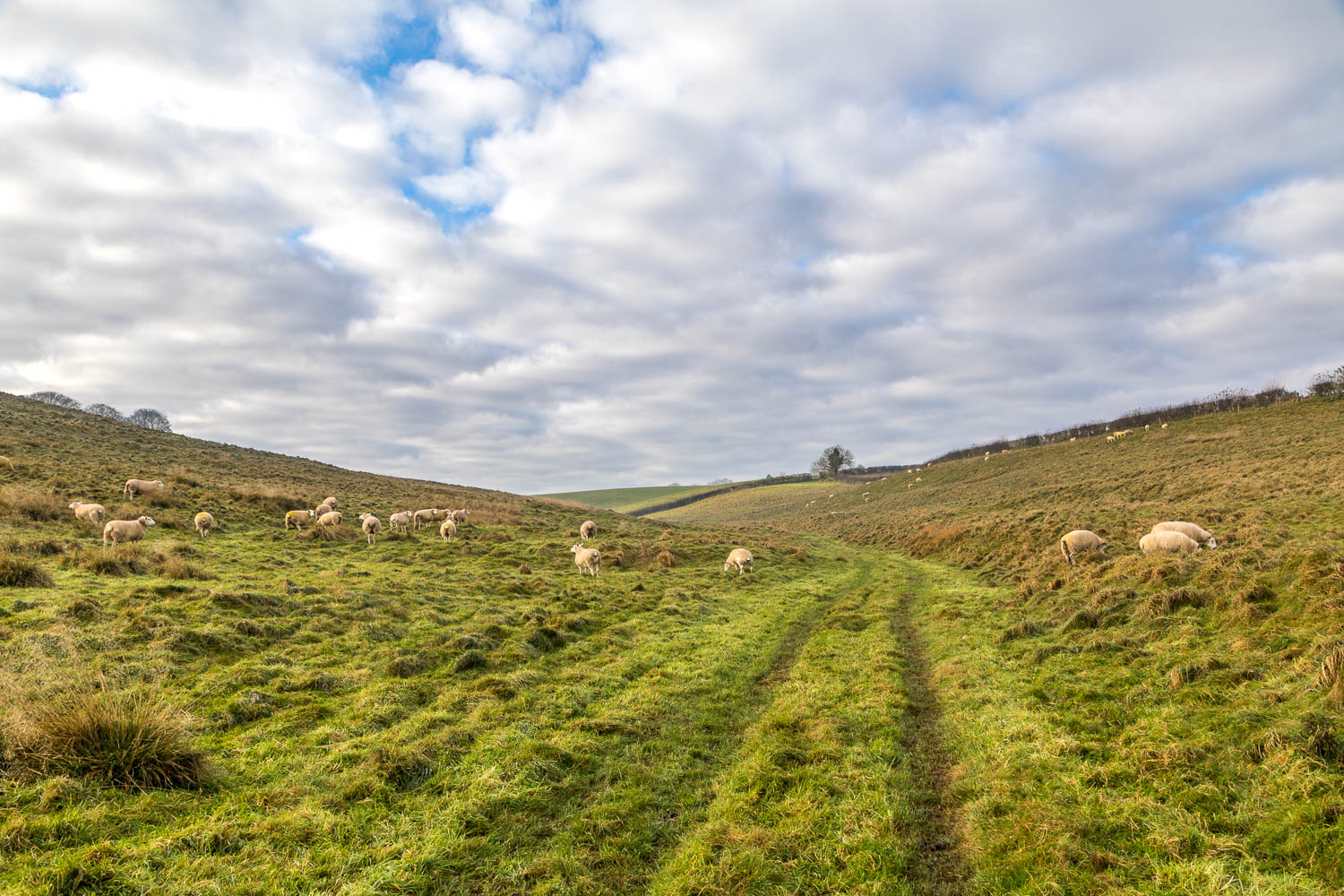
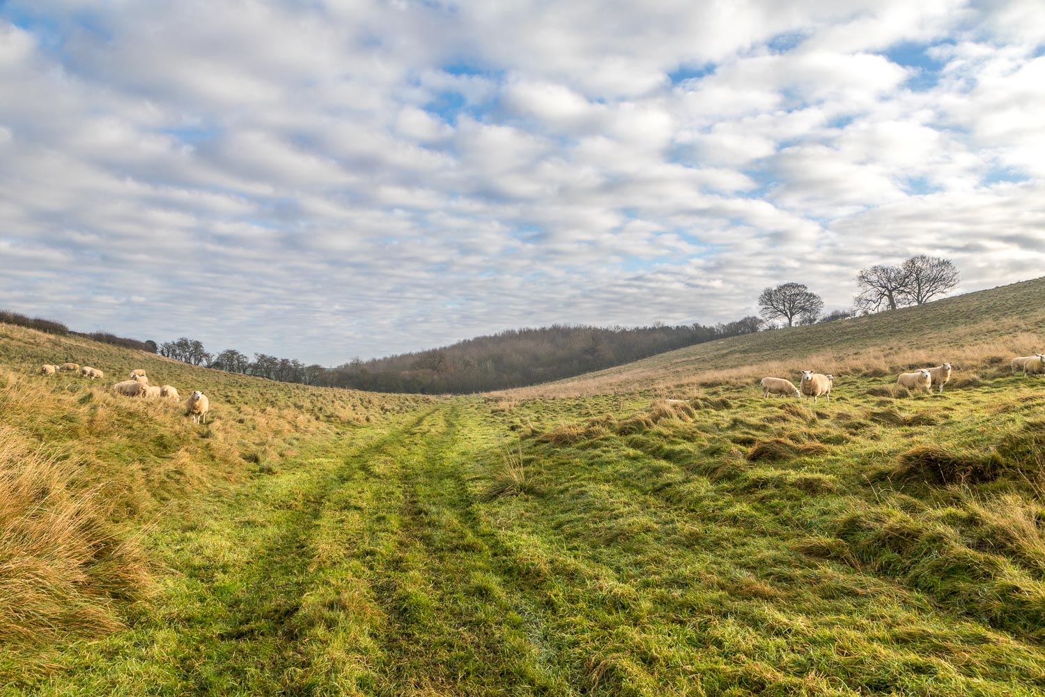
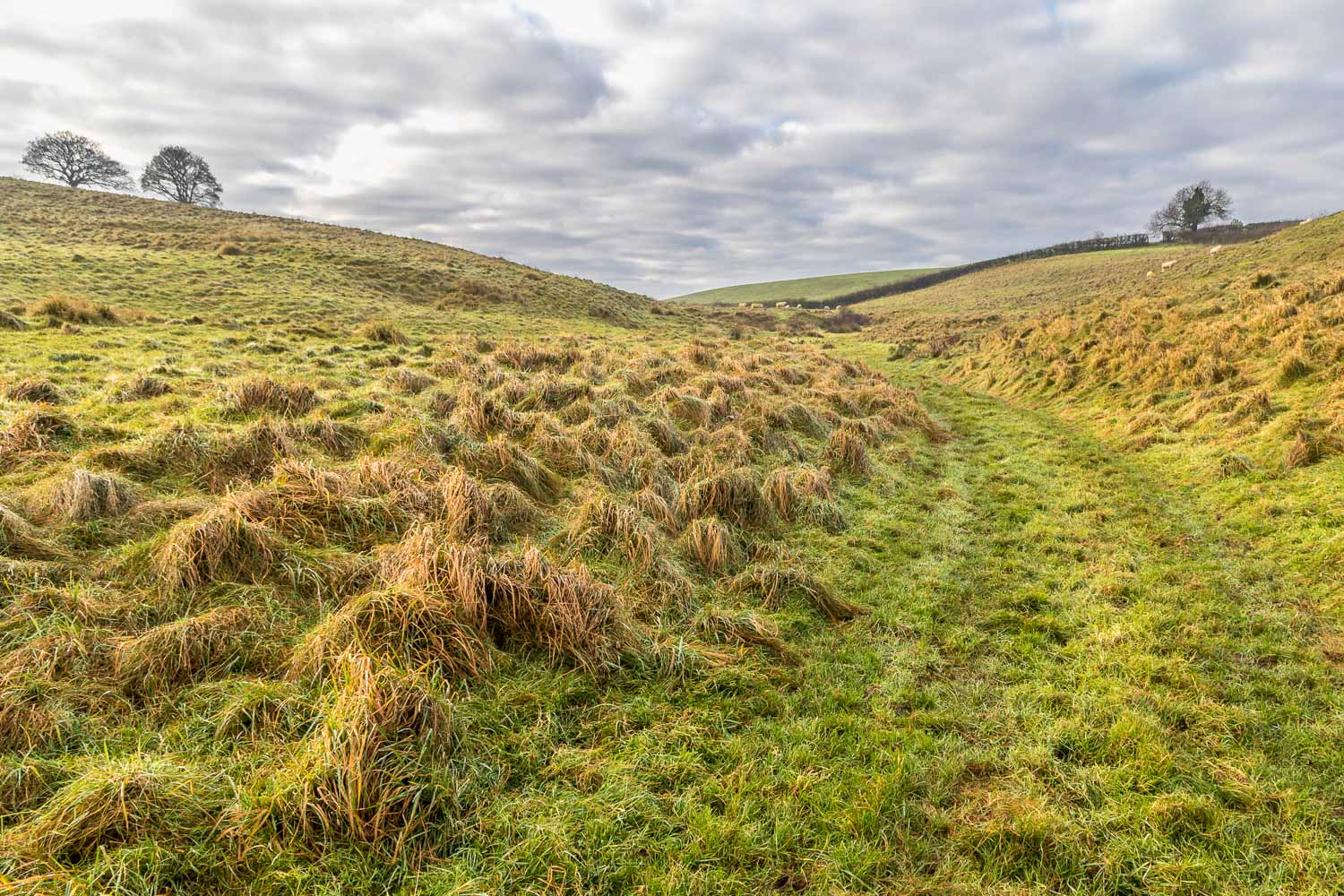
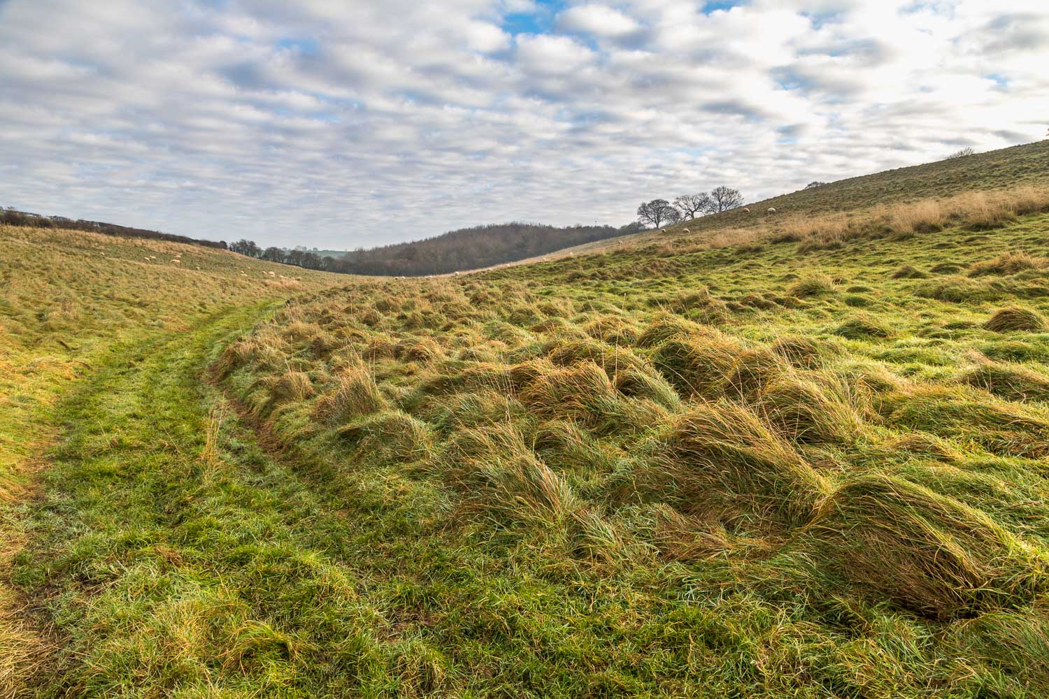
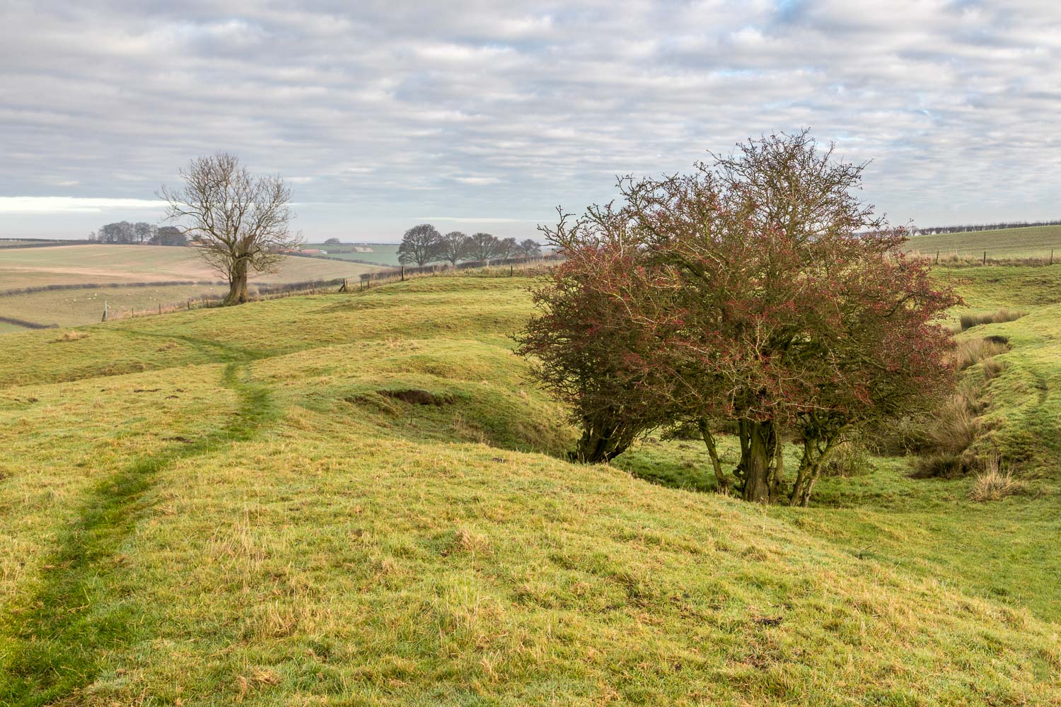
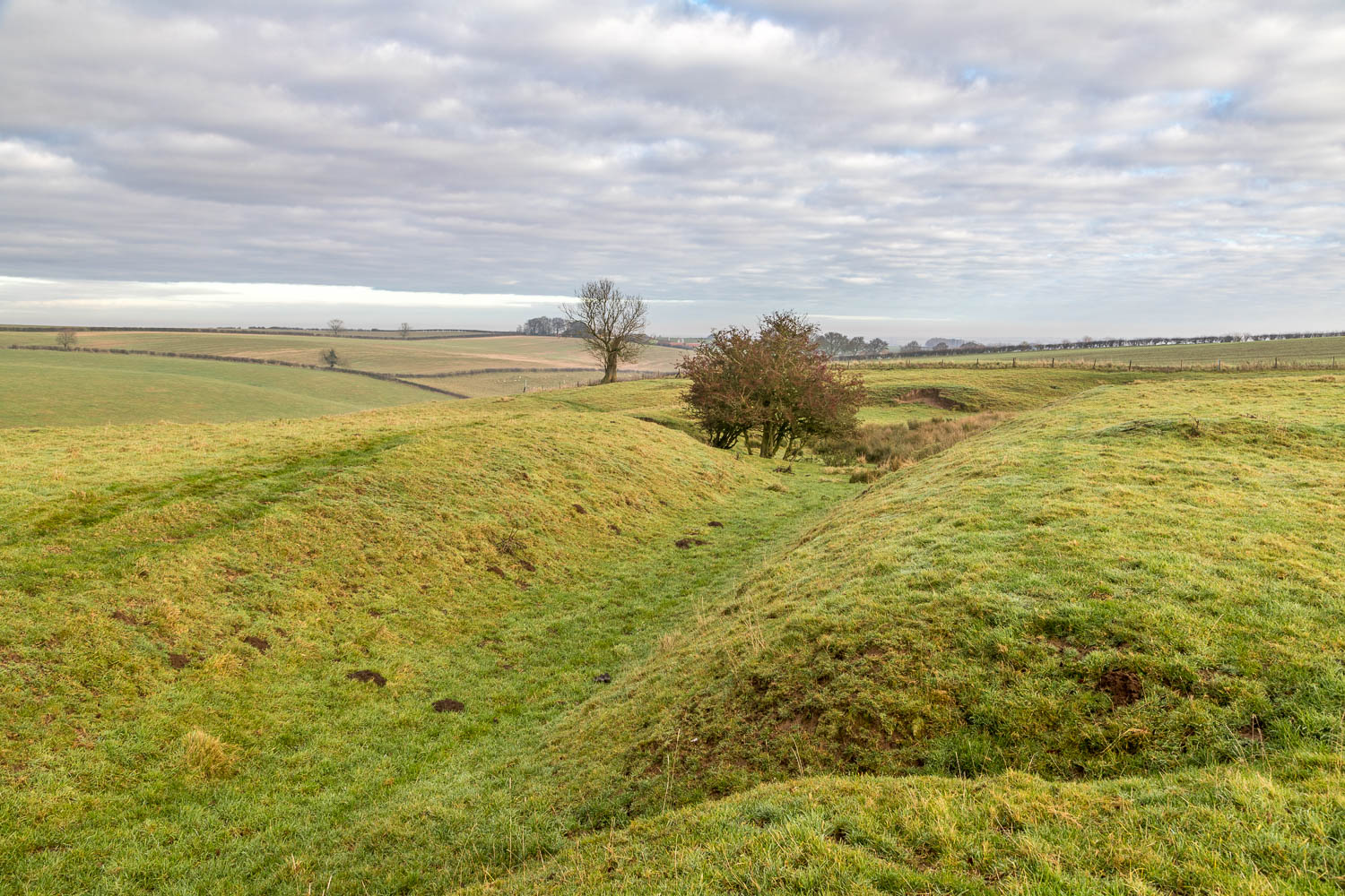
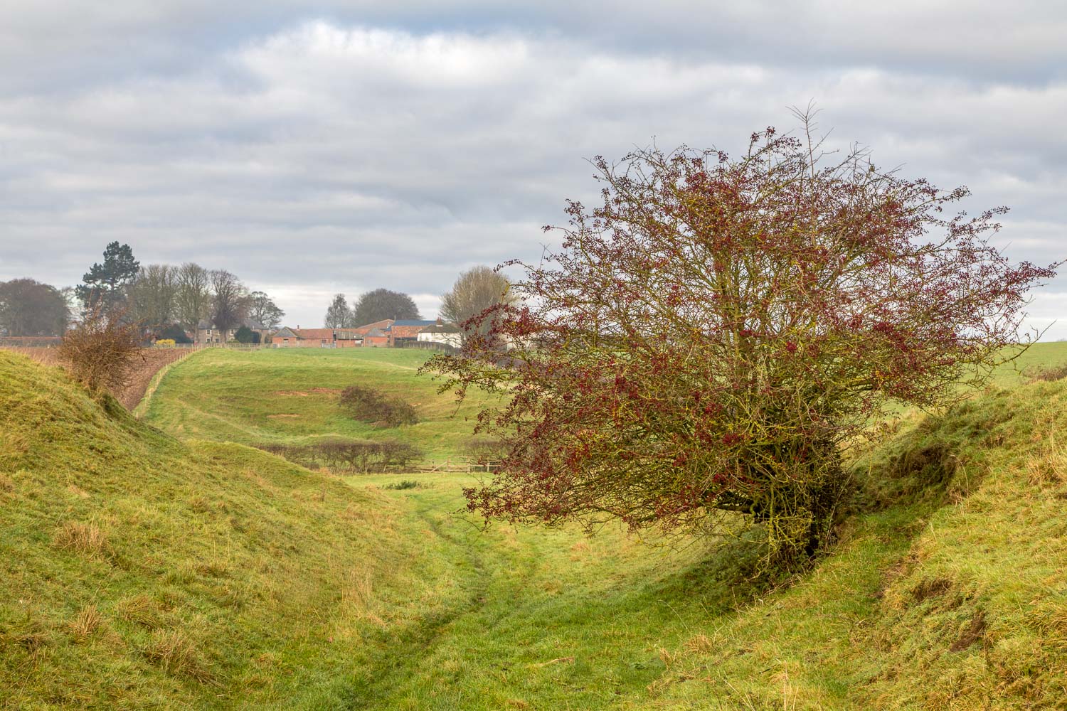
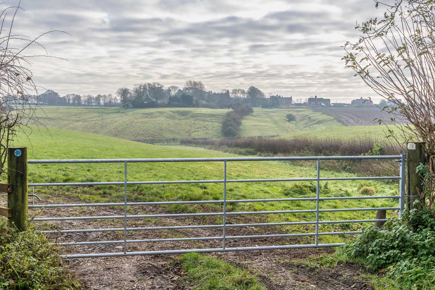
We passed through a small woodland area and emerged into a lovely valley. We walked along the valley bottom and then climbed up towards North Elkington. We walked into the village via the site of the medieval village. The earliest record of a settlement here dates from 1066, and the site was occupied until the 16th century. There are no buildings to be seen, but there are remnants of hollow ways – old paths which have been worn down by footsteps, hooves and cart wheels. After walking through the hummocky site we passed through the small existing village to reach the far point of the walk
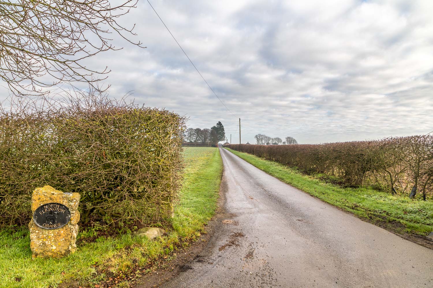
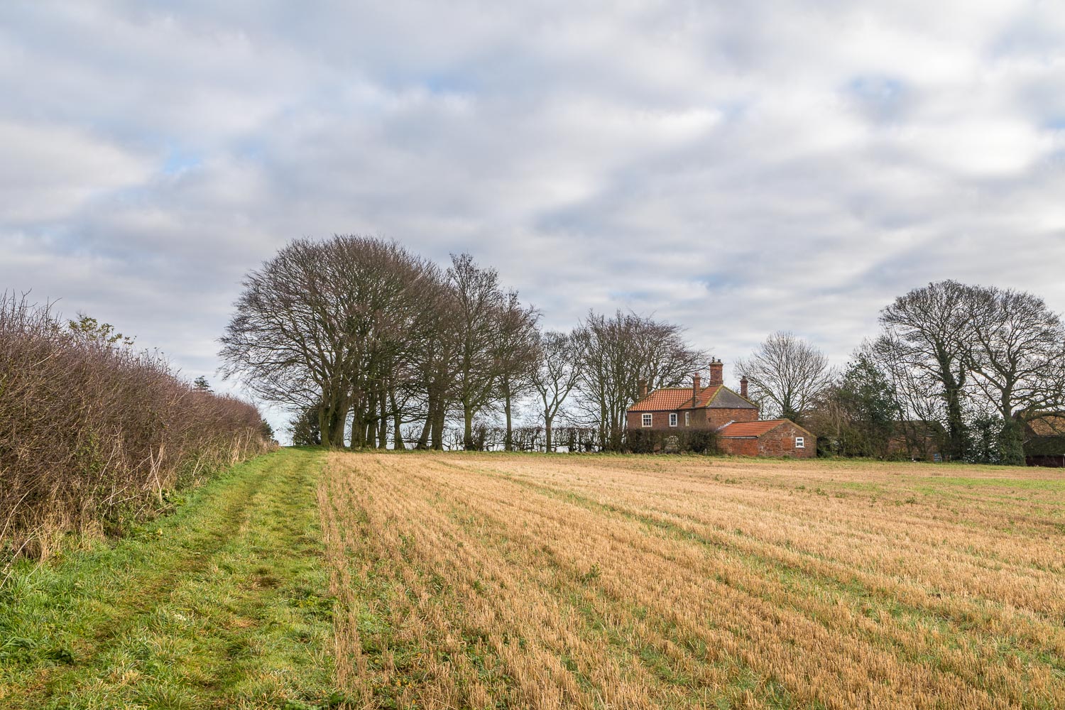
We started the return leg by passing through Grange Farm, and then followed tracks over the fields on Fotherby Top, passing through Fotherby Top Farm along the way. This was very easy walking and we made quick progress back to Fotherby Common, where we rejoined our original path. From here we retraced our steps back to the start, enduring once more the crossing over the A16, the only black mark against an otherwise very enjoyable walk
Click on the icon below for the route map (subscribers to OS Maps can view detailed maps of the route, visualise it in aerial 3D, and download the GPX file. Non-subscribers will see a base map)
Scroll down – or click on any photo to enlarge it and you can then view as a slideshow
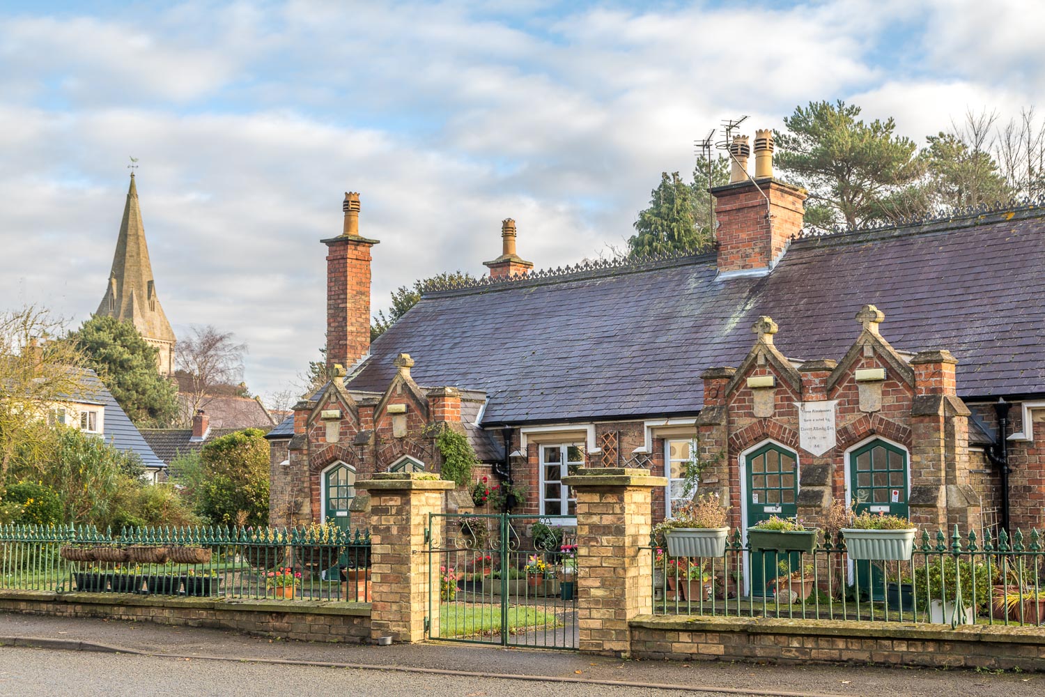
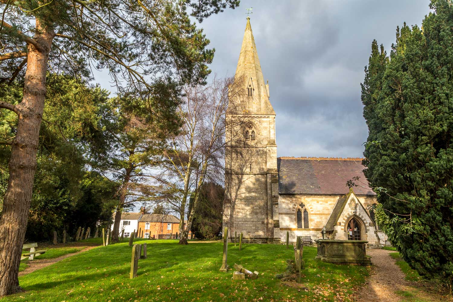
Two days later, the start of the walk from Fotherby - these almshouses were built in 1869, and in the background is St Mary's Church

We pass by Fotherby Common, where the lucky residents of the parish of Fotherby 'have the commoners rights to take of the conies therein'
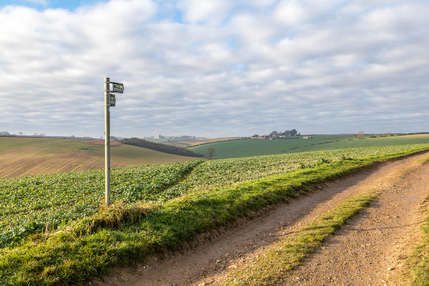
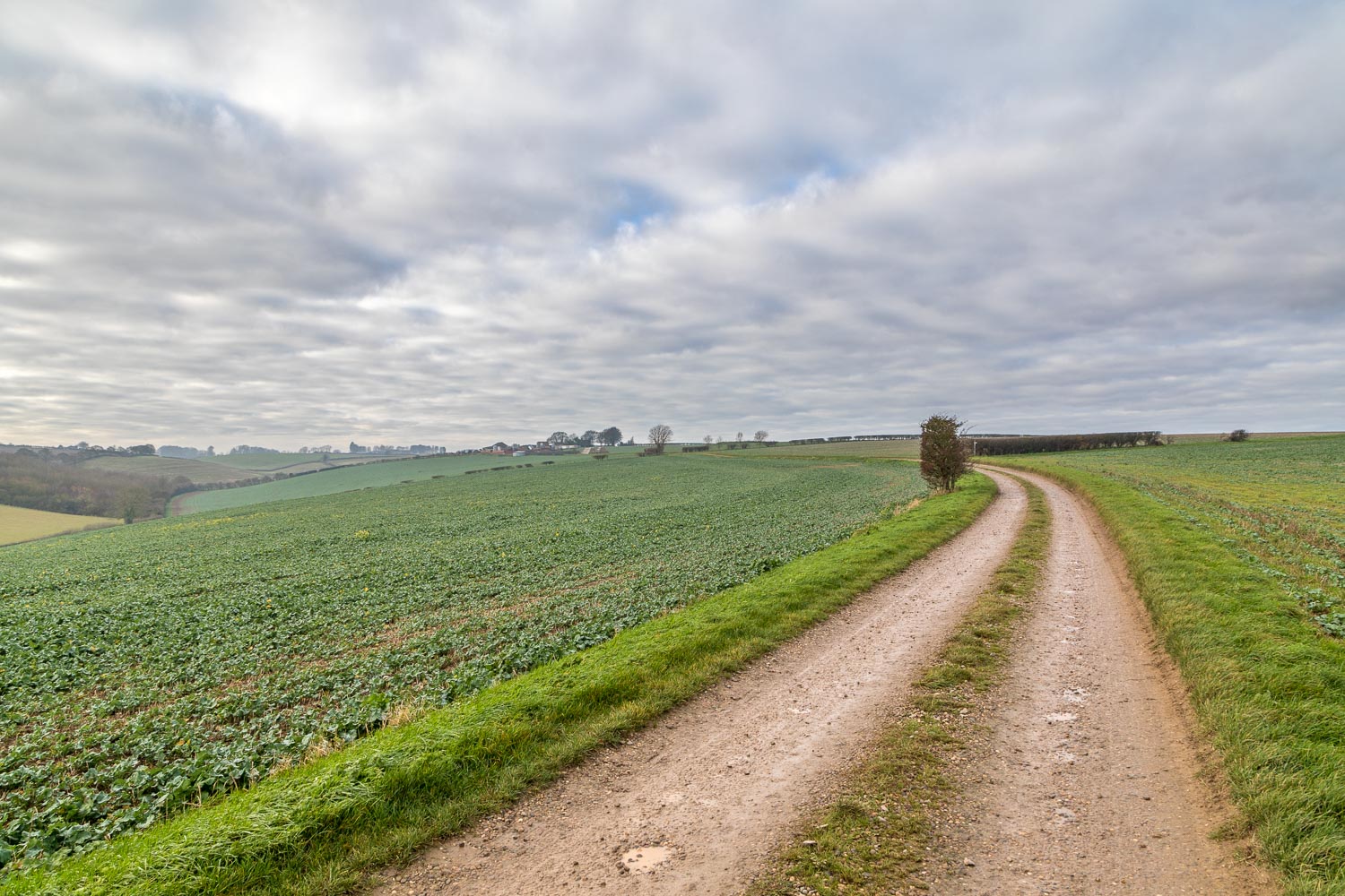
The path splits here - we turn left to follow a narrow path through the field and will return along the track on the right
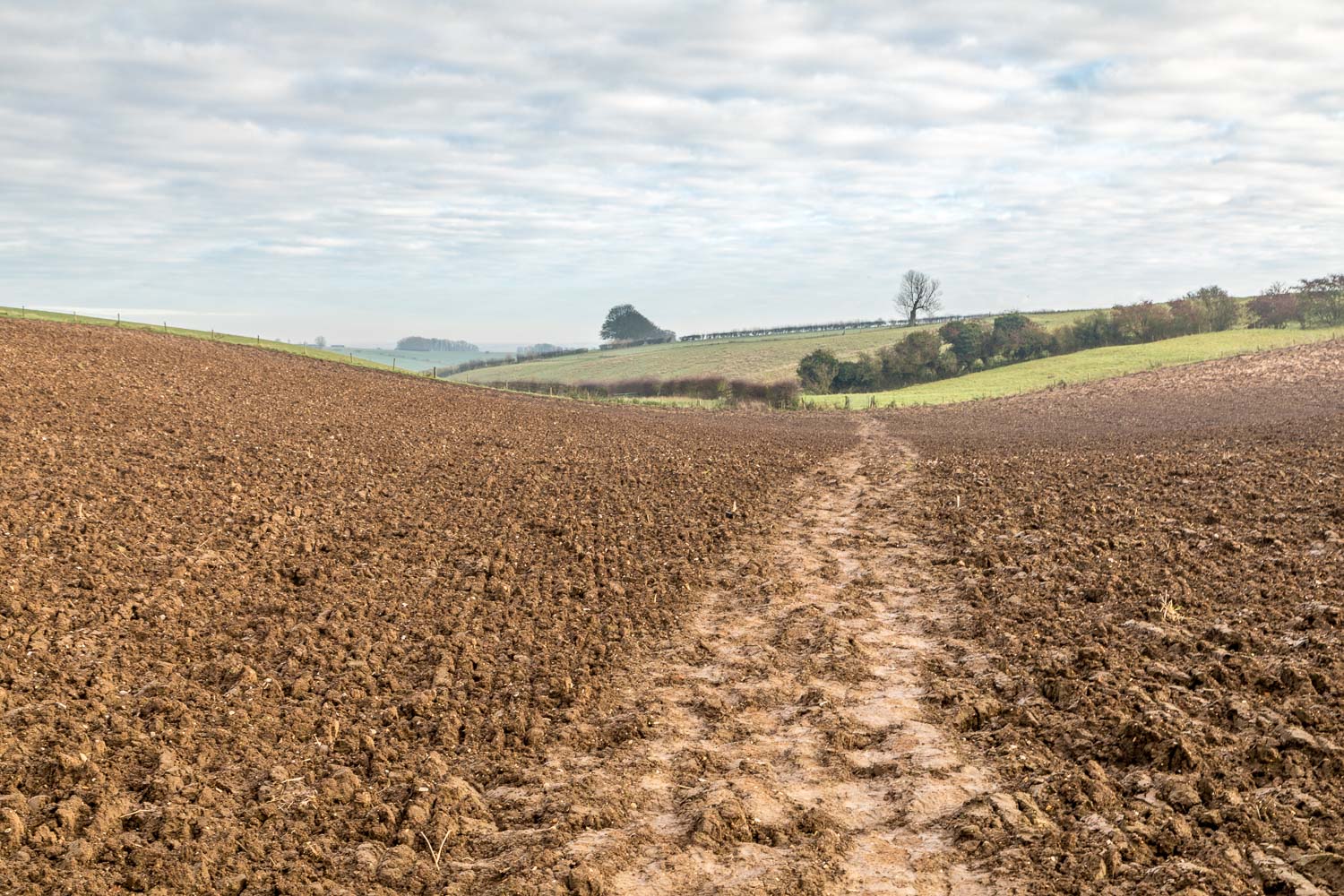
Looking back along a ploughed field at the far point of the walk - we emerged from here with our boots caked in Lincolnshire mud
