Route: Rannerdale Knotts
Area: North Western Lake District
Date of walk: 5th January 2016
Walkers: Andrew
Distance: 3.0 miles
Ascent: 1,000 feet
Weather: Cloudy, a few bright spells and some light rain
Rannerdale is famed for its amazing display of bluebells in May, unusual as they grow on open fellside instead of their usual woodland habitat (click here for last year’s visit). There would be no such spectacle today, but Rannerdale Knotts is a great little fell and worth a visit at any time of the year
I parked in the National Trust car park at Hause Point and from here the ascent starts almost immediately. It’s a steep but quite short climb, and within a few minutes I was at the summit enjoying lovely views over Crummock Water and Buttermere
From here I made my way across the knobbly summit ridge known as Low Bank, which leads to the south top. I then descended into Rannerdale valley following the path beside Squat Beck with views of Crummock Water and Loweswater ahead of me
On reaching the northern end of the fell I followed a path below the crags back to the car park to end a short but superb walk
For other walks here, visit my Find Walks page and enter the name in the ‘Search site’ box
Click on the icon below for the route map (subscribers to OS Maps can view detailed maps of the route, visualise it in aerial 3D, and download the GPX file. Non-subscribers will see a base map)

Scroll down – or click on any photo to enlarge it and you can then view as a slideshow
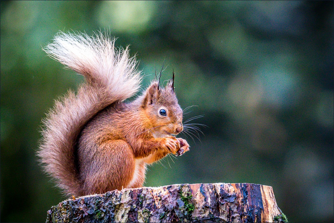
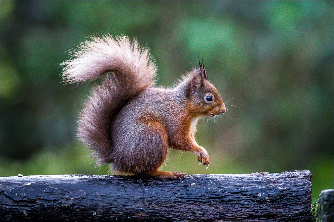
Red squirrel in the garden before I set off this morning
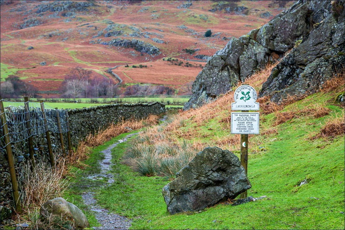
Start of the walk from the car park at Hause Point - I’ll be returning along this path later
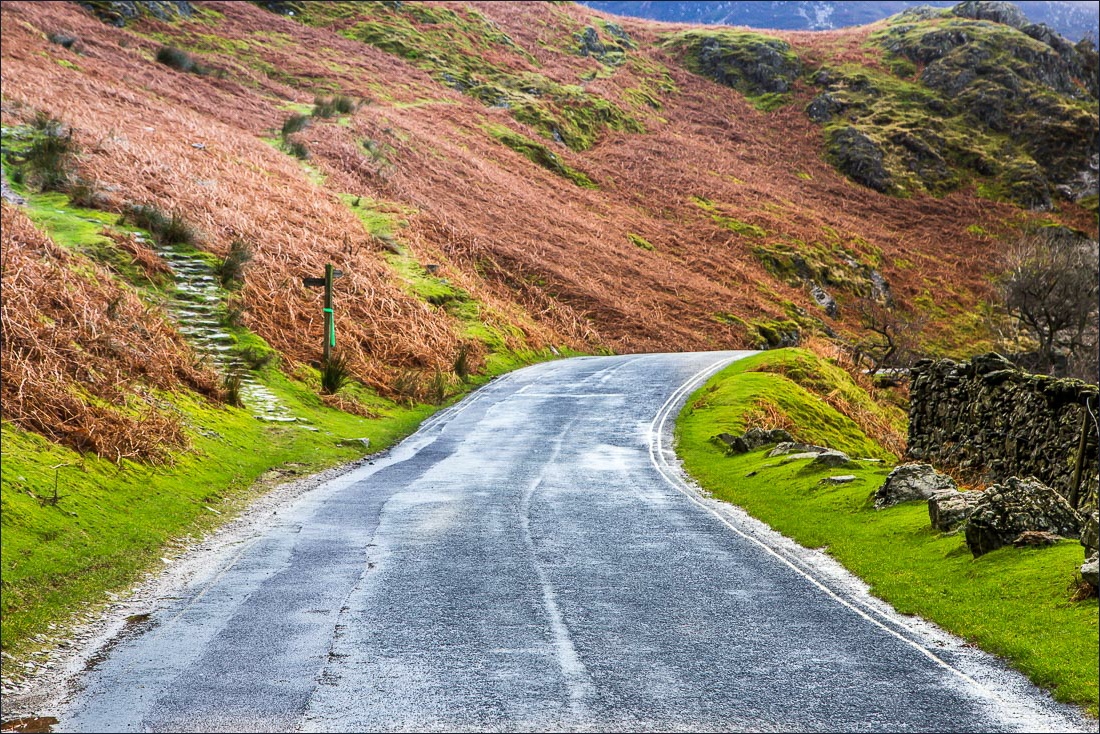
I walk along the Buttermere road for a few yards and then climb left uphill
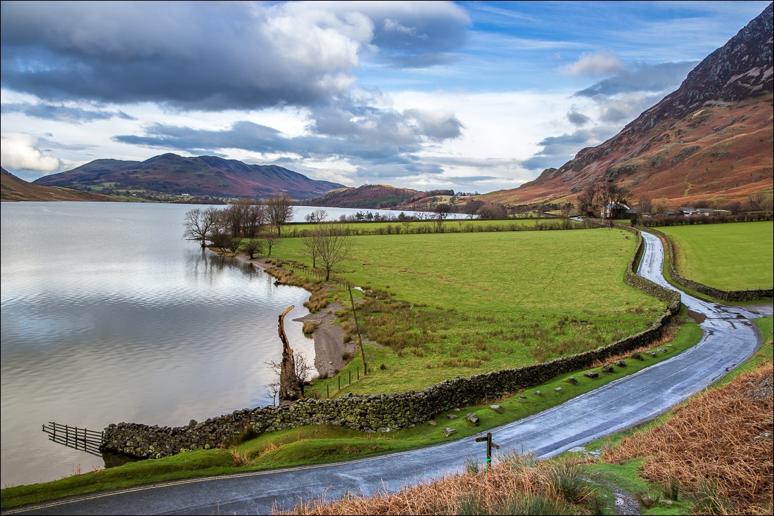
Looking back along the road, with Crummock Water on the left
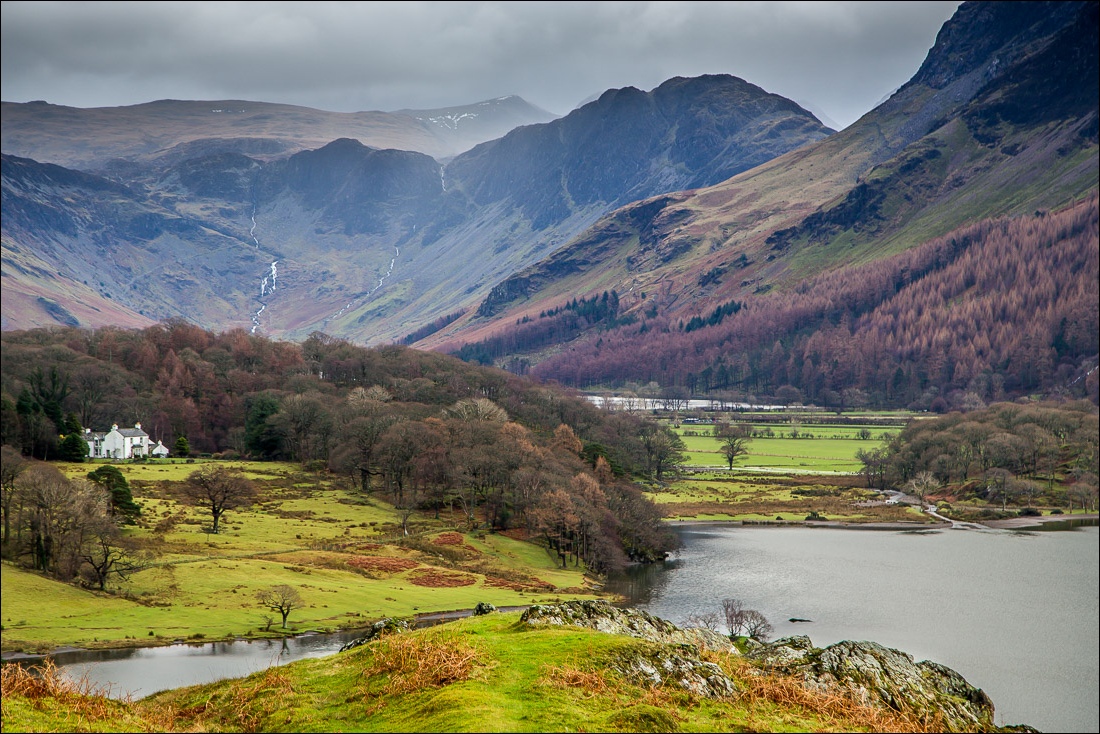
A short detour to admire this wonderful view towards Buttermere and Haystacks
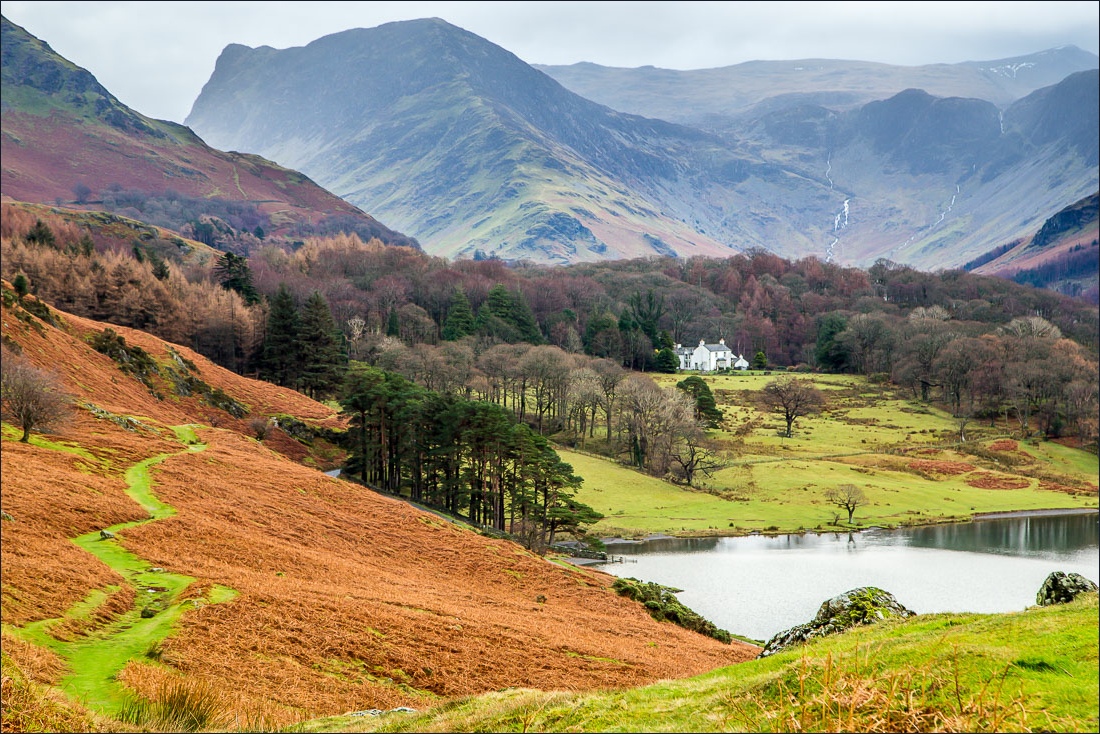
Fleetwith Pike
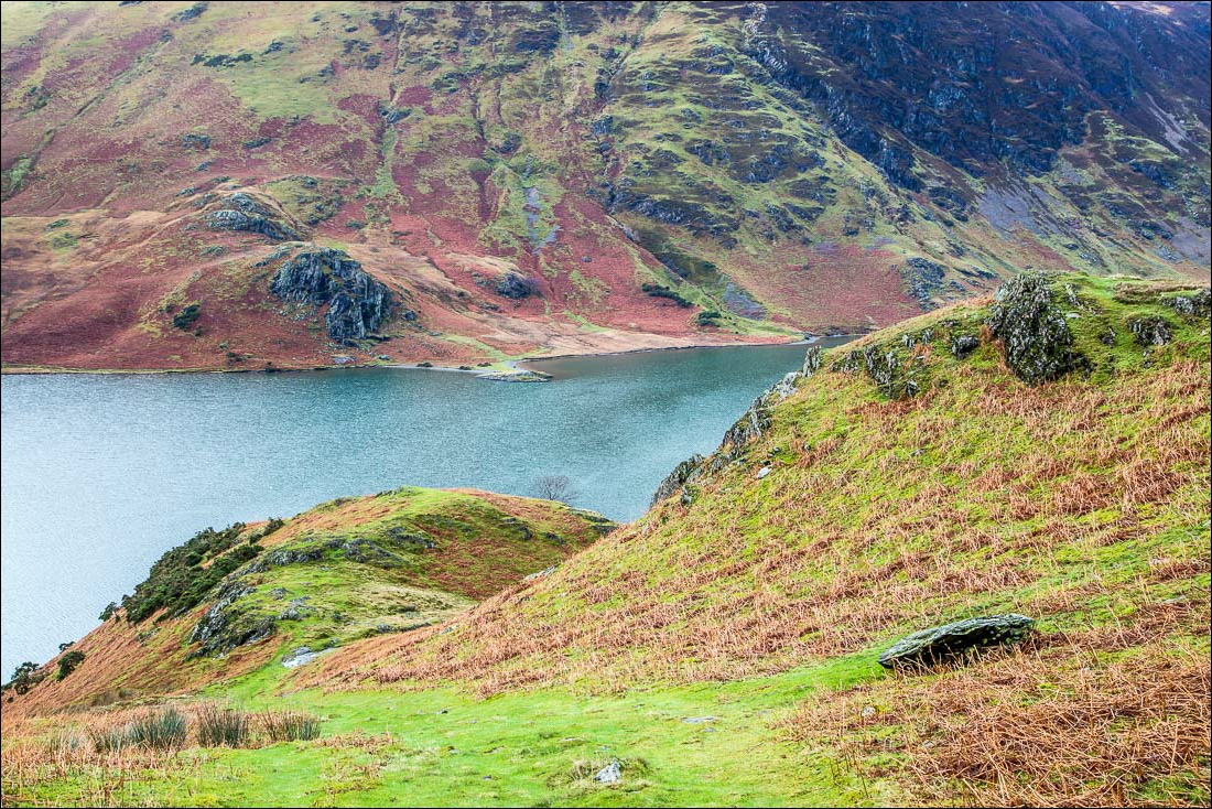
Looking back down the path to Low and High Ling Crag on the far side of Crummock Water
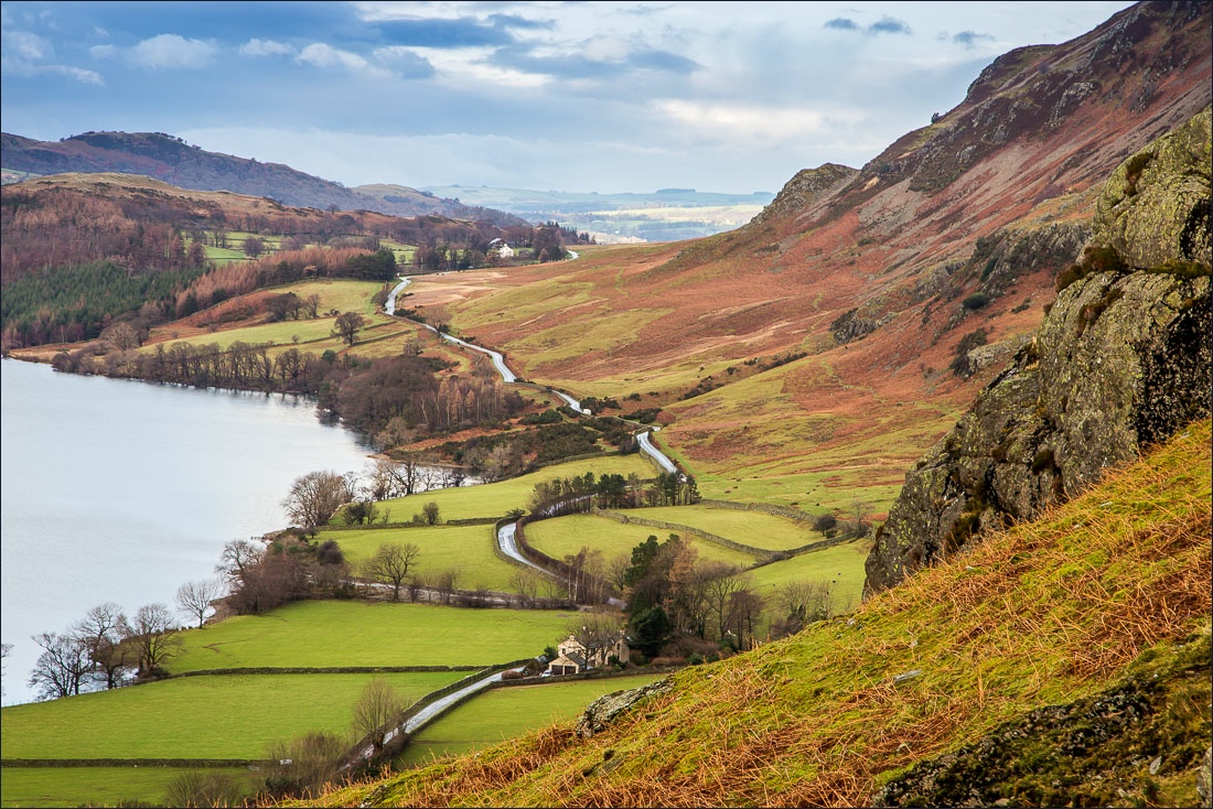
Looking along the Lorton to Buttermere road
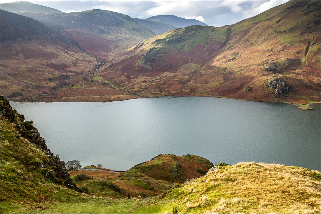
Scale Beck
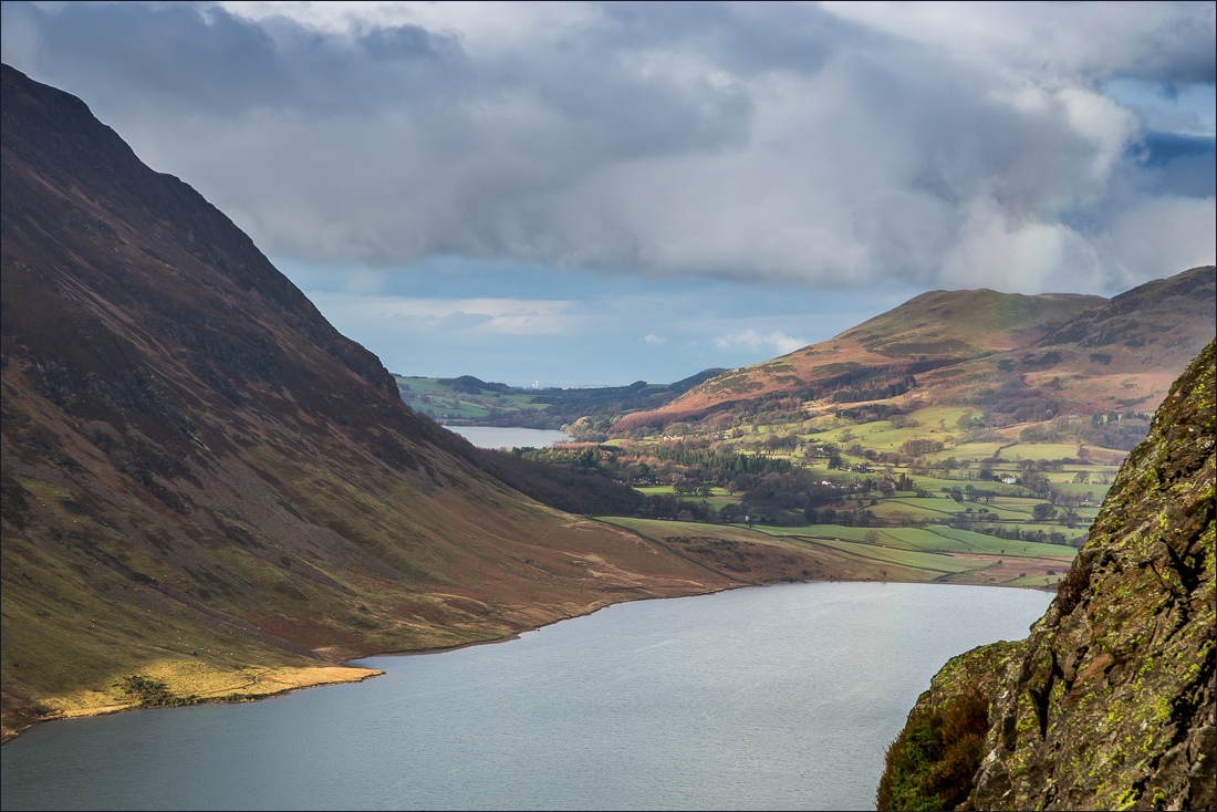
Loweswater beyond the foot of Mellbreak
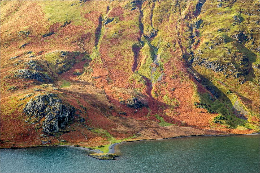
Zooming in on High and Low Ling Crag
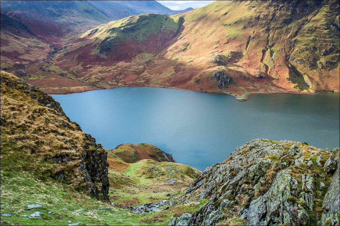
Scale Knott at the southern end of Mellbreak
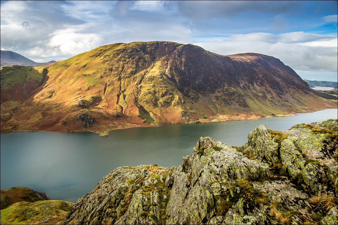
Mellbreak
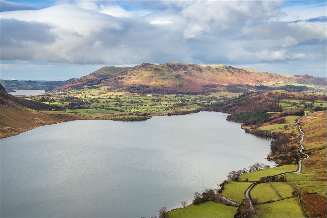
Crummock Water, Loweswater and Low Fell
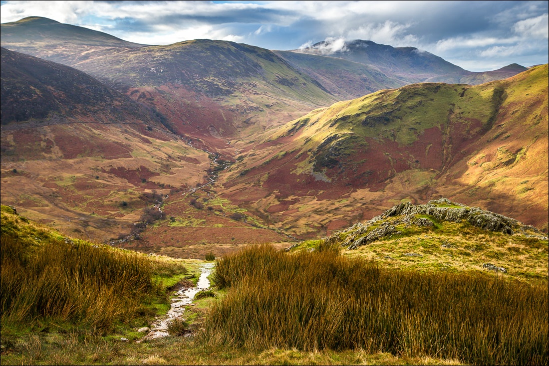
Scale Beck and Scale Knott again, with Great Borne in the distance
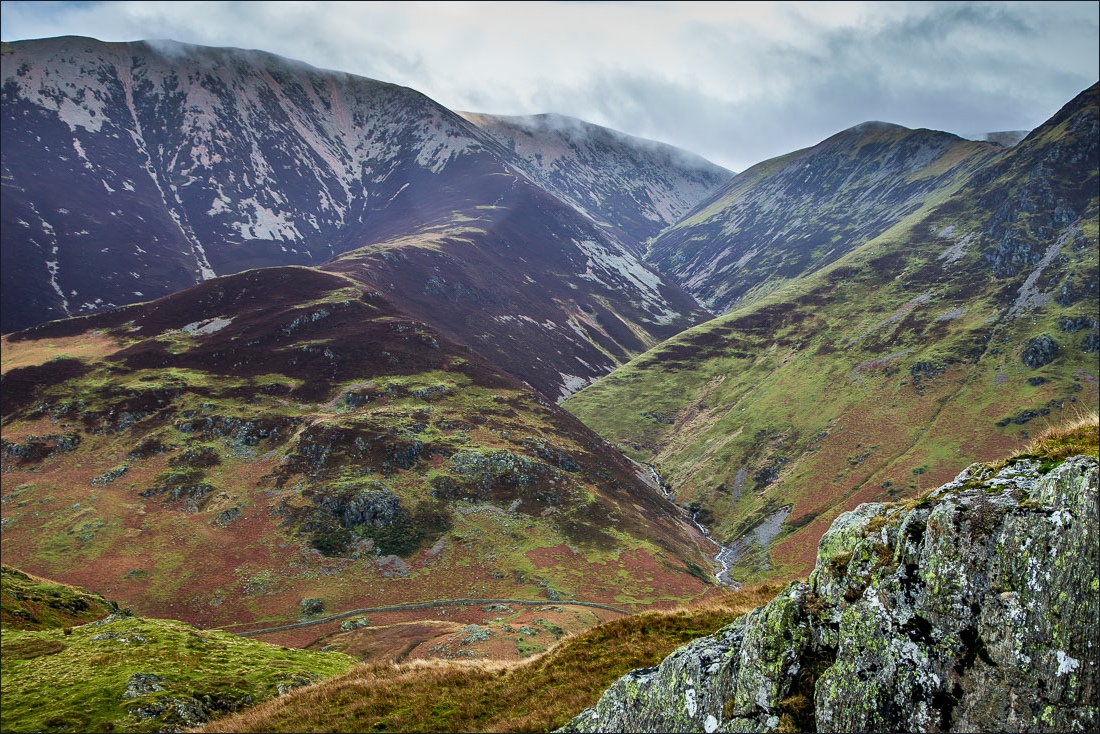
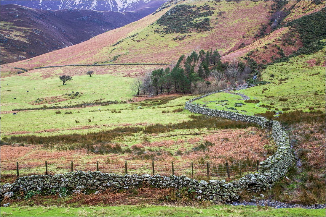
Rannerdale Beck flowing down between Grasmoor and Wandope
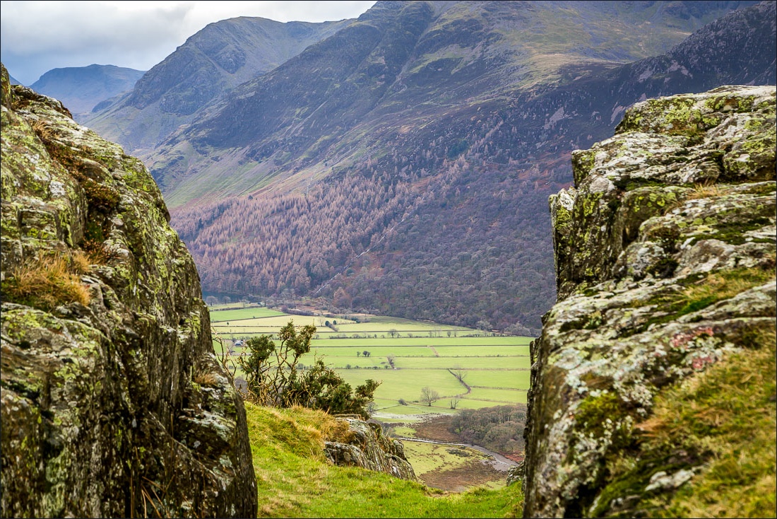
Summit of Rannderdale Knotts looking towards Buttermere
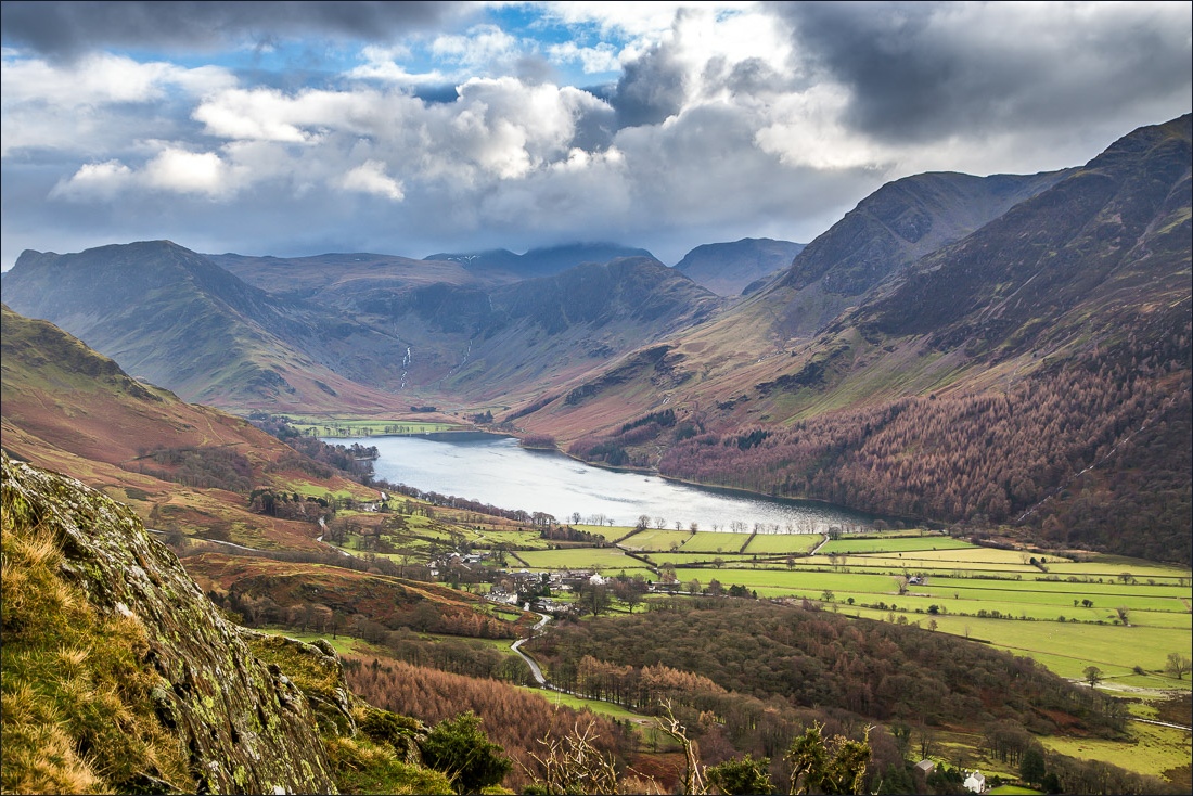
Buttermere
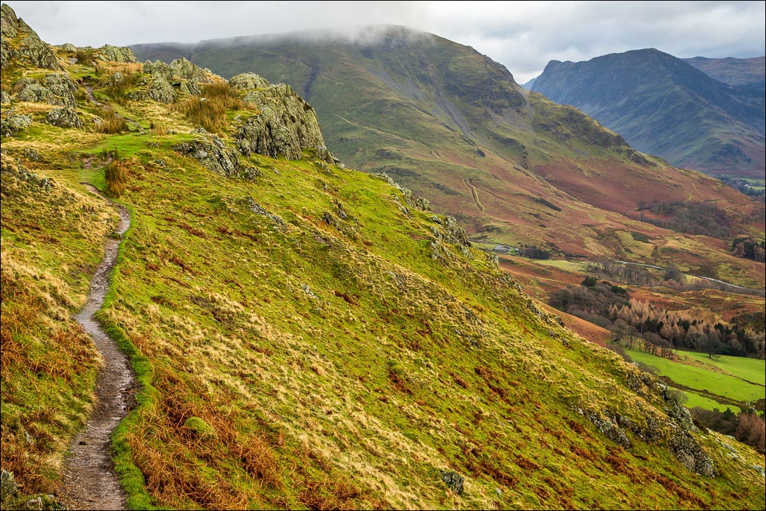
I follow the path along the summit ridge towards High Snockrigg
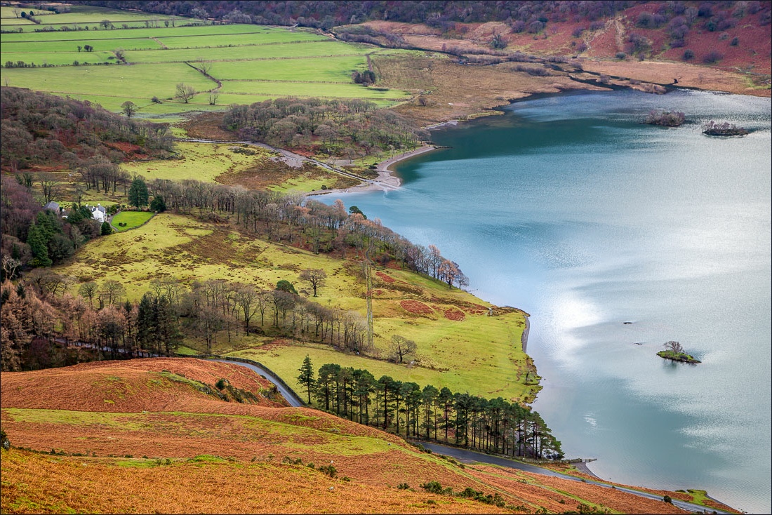
Looking down to Crummock Water
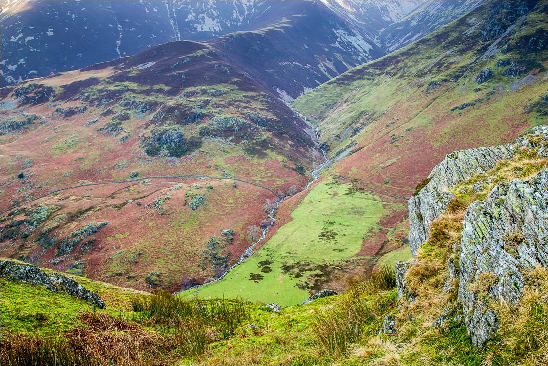
…and looking down the other side into Rannerdale, which will be my return route
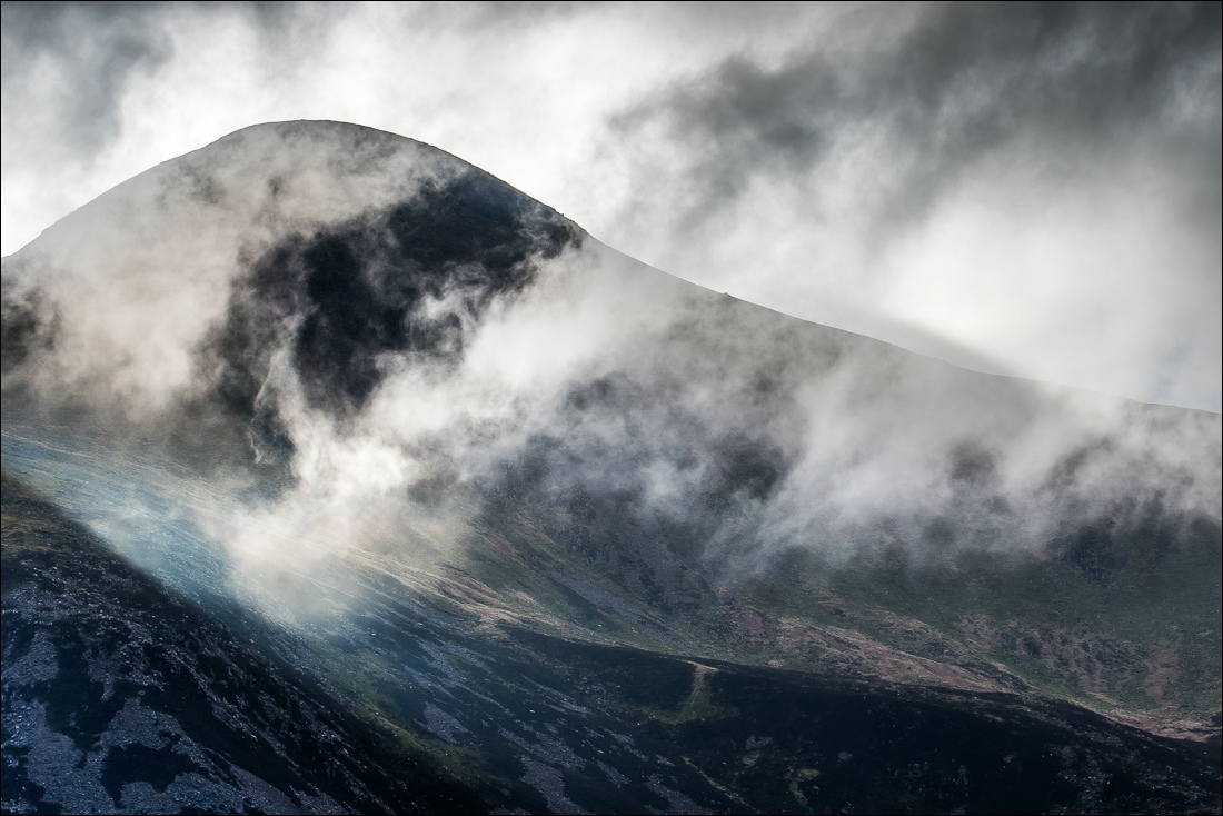
Red Pike
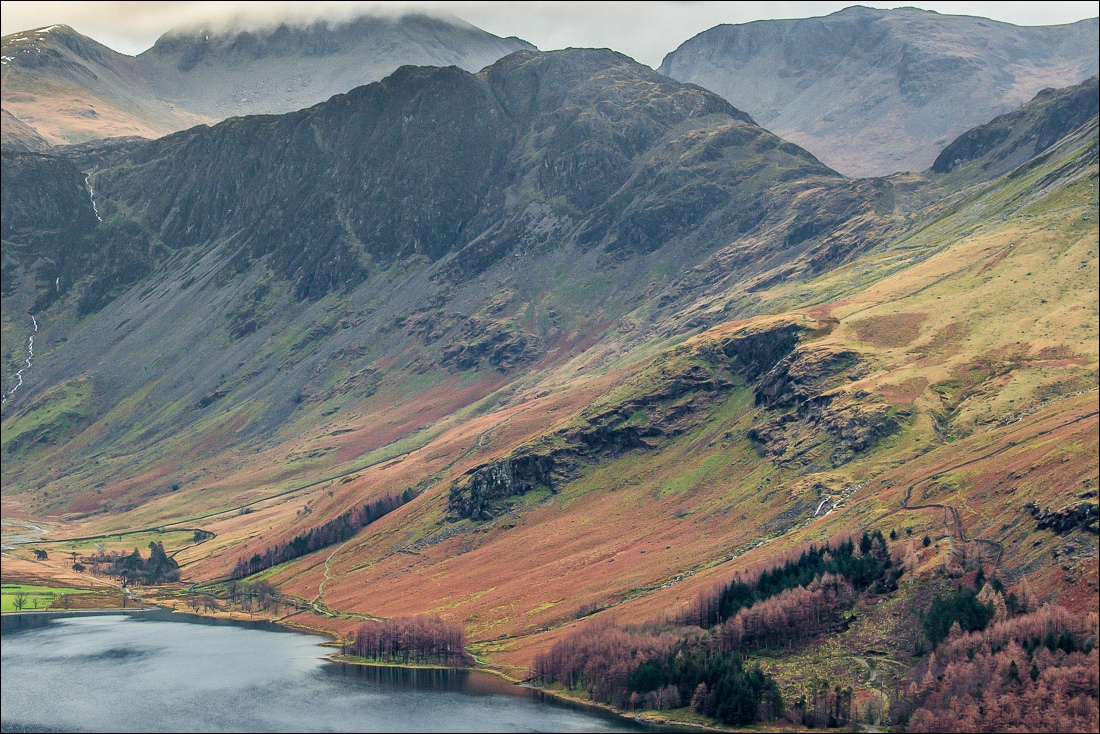
Haystacks
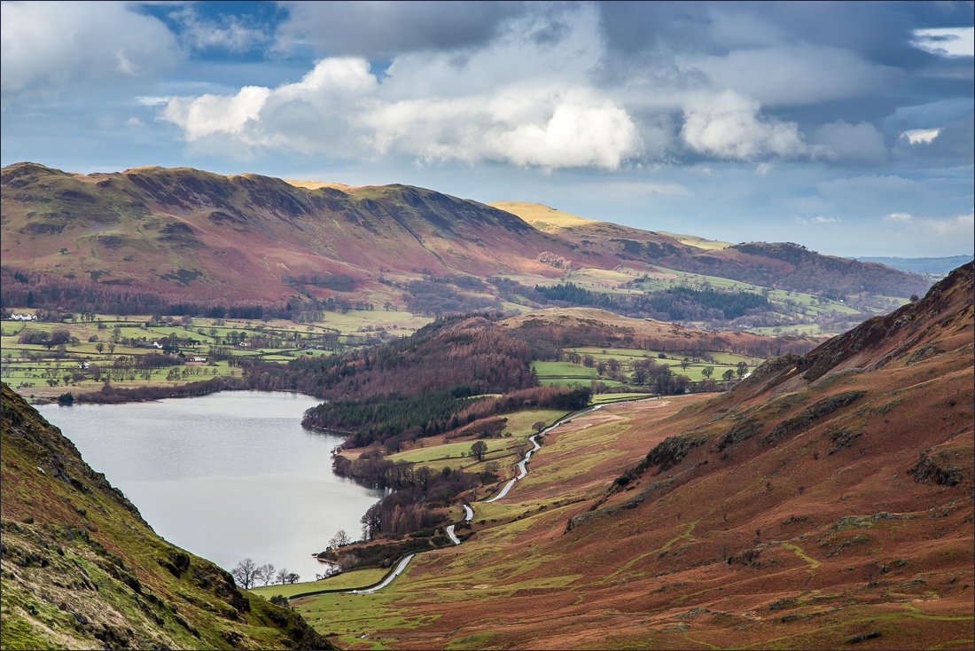
Low Fell and Fellbarrow
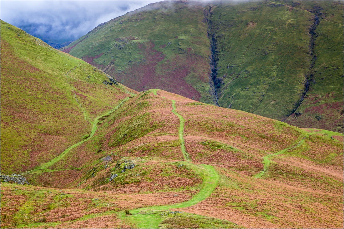
Approaching the end of the ridge, at which point I will turn sharp left to descend into Rannerdale
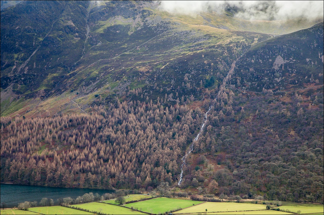
Sourmilk Gill flowing out of Bleaberry Tarn
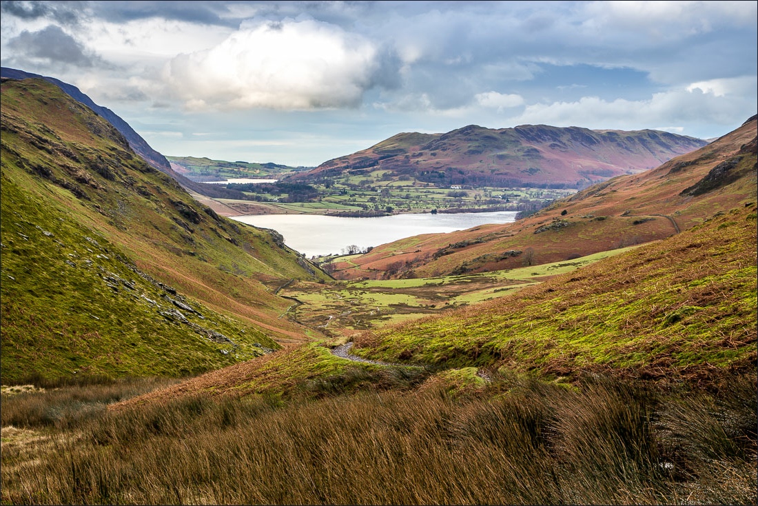
I descend gently down Rannerdale, with views of Crummock Water and Loweswater ahead
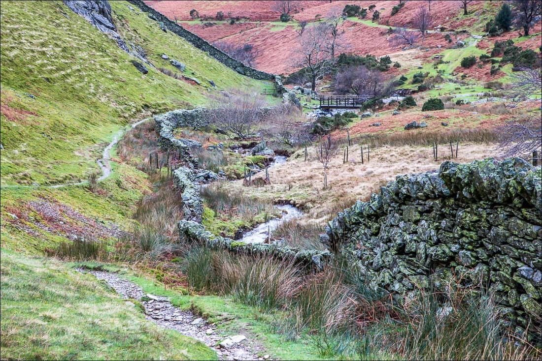
Squat Beck on my right
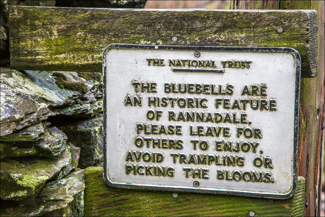
I’ll be back in May to see this amazing spectacle
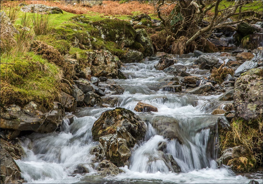
Squat Beck
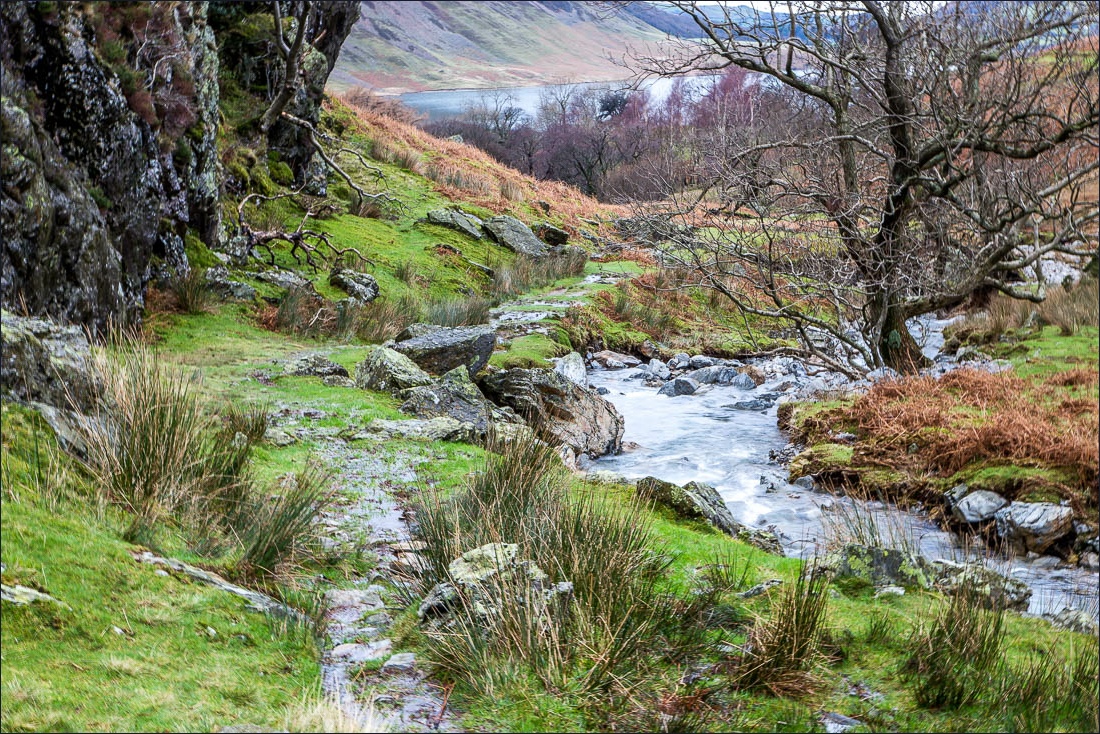
I follow the path around the base of Rannerdale Knotts

The car park is just around the corner - the end of a wonderful walk


