Route: Lonscale Fell
Area: Northern Lake District
Date of walk: 5th January 2013
Walkers: Andrew
Distance: 4 miles
Ascent: 1,500 feet
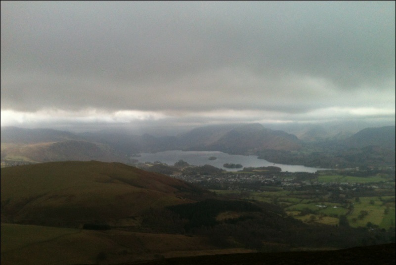
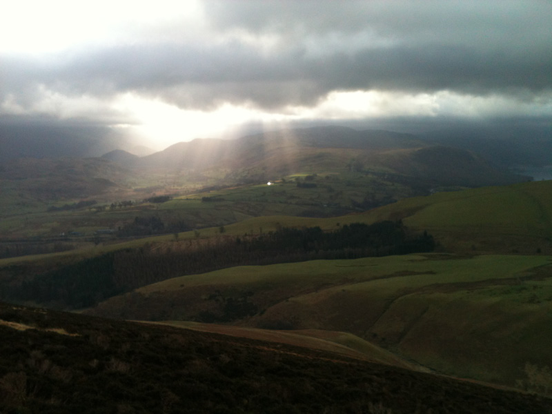
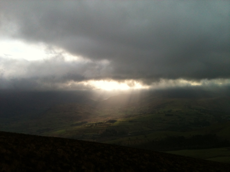
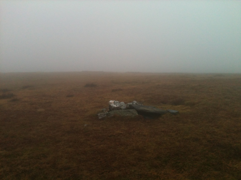
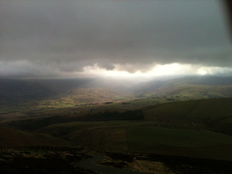
I parked at the end of the track beyond the Underscar Hotel, crossed Whit Beck and went along the flank of the fell, turning uphill to make a stiff climb of about 1,300 feet. I forgot the camera and had to make do with the iphone, annoyingly. It wasn’t the disaster it could have been, since half way up I climbed into the clouds and there were no views at all.
After reaching the summit (2,344 feet), I descended via the ‘motorway’ to Skiddaw, where there were plenty of people making the climb up, though most of it would have been in zero visibility.
Click on the icon below for the route map (subscribers to OS Maps can view detailed maps of the route, visualise it in aerial 3D, and download the GPX file. Non-subscribers will see a base map)
Scroll down – or click on any photo to enlarge it and you can then view as a slideshow
