Route: Hessle to South Cave (Yorkshire Wolds Way stage 1)
Area: East Yorkshire
Date of walk: 13th December 2014
Walkers: Andrew
Distance: 13.0 miles
Ascent: 1,300 feet
Weather: Sun and blue skies throughout. Cold
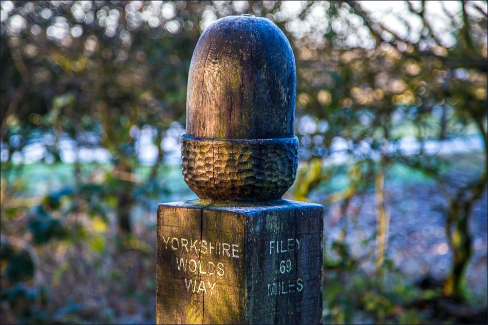
The Yorkshire Wolds Way is an 80 mile walking route from Hessle to Filey, taking in some of the best scenery on offer in the chalk landscape of the Yorkshire Wolds
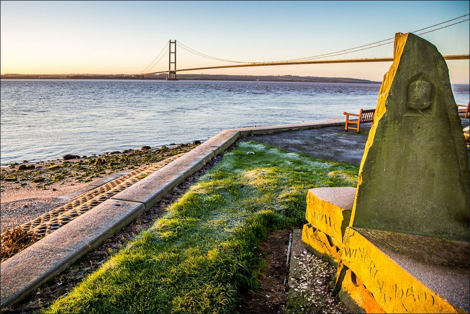
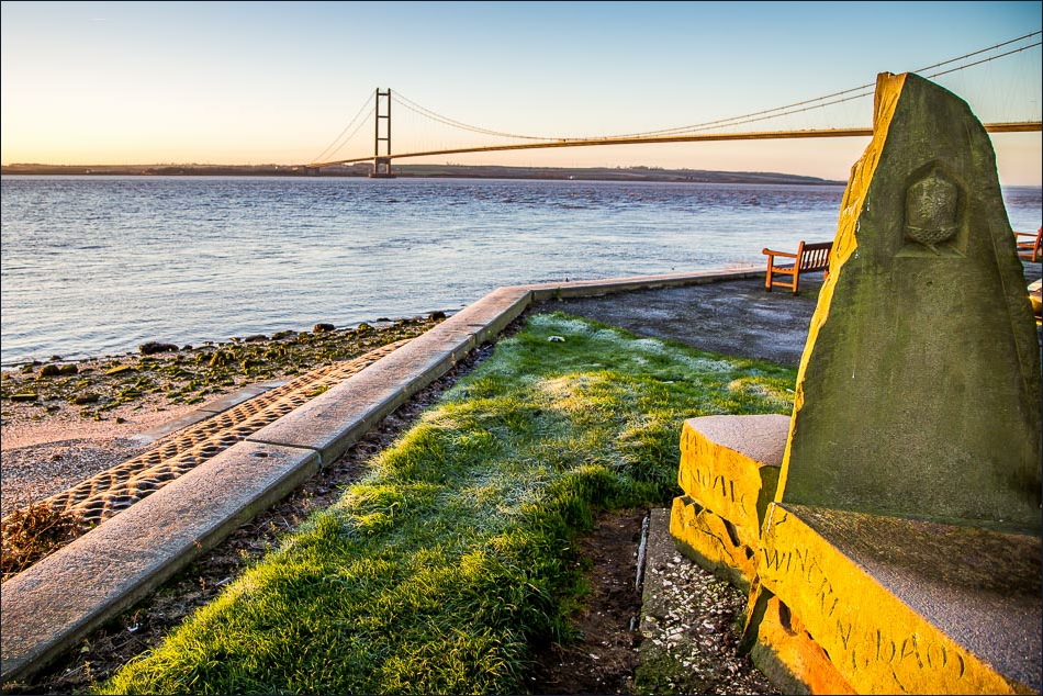
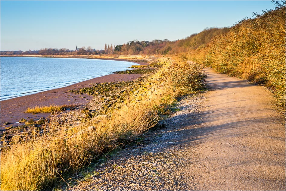
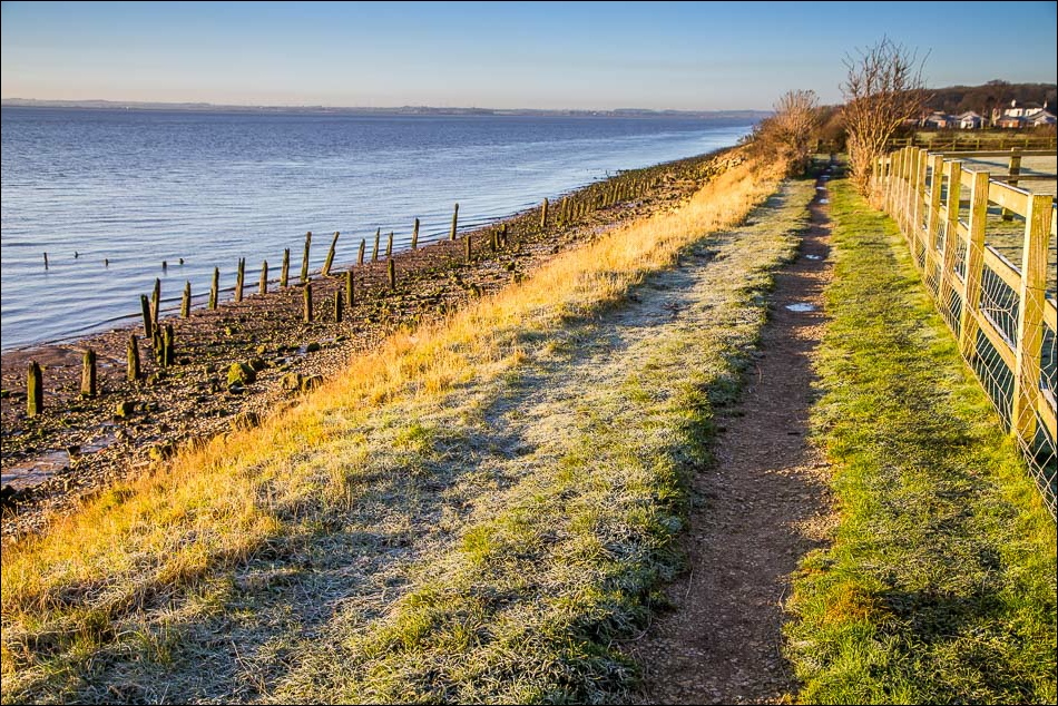
The official start is at Hessle Haven, though most people start a little nearer the Humber Bridge, at a sculpture adjacent to a car park. I arrived early and the sight of the rising sun shining on the Humber and the Humber Bridge was a wonderful sight as I walked along the banks of the estuary
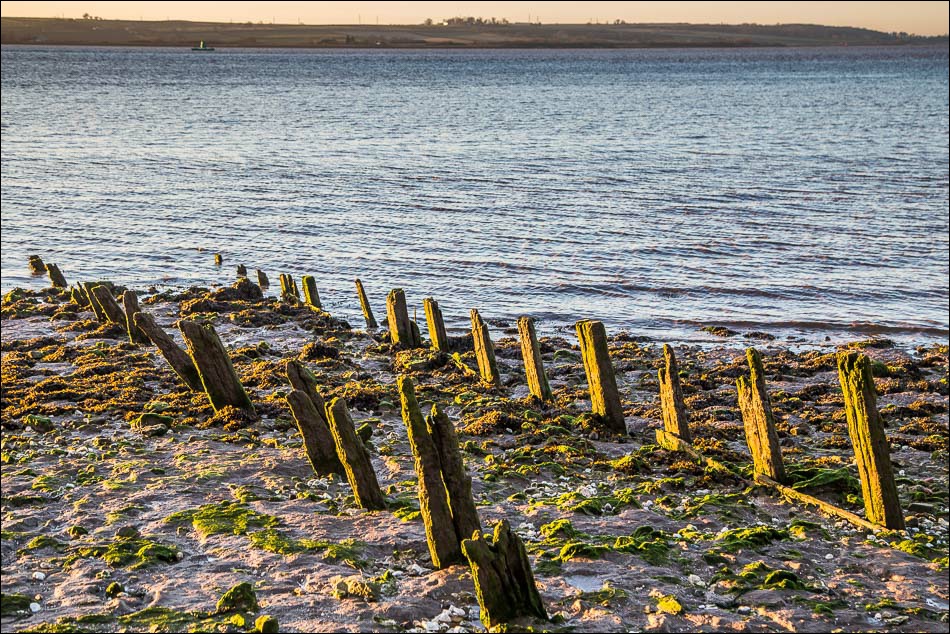
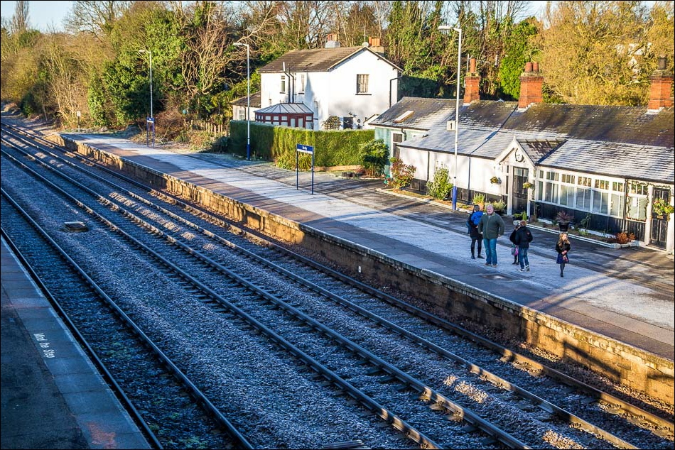
When I reached North Ferriby I followed the low tide route which appeared to be accessible but about half way along it would have meant wading through mud or clambering over large rocks, so I headed inland and walked through the village. I rejoined the official route at the roundabout which leads to the busy A63
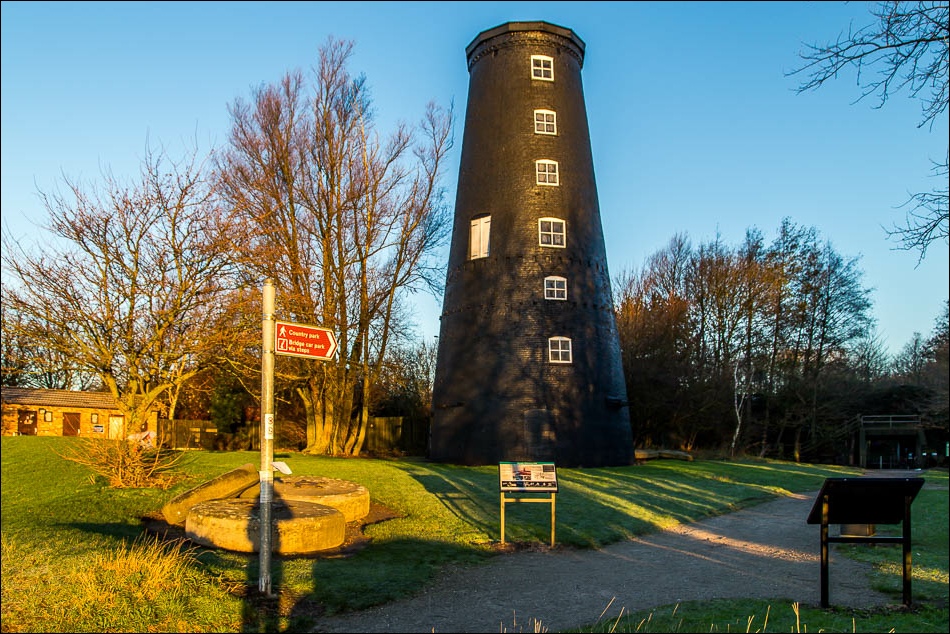
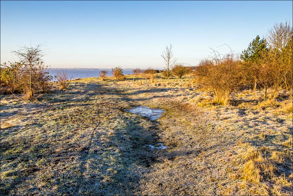
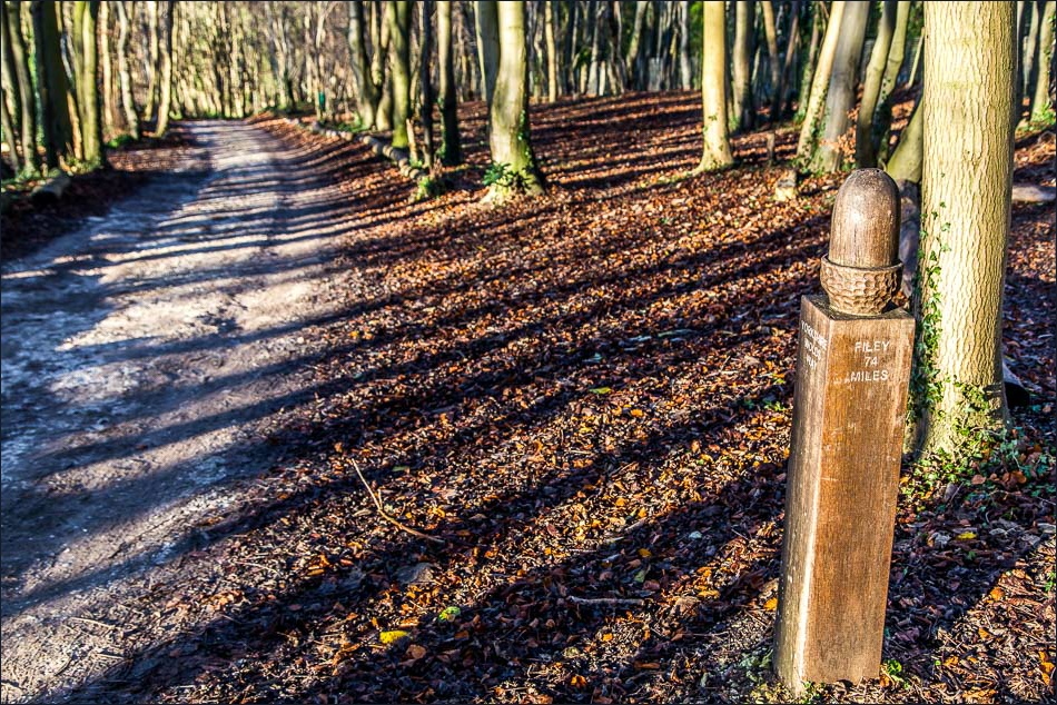
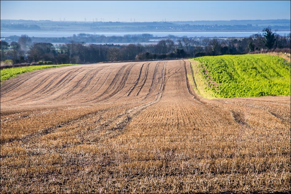
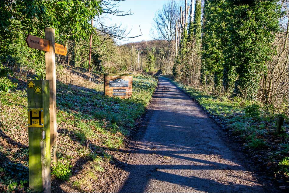
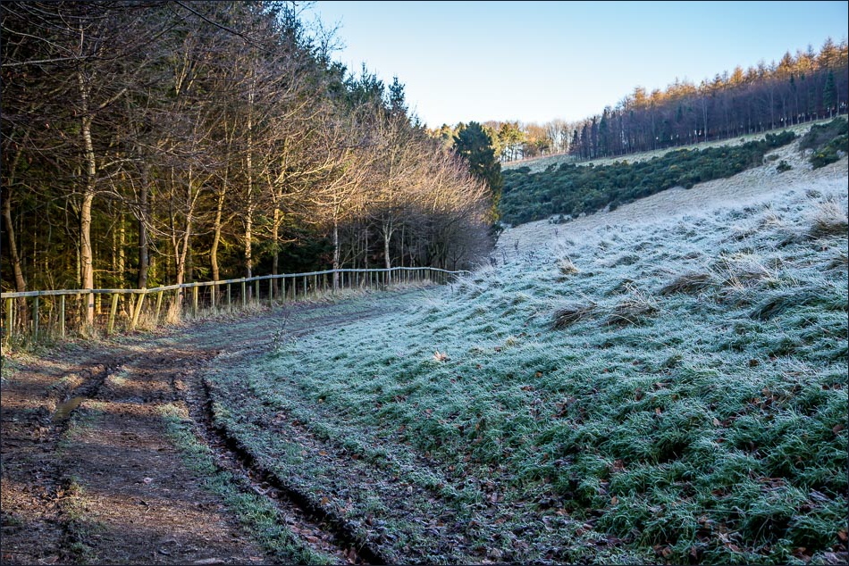
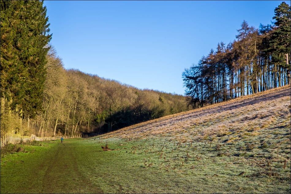
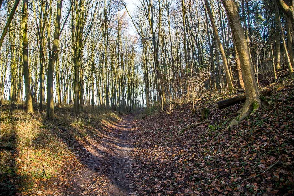
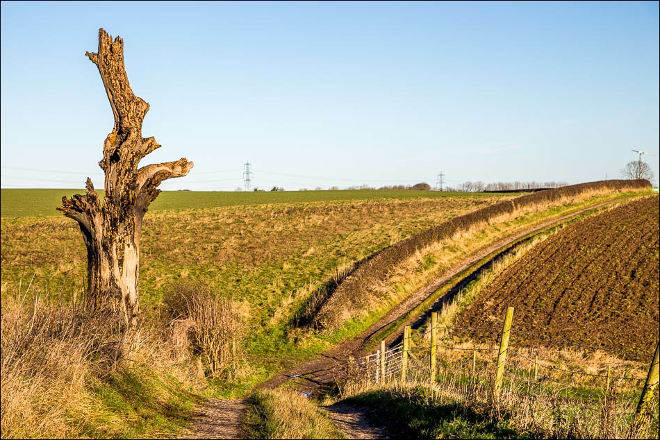
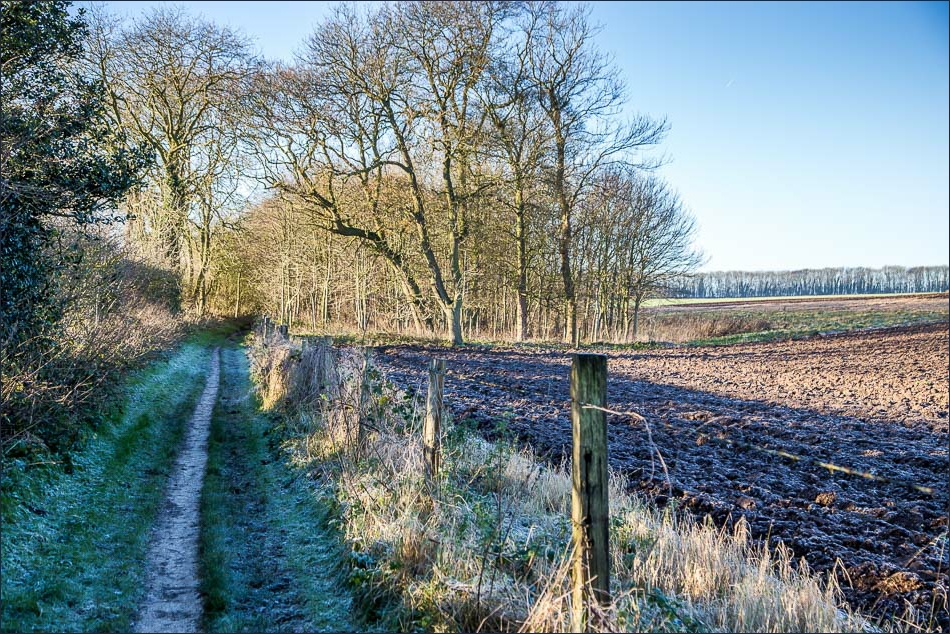
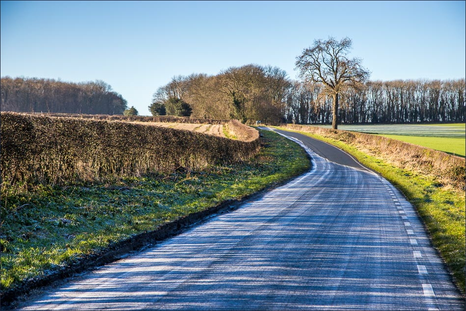
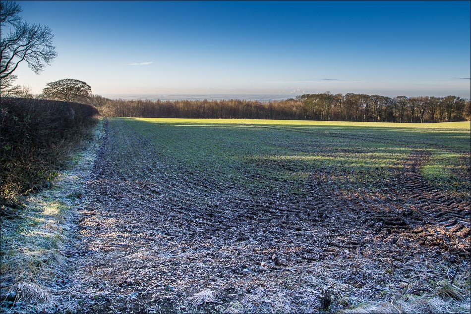
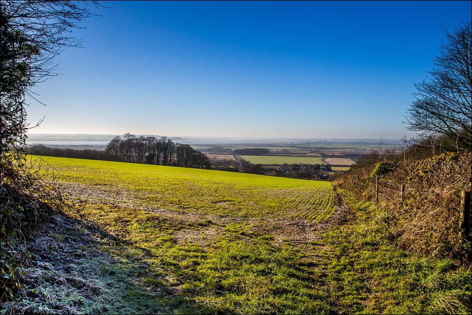
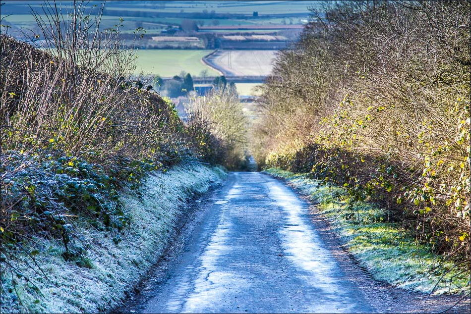
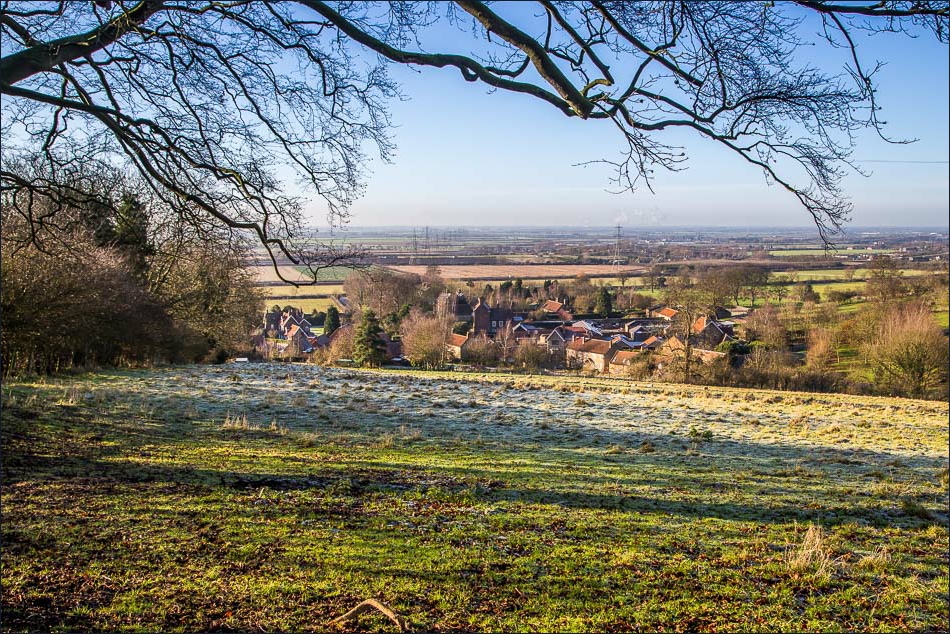
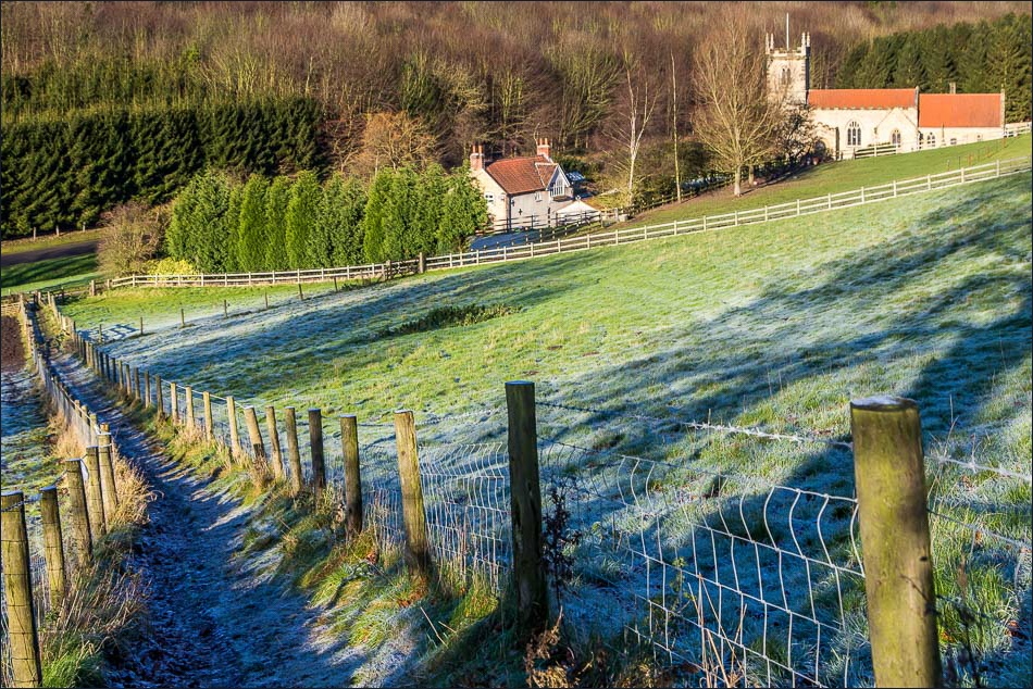
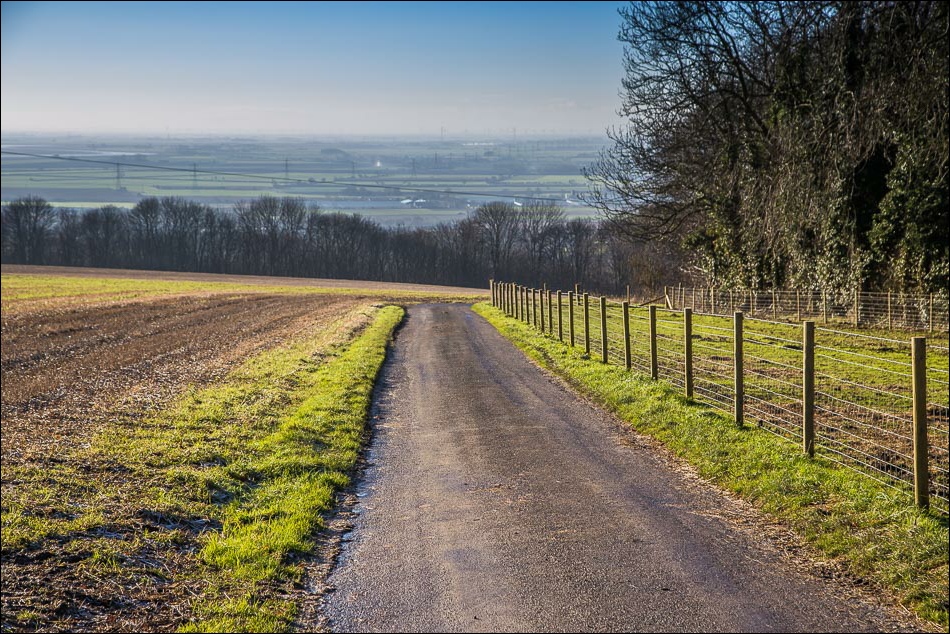
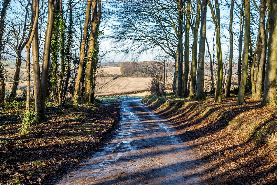
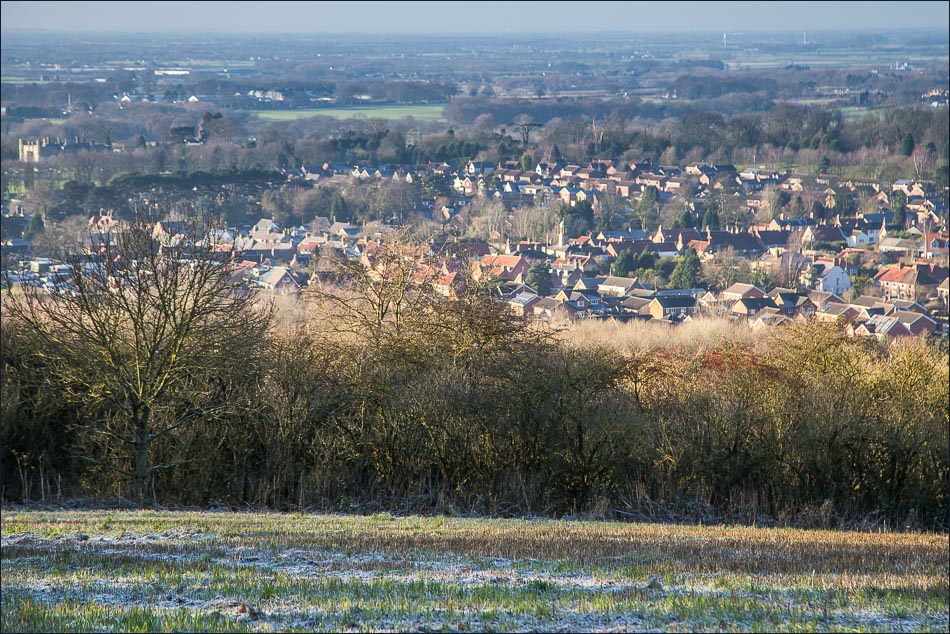
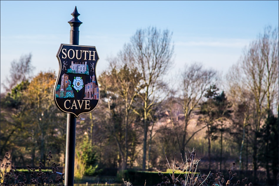
After crossing the bridge over the road I walked uphill and down dale through some lovely rolling countryside, eventually arriving in South Cave at lunchtime. The Wolds Way is superbly waymarked along its whole length and navigation is not an issue
It was a fantastic walk in perfect weather
Follow the links to see: Stage 2 Stage 3 Stage 4 Stage 5 Stage 6 Stage 7
Click on the icon below for the route map (subscribers to OS Maps can view detailed maps of the route, visualise it in aerial 3D, and download the GPX file. Non-subscribers will see a base map)
Scroll down – or click on any photo to enlarge it and you can then view as a slideshow
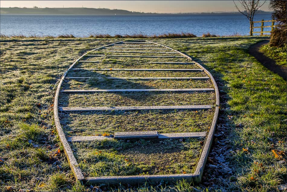
Monument to the North Ferriby boats found nearby in 1937 and which are believed to be 4,000 years old
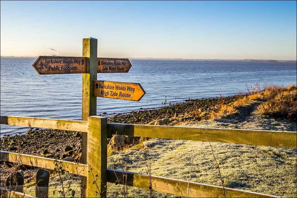
I followed the low tide route which was fine at first but further along it became very muddy so I headed inland into North Ferriby
