Route: Eildon Hills
Area: Scottish Borders
Date of walk: 1st May 2018
Walkers: Andrew and Gilly
Distance: 7.4 miles
Ascent: 2,000 feet
Weather: Sunny, gale force wind on the tops
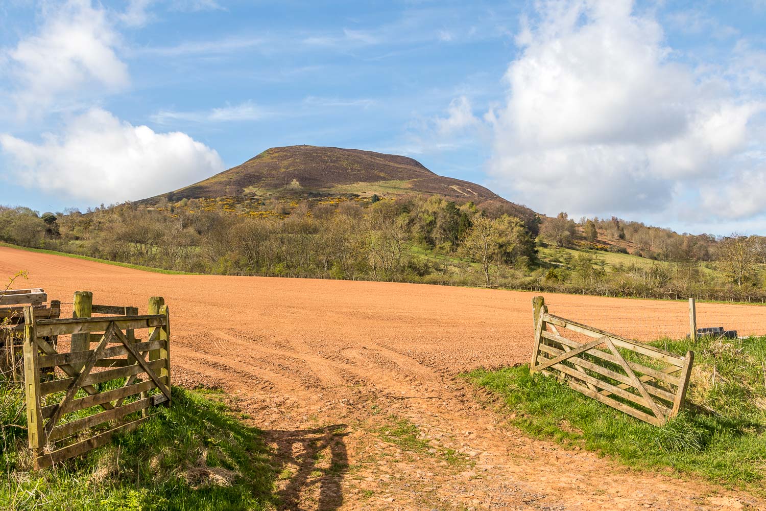
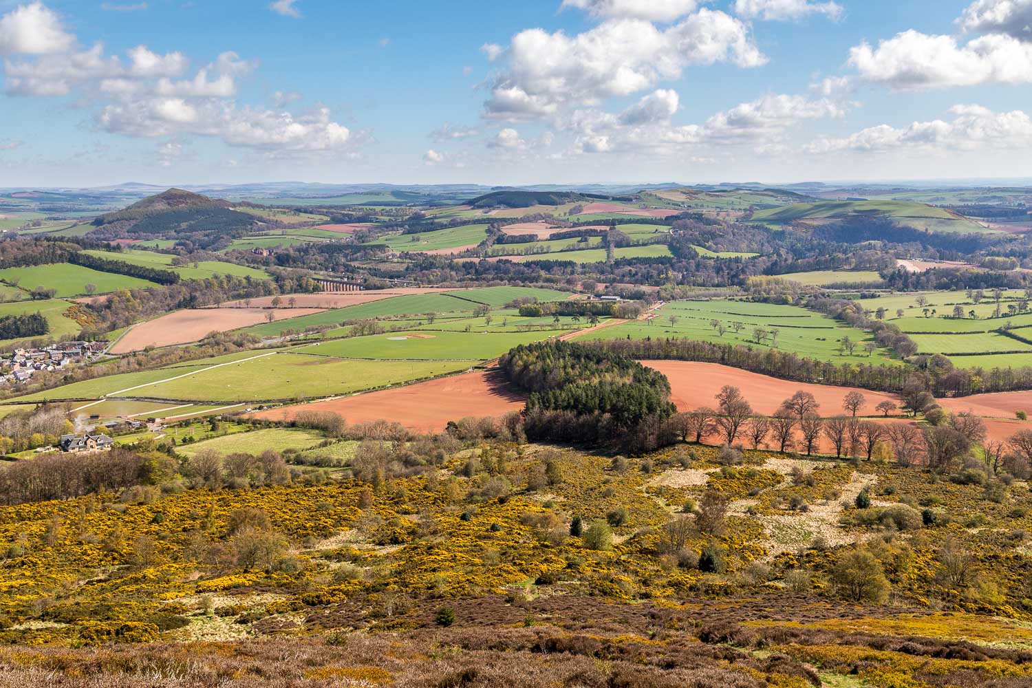
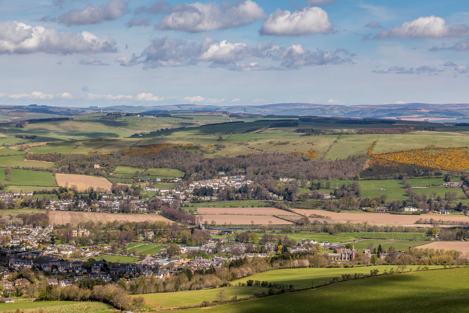
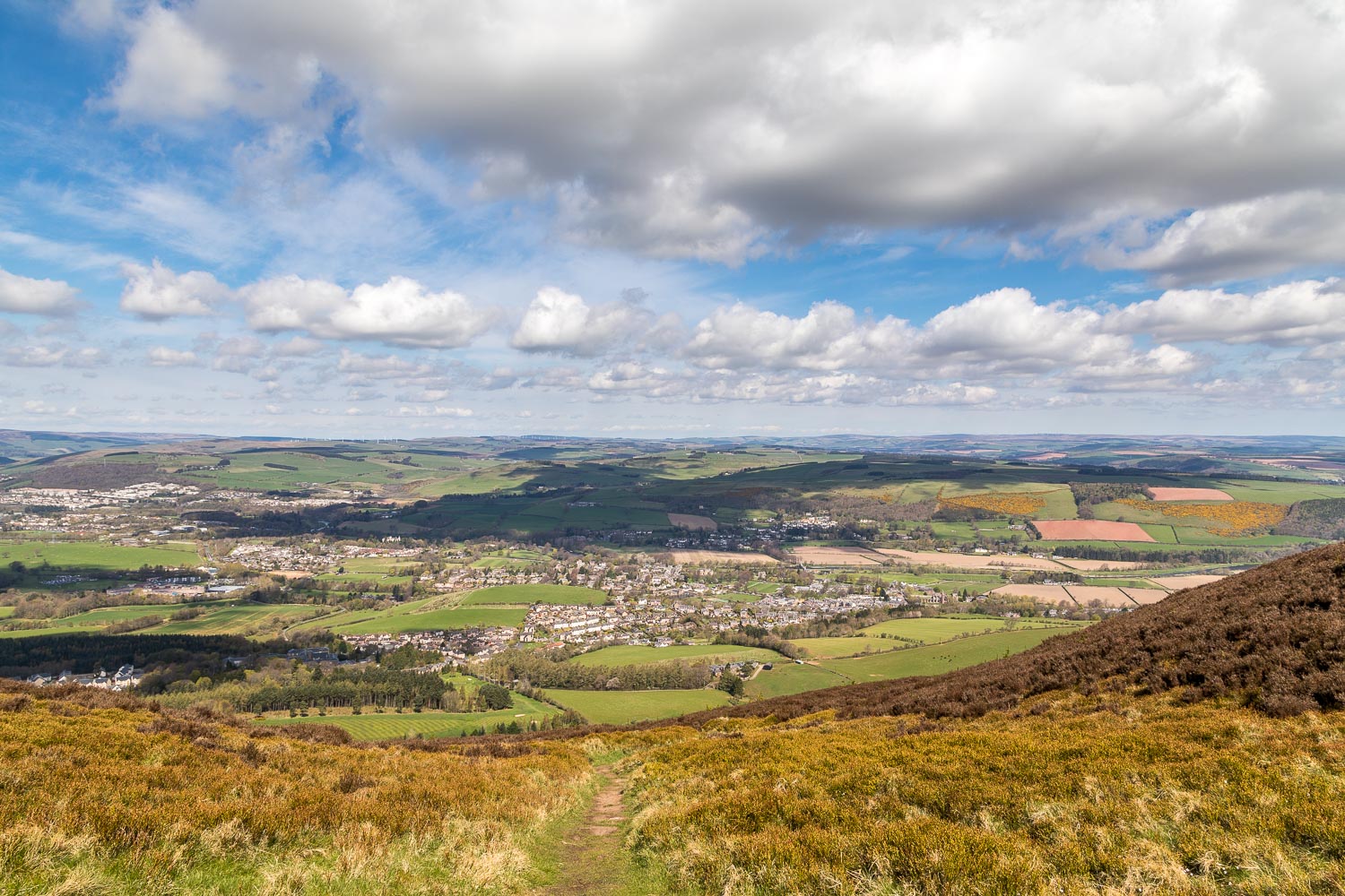
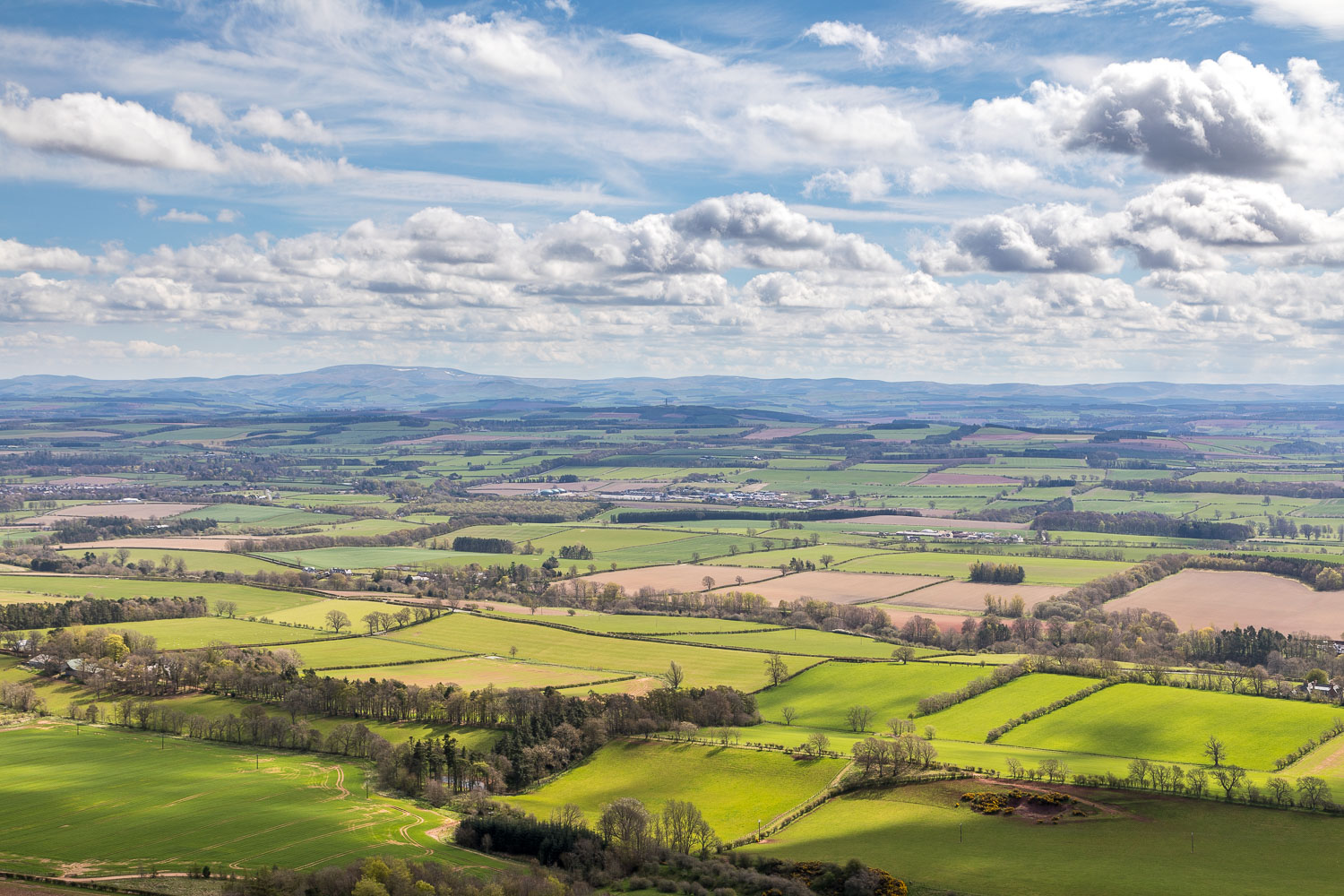
In the gently rolling countryside of the Scottish Borders, the Eildon Hills are prominent landmarks and can be seen from miles around. It follows that the views from the top of them will be equally far ranging
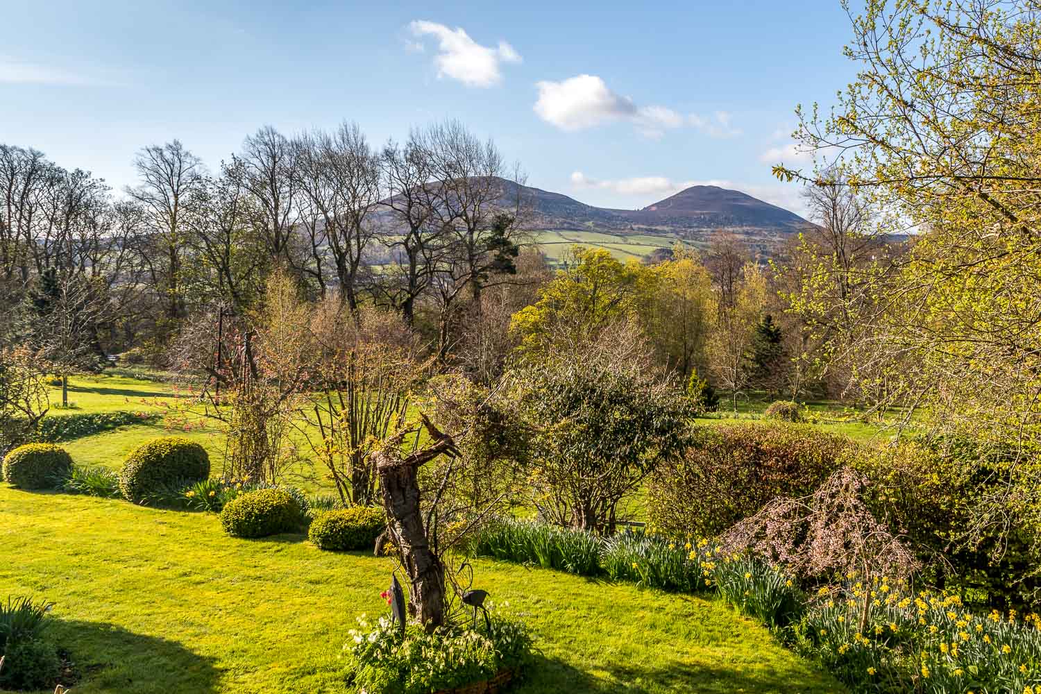
We were staying at the excellent and highly recommended Fauhope Country House and had a clear view of the hills from our bedroom window. As we opened the curtains this morning to sun and blue skies today and gazed across to the hills, they seemed to be inviting us to climb them and we were happy to accept the invitation
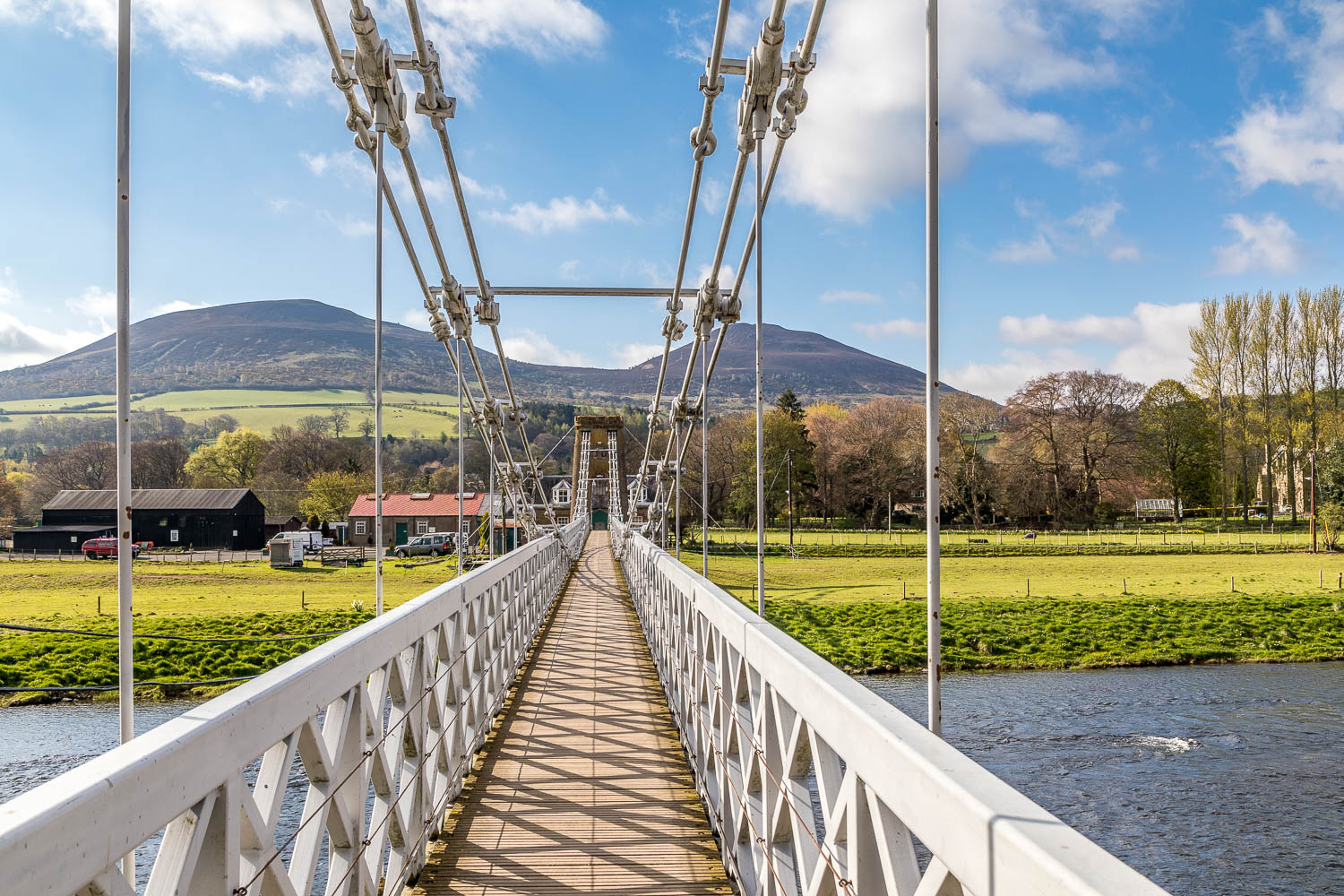
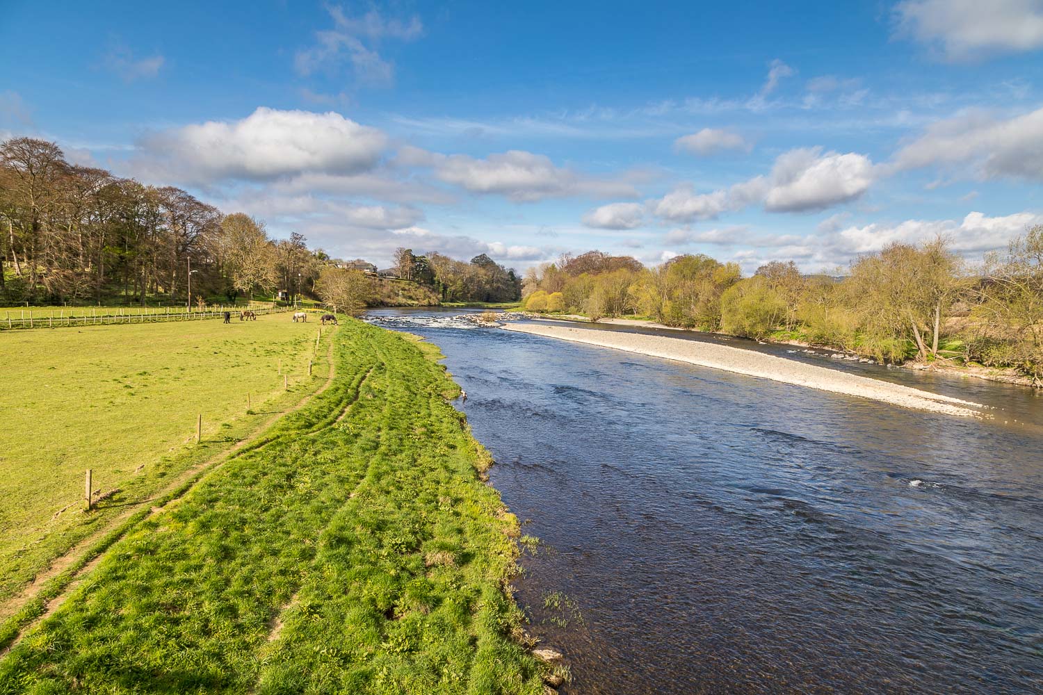
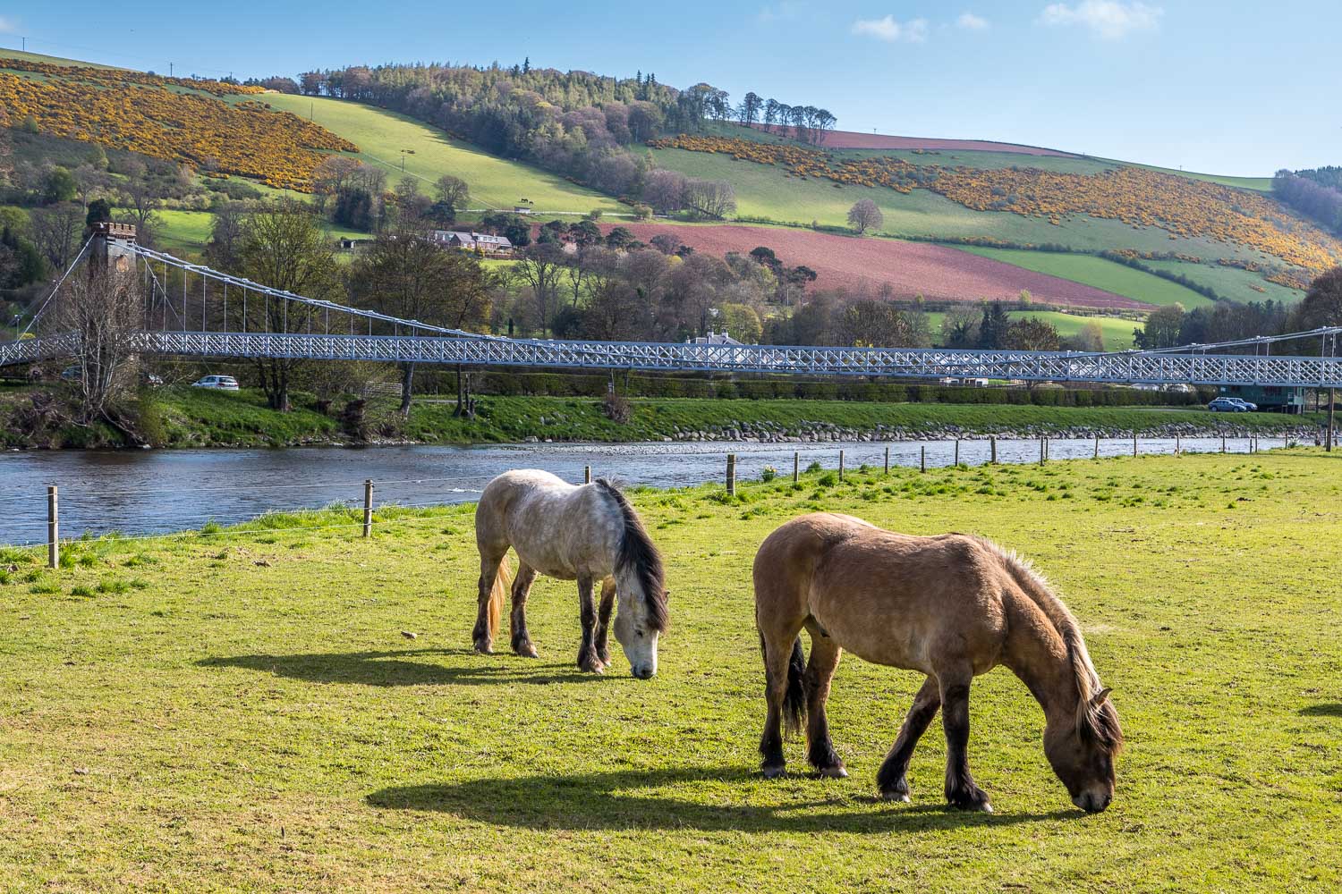
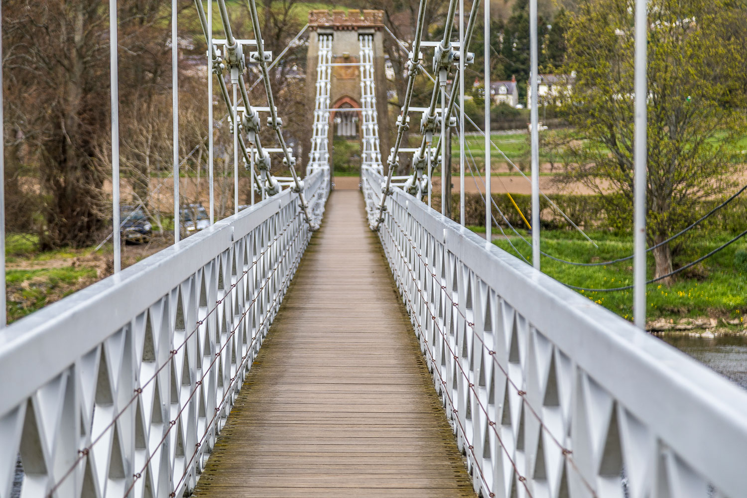
One delicious full Scottish breakfast later we parked the car by the Chain Bridge, as we’d done at the start of yesterday’s walk. The route is normally started a little closer in Melrose, but the local road bridge is closed for repair so it was just as quick for us to walk over the River Tweed via the old footbridge
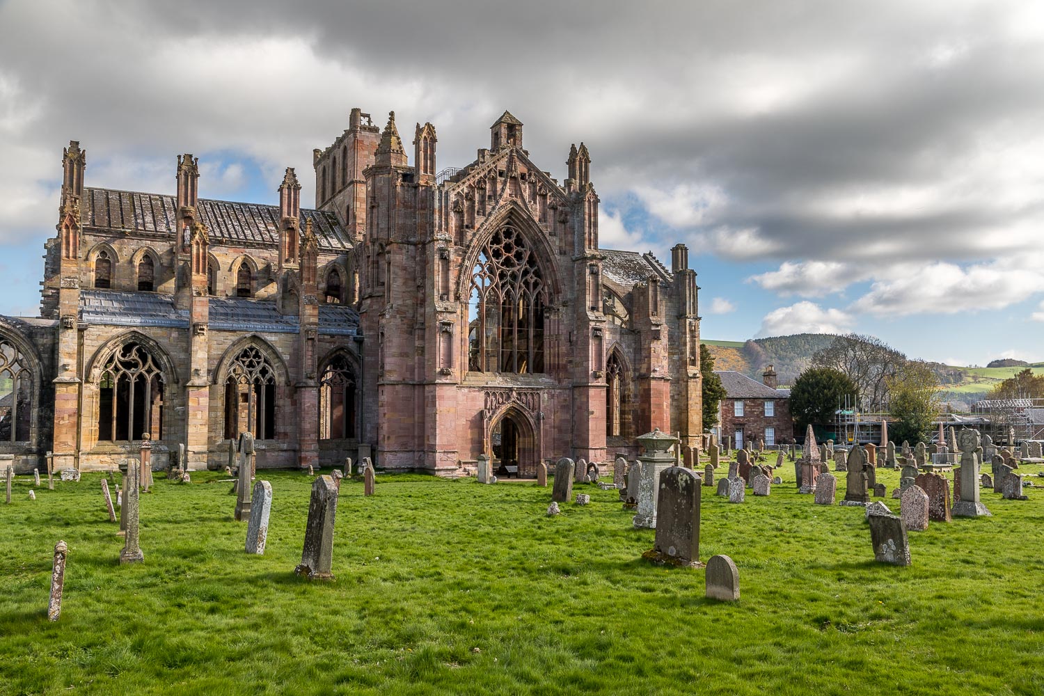
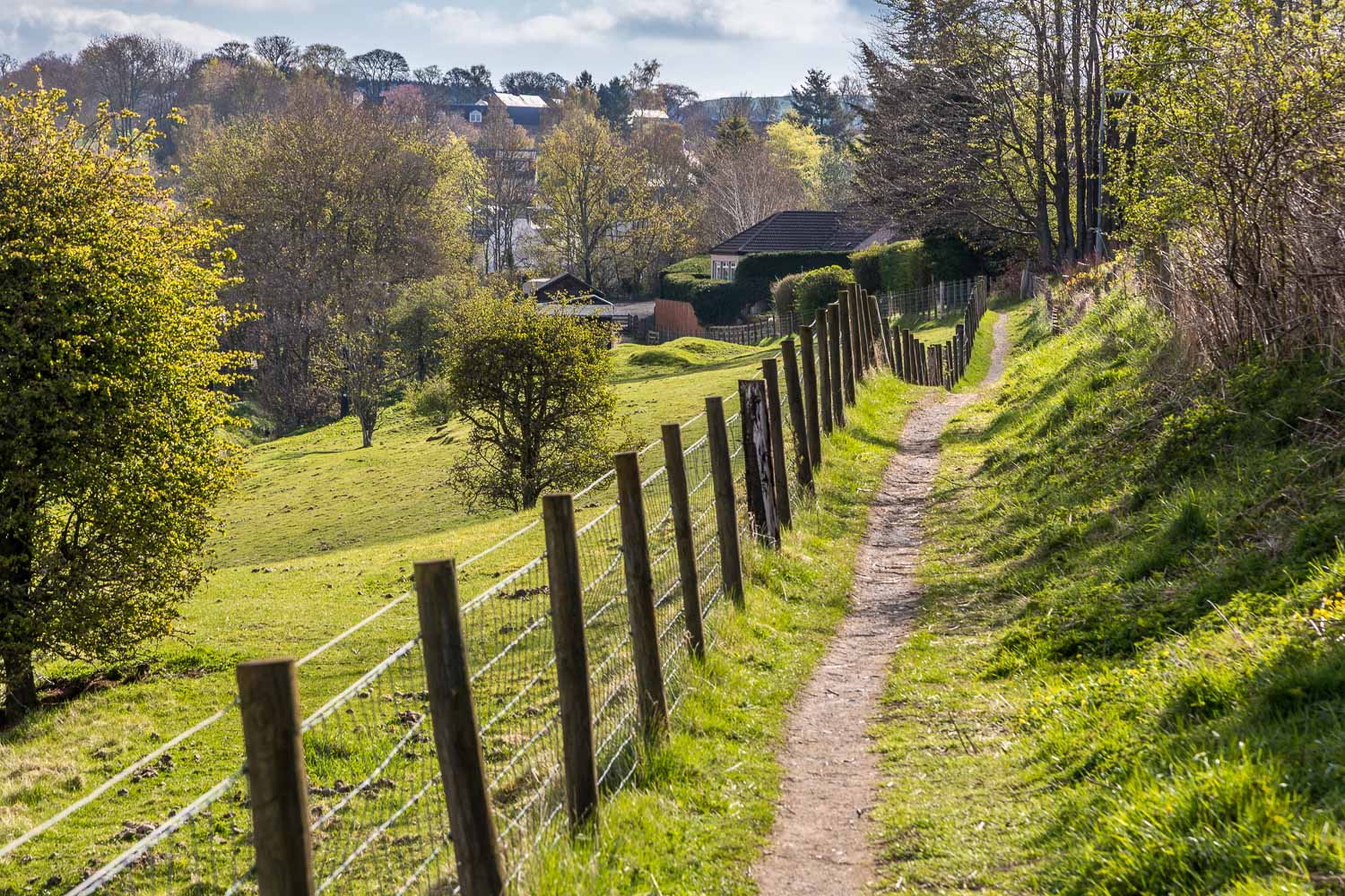
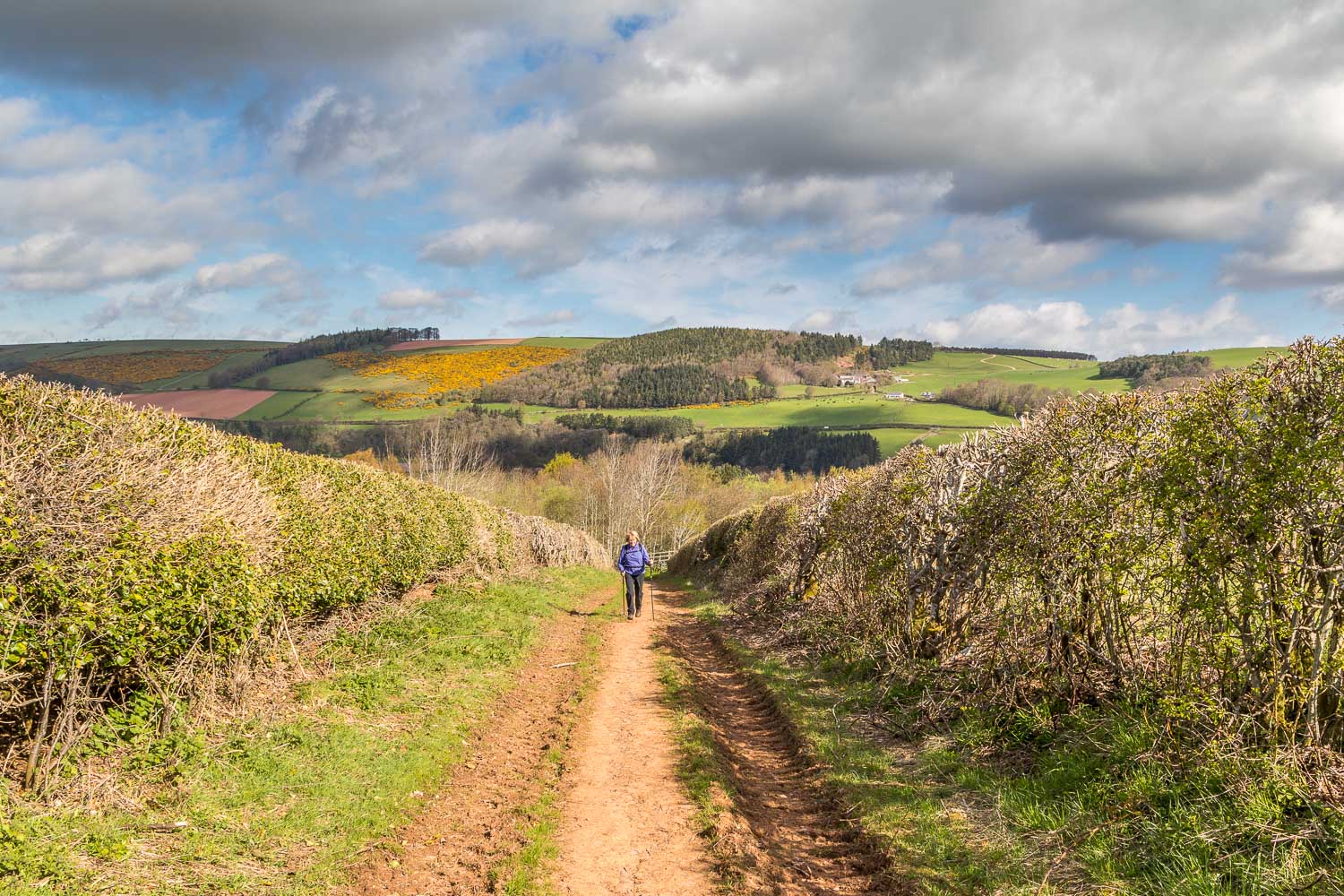
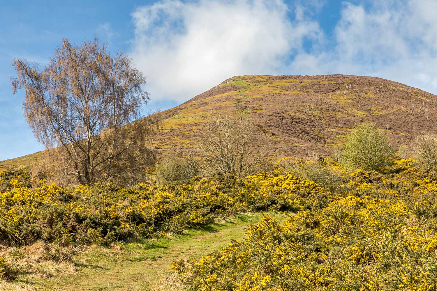
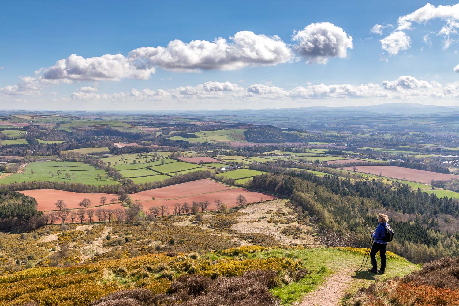
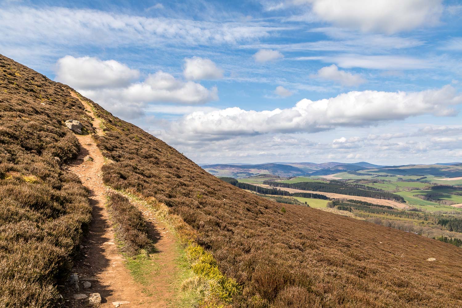
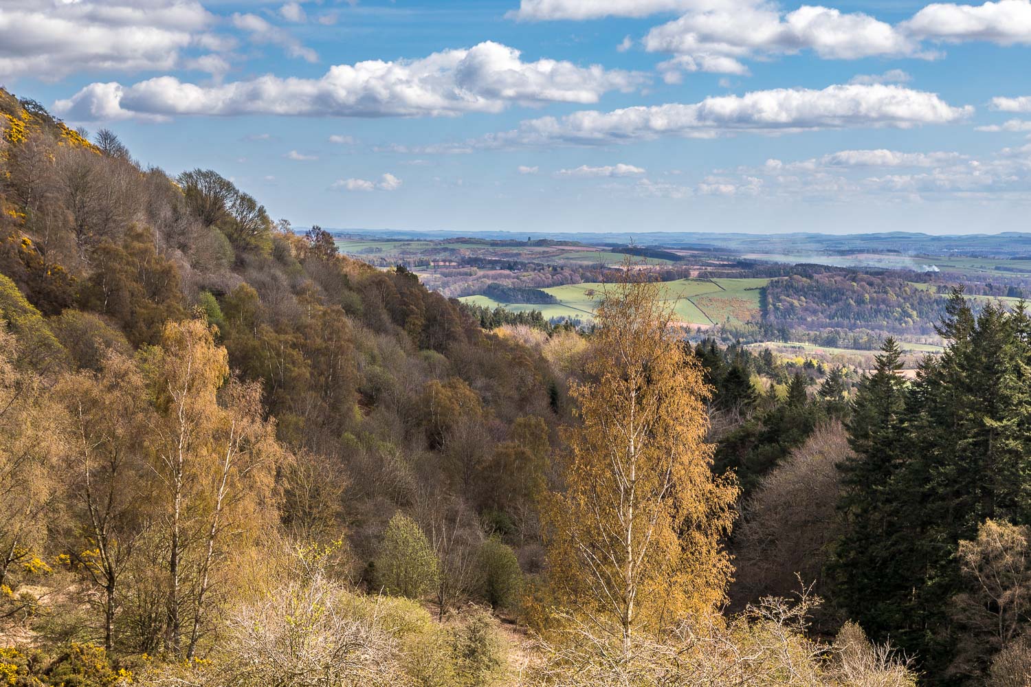
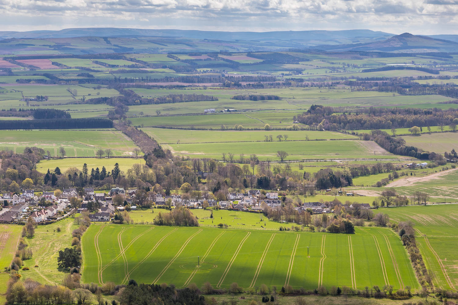
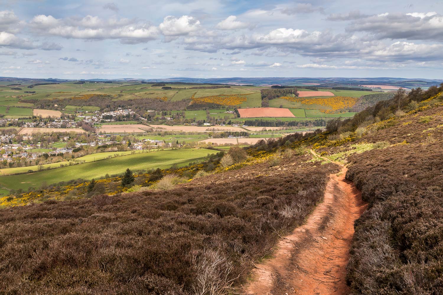
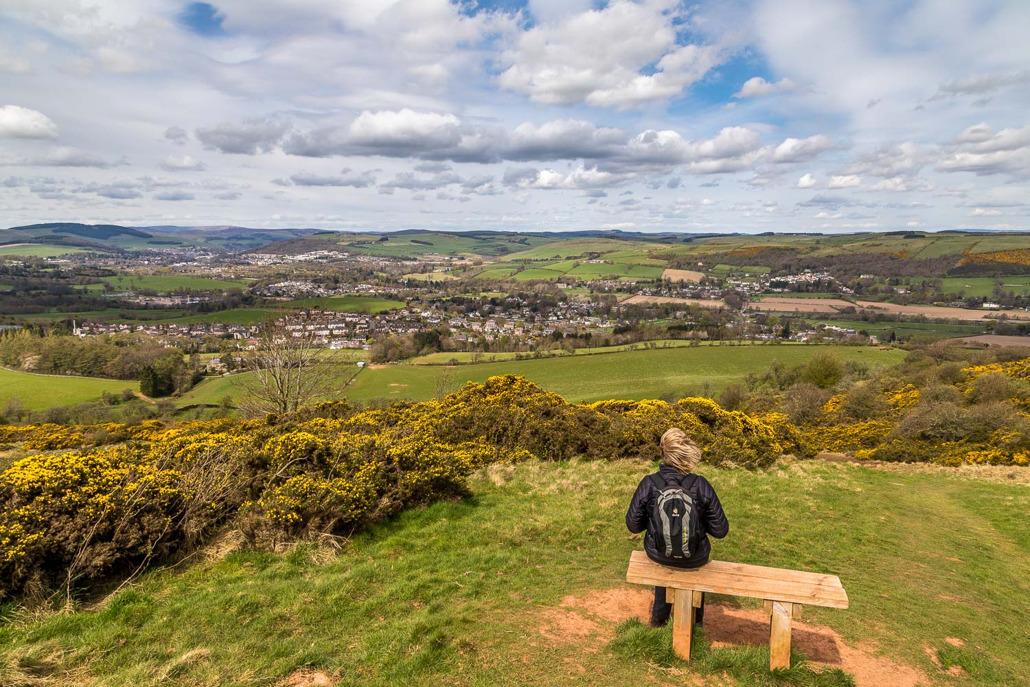
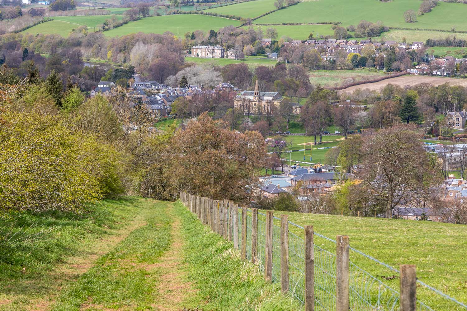
We passed by Melrose Abbey and headed east out of the town, turning off at Newstead to start the climb. It was easy going as we passed through farmland onto open hillside, with ever improving views. The final section was steeper and looser than what had gone before but there were no difficulties and we were soon enjoying huge views in all directions over the surrounding countryside. Unfortunately it was blowing a gale – standing up straight and holding the camera steady both needed concentration
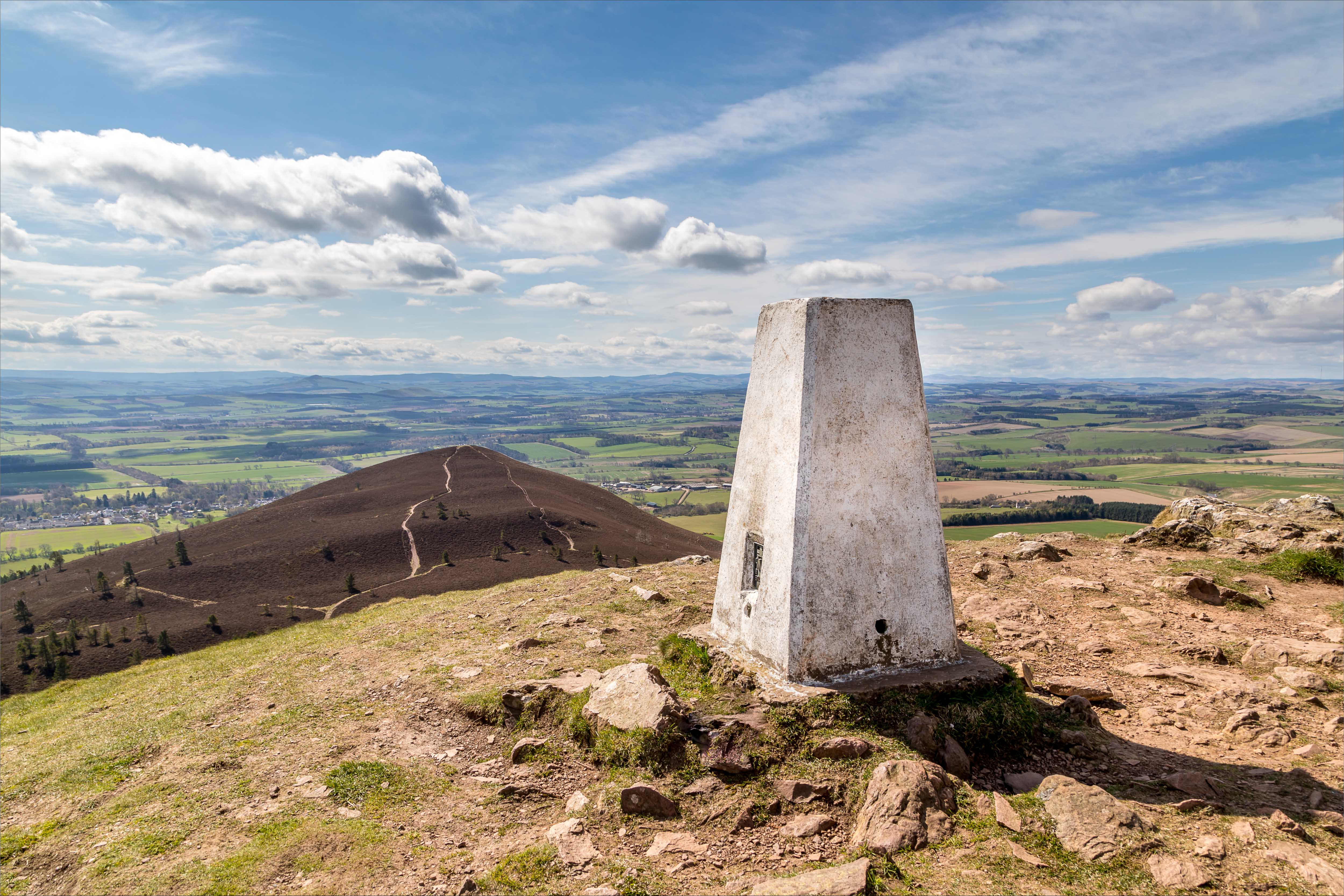
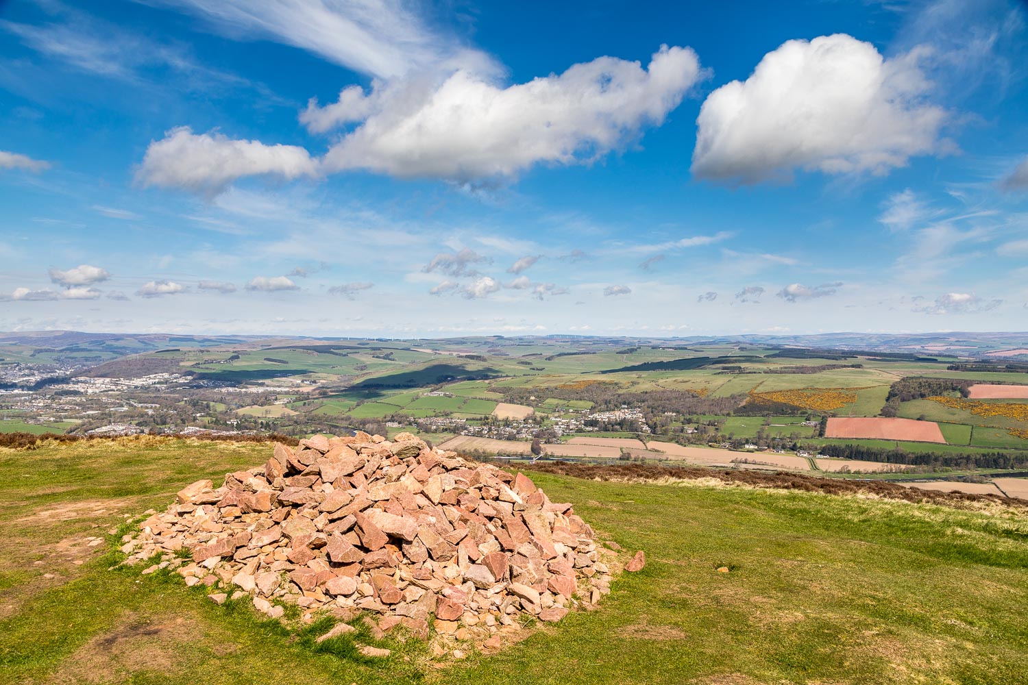
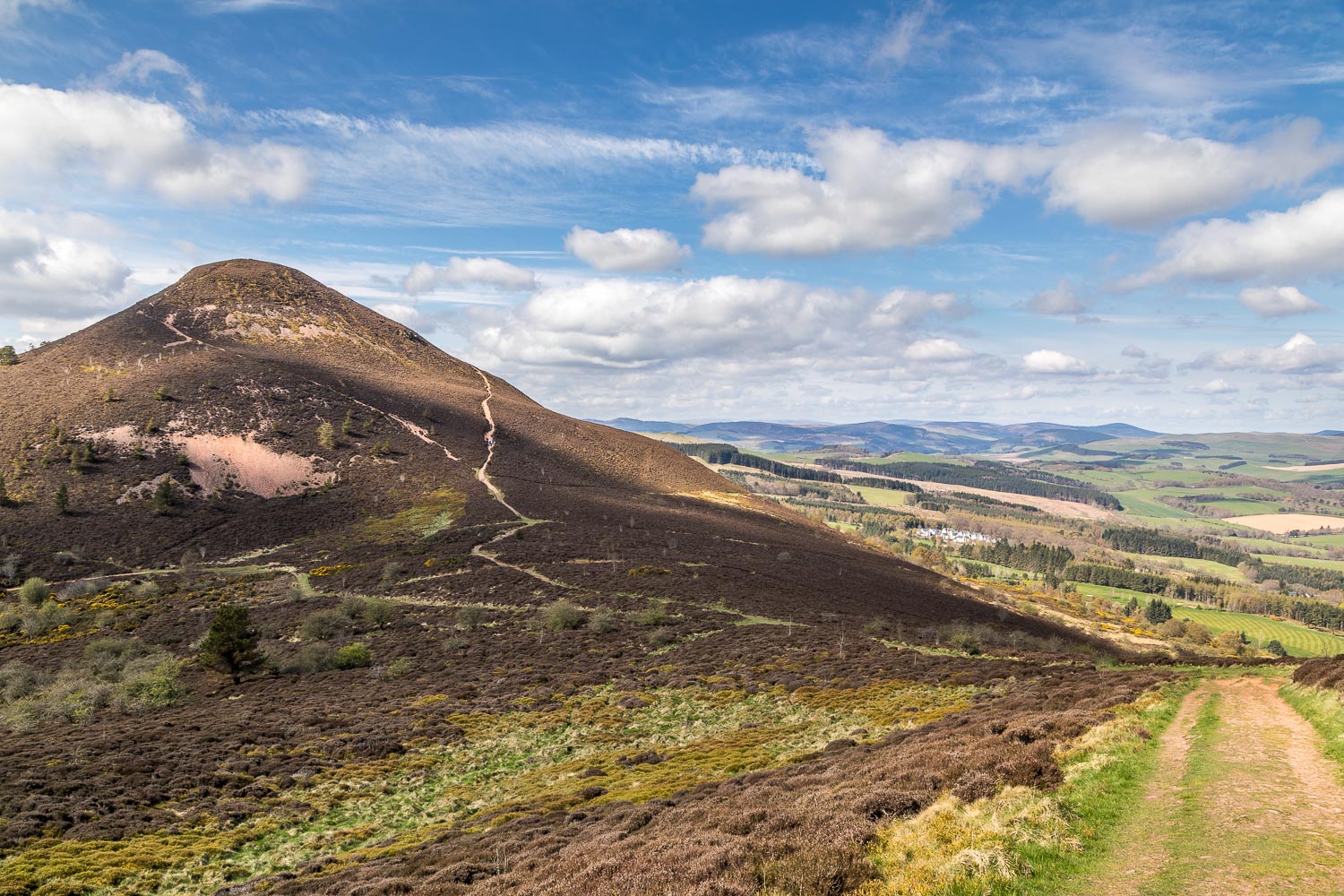
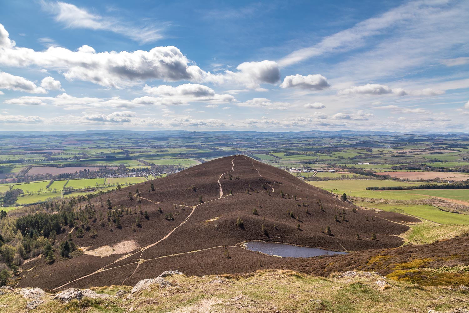
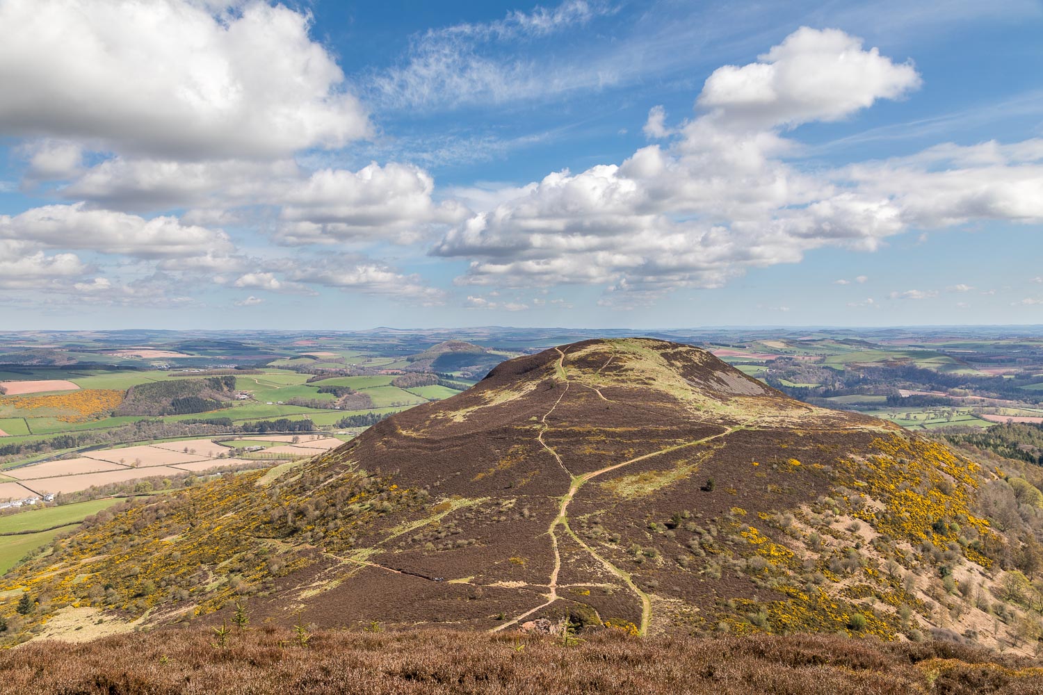
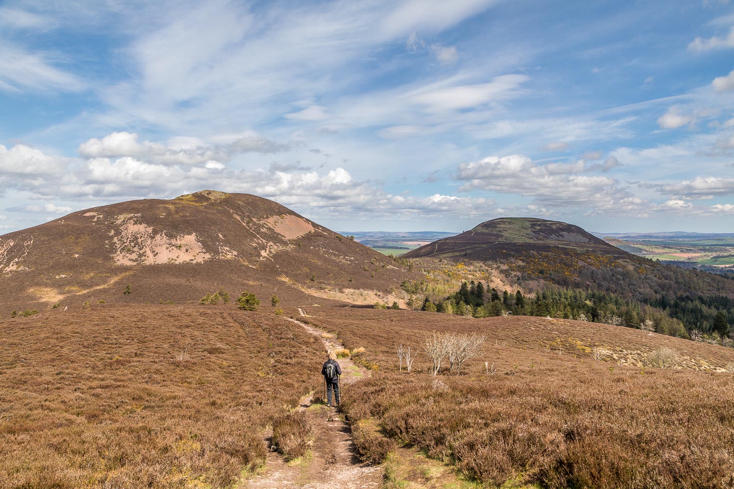
Without ado we descended to The Saddle, which is a col between Eildon Hill North and our next target, Eildon Mid Hill, the highest of the trio. The climb was again quite steep and loose but without problems and we were soon at the top enjoying another spectacular panorama. The high winds caused us to descend without lingering long, so we made our way down to The Saddle again for the ‘there and back’ walk to the final and lowest hill – Eildon Wester Hill
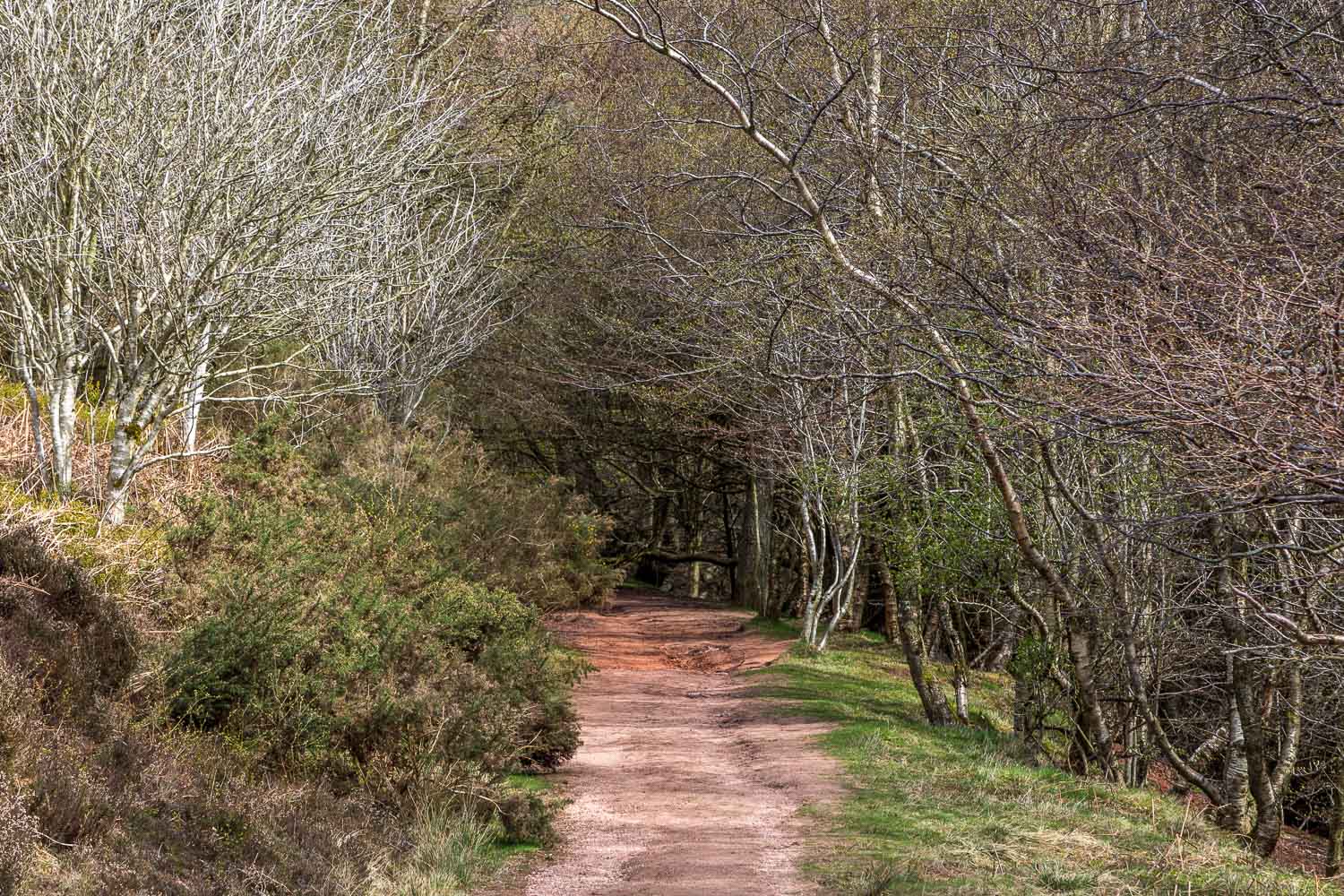
Having reached the top we retraced our steps, passing by The Saddle again, before joining St Cuthbert’s Way. This well signposted path took us back into Melrose and from here it was a short stroll back to the start. It had been a wonderful walk and we felt fortunate to have enjoyed it in such favourable weather
Click on the icon below for the route map (subscribers to OS Maps can view detailed maps of the route, visualise it in aerial 3D, and download the GPX file. Non-subscribers will see a base map)
Scroll down – or click on any photo to enlarge it and you can then view as a slideshow
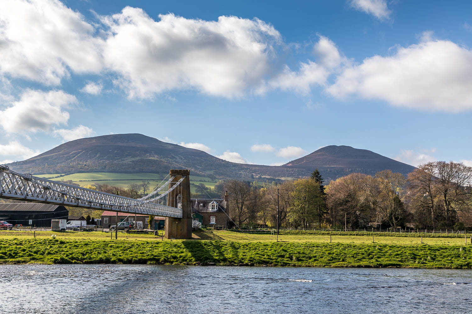
A few minutes later, the same hills seen at the start of the walk from the Chain Bridge over the River Tweed
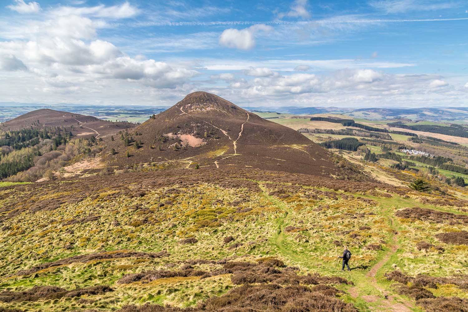
A gale force wind meant that we couldn't linger up there so we set off without ado for the next hill, Eildon Mid Hill, the highest of the trio
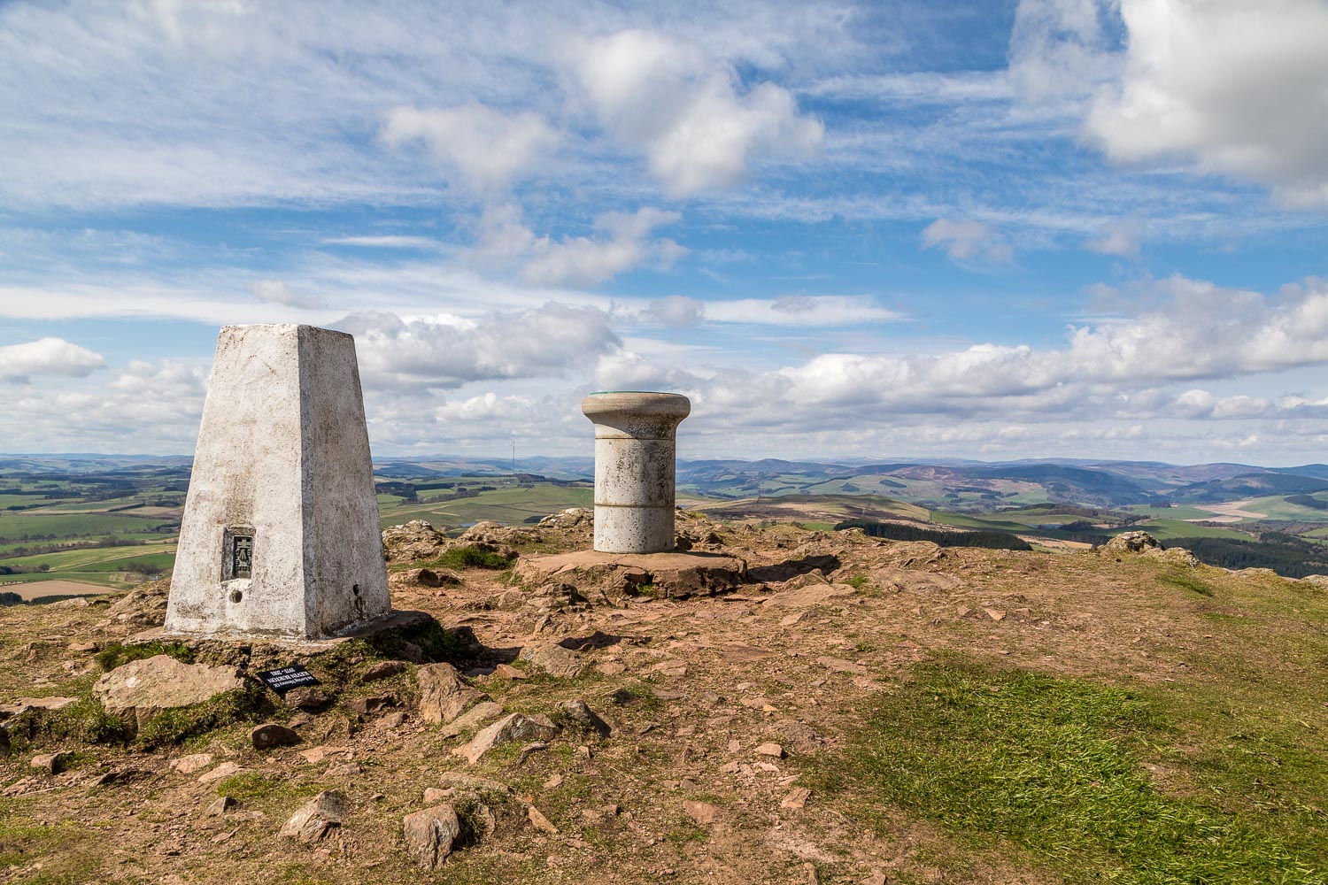
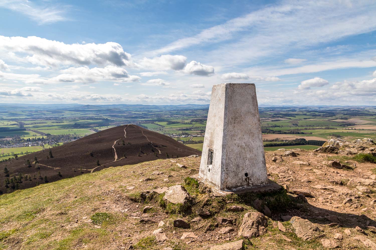
The trig point and the granite pillar, erected in 1927, and bearing a view indicator. It was blowing a gale here and it was not the time to linger and study the view properly
