Route: Loweswater
Area: Western Lake District
Date of walk: 15th March 2013
Walkers: Andrew and Gilly
Distance: 5.8 miles
Ascent: 800 feet
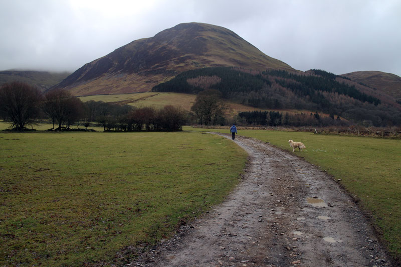
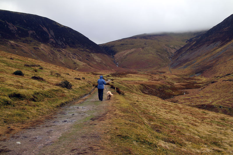
It had been raining all morning but started to clear by mid-afternoon, so we decided on a local low level walk. We drove to Loweswater and parked at Maggies Bridge.
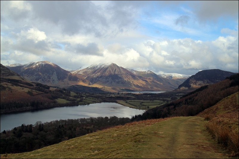
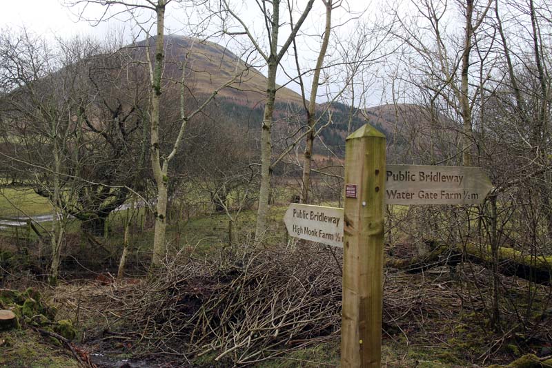
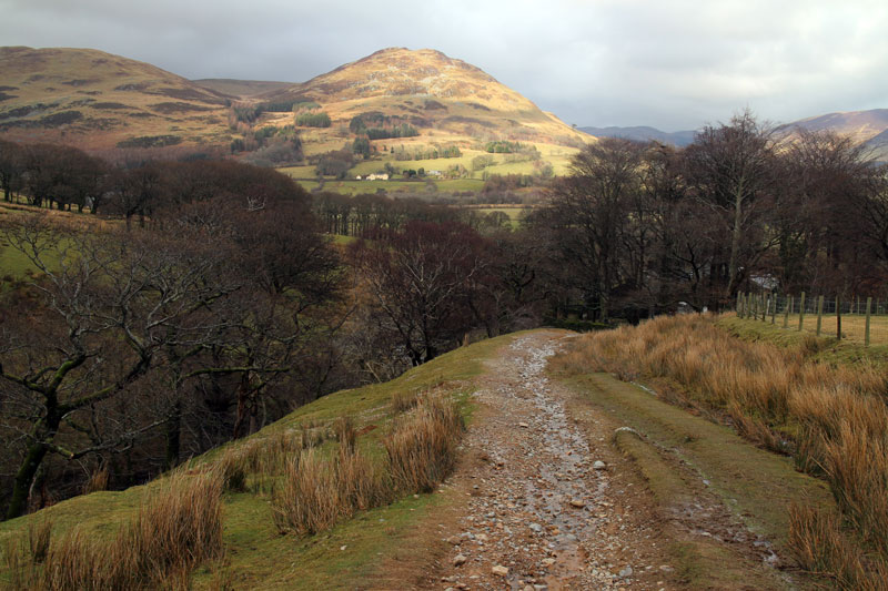
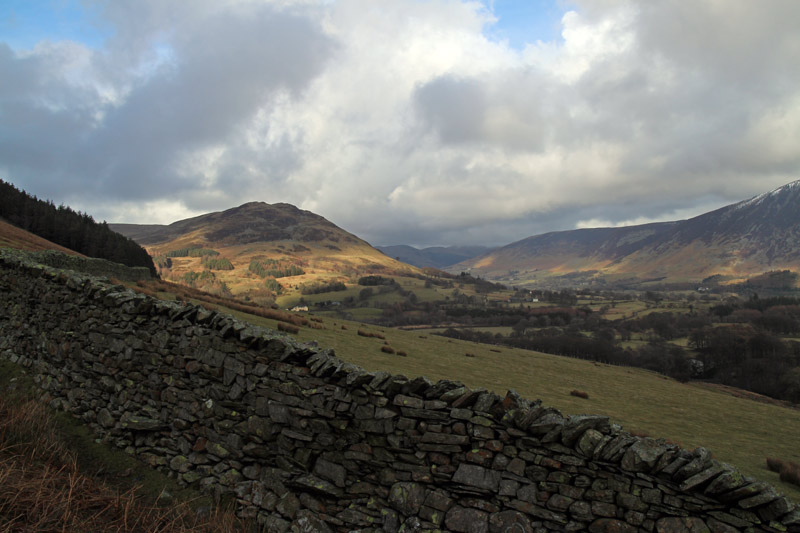
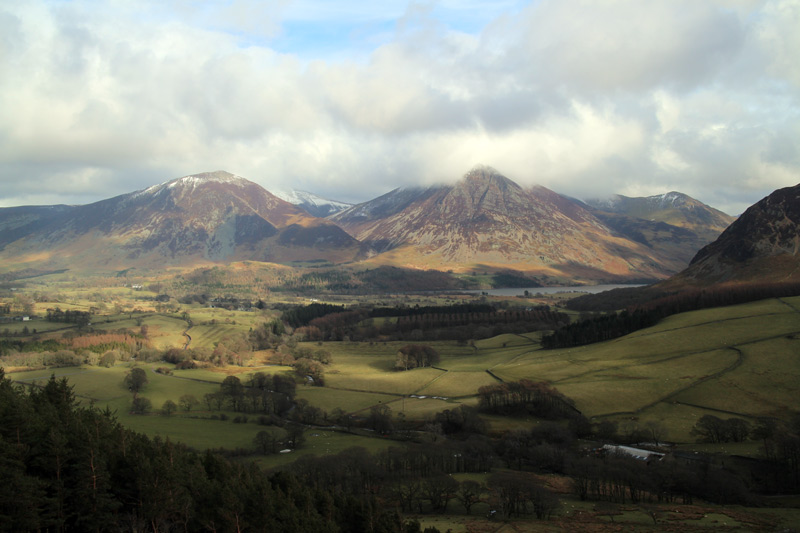
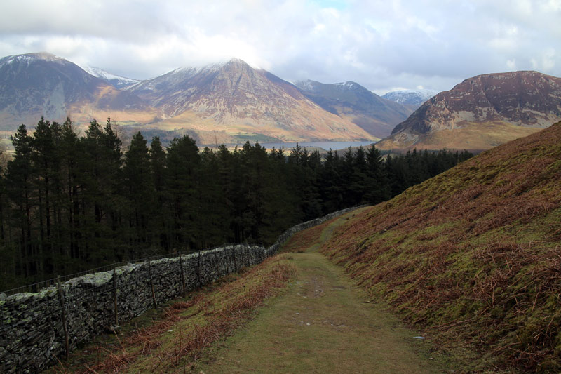
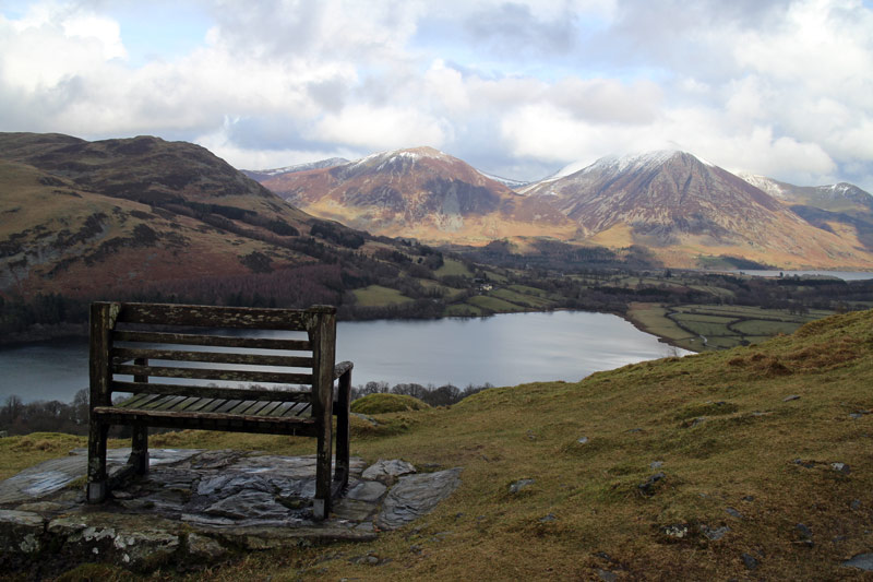
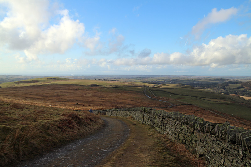
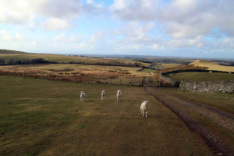
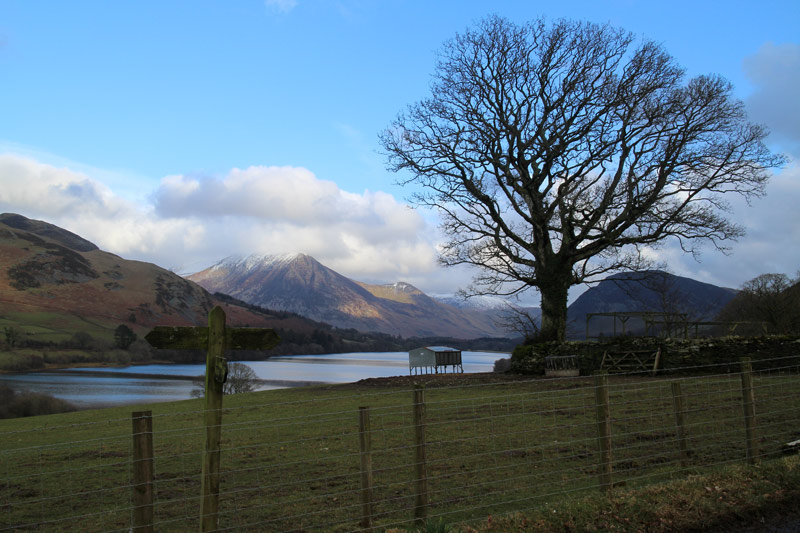
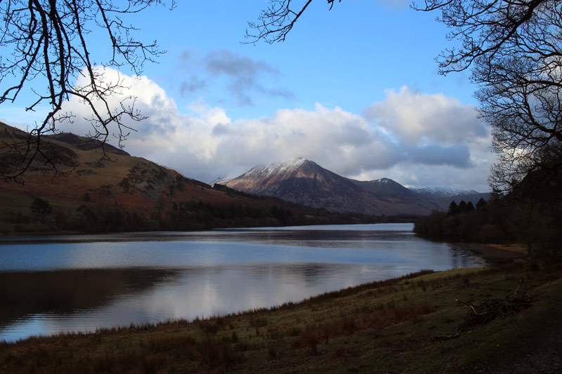
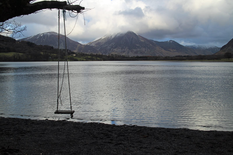
We then took the path through High Nook Farm and up along the top of Holme Wood. The weather improved as we went along (in stark contrast to yesterday’s walk) and we had great views of the Solway Firth looking forward and Grasmoor and Whiteside looking back.
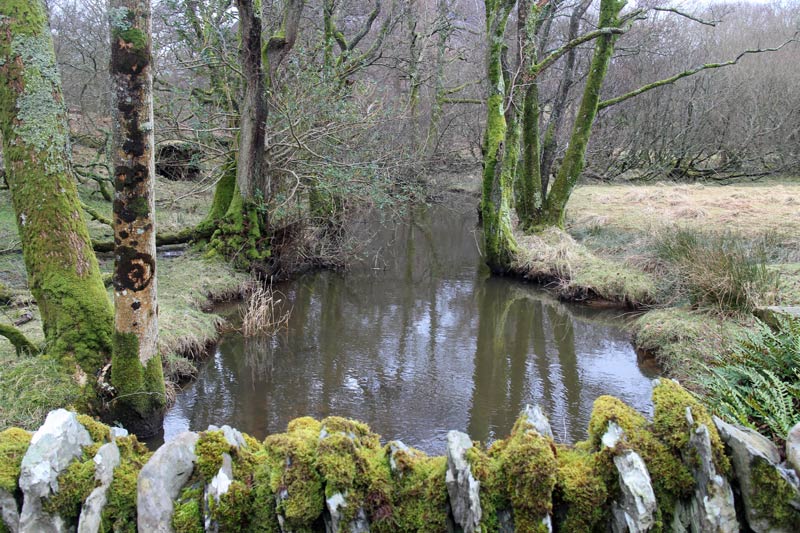
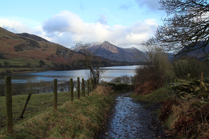
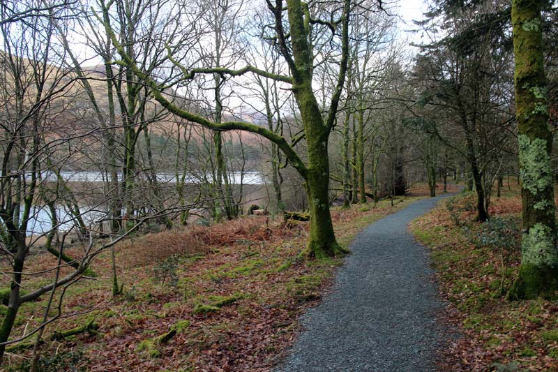
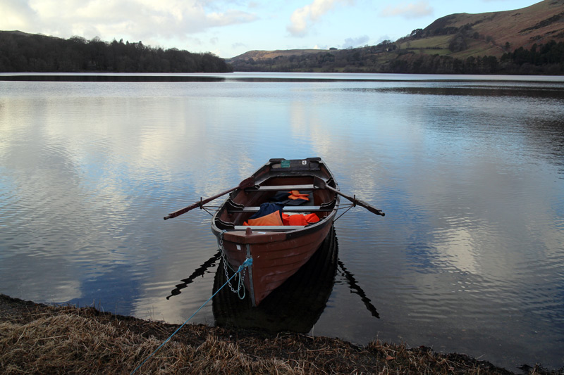
The path then took us through Holme Wood and along the shore of Loweswater back to Maggies Bridge.
We’ve done this walk several times before and never tire of it – it was a wonderful couple of hours
For other walks here, visit my Find Walks page and enter the name in the ‘Search site’ box
Click on the icon below for the route map (subscribers to OS Maps can view detailed maps of the route, visualise it in aerial 3D, and download the GPX file. Non-subscribers will see a base map)
Scroll down – or click on any photo to enlarge it and you can then view as a slideshow
