Route: Lanthwaite Hill and Crummock Water
Area: Western Lake District
Date of walk: 1st August 2014
Walkers: Andrew and Gilly
Distance: 2.1 miles
Weather: low cloud , drizzle most of the time
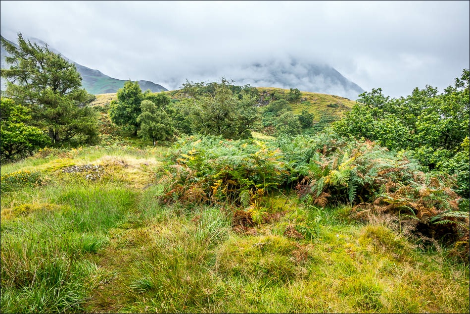
The weather was miserable today and we waited in vain for conditions to improve. My mid afternoon there was a slight change for the better but only in that the rain turned to light drizzle. This was all we needed as a spur to go on one of our favourite short local walks, which is lovely at any time of the year and in any weather
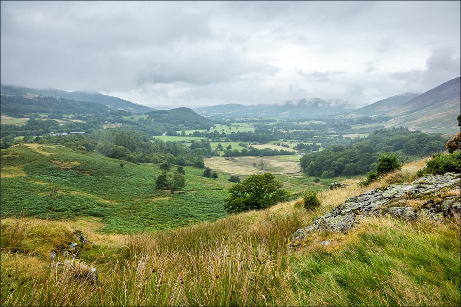
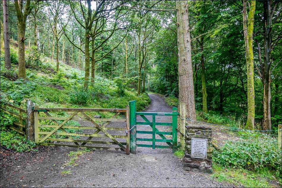
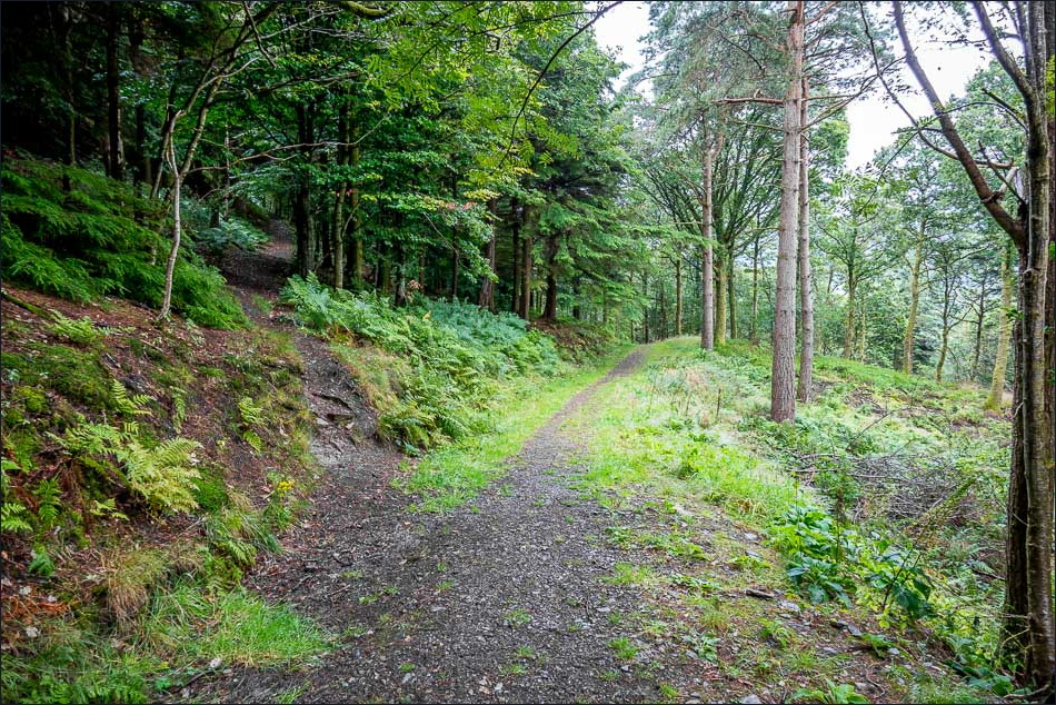
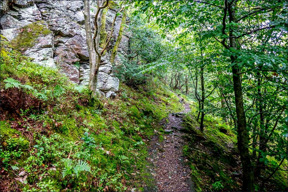
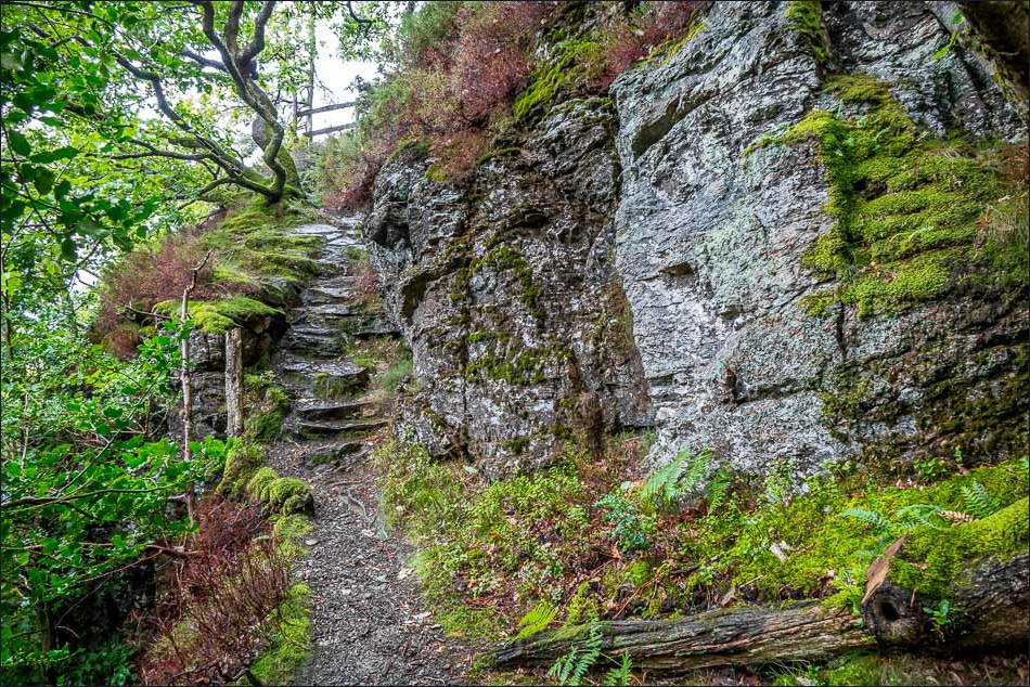
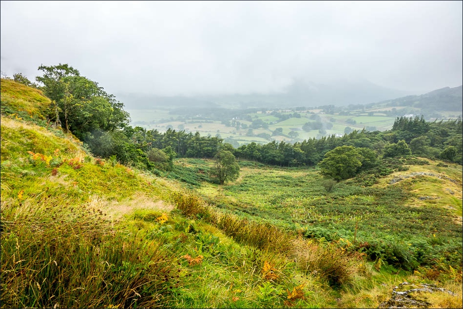
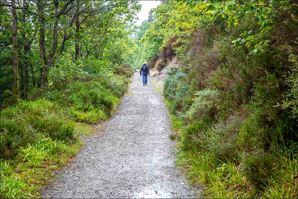
We parked in the National Trust car park at Scale Hill but instead of following the main path to Crummock Water we turned uphill along a steep and narrow path to Lanthwaite Hill (shown as Brackenthwaite Hows on the OS map)
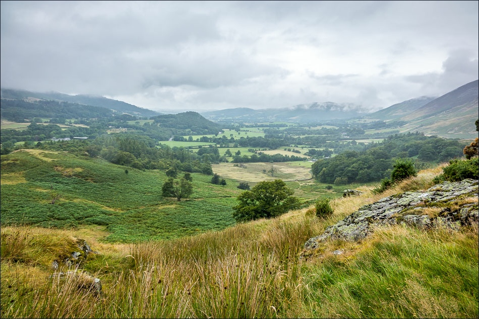
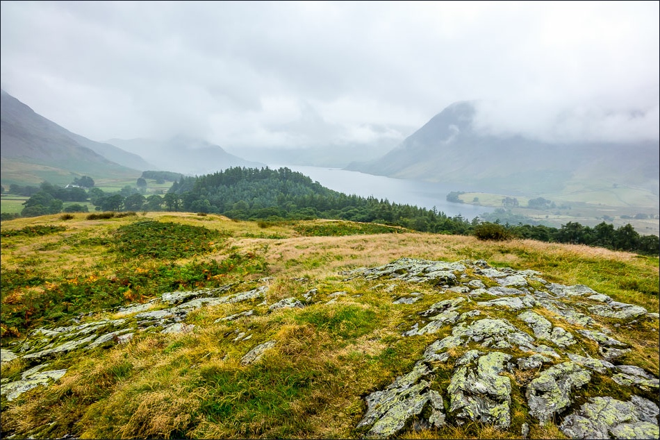
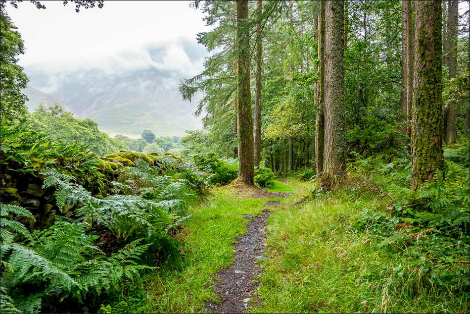
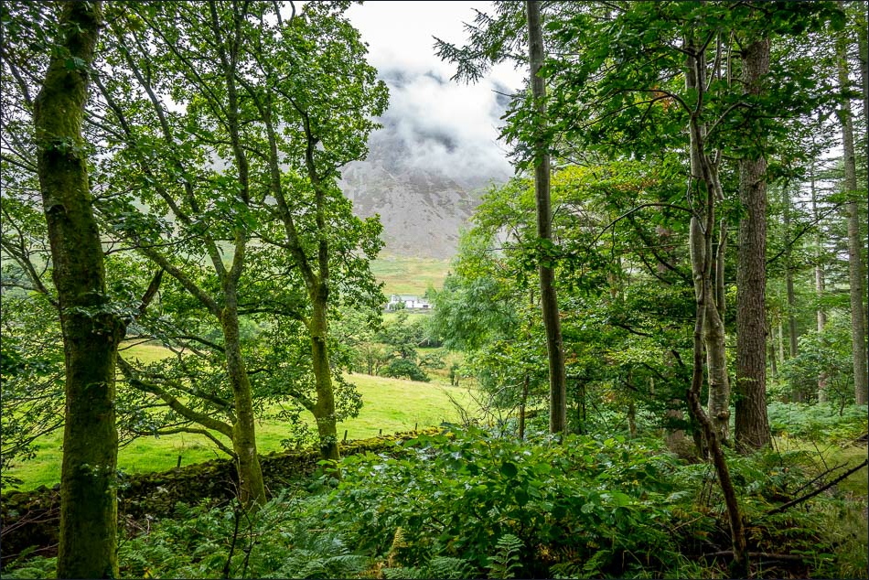
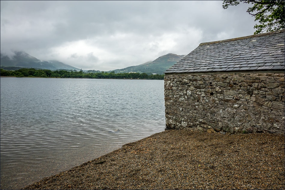
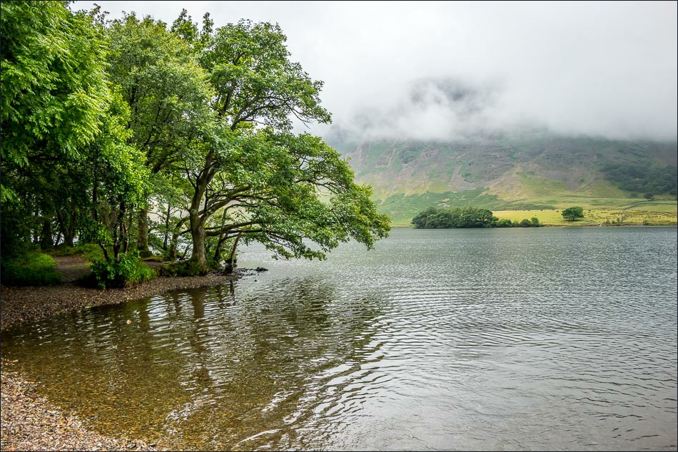
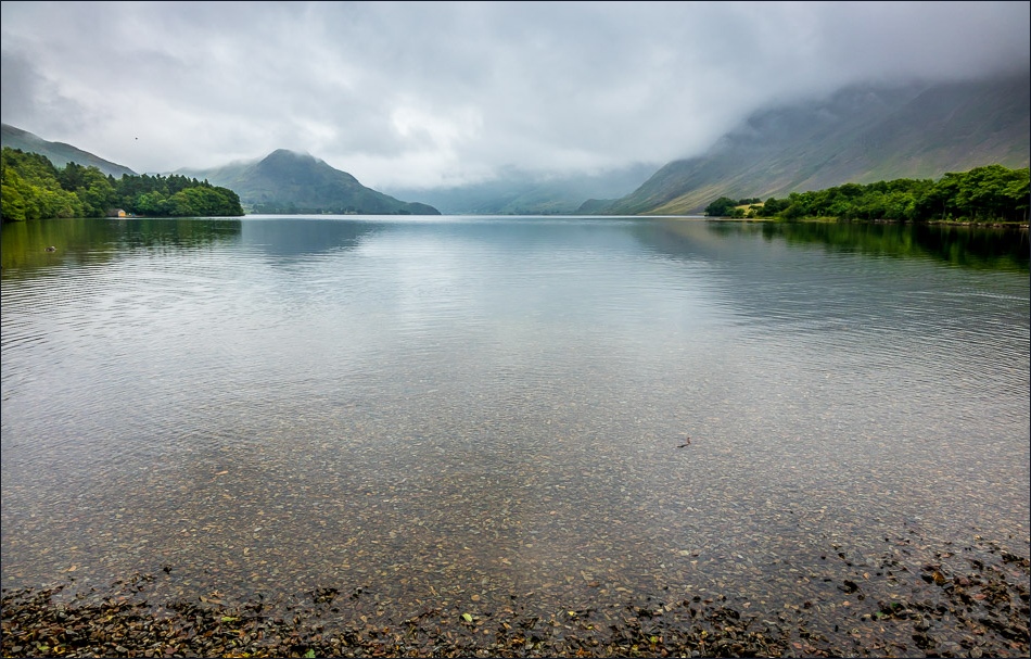
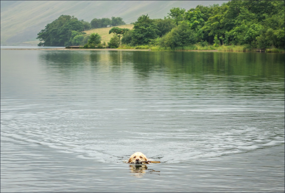
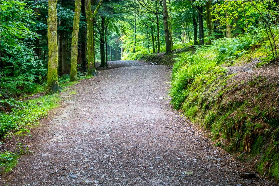
The clouds were low, making the views over Lorton Vale and Crummock Water very atmospheric. We then walked along the edge of Lanthwaite Woods and descended to the boat house on the shore of Crummock Water, returning to the car park via the main track from the foot of the lake
Despite the gloomy weather, we enjoyed this walk as much as ever
For other walks here, visit my Find Walks page and enter the name in the ‘Search site’ box
Click on the icon below for the route map (subscribers to OS Maps can view detailed maps of the route, visualise it in aerial 3D, and download the GPX file. Non-subscribers will see a base map)
Scroll down – or click on any photo to enlarge it and you can then view as a slideshow
