Route: A walk from Threlkeld
Area: Northern Lake District
Date of walk: 10th April 2014
Walkers: Andrew and Gilly
Distance: 4.2 miles
Ascent: 400 feet
Weather: plenty of bright spells
Those two spoilsports Messrs Clag and Murk scuppered our carefully prepared plans once more, but later on it cleared up and there was just enough time for a short low level walk
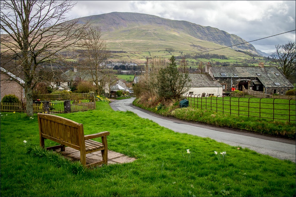
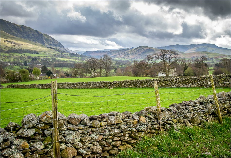
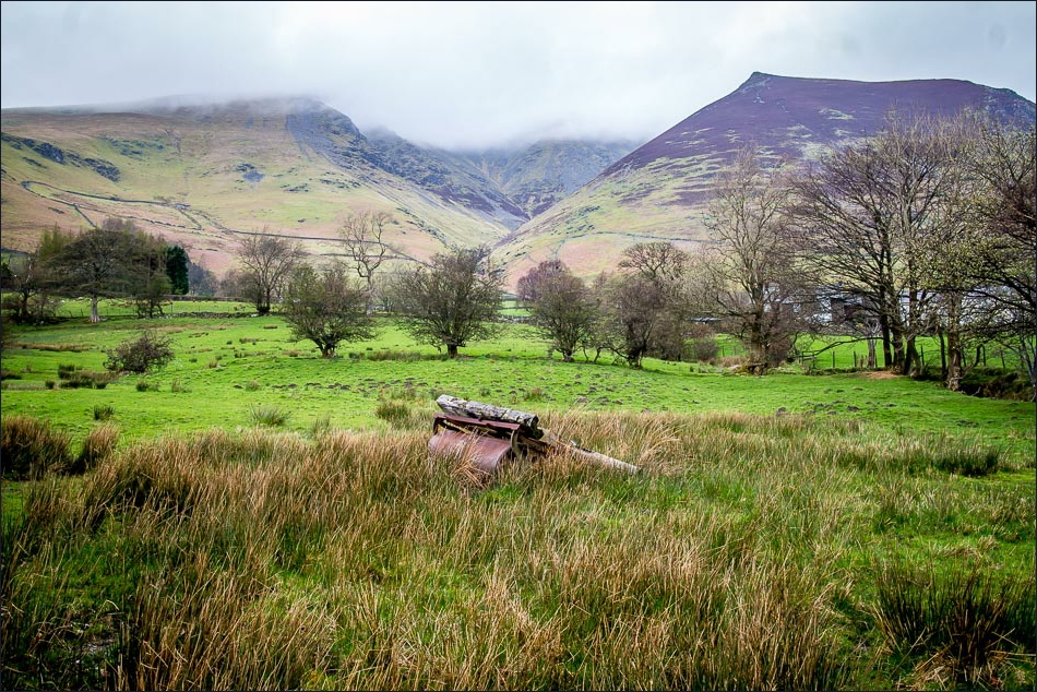
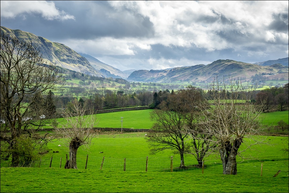
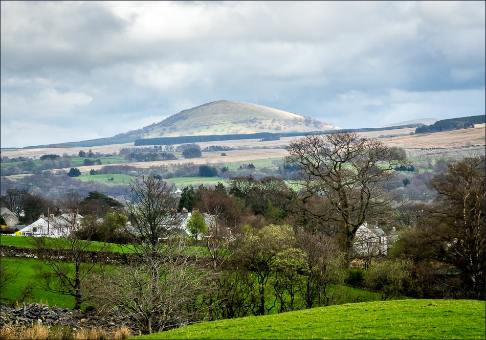
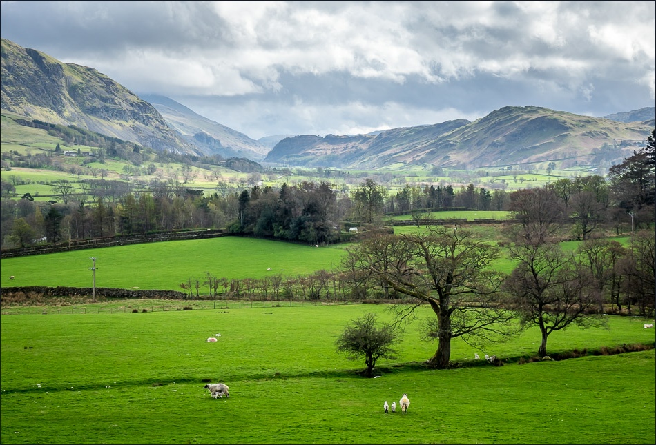
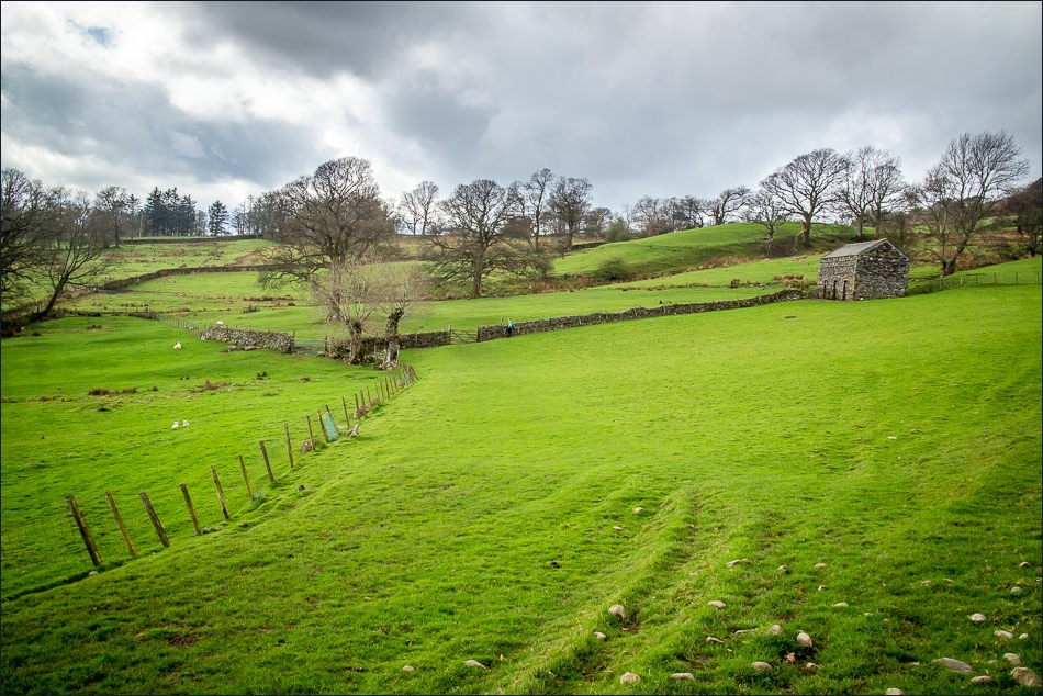
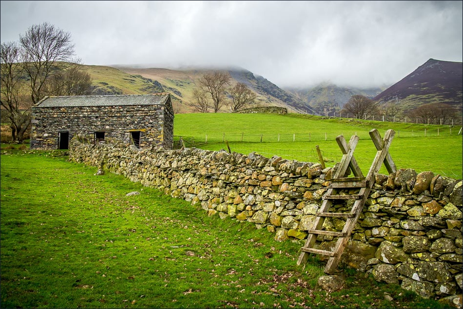
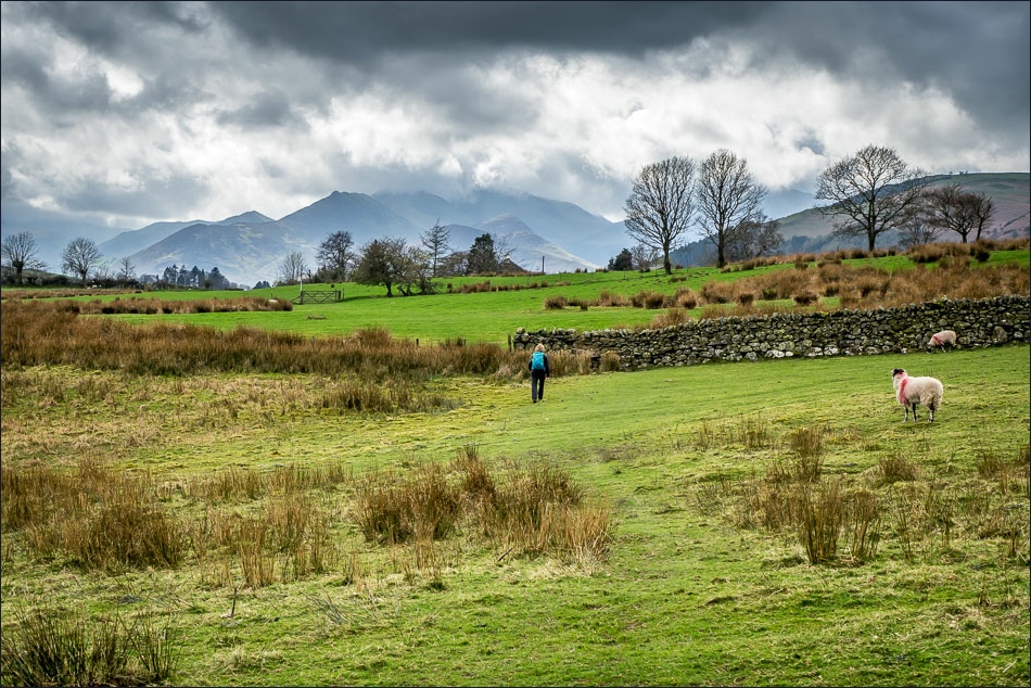
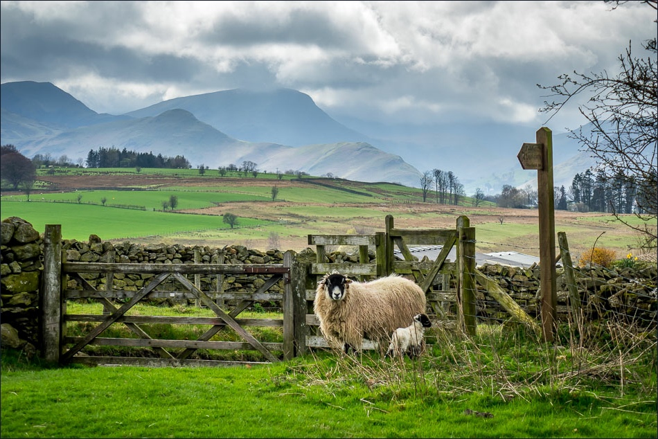
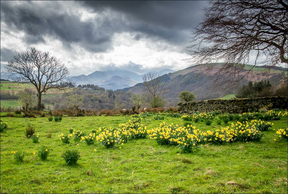
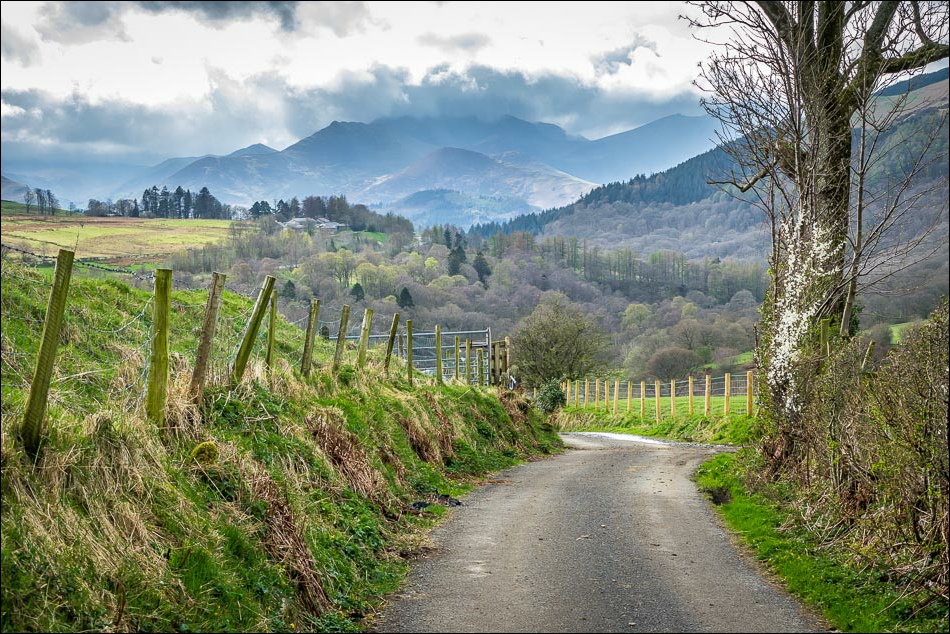
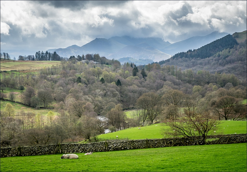
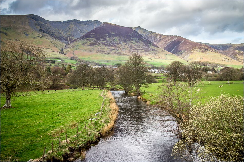
Without ado we drove over to Threlkeld and parked just beyond the school. Blencathra had its head in the clouds, but as we walked through the fields there were wonderful views ahead of the North Western Fells and to our left of St John’s in the Vale
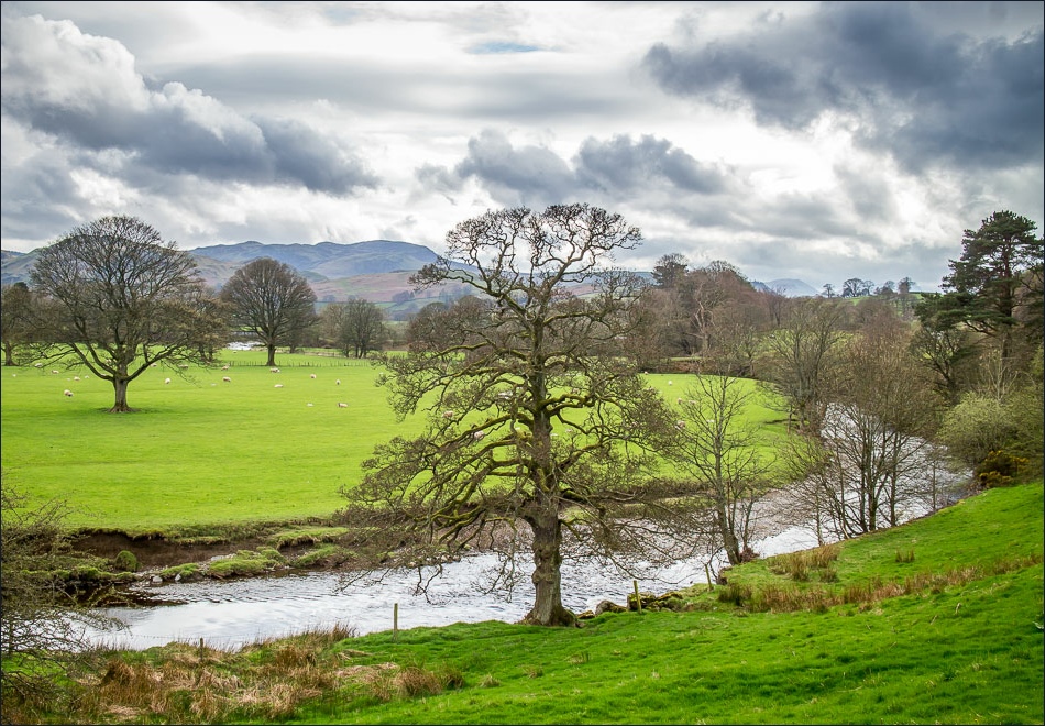
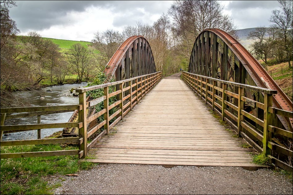
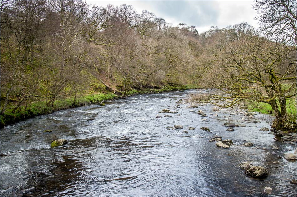
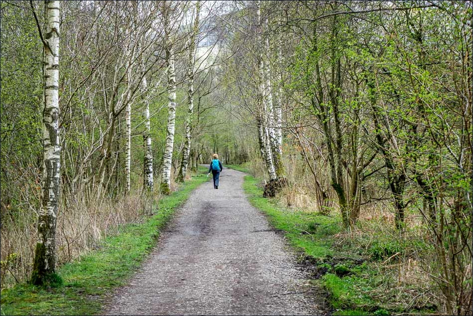
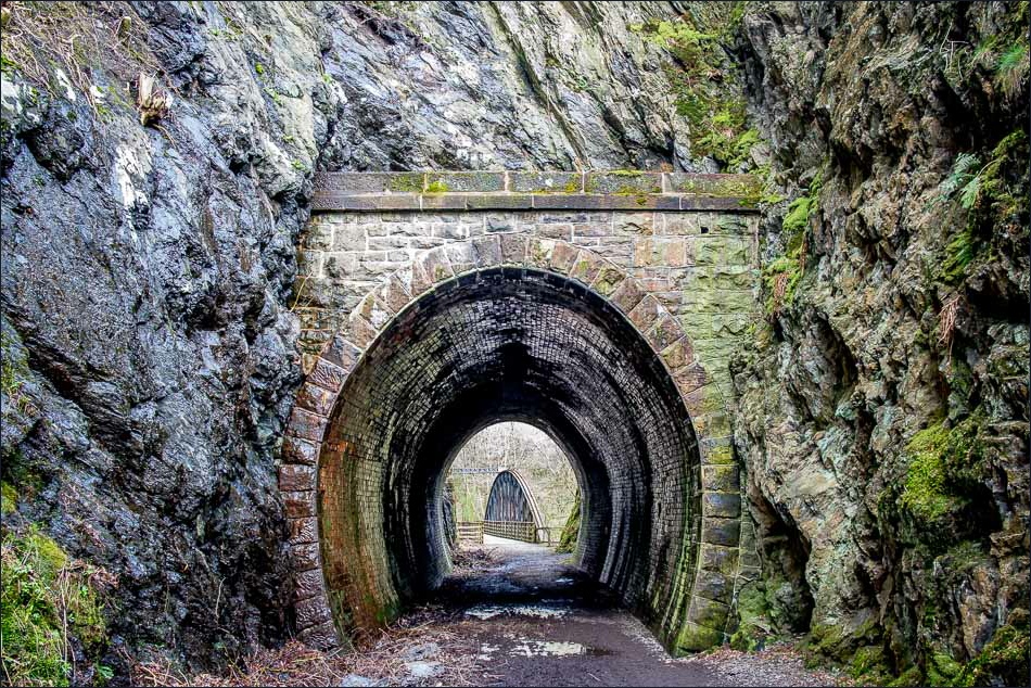
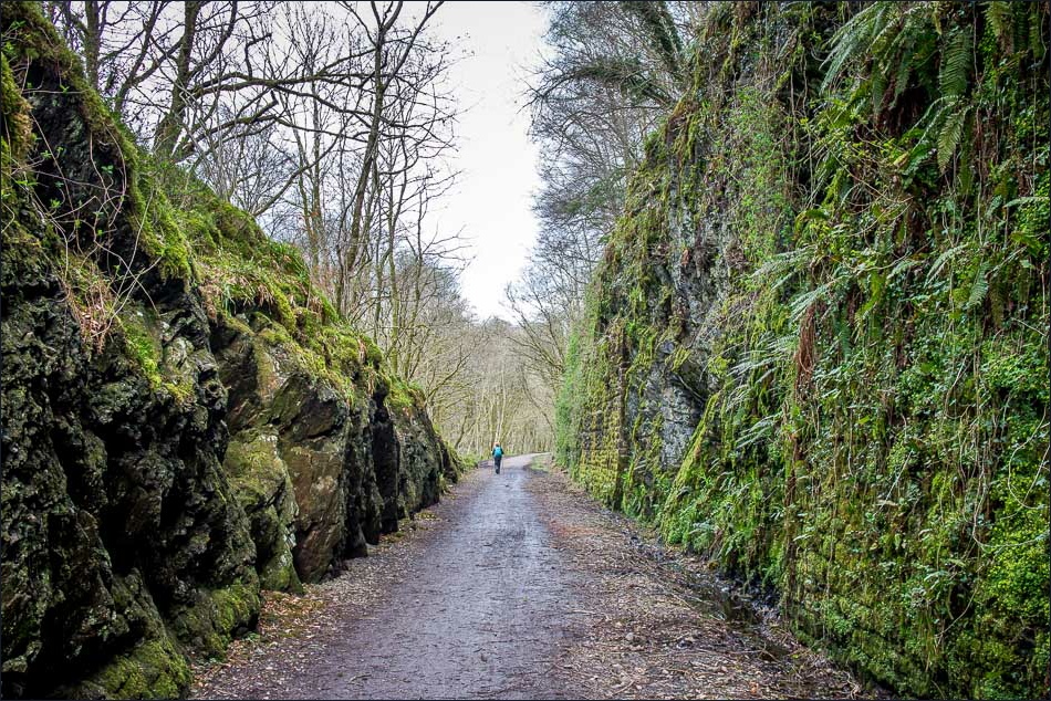
We followed a lane downhill to join the disused railway line which provided an easy and delightful way back, with the River Greta by our side for much of the way
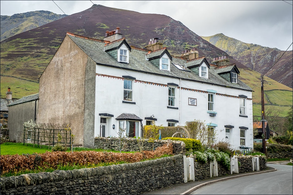
The weather improved as we progressed and, by the time we got back to Threlkeld, Blencathra could be seen in all its glory
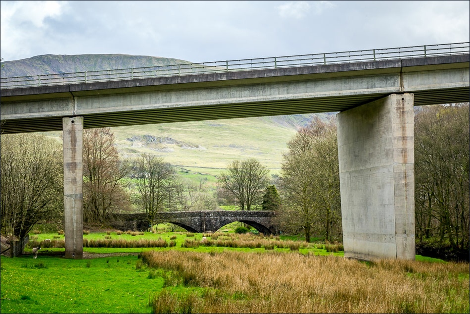
We’d had our reservations about this walk due to its proximity to the busy A66, but in the event this wasn’t a problem at all and we both agreed it had been a fantastic walk which we’d happily repeat
Click on the icon below for the route map (subscribers to OS Maps can view detailed maps of the route, visualise it in aerial 3D, and download the GPX file. Non-subscribers will see a base map)
Scroll down – or click on any photo to enlarge it and you can then view as a slideshow
