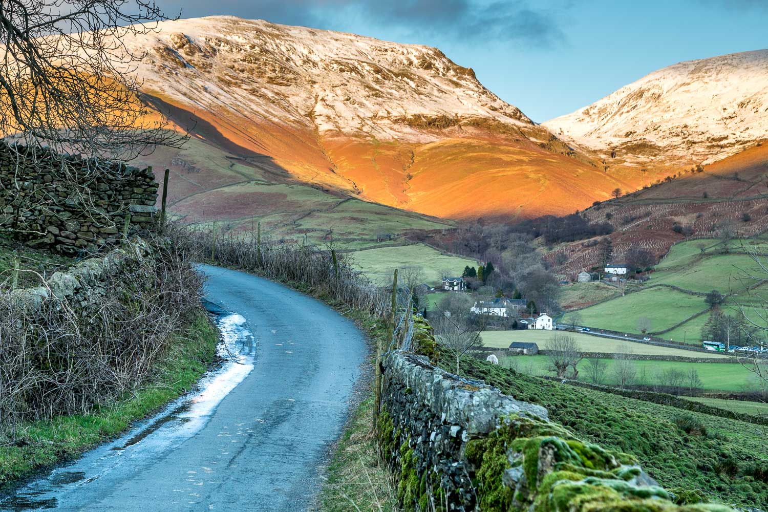
Route: Steel Fell, Calf Crag, Gibson Knott and Helm Crag
Area: Central Lake District
Date of walk: 28th December 2017
Walkers: Andrew and Gilly
Distance: 8.3 miles
Ascent: 3,100 feet
Weather: Sun and snow – perfect
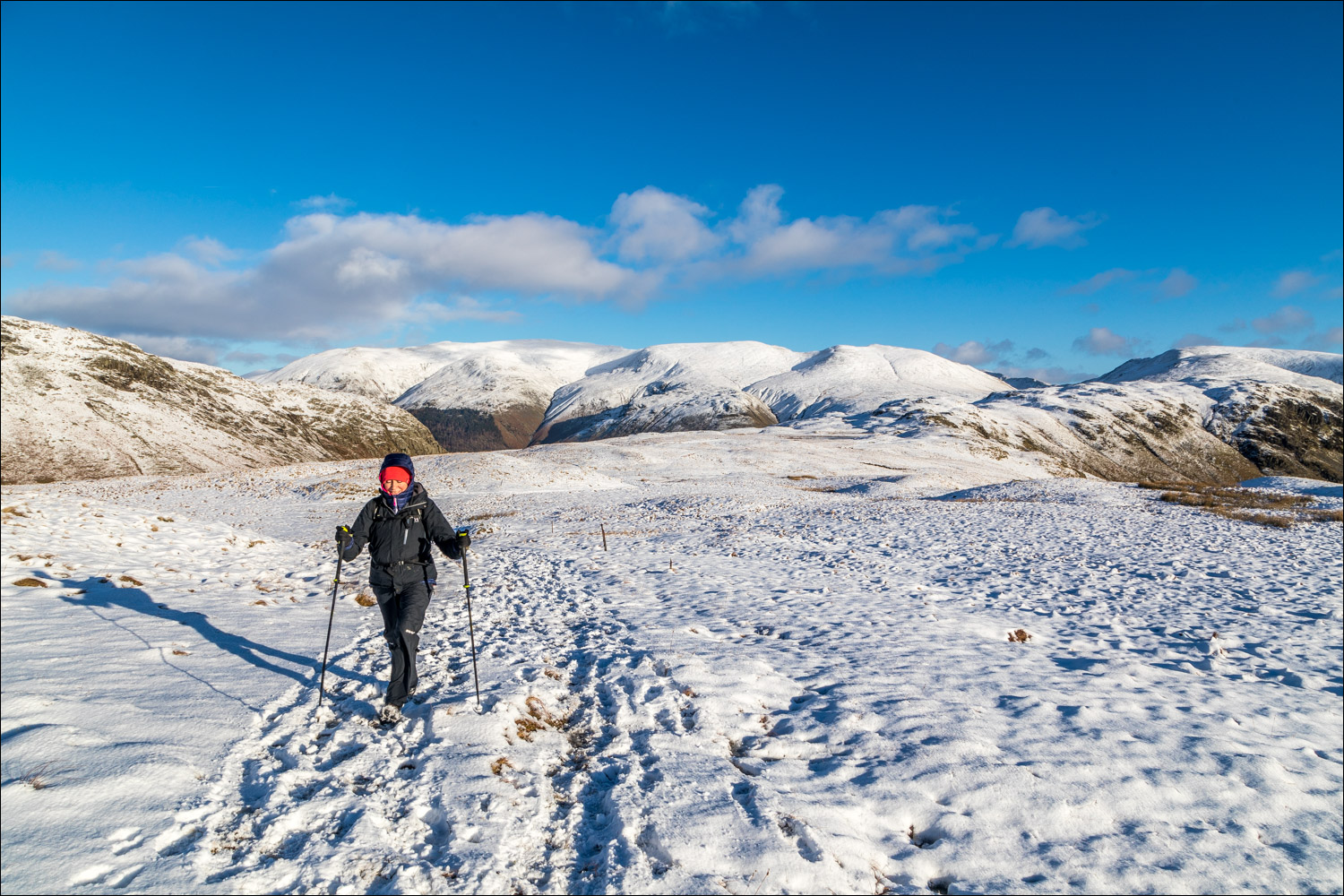
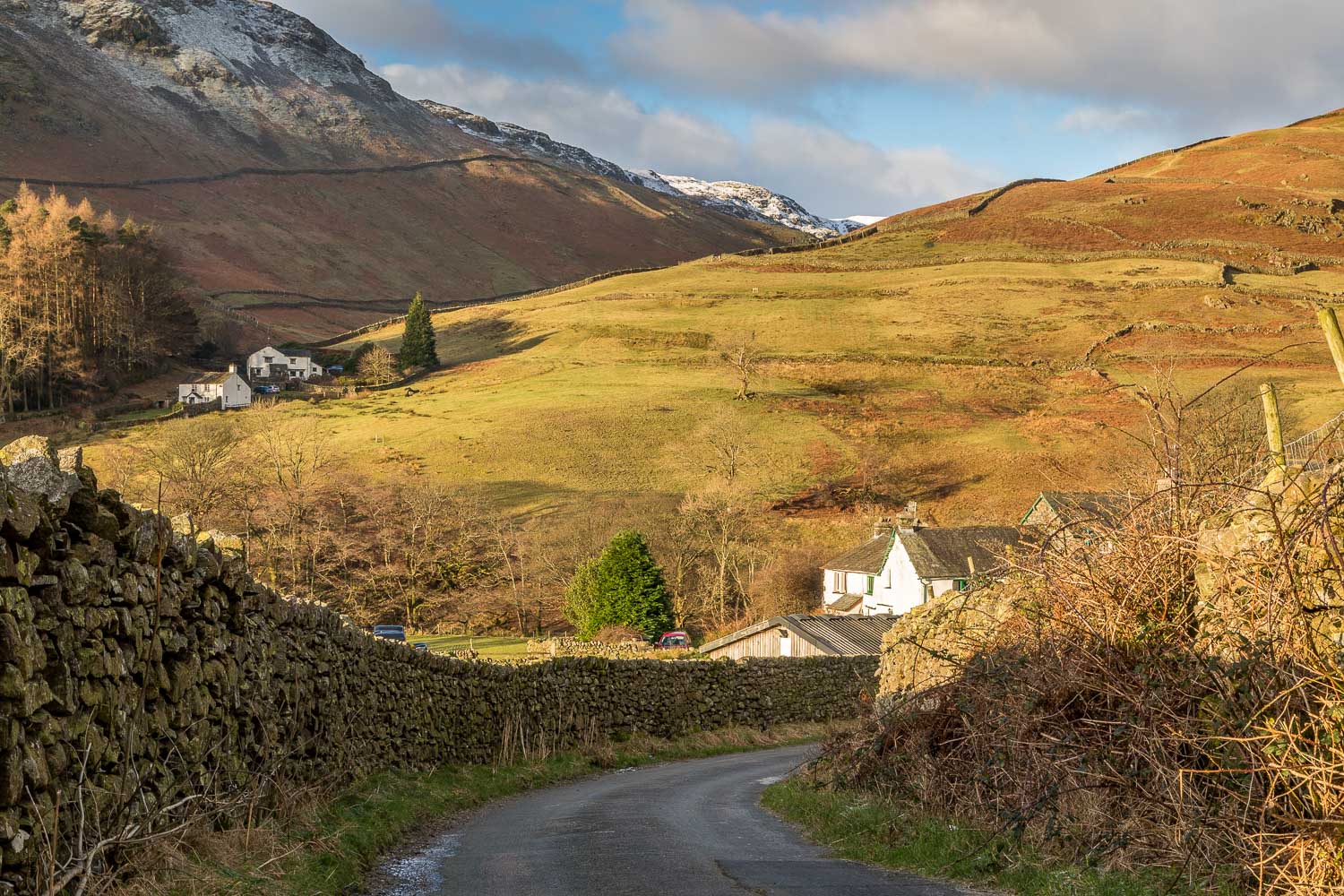
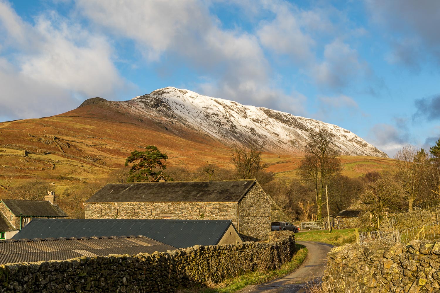
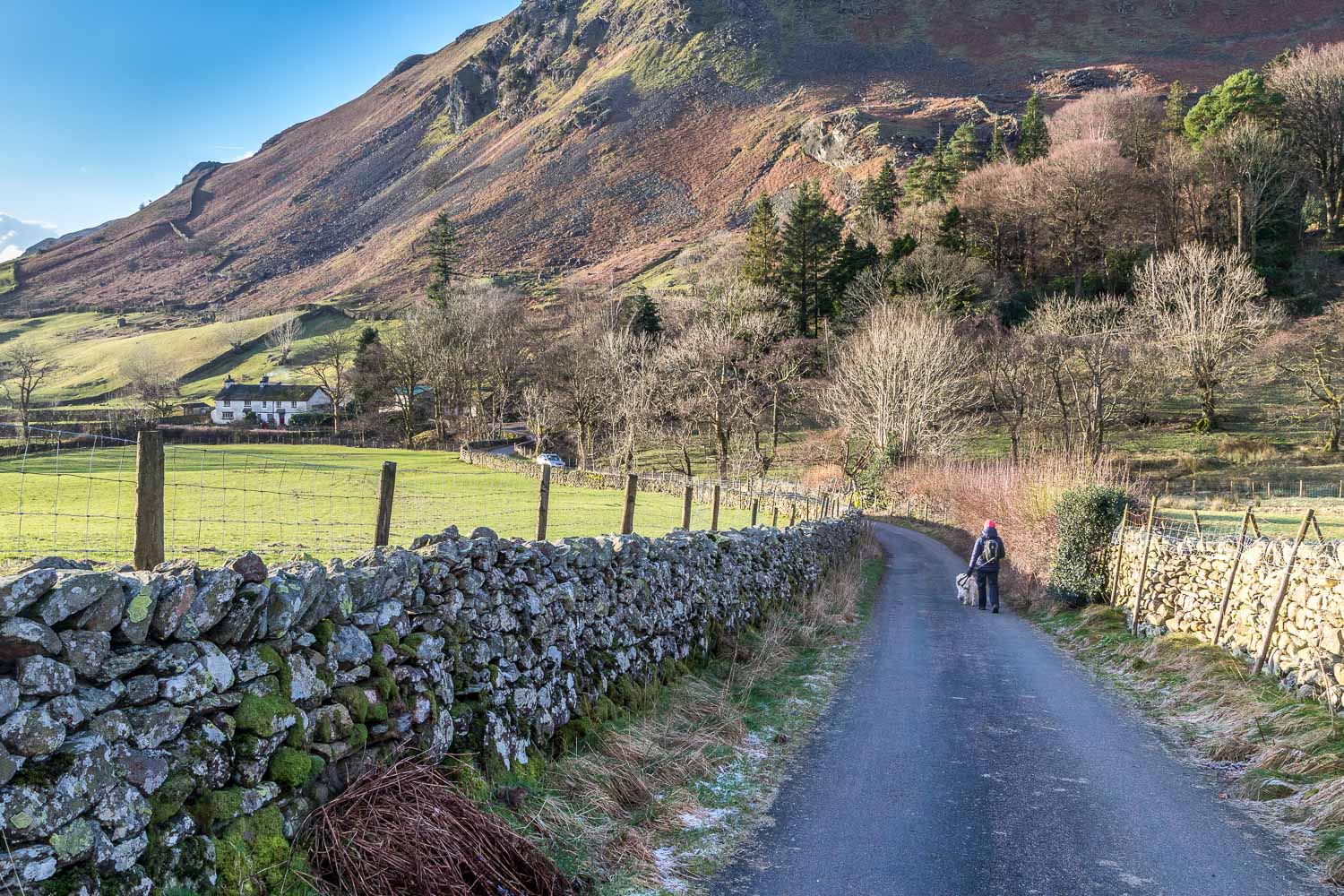
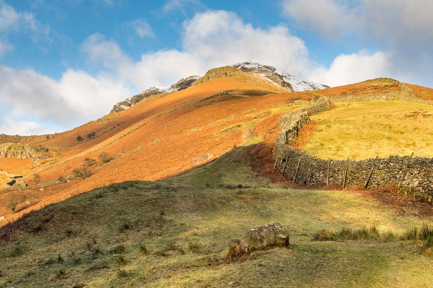
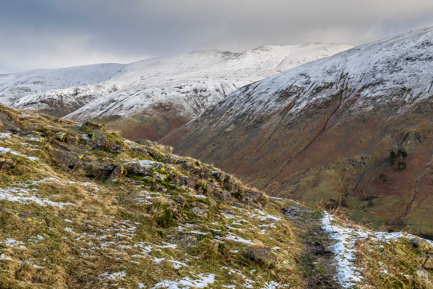
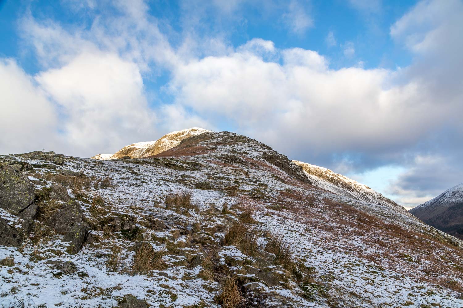
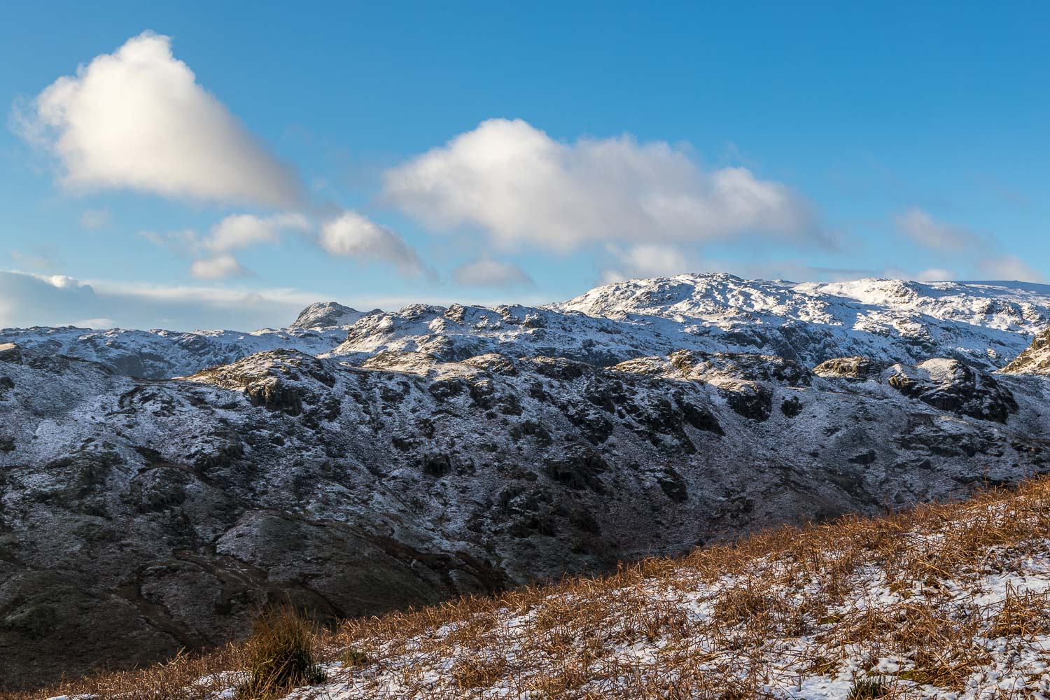
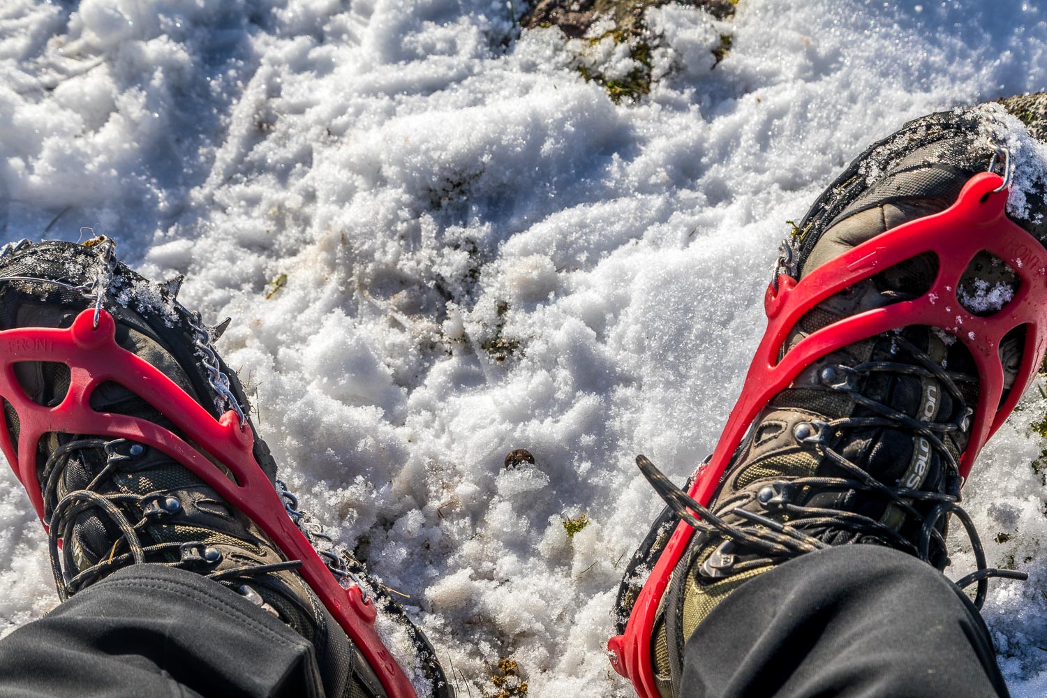
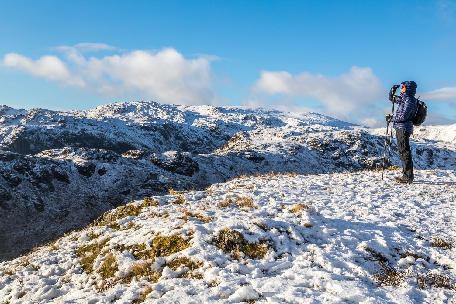
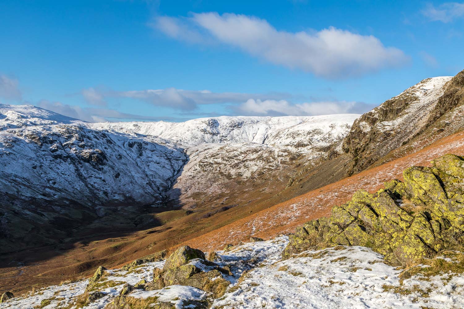
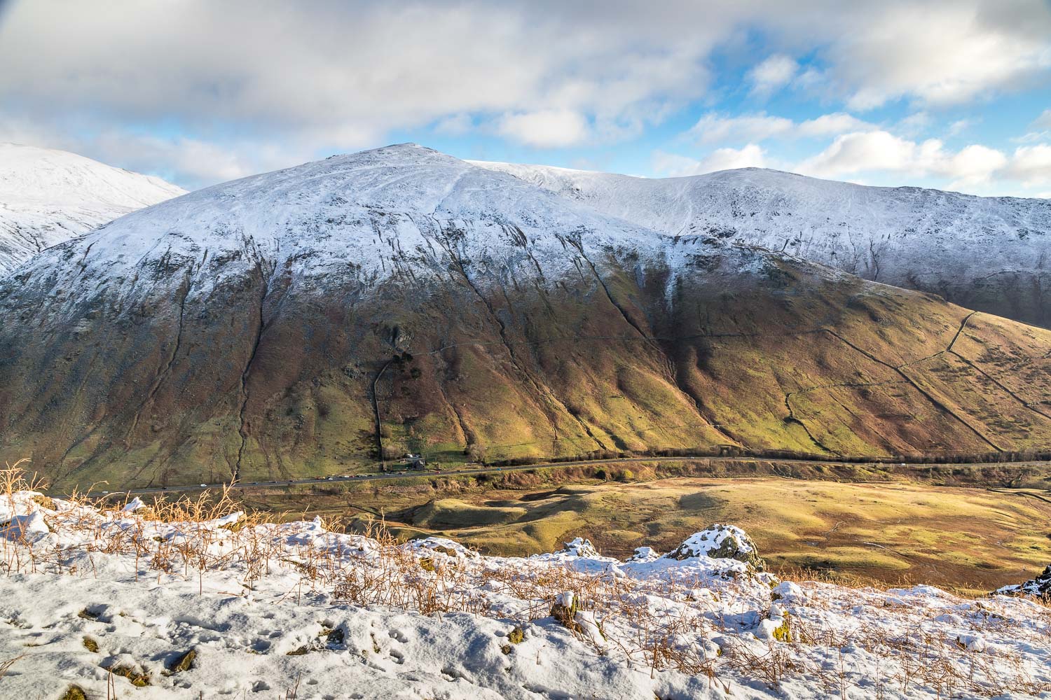
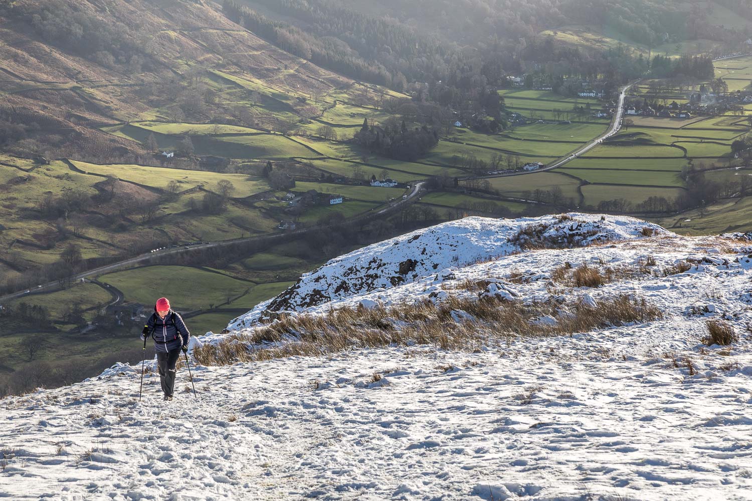
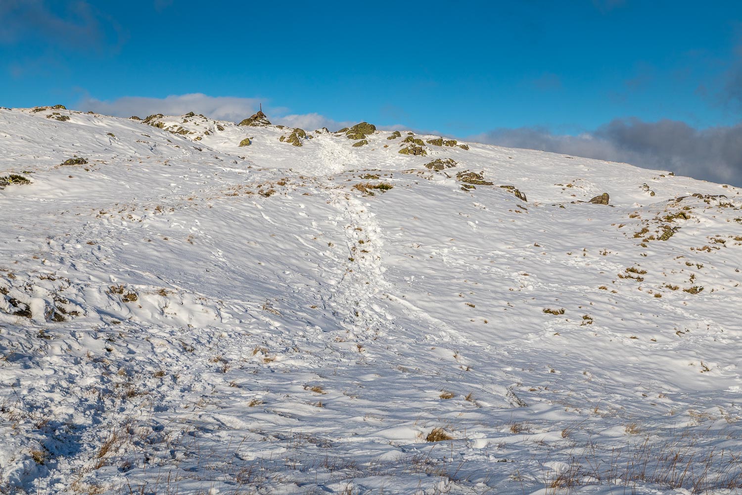
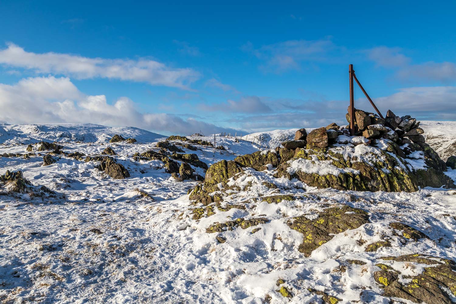
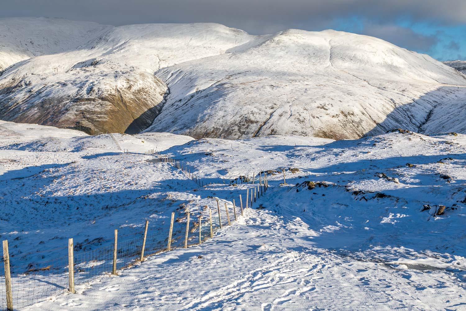
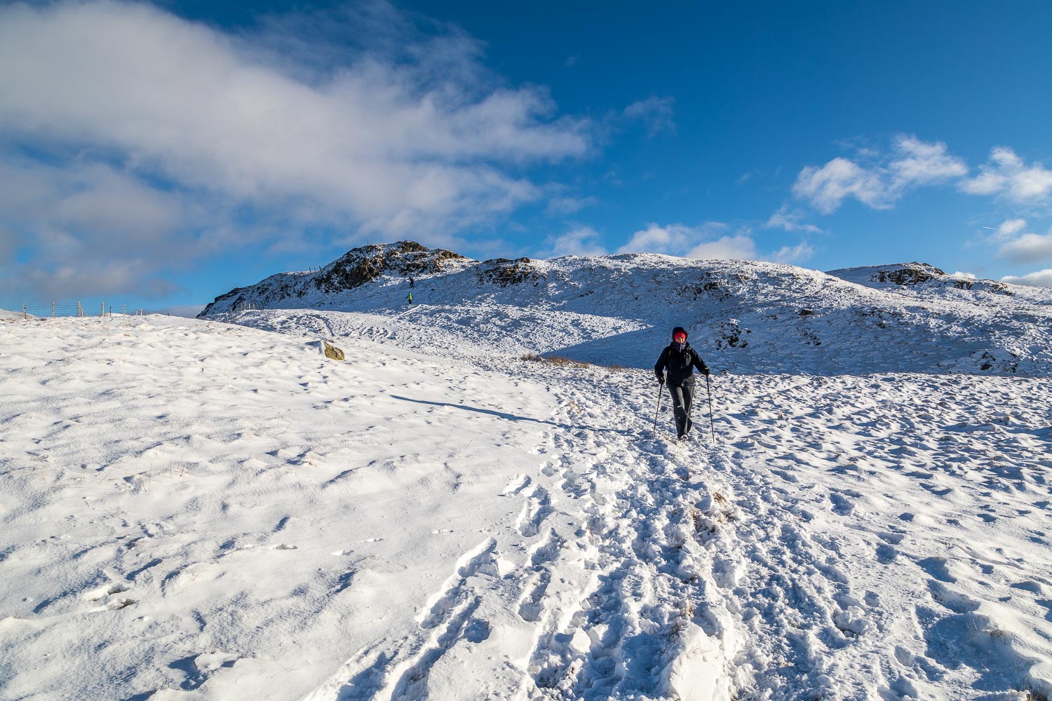
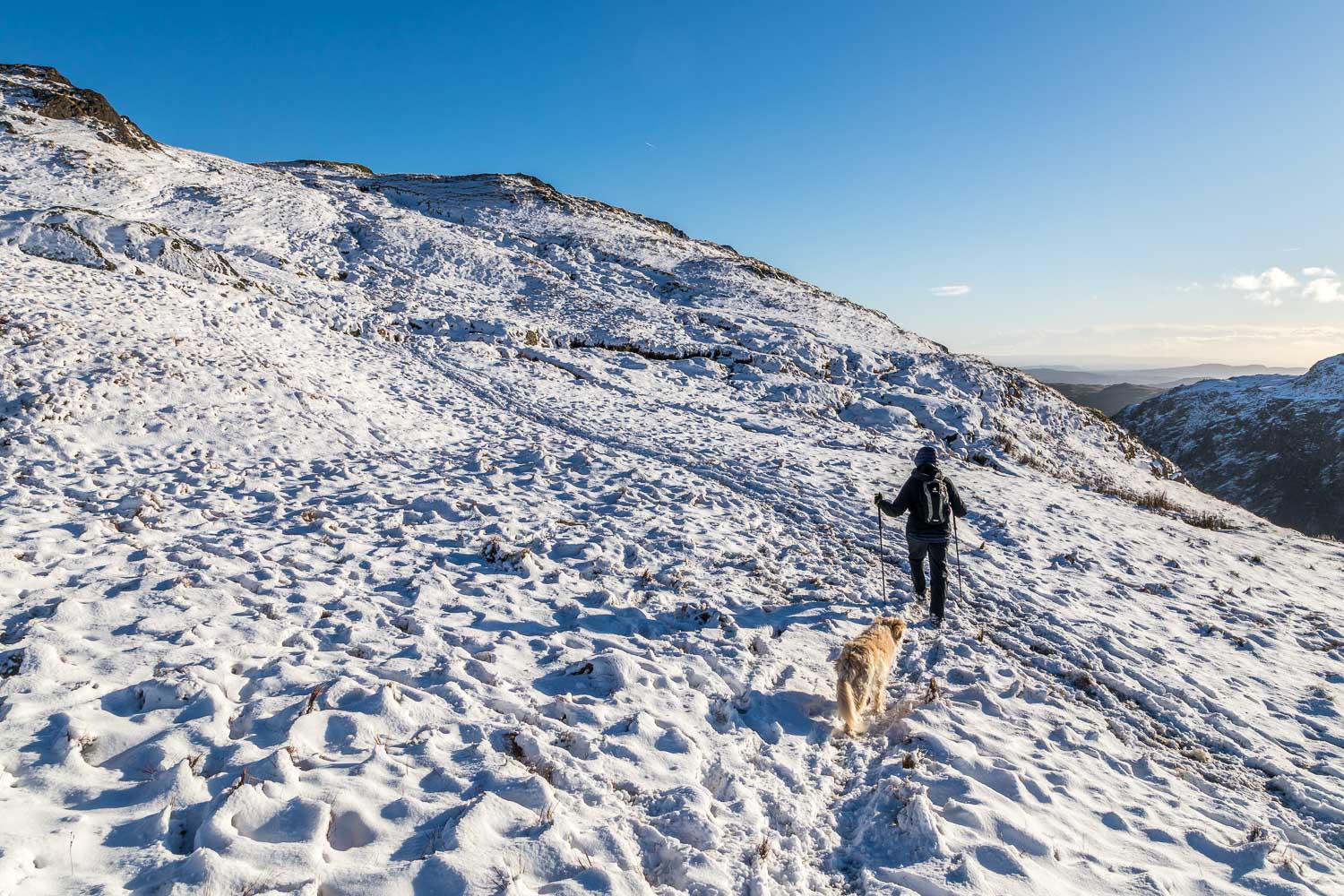
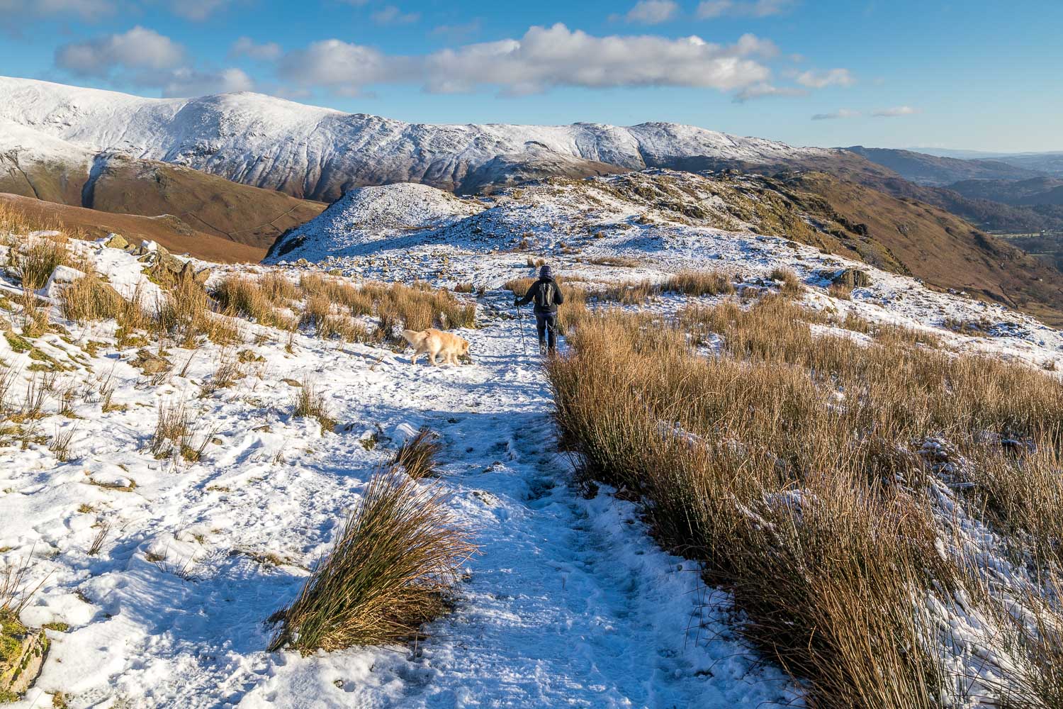
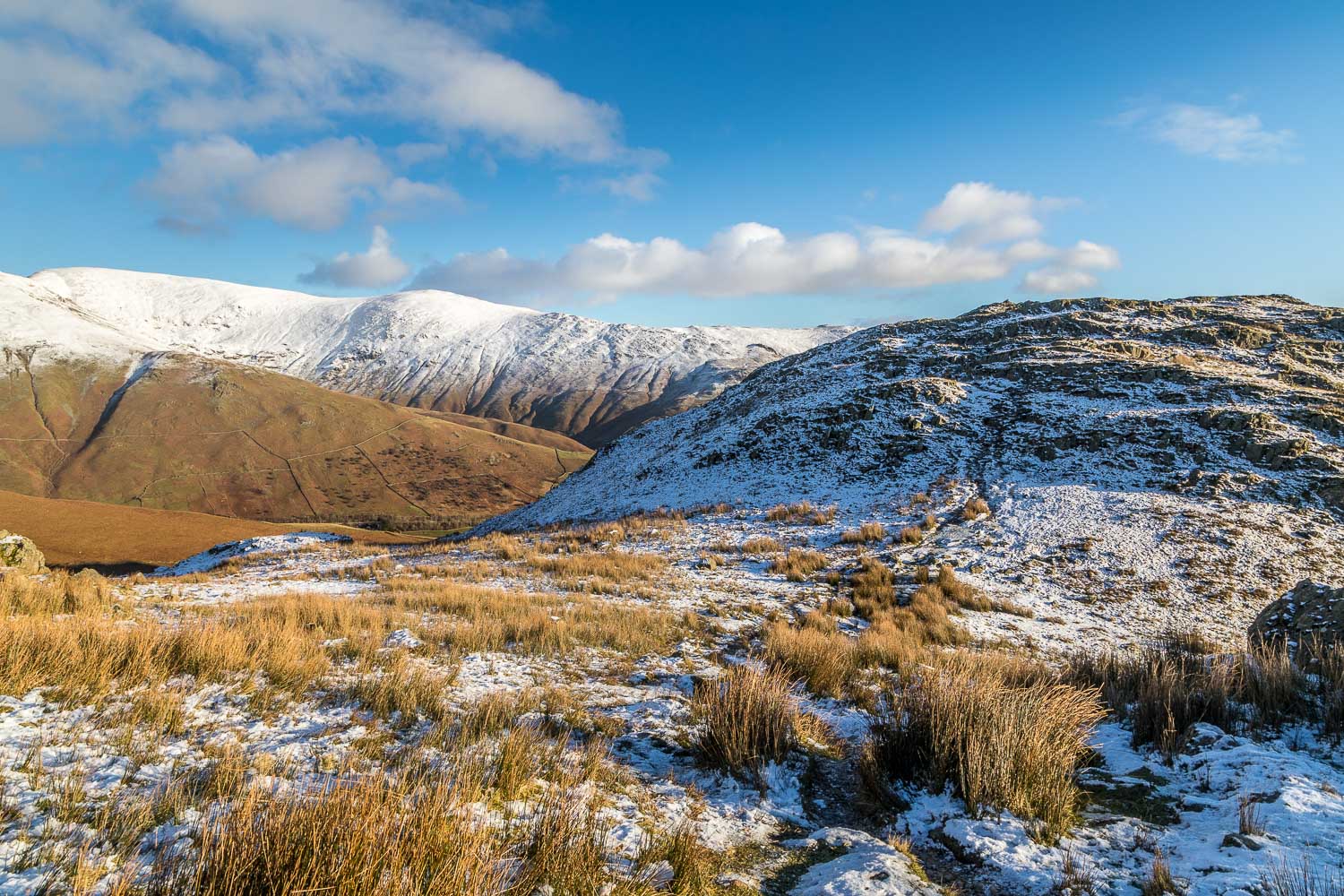
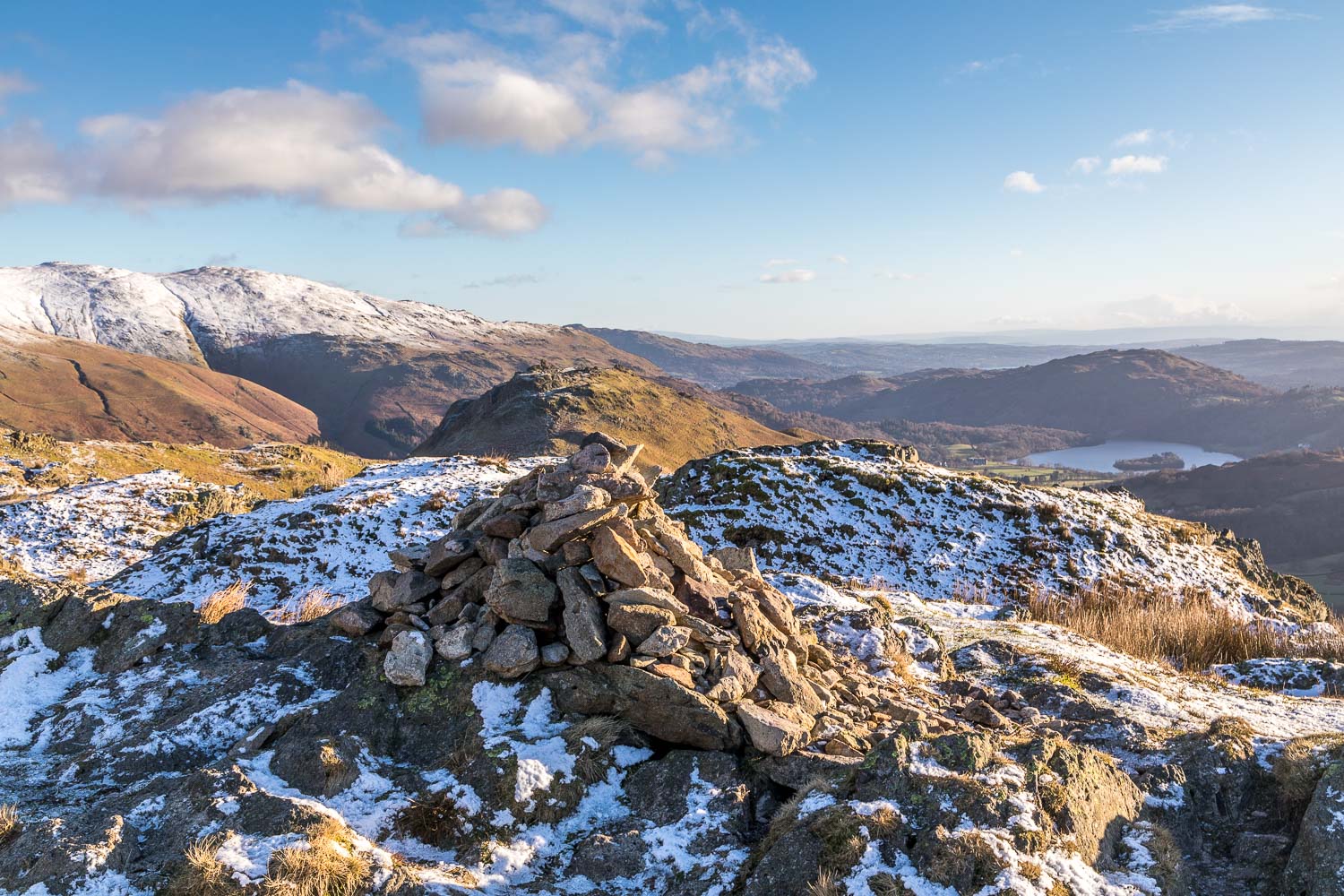
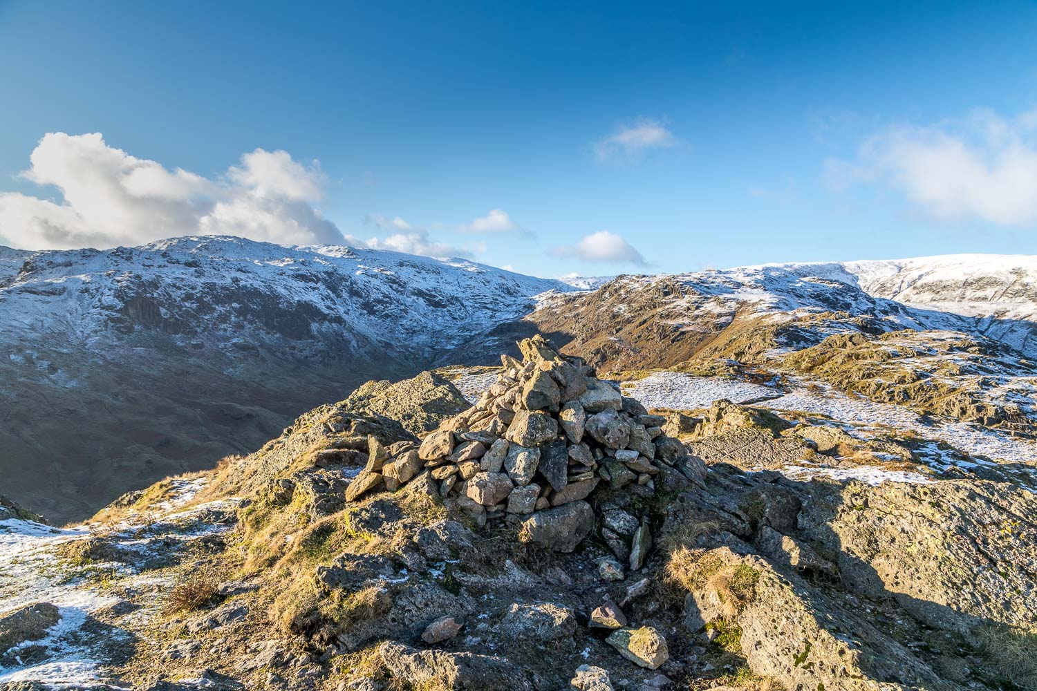
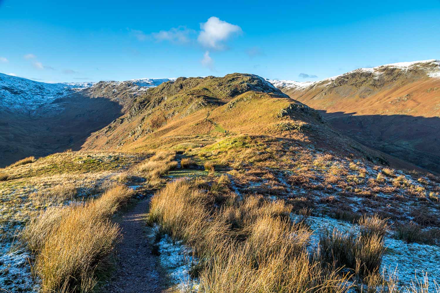
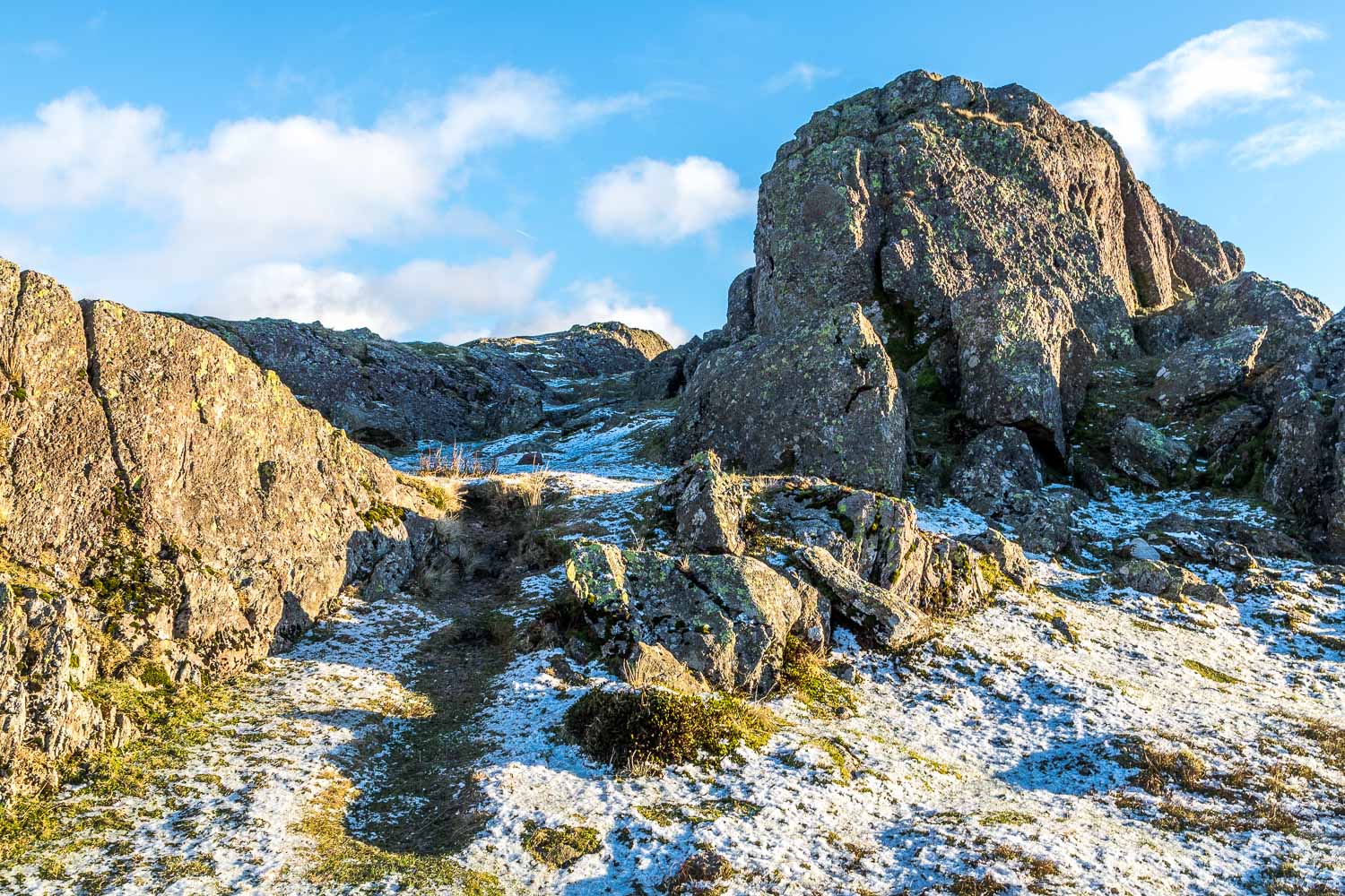
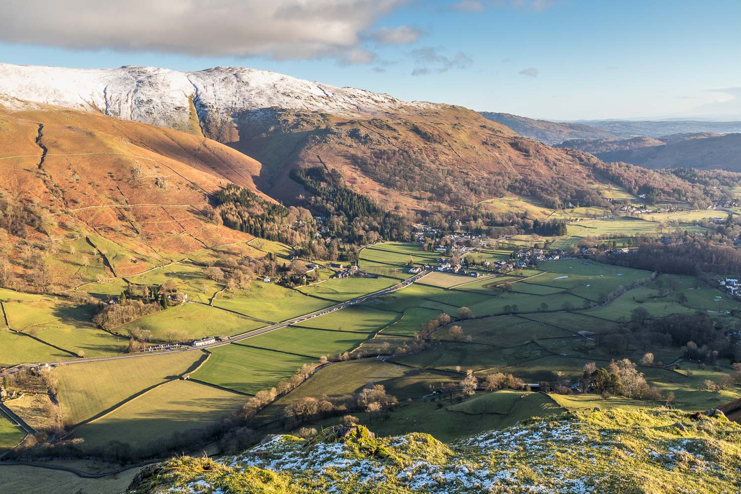
It was a cold and frosty morning as we drove over Dunmail Raise and parked in one of the laybys just before Grasmere. The fells were coated in snowy icing and looked to be in perfect condition. We couldn’t wait to get started. After walking beside the busy A591 for 100 yards or so we crossed the road and joined a narrow lane leading through Town Head. Just beyond this small settlement we forked off to the right to start the climb up Cotra Breast, which is the long ridge leading up to Steel Fell. The length of the ridge has the fortunate effect of making the gradient fairly gentle, and it’s an easy climb to the top. About half way up we reached the snowline and it was time to put on our microspikes – a really useful piece of kit in slippery conditions like today’s
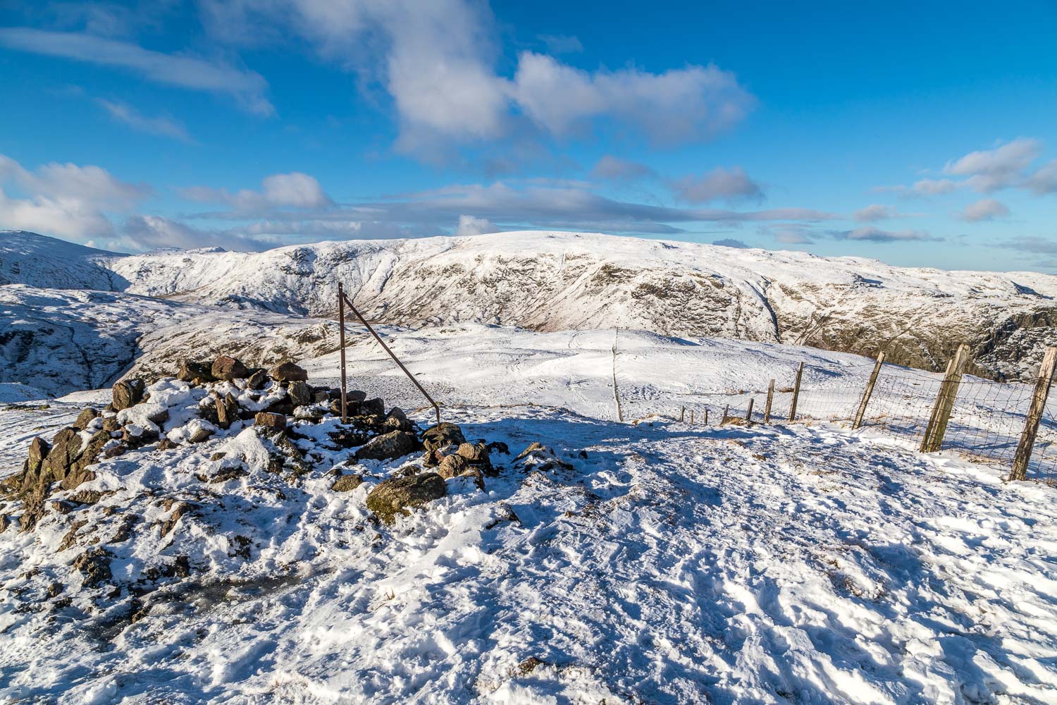
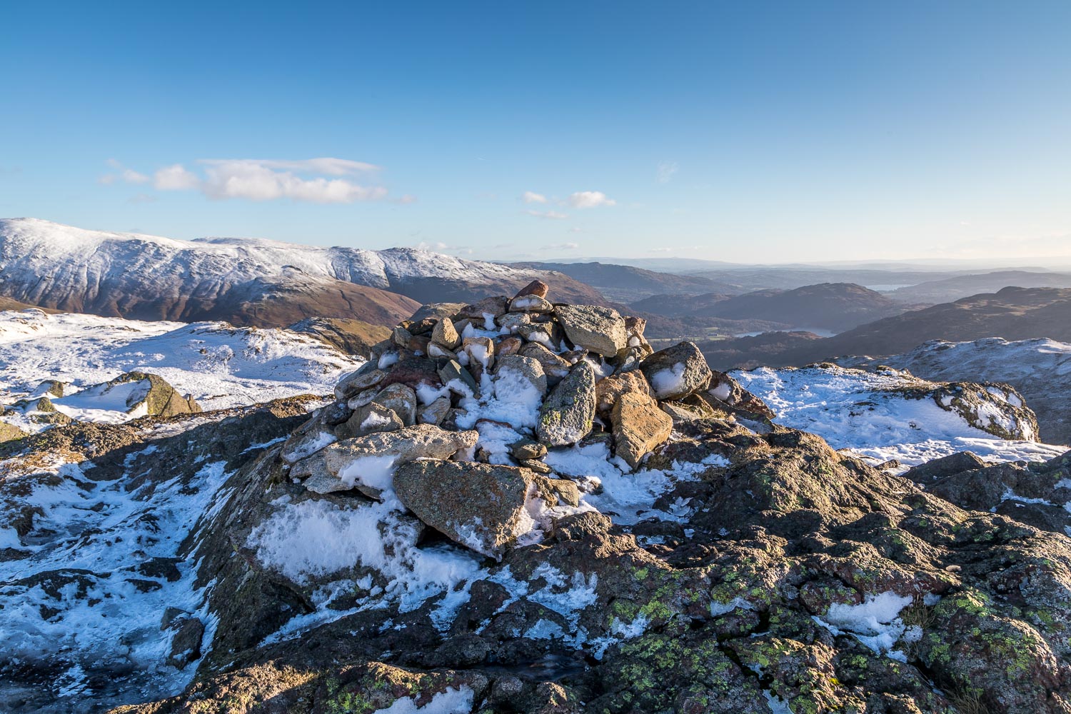
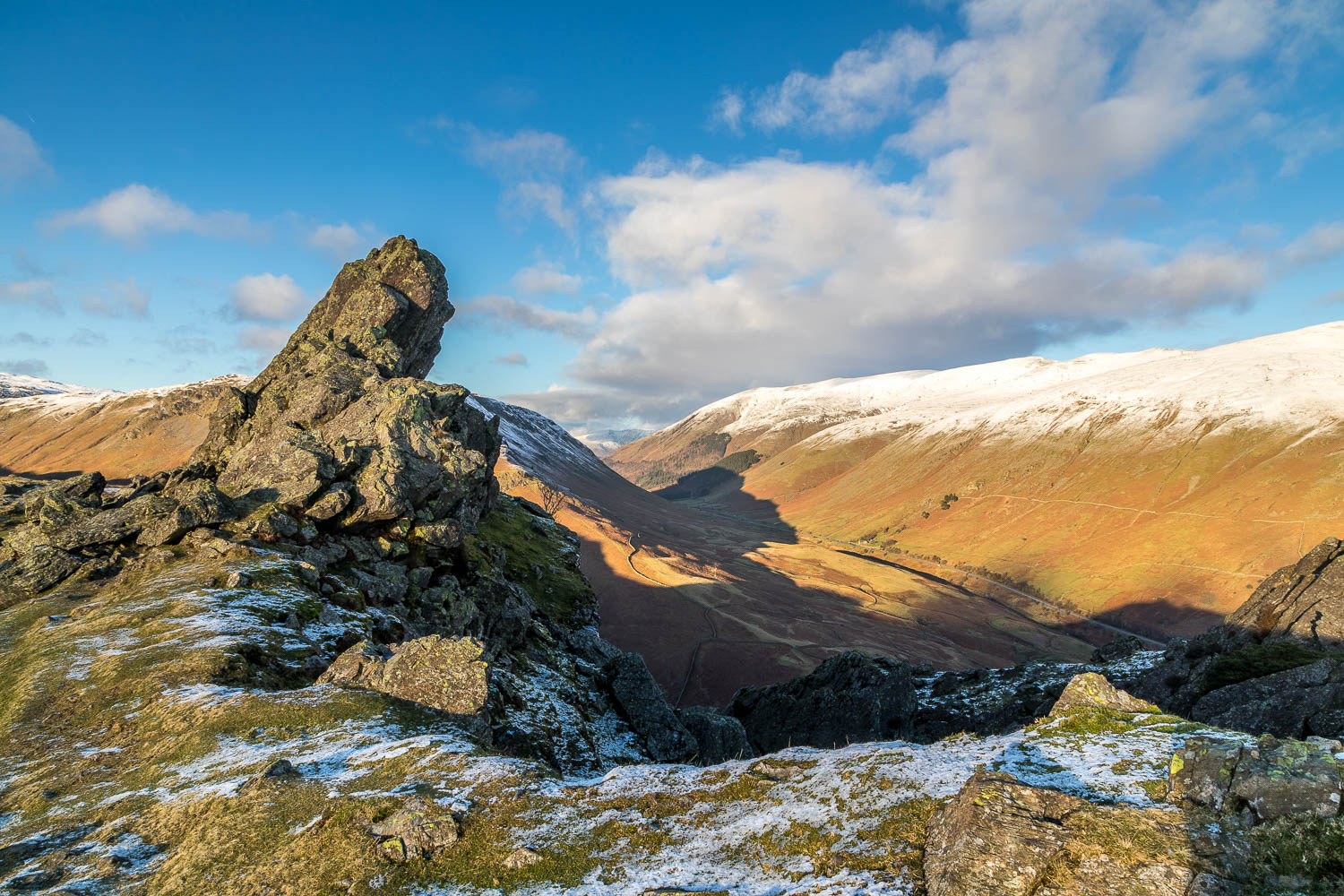
There’s a good view along Thirlmere from the summit of Steel Fell and as we admired it we reflected on the pending planning application to install 8 zip wires across it. A truly awful prospect in my opinion, and I’ve already lodged my objection, having enjoyed numerous quiet walks around Thirlmere and its surroundings
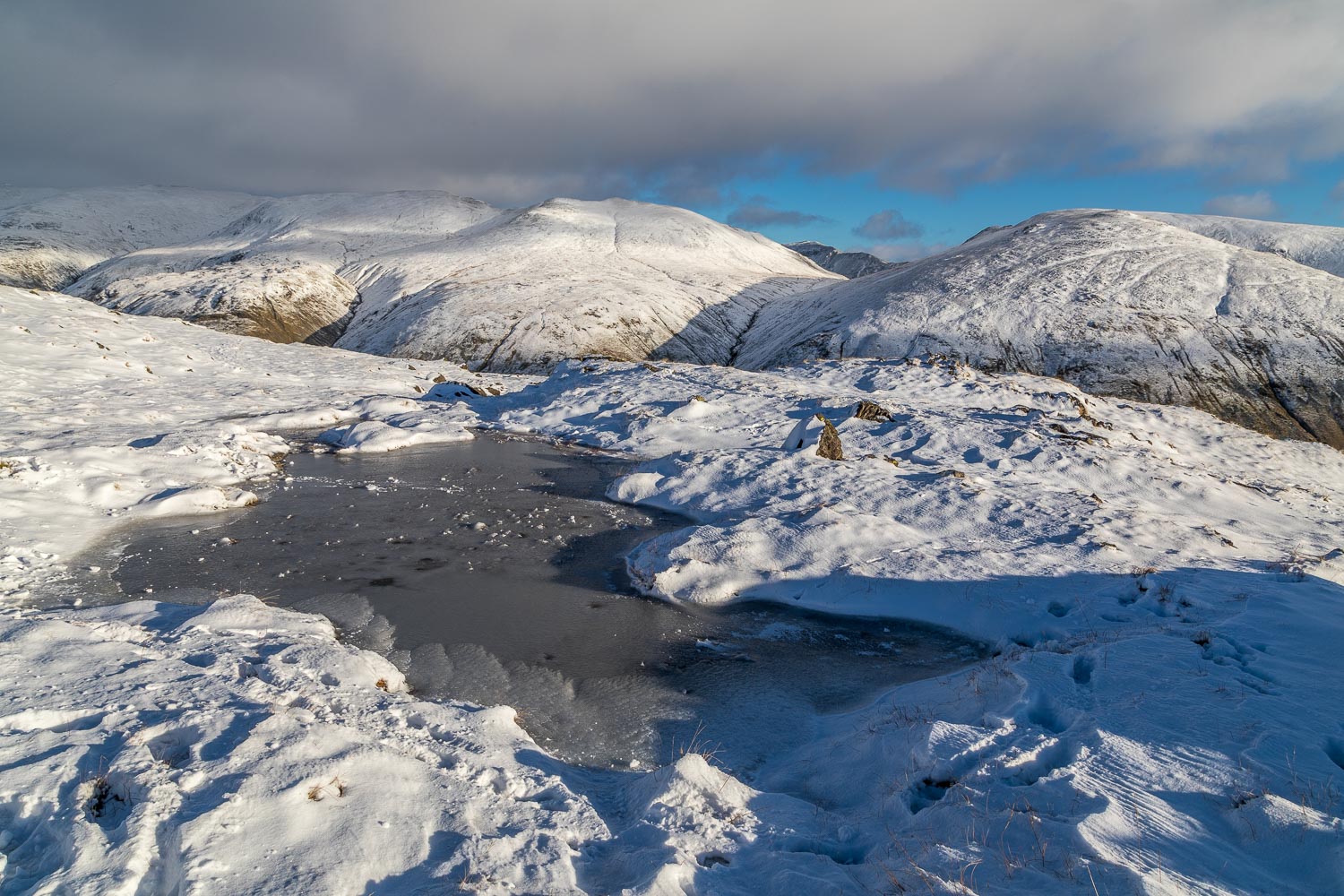
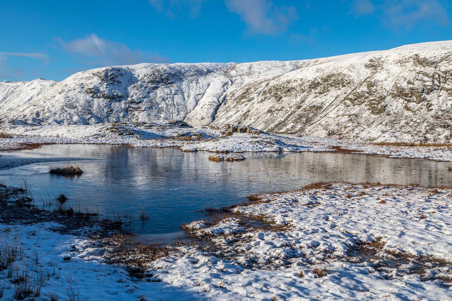
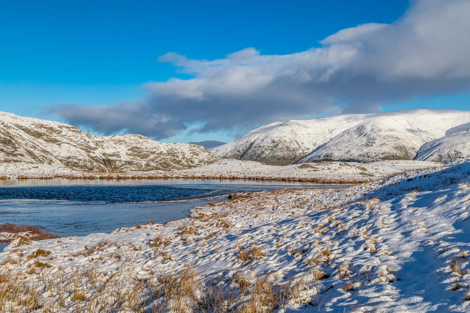
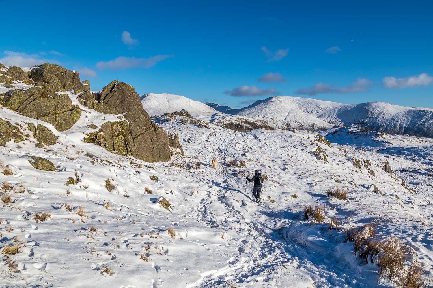
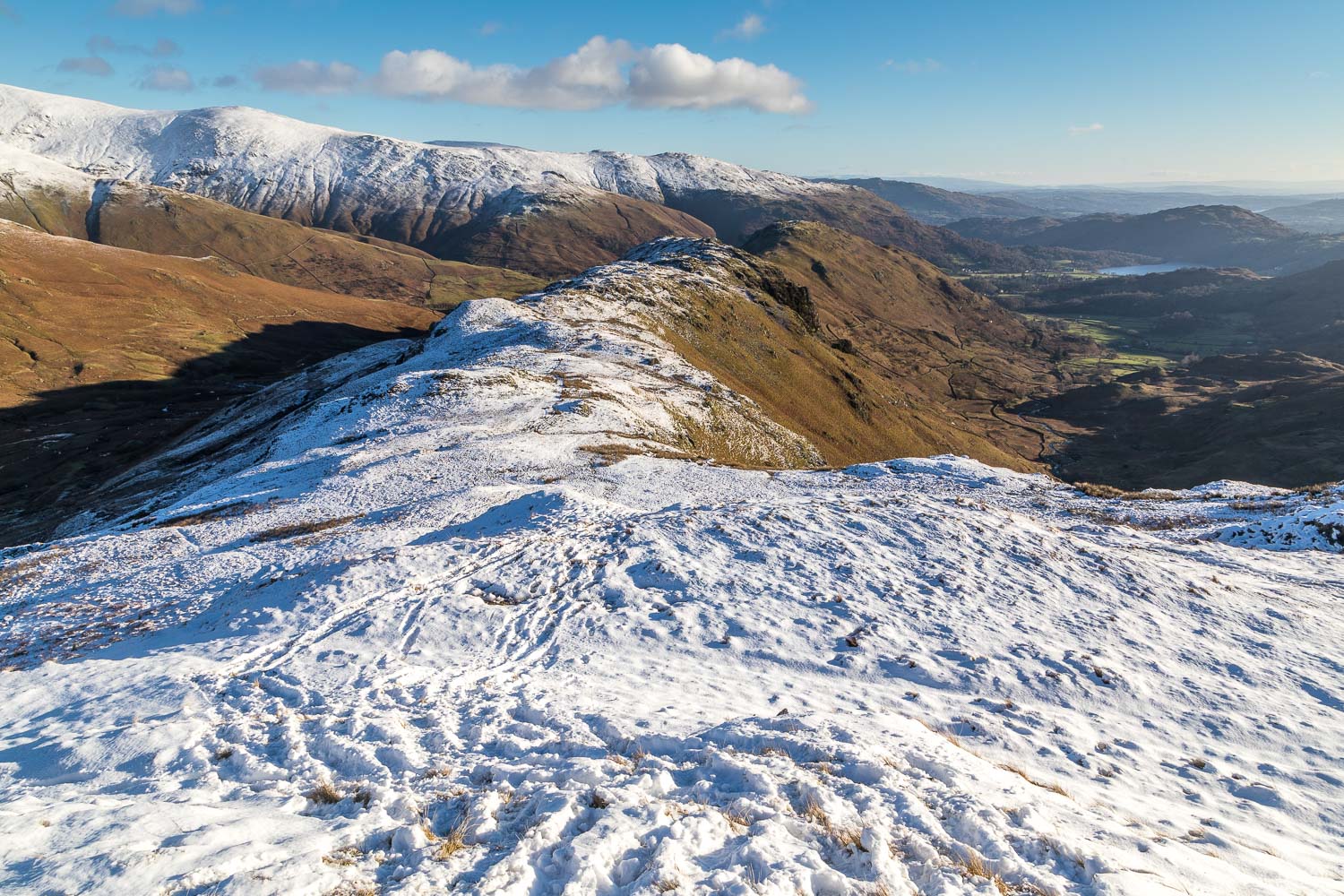
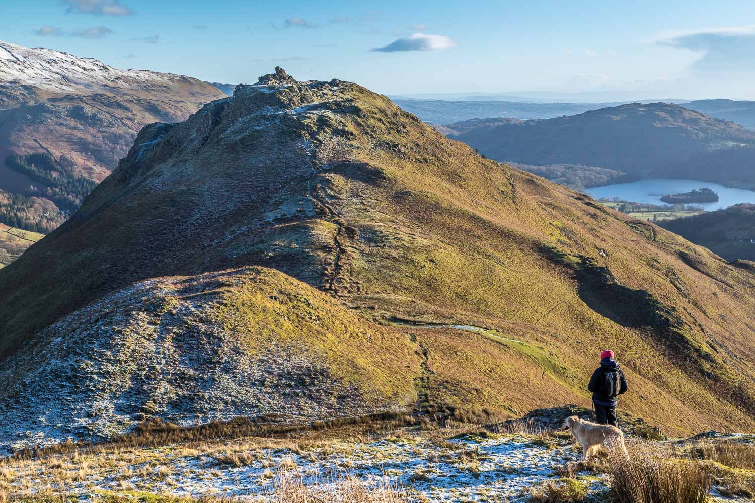
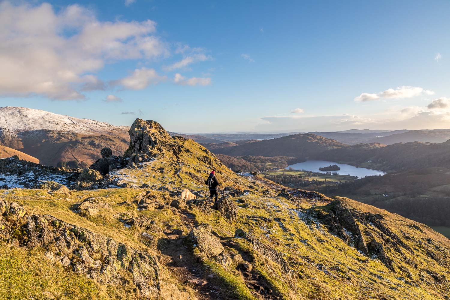
We descended from Steel Fell past a couple of attractive unnamed tarns and across land which would normally be marshy and unpleasant – but the ground was frozen and so we managed to keep our boots dry. At the end of this section we turned sharp left to make the short climb up to the next summit – Calf Crag. From here there followed a long ridge walk with innumerable ups and downs leading to Gibson Knott and then to the last fell on the round – Helm Crag
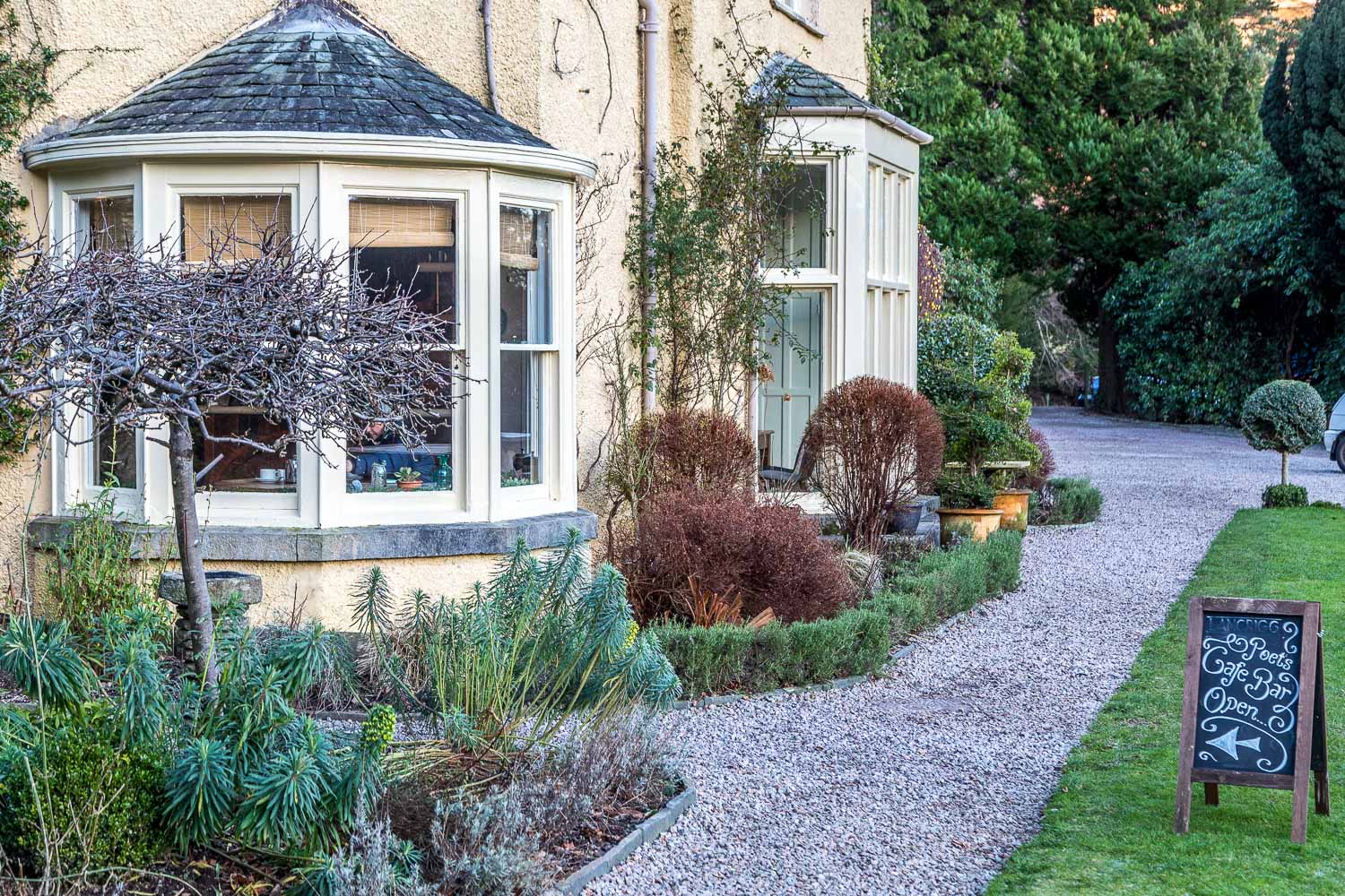
In fading light we descended through Lancrigg and joined the lane below Helm Crag which took us back to the A591. A short and unpleasant walk beside the road brought us back to the start of a the walk. The roadside section will soon be forgotten but the snow clad fells and the views from them will live long in our memories – this had been a truly wonderful walk
Click on the icon below for the route map (subscribers to OS Maps can view detailed maps of the route, visualise it in aerial 3D, and download the GPX file. Non-subscribers will see a base map)
Scroll down – or click on any photo to enlarge it and you can then view as a slideshow
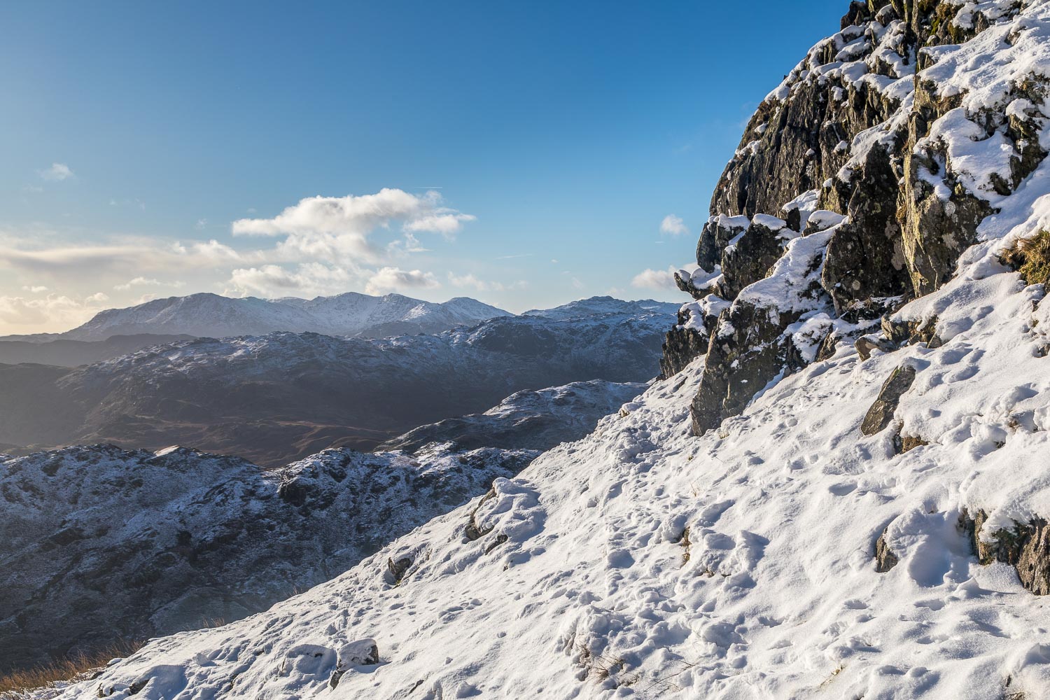
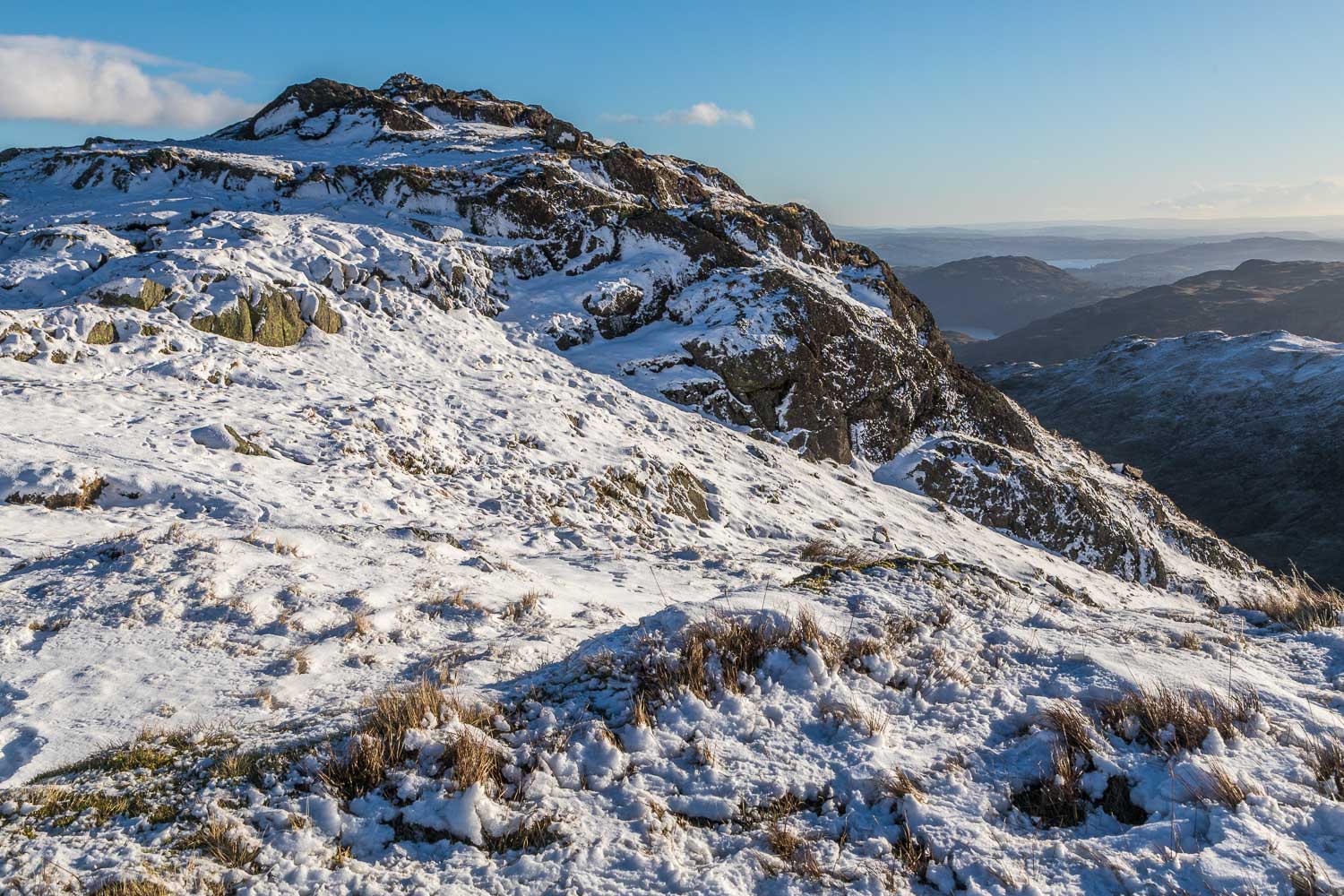
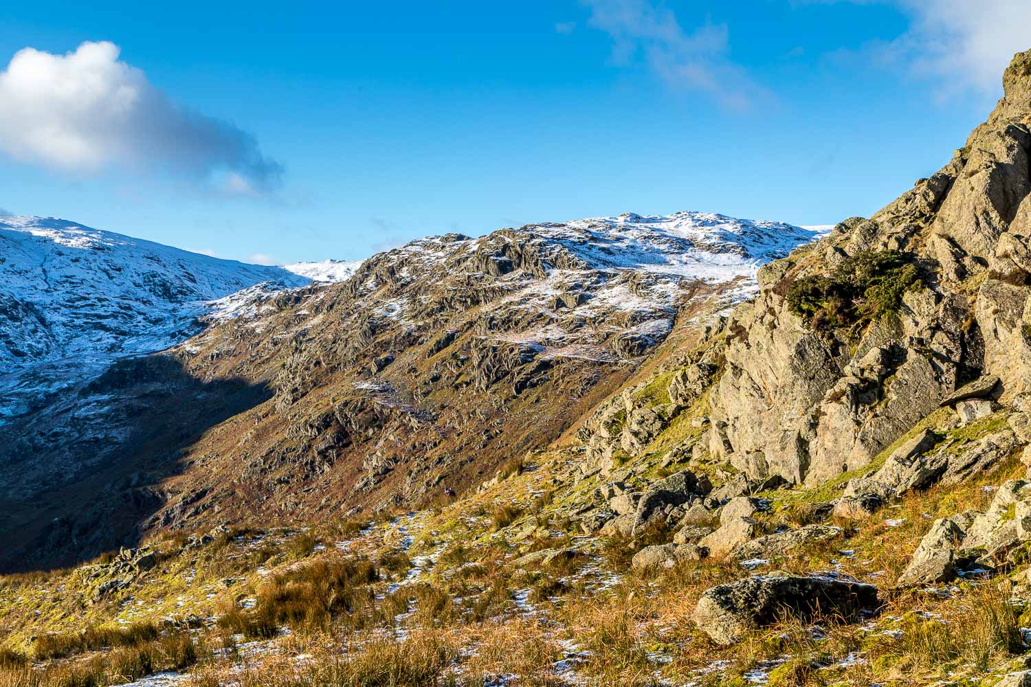
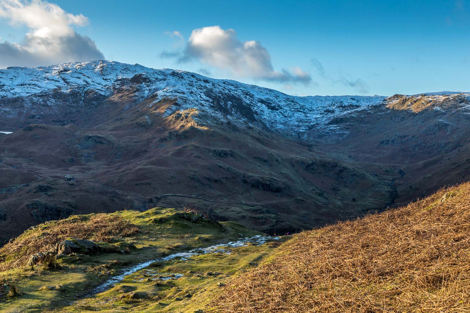
A rocky section near the top - our return route will be along the ridge of Gibson Knott in the foreground
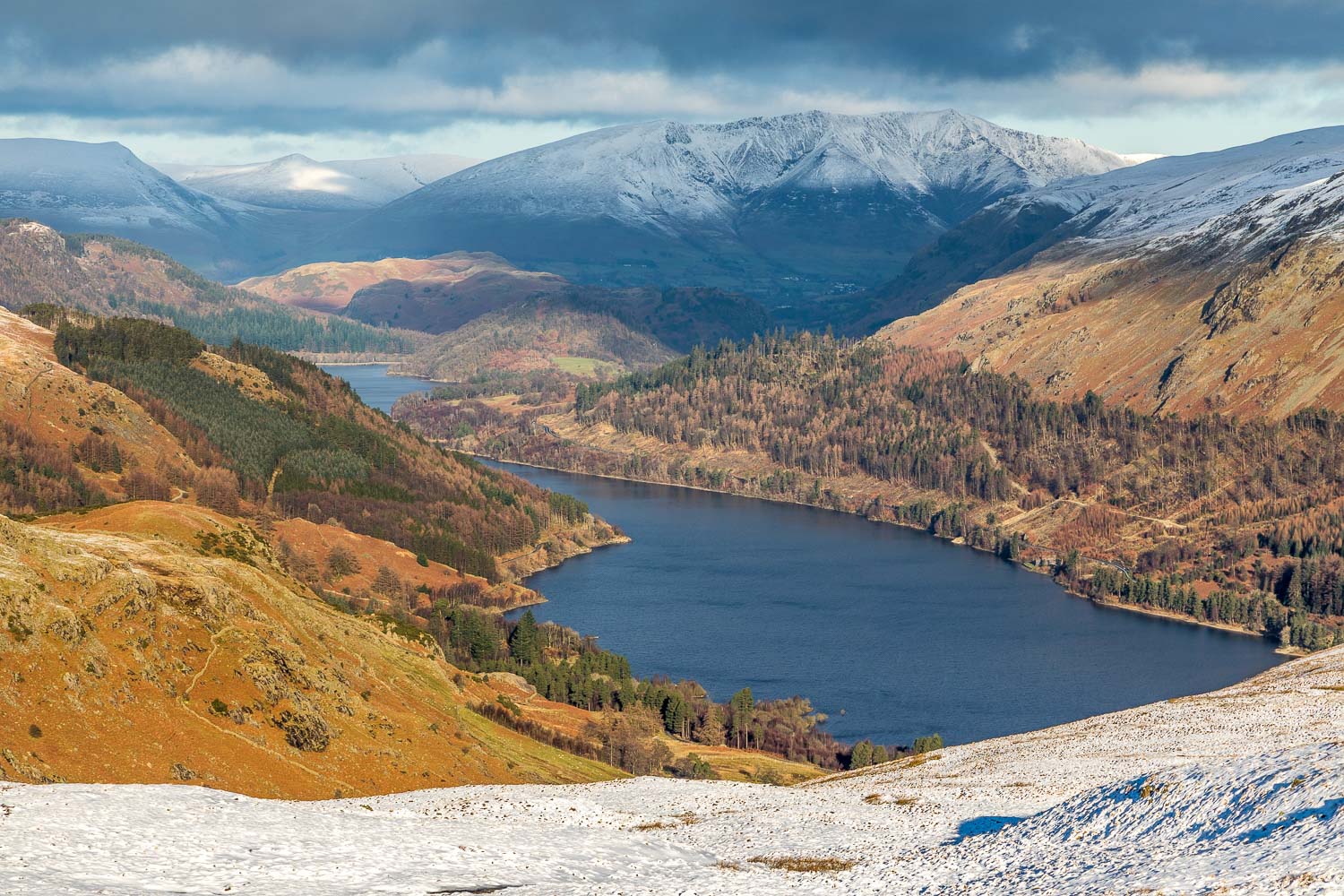
Thirlmere - it's hard to believe that anyone could conceive of installing 8 zip wires across it and hopefully the planners will reject the application
