Route: Thirlmere
Area: Central Lake District
Date of walk: 20th December 2017
Walkers: Andrew
Distance: 1.9 miles
Ascent: 300 feet
Weather: Low cloud and mist, clearing later
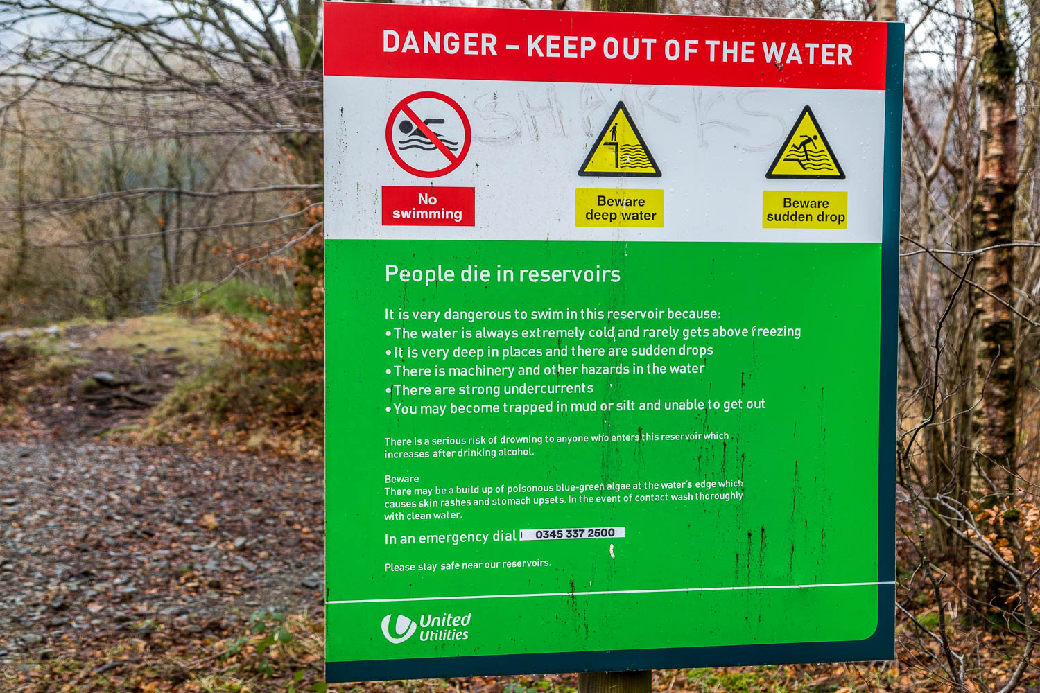
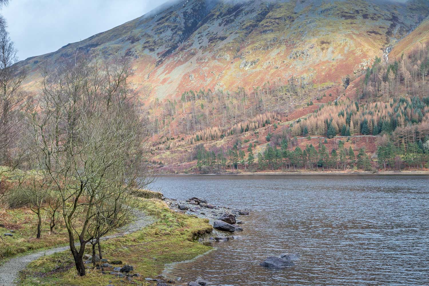
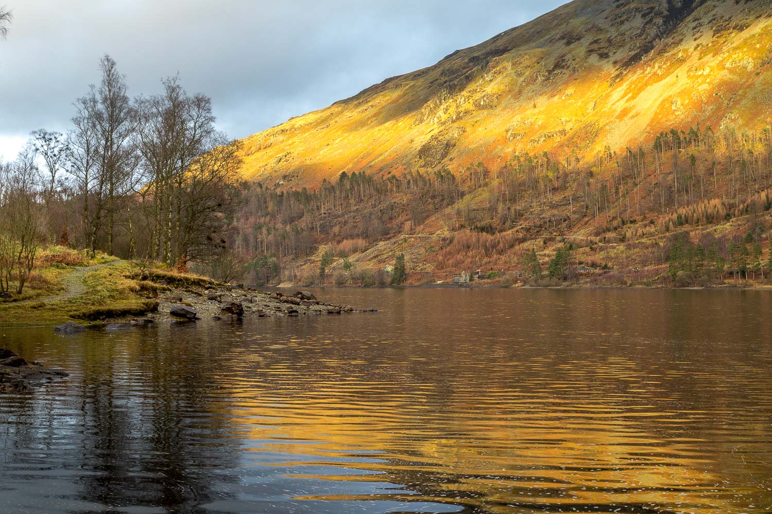
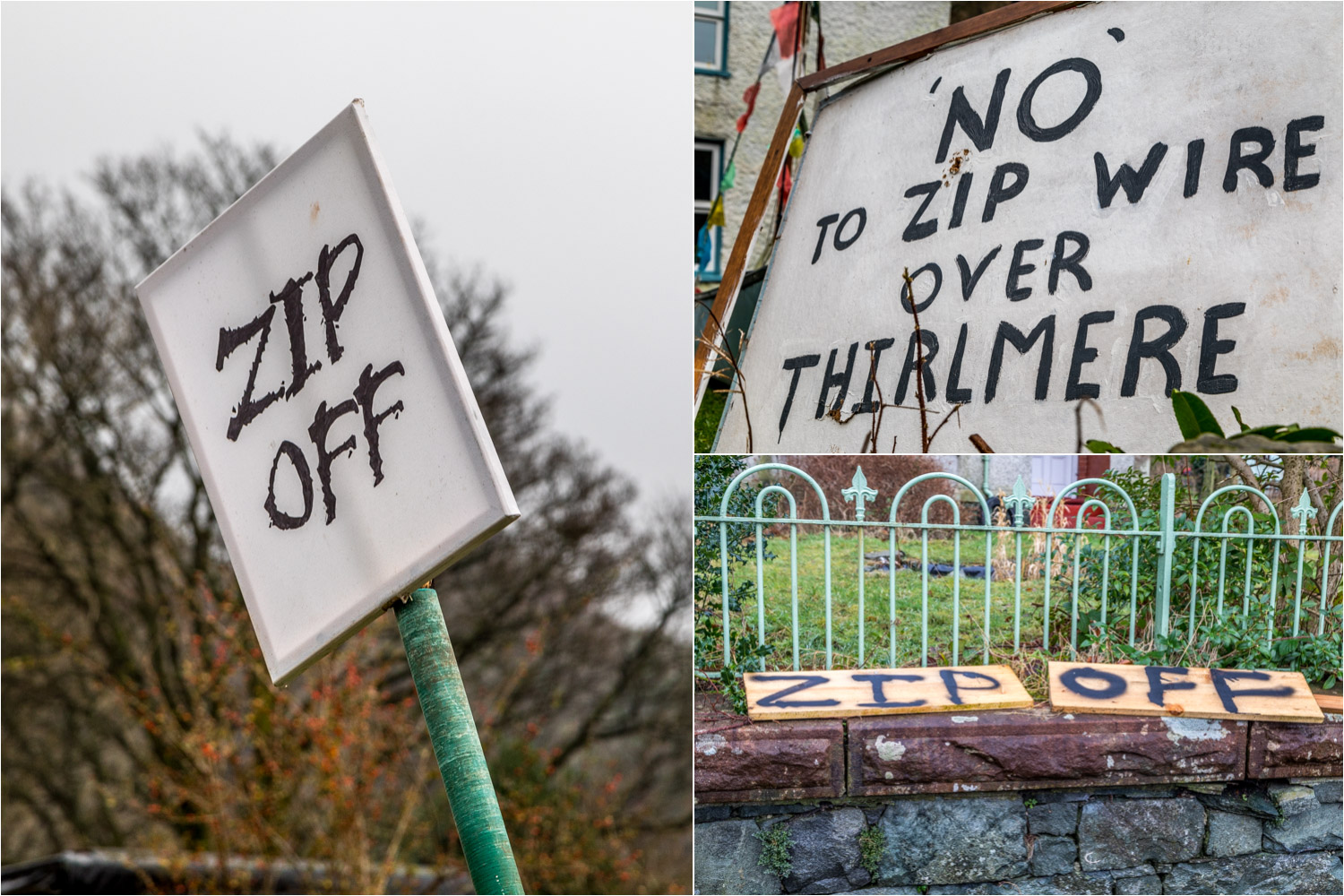
About 3 months ago I’d enjoyed a lovely walk along the shore of Thirlmere (click here for it), and was keen to revisit the area not only to admire its beauty once again, but to raise awareness of the fact that Thirlmere has attracted the attentions of the developers and is under grave threat from their ambitions. Plans have been submitted for a ‘Thirlmere Activity Hub’ part of which involves the installation of 8 zip wires from one side of the lake (which is technically a reservoir) to the other. I’m not alone in taking the view that this is a dreadful idea, given that Thirlmere is in the National Park and part of a World Heritage Site. There are surely less sensitive areas where thrill seekers can be accommodated. Full details of the scheme may be found at Friends of the Lake District where you will also see how to formally object to the proposals if you feel as I do about them – note that the deadline for objections is 2nd January
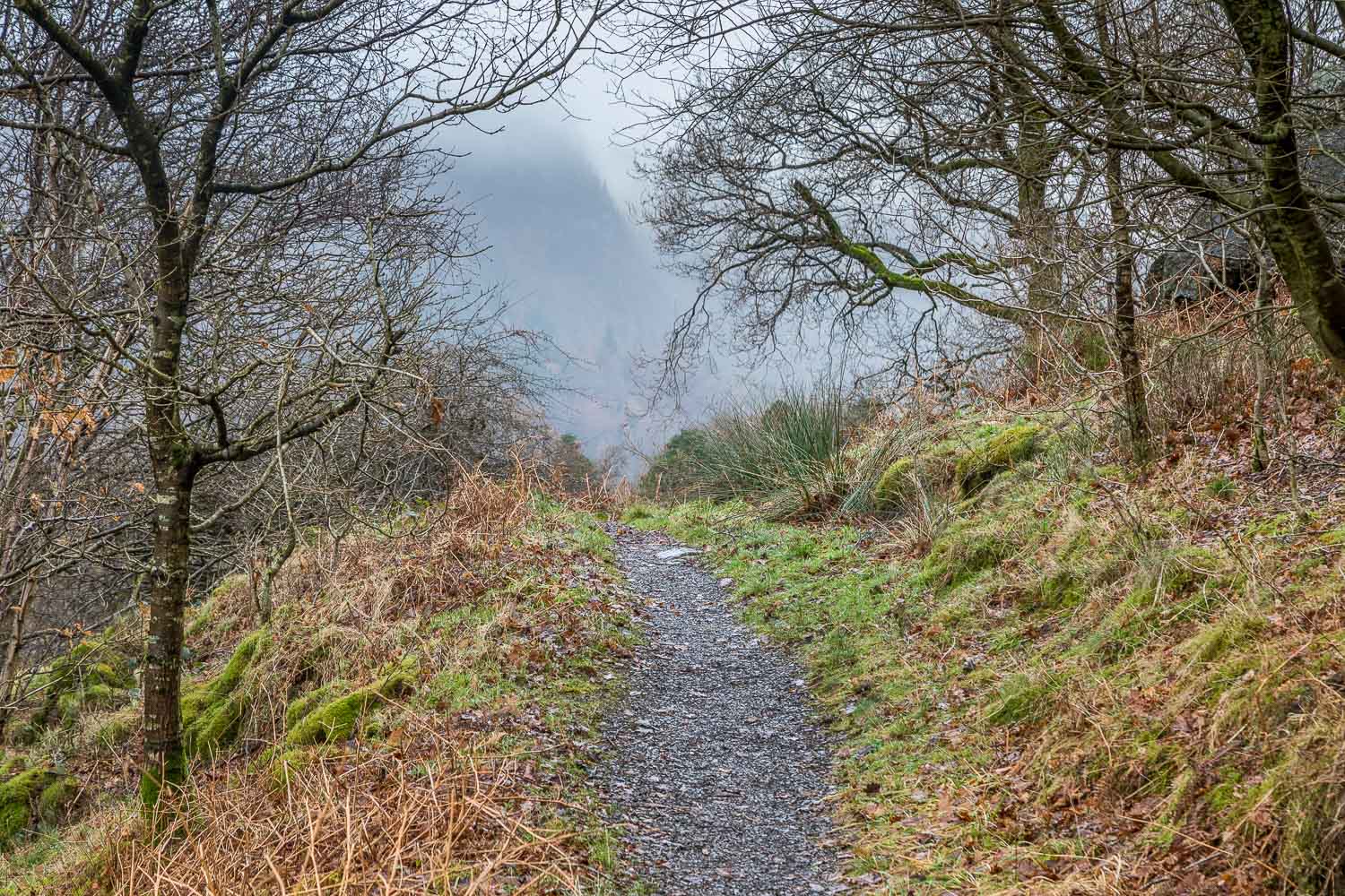
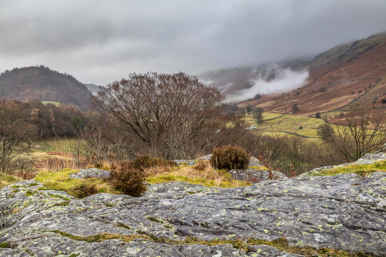
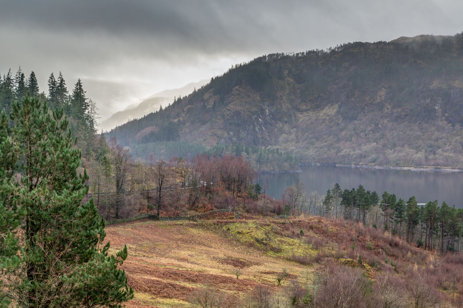
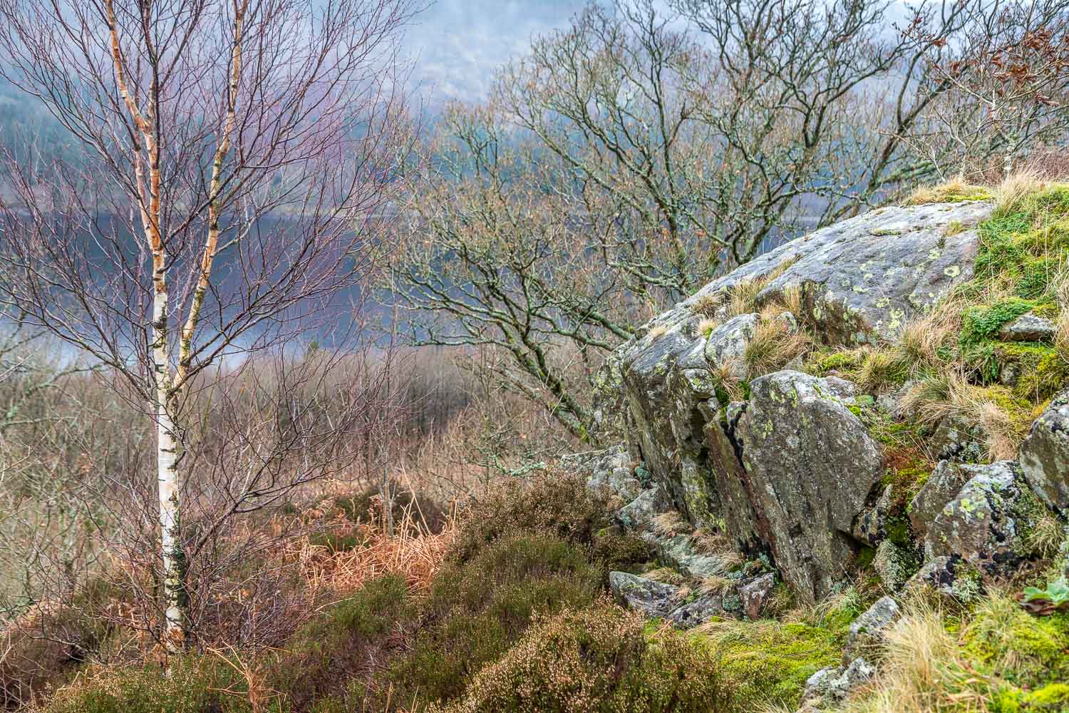
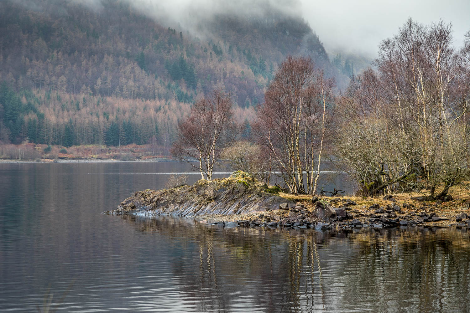
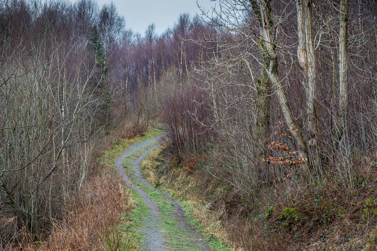
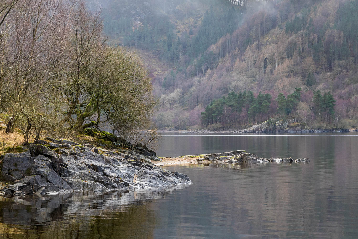
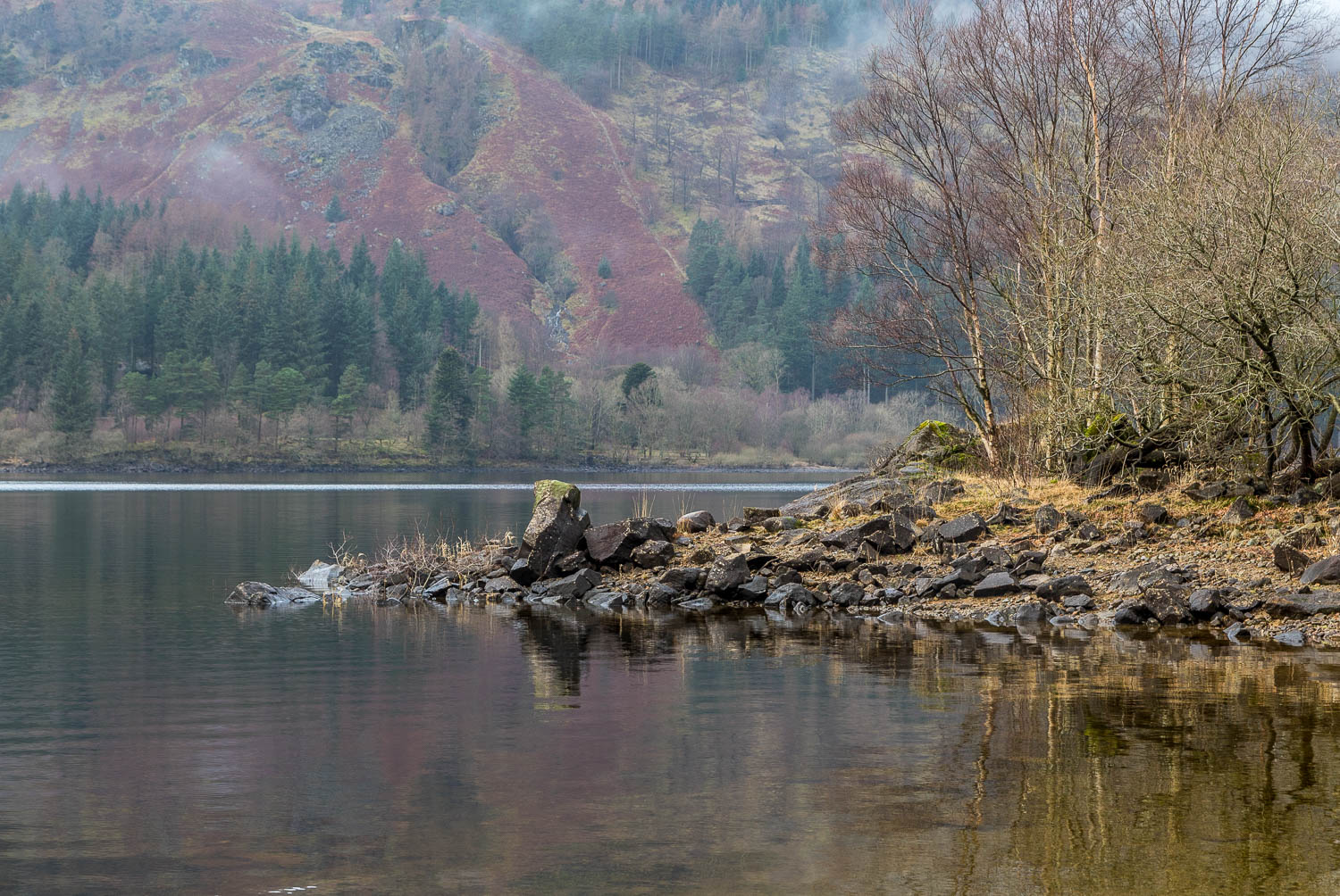
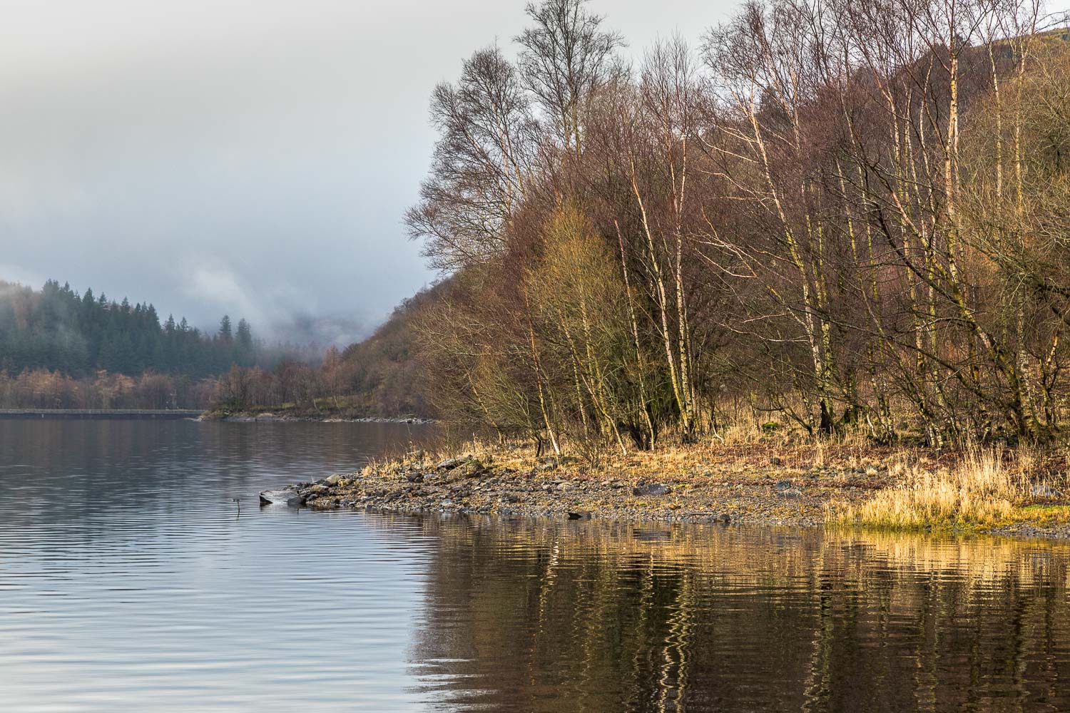
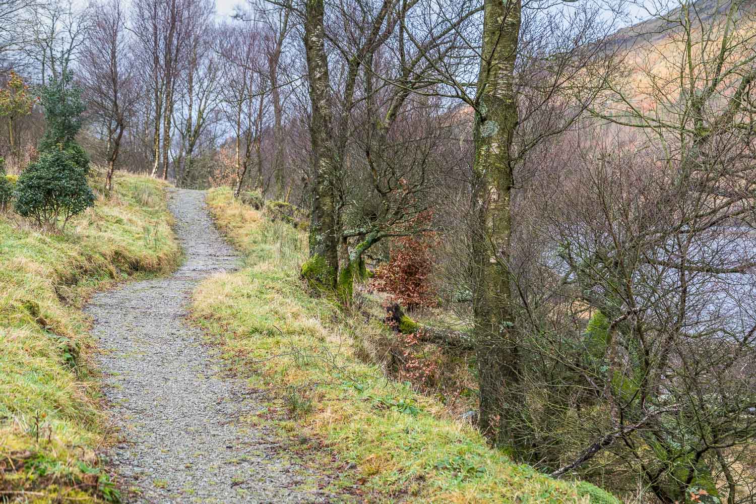
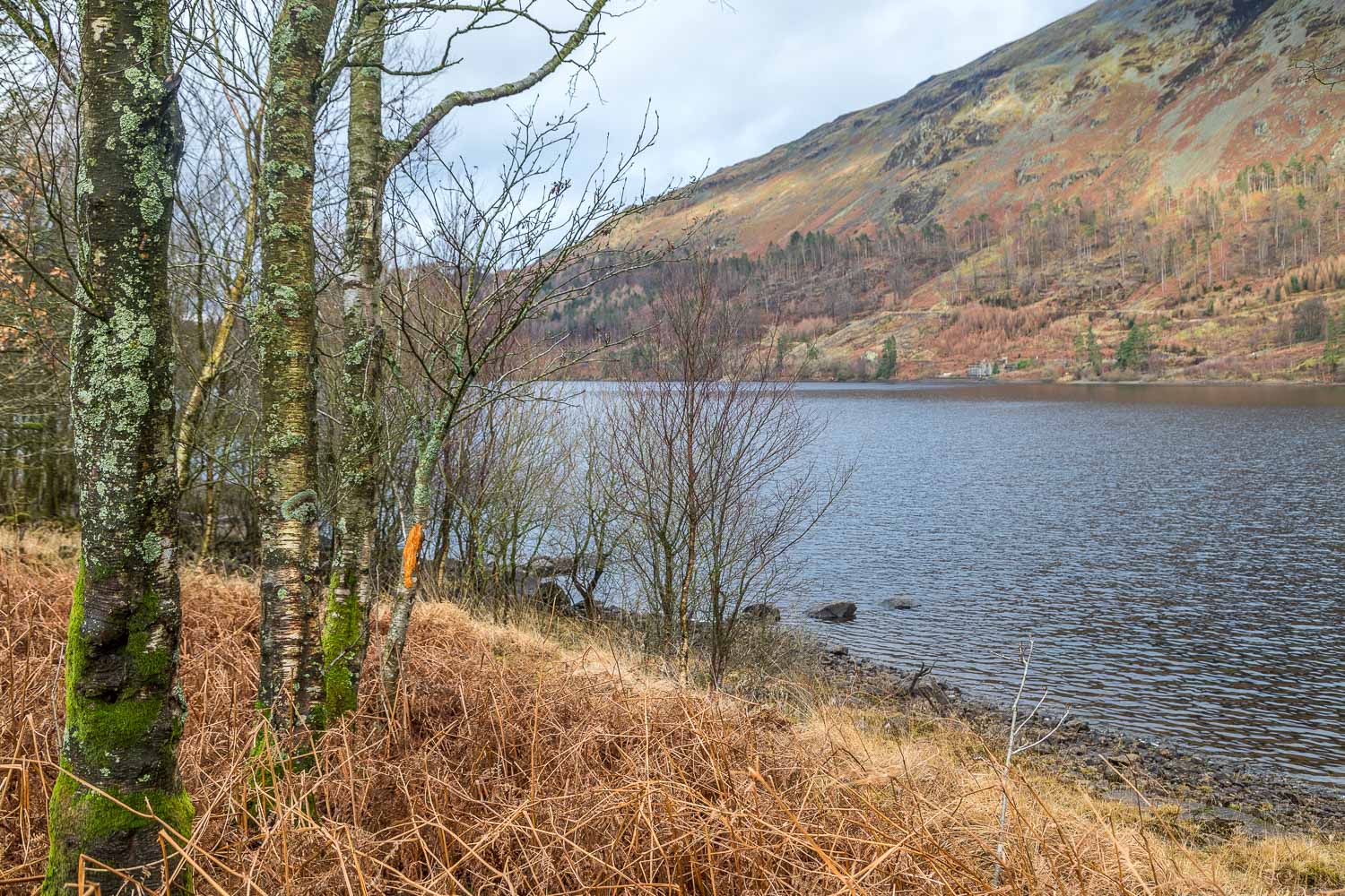
Today’s short walk started on the eastern shore of Thirlmere and, after parking at the Station Coppice car park near Swirls, I set off on a short circular walk to a nearby rocky viewpoint. The views in truth were rather lacking today thanks to low lying cloud and mist. I descended from the viewpoint back to the start and then made a ‘there and back’ walk to the shoreline. After enjoying some peace and quiet by the water’s edge and, reflecting for a while on how this would be shattered by the noise of the zip wire above, I returned to the car. I feel great sadness that if the application presently under consideration is passed I will feel unable to return to this place
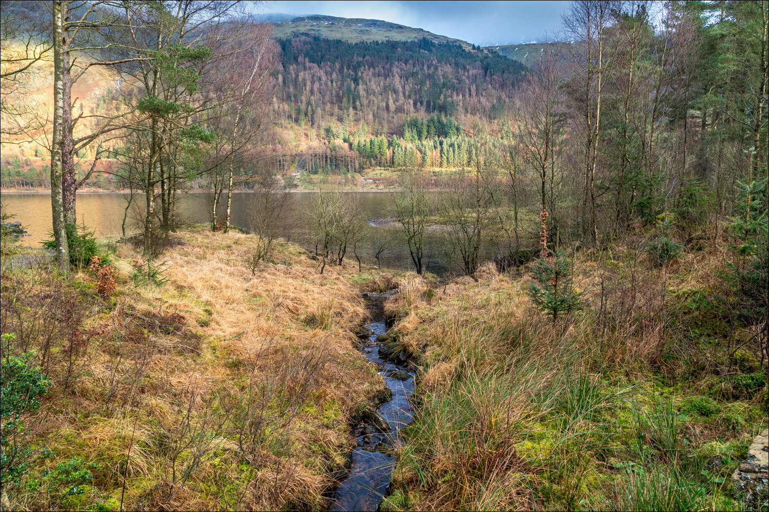
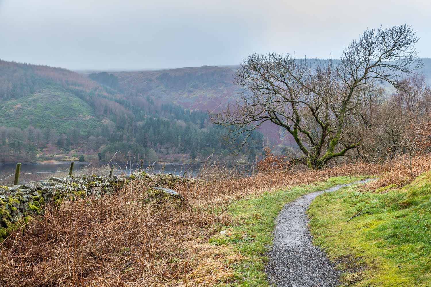
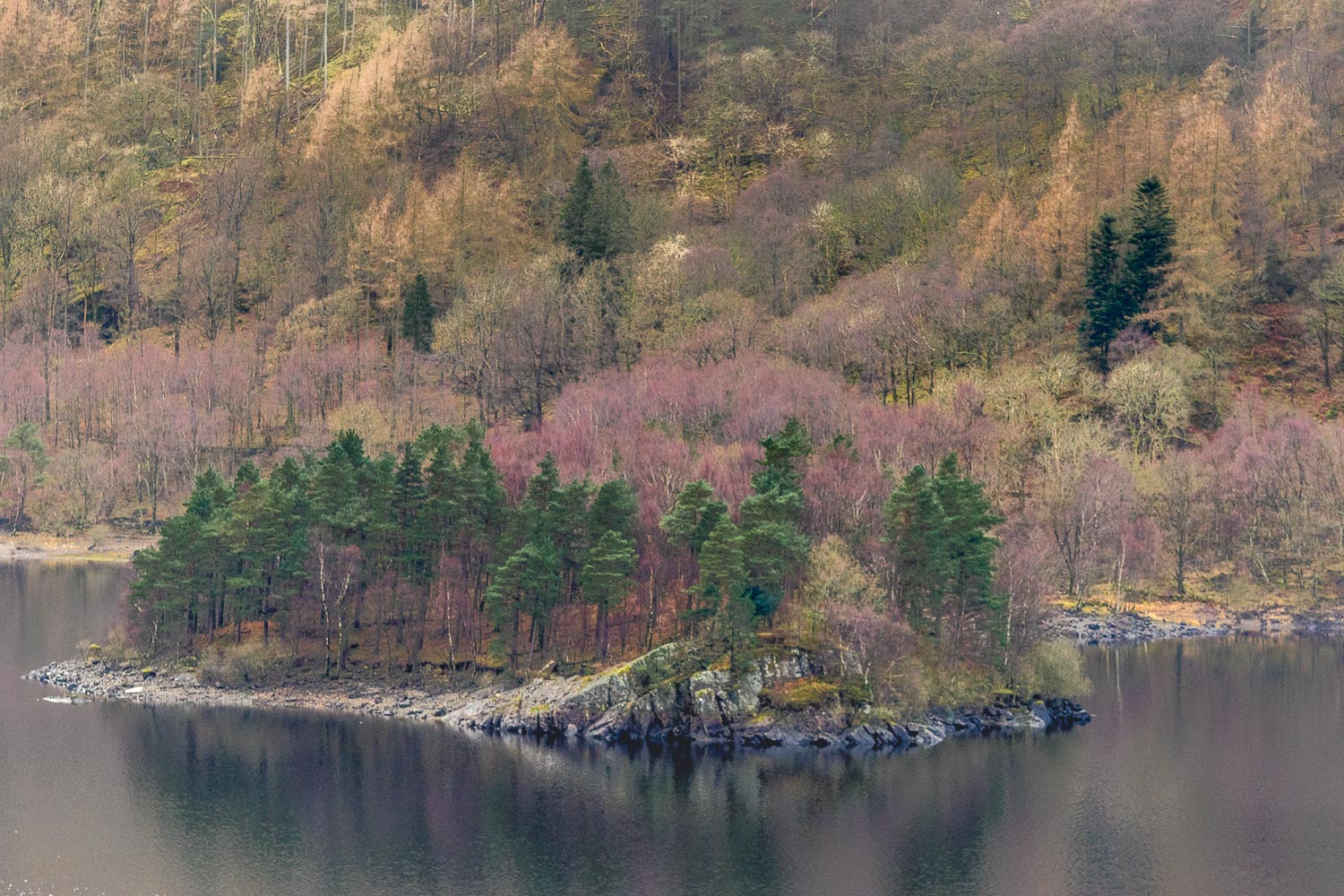
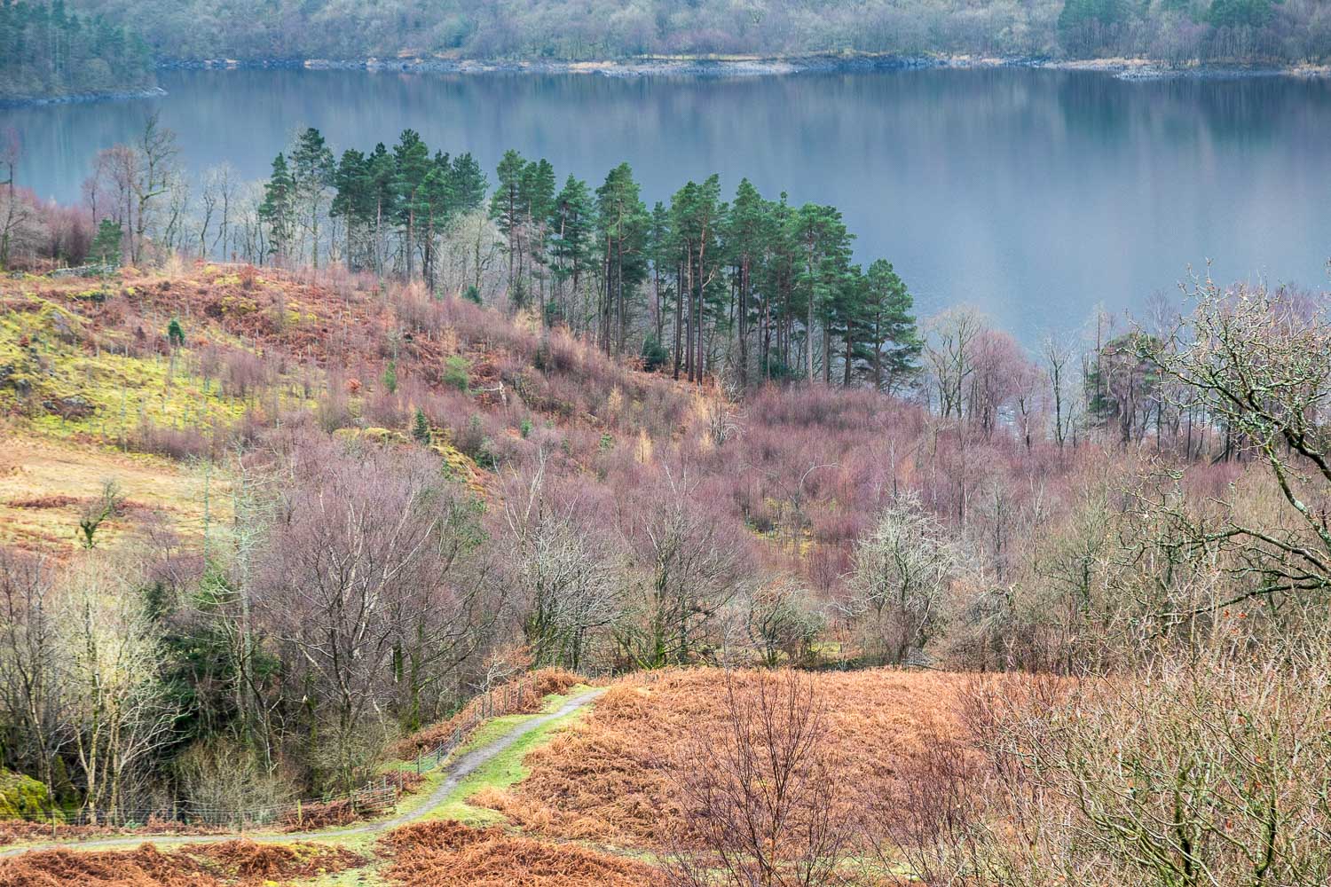
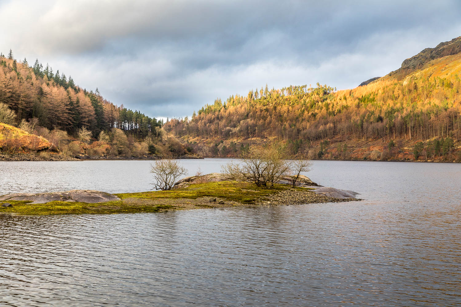
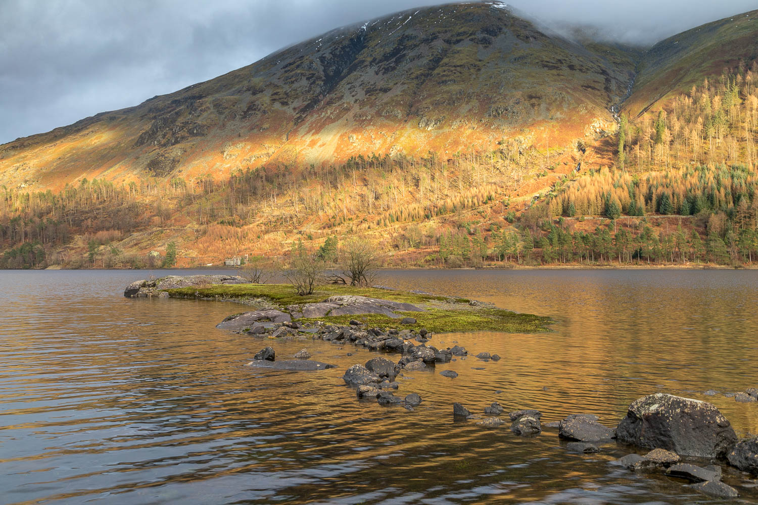
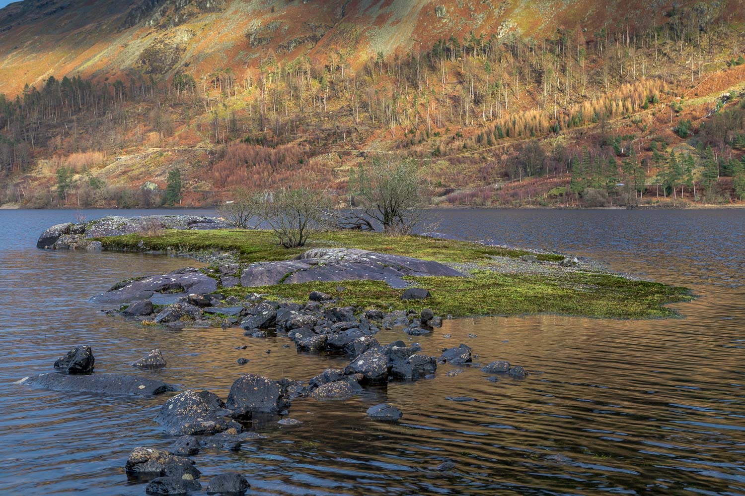
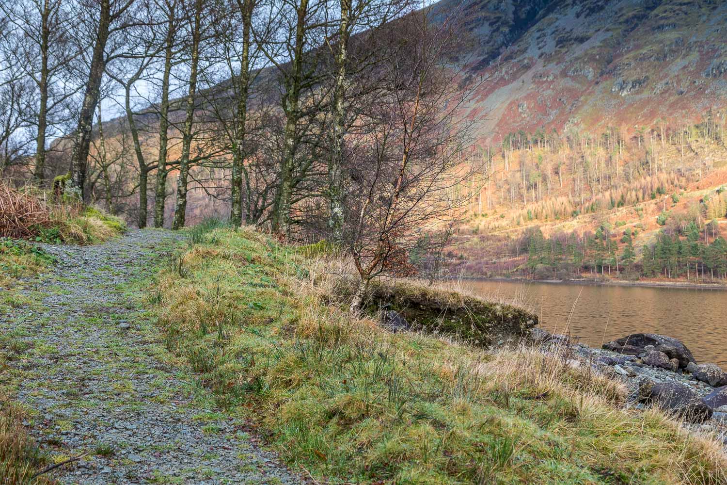
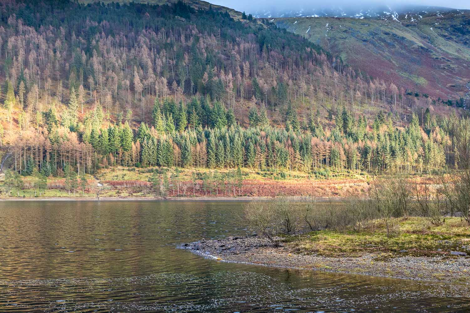
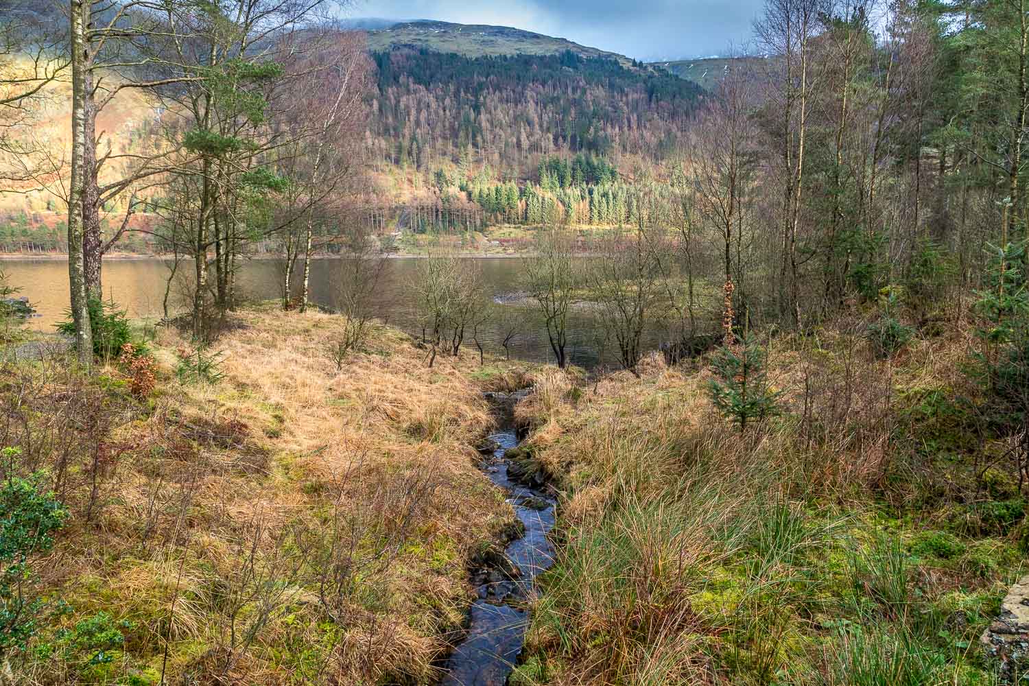
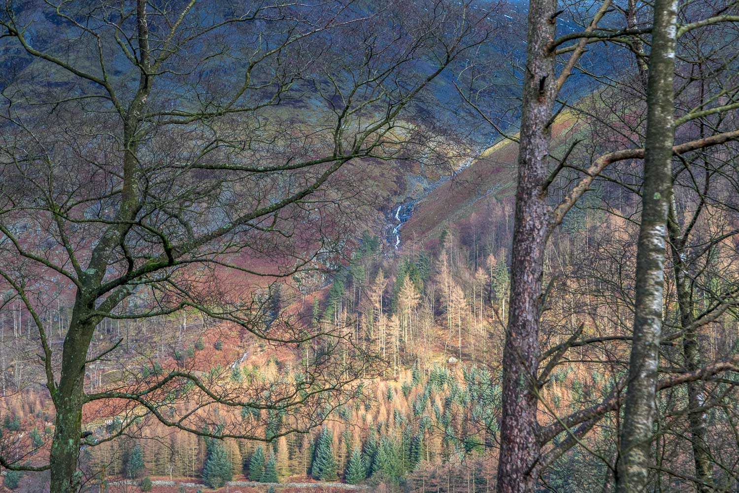
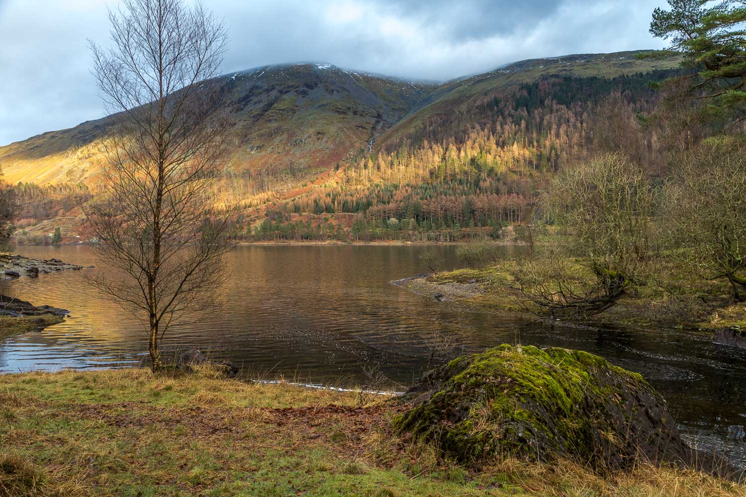
I hope that the photos which follow which show why I’m opposed to the proposal to develop this lovely landscape
Postscript: the plan for the proposed development was subsequently withdrawn in February 2018
For other walks here, visit my Find Walks page and enter the name in the ‘Search site’ box
Click on the icon below for the route map (subscribers to OS Maps can view detailed maps of the route, visualise it in aerial 3D, and download the GPX file. Non-subscribers will see a base map)
Scroll down – or click on any photo to enlarge it and you can then view as a slideshow
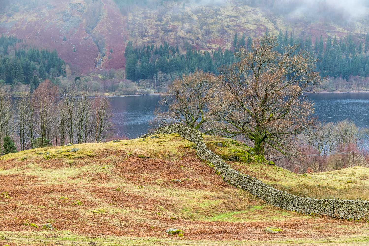
Thirlmere is 3.5 miles long, 1.2 miles wide and 158 feet deep. It was originally two smaller lakes, which were purchased by Manchester City Corporation Waterworks in 1889. The area was dammed and became one vast reservoir. In the process, the settlements of Armboth and Wythburn were submerged, the only remaining building being the church at Wythburn
