Route: Thirlmere
Area: Central Lake District
Date of walk: 29th September 2017
Walkers: Andrew and Gilly
Distance: 5.1 miles
Ascent: 800 feet
Weather: Mixed cloud and sun
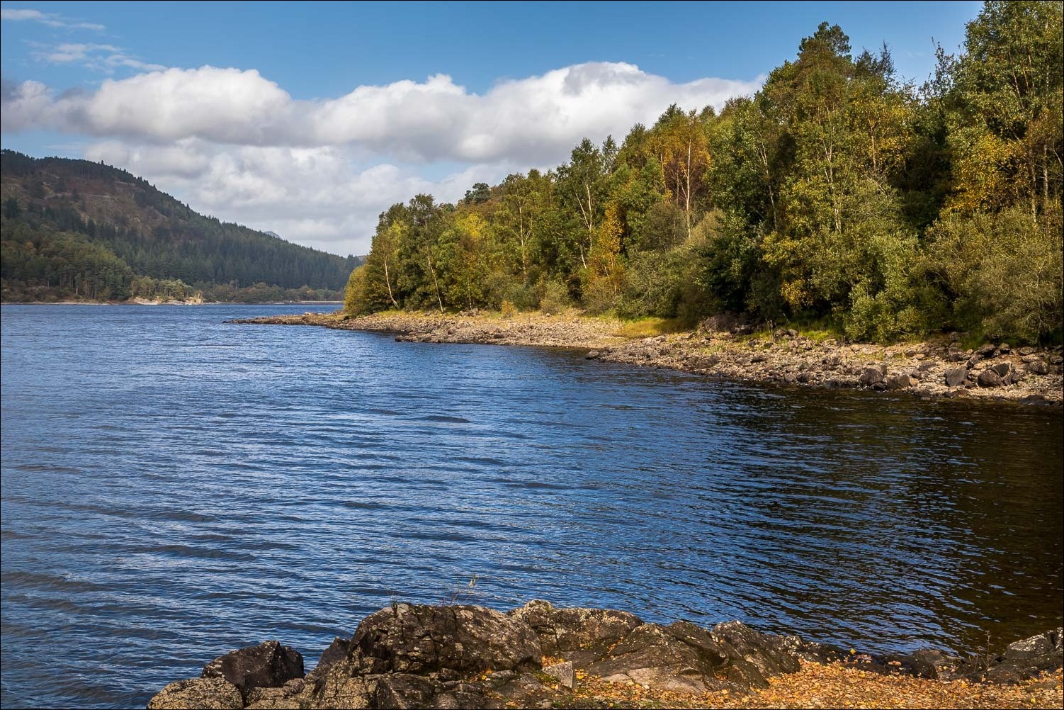
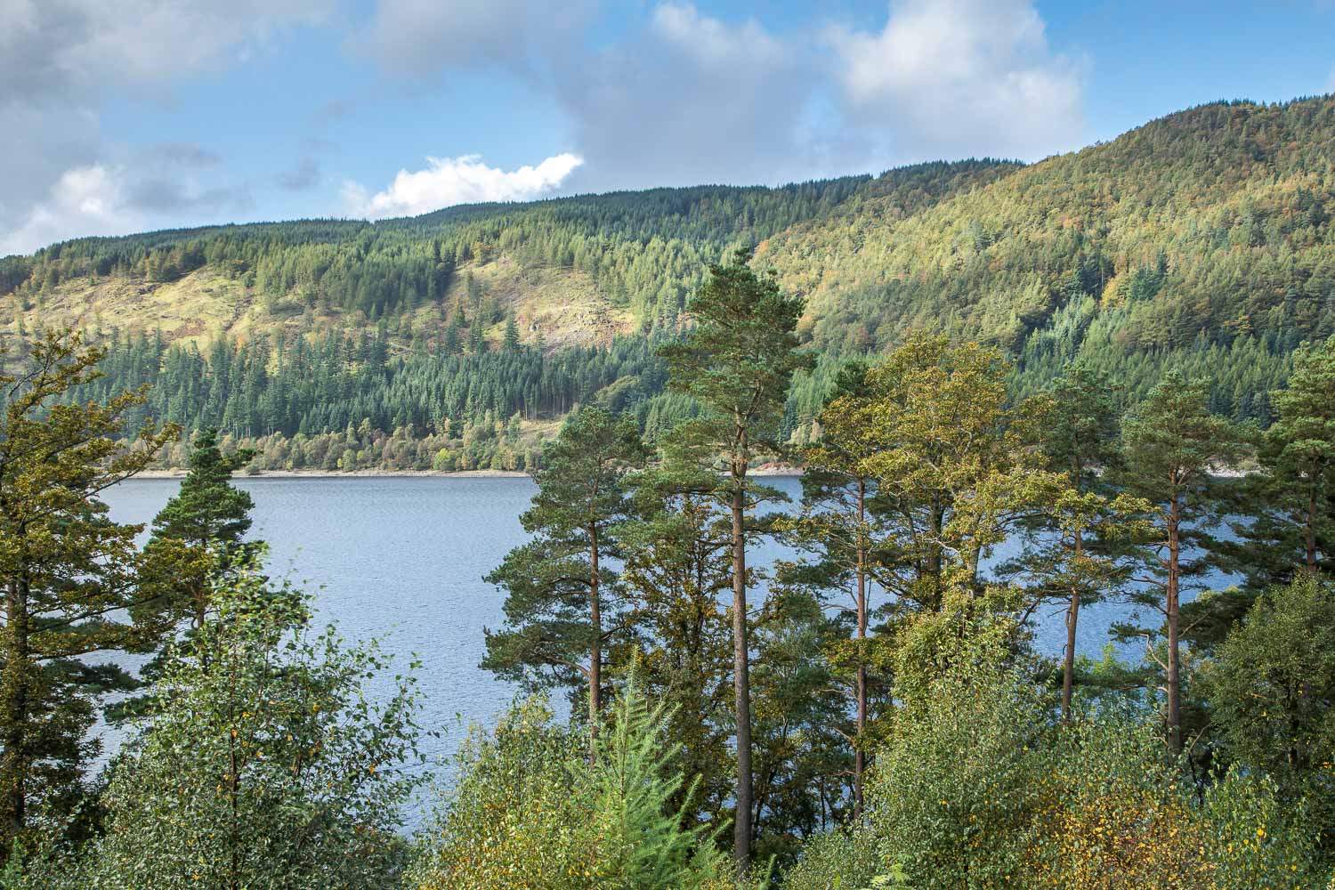
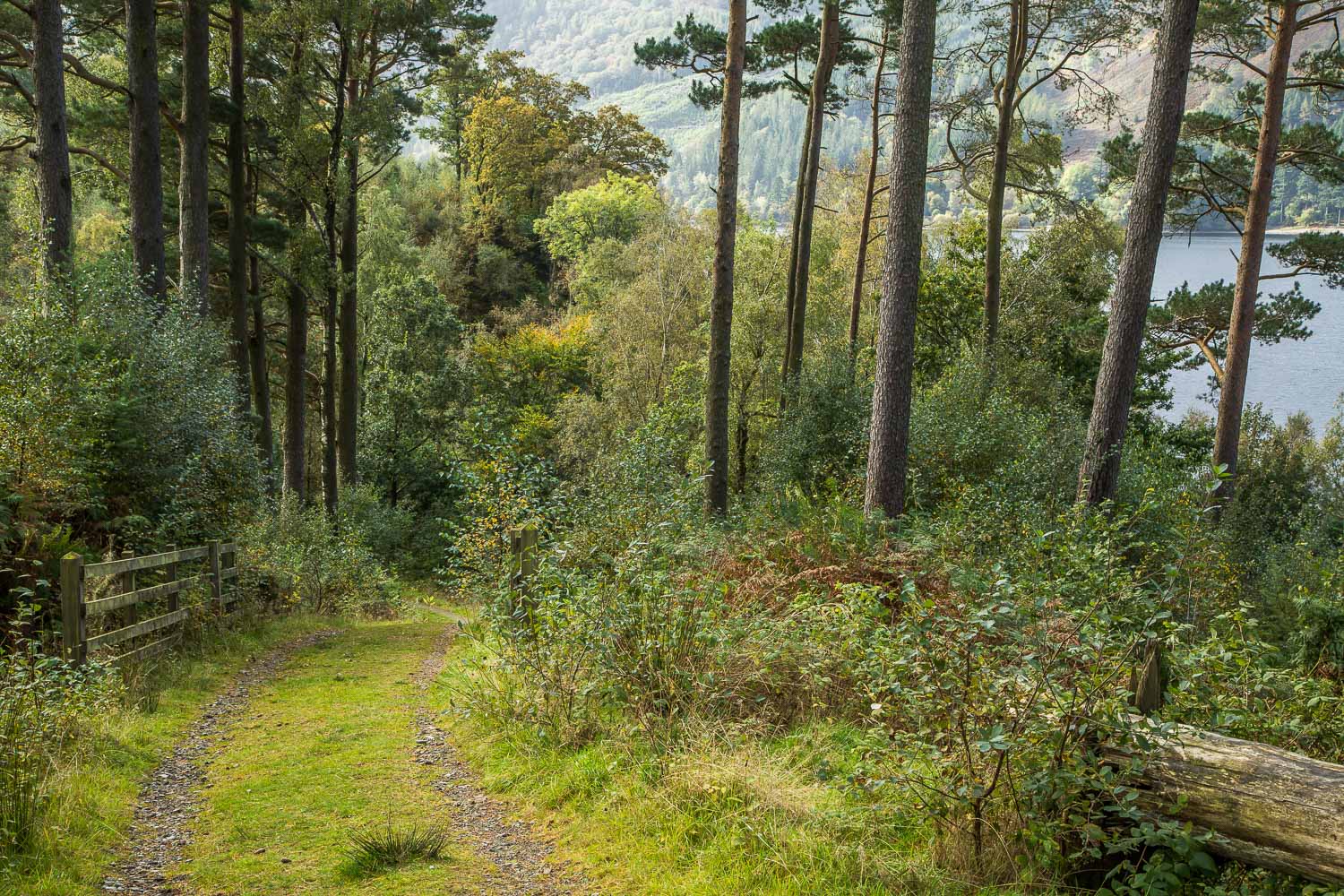
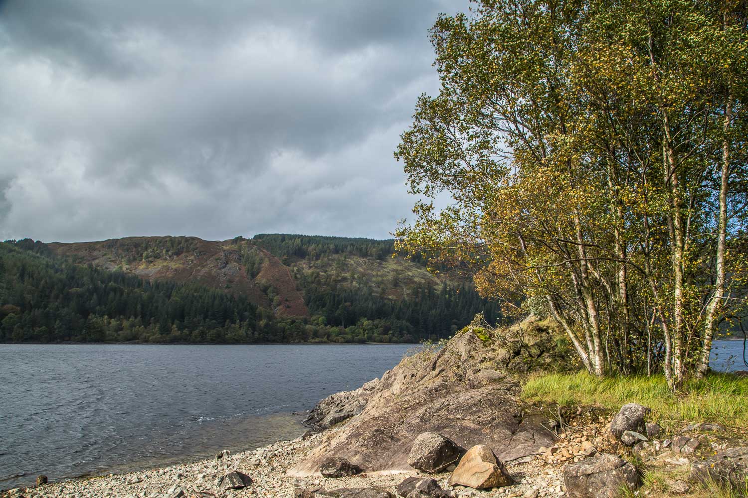
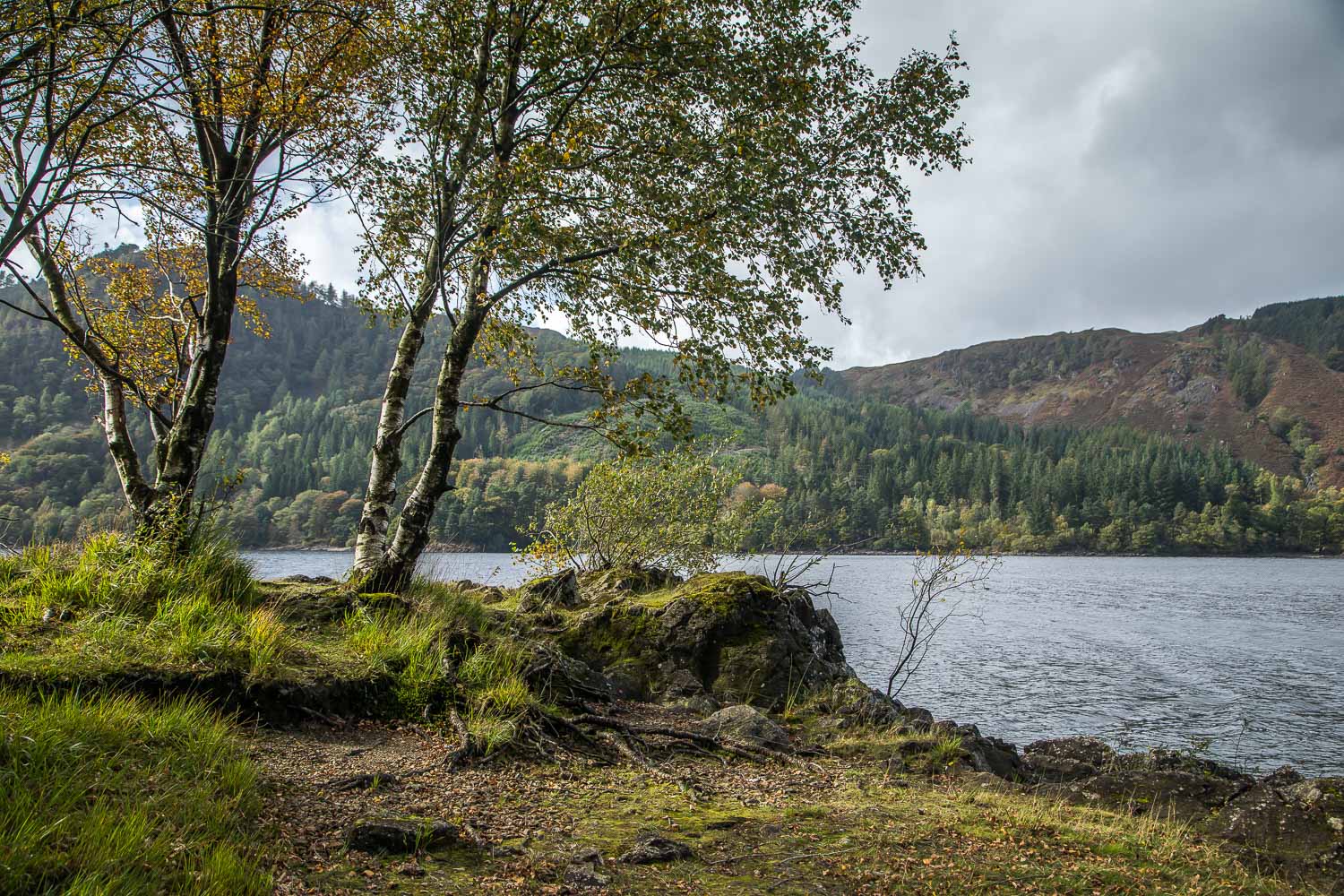
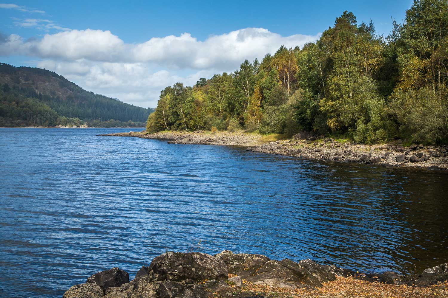
Thirlmere is a reservoir, created in 1894 when the area was dammed and flooded, drowning two villages in the process – Armboth and Wythburn. It now provides the city of Manchester with its water. The area is not a magnet for walkers, but deserves to be better recognised, as there is plenty of beauty to be enjoyed here
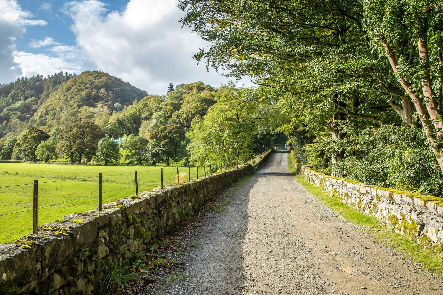
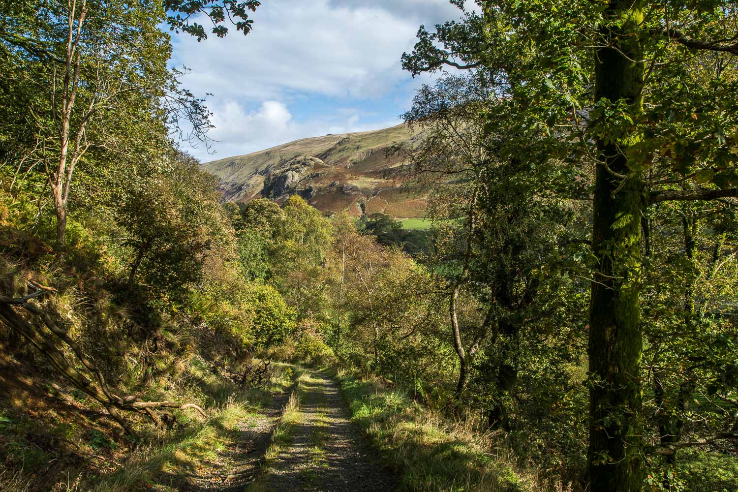
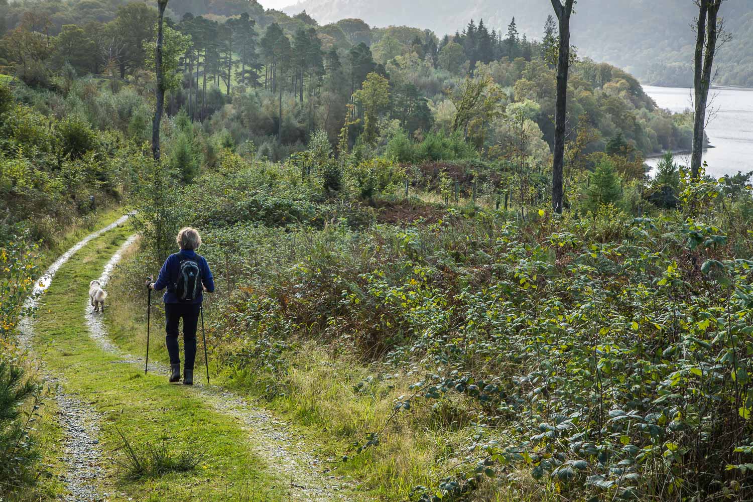
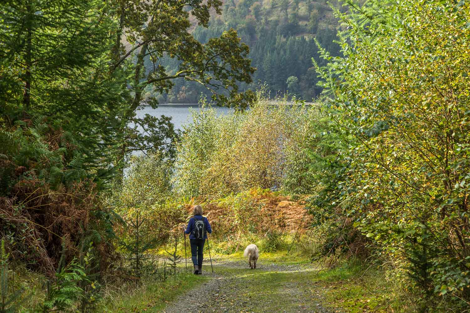
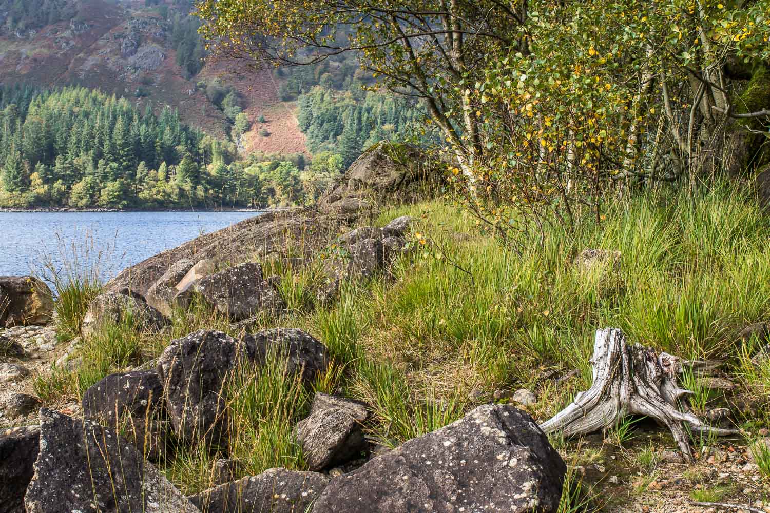
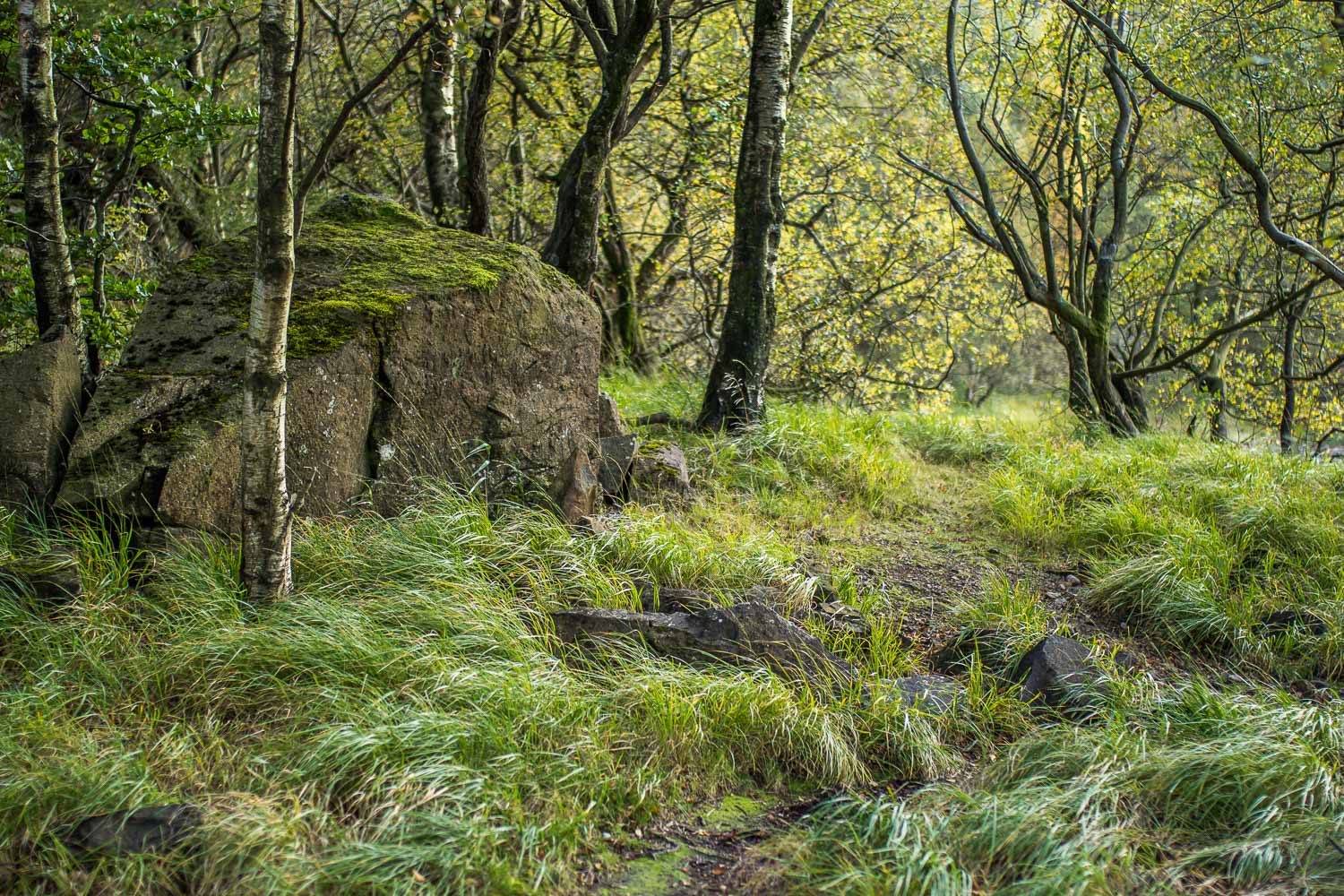
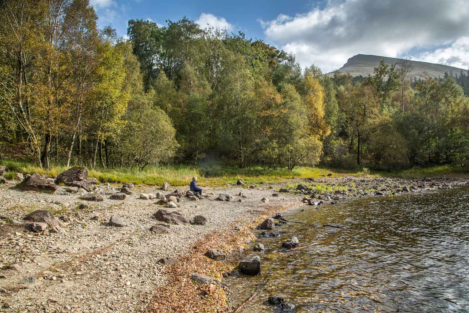
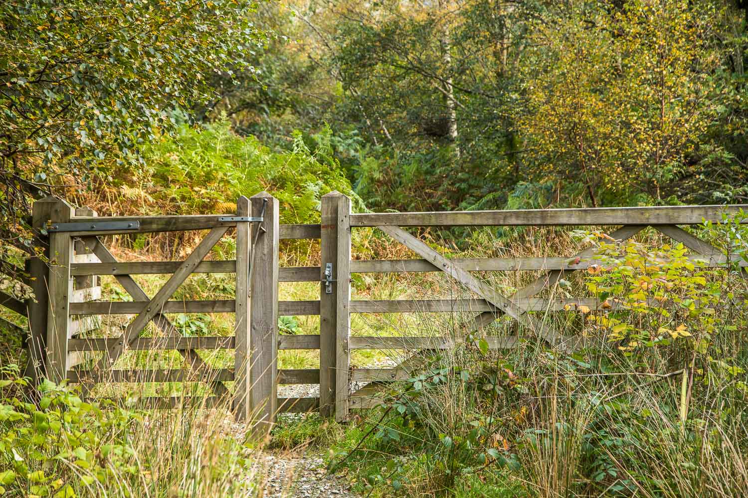
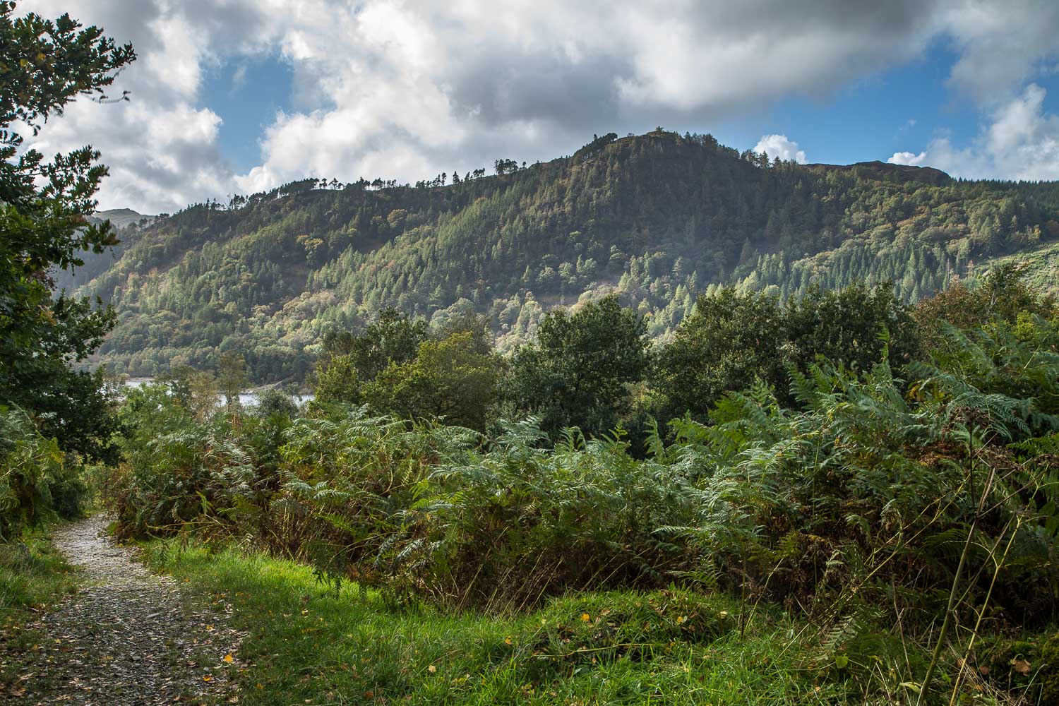
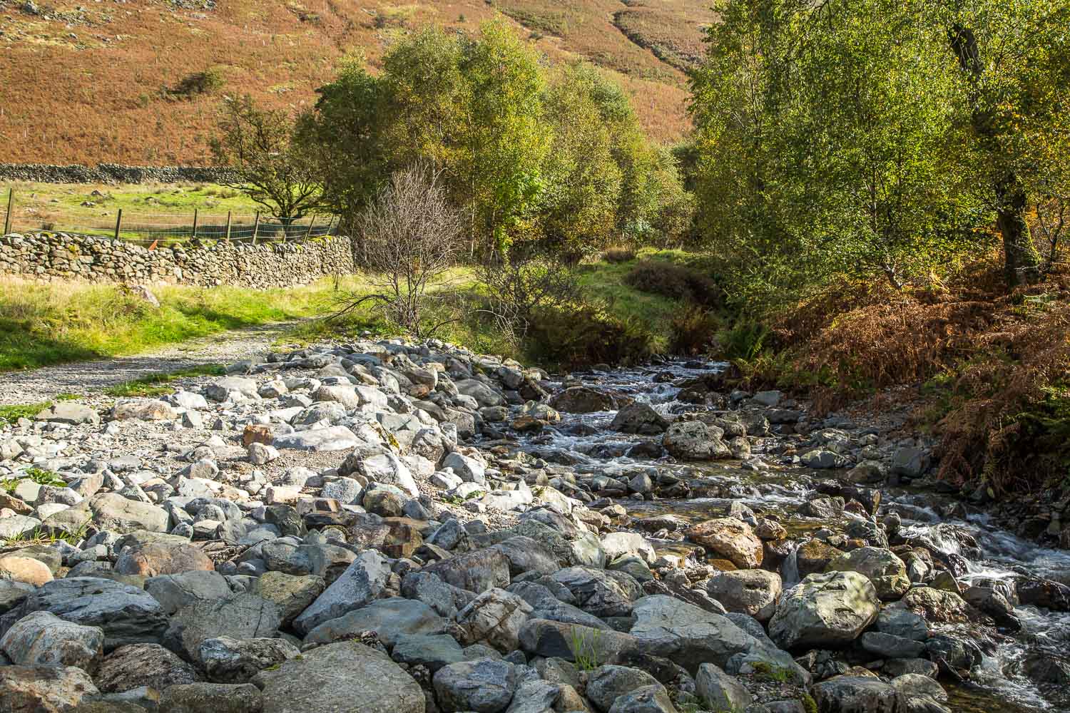
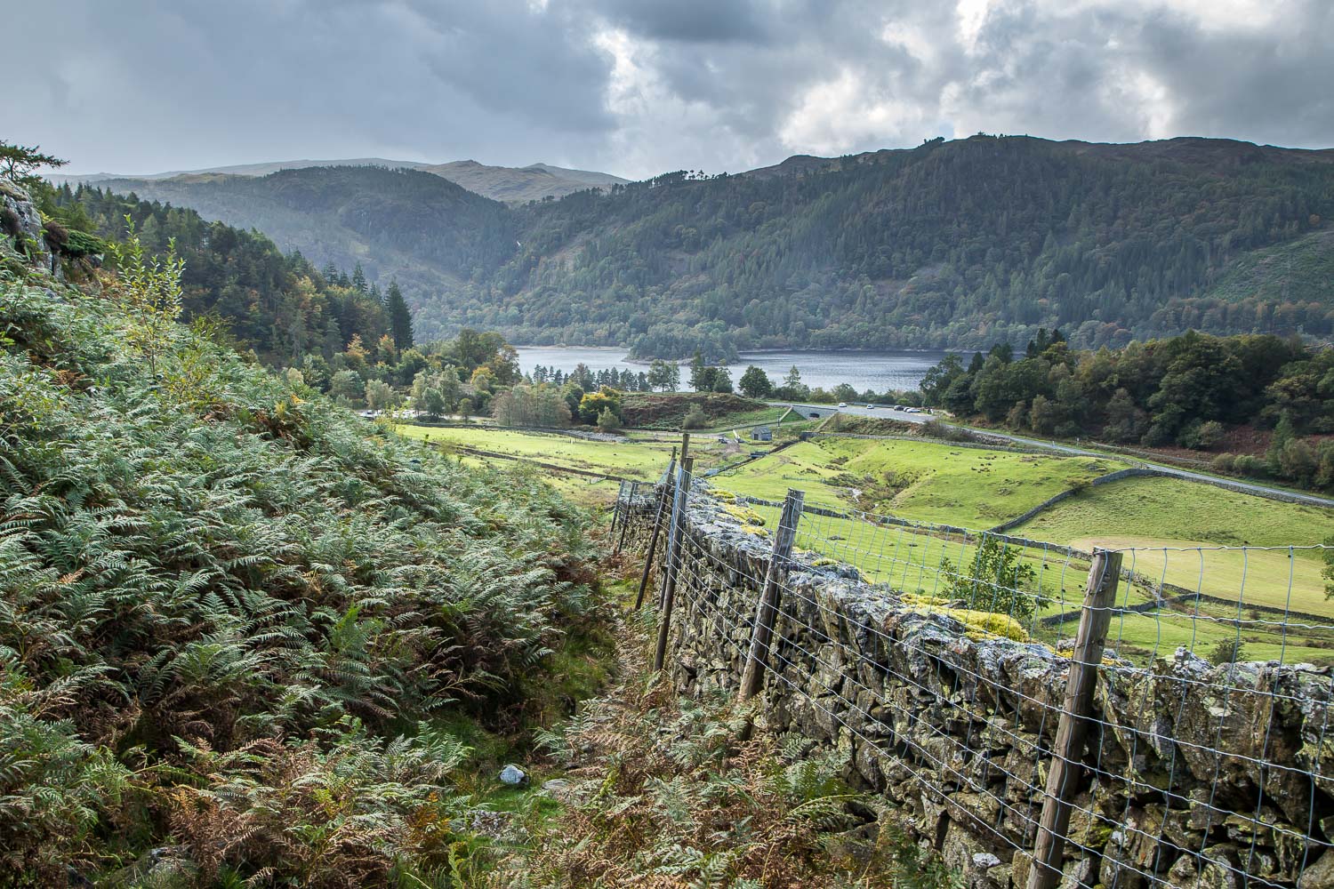
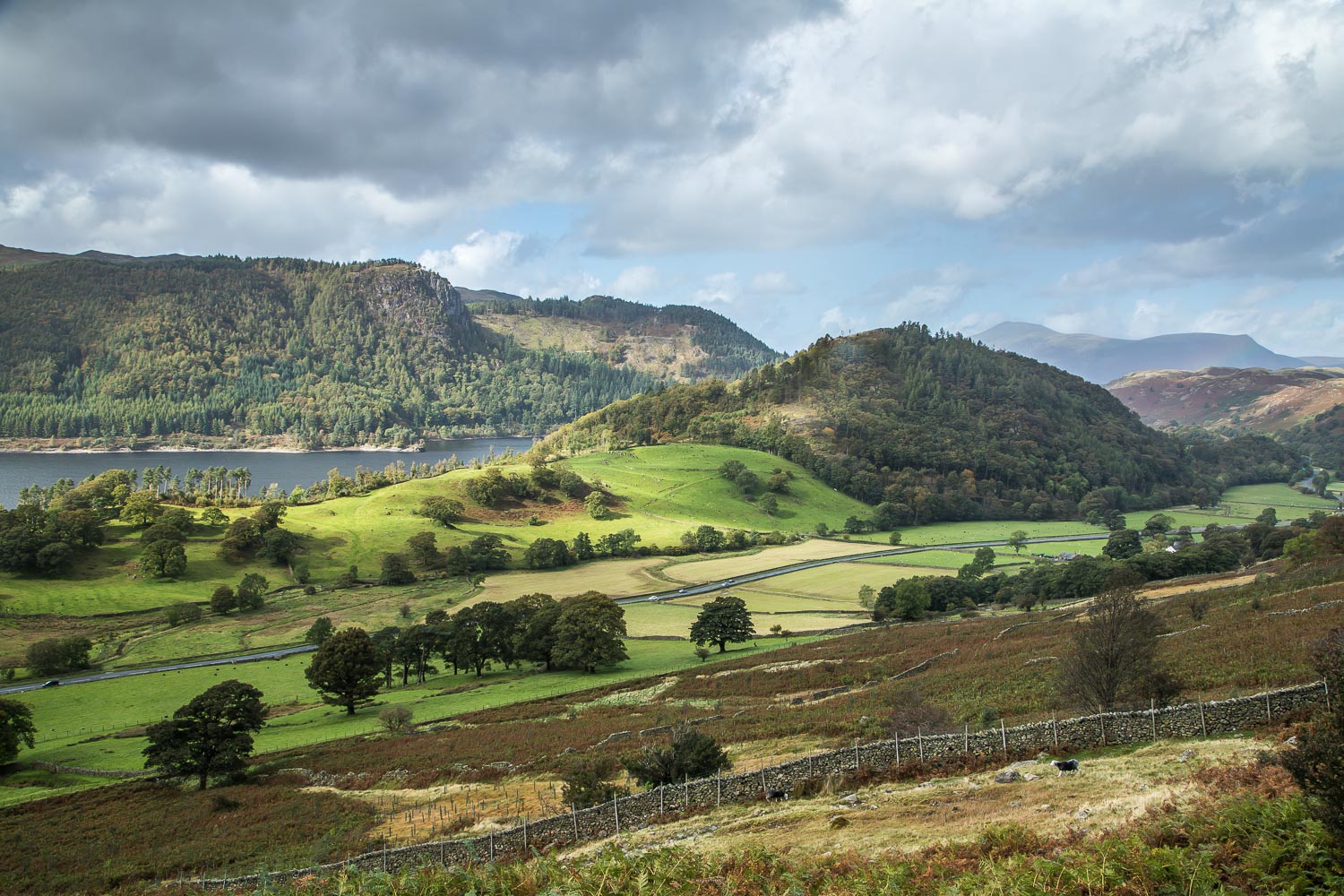
We parked in the public car park at Legburthwaite, near the foot of High Rigg, and walked along the track leading to the A591. We crossed the road and after a few yards joined a narrow permissive footpath beyond a gate. The path runs south, with How Beck on one side and Greathow Wood on the other, and at the end of the wood descends gently towards the shore of Thirlmere. We followed a narrow path close to the shore, and on a couple of occasions we diverted to the stony beach along the shoreline
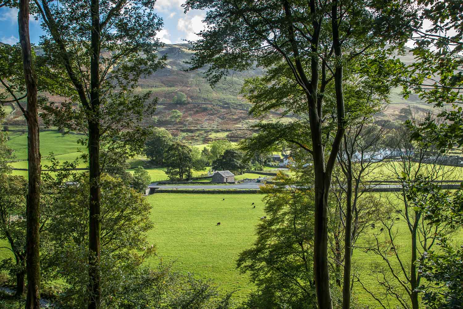
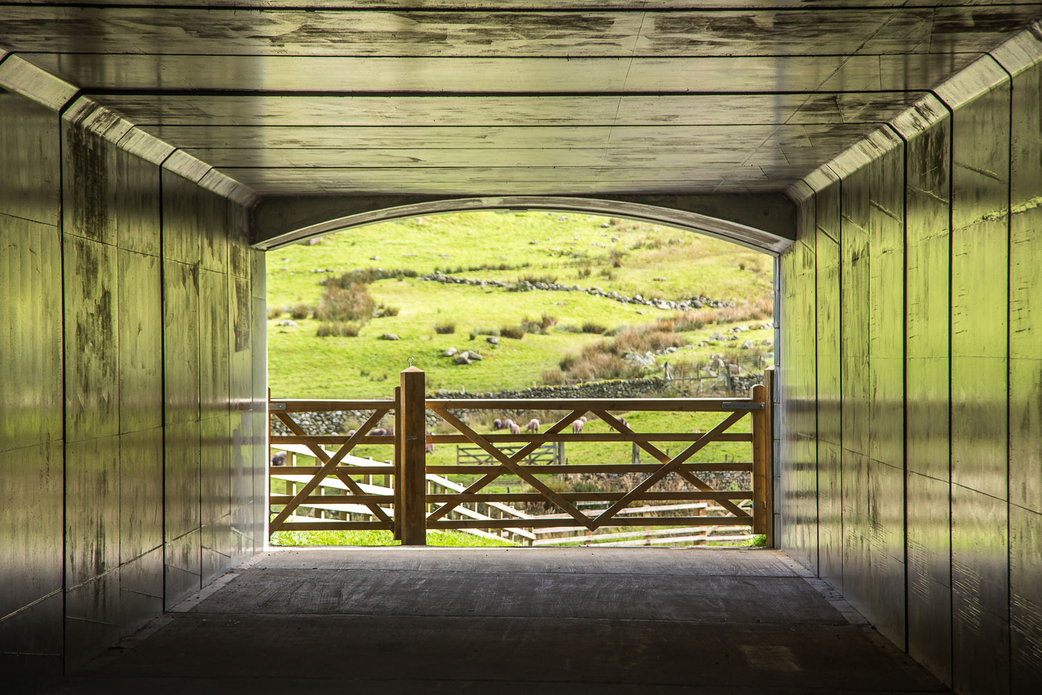
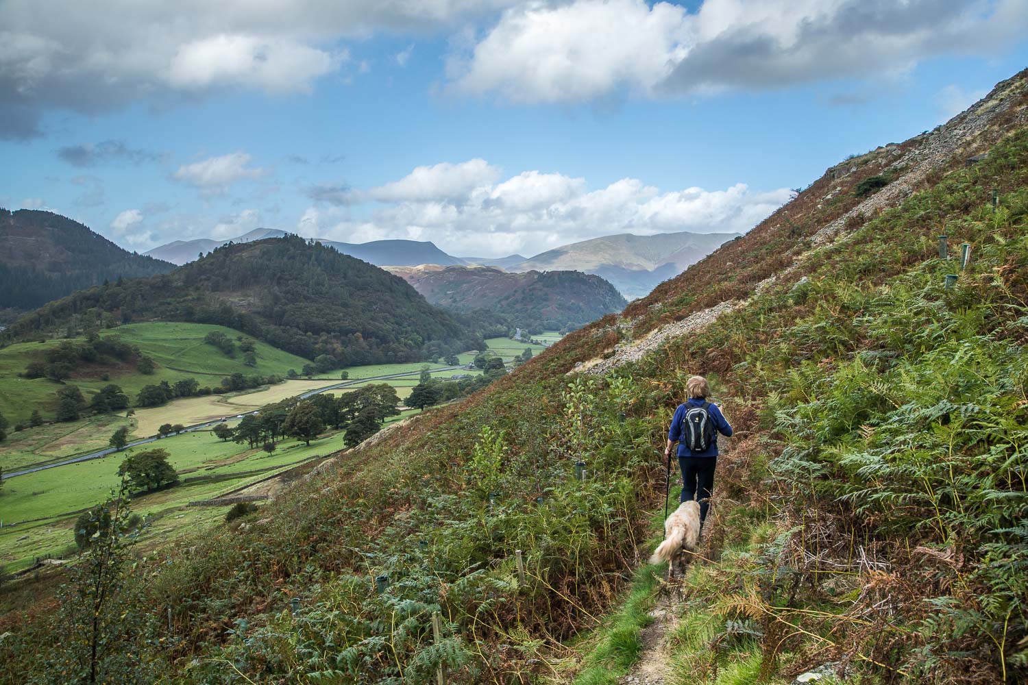
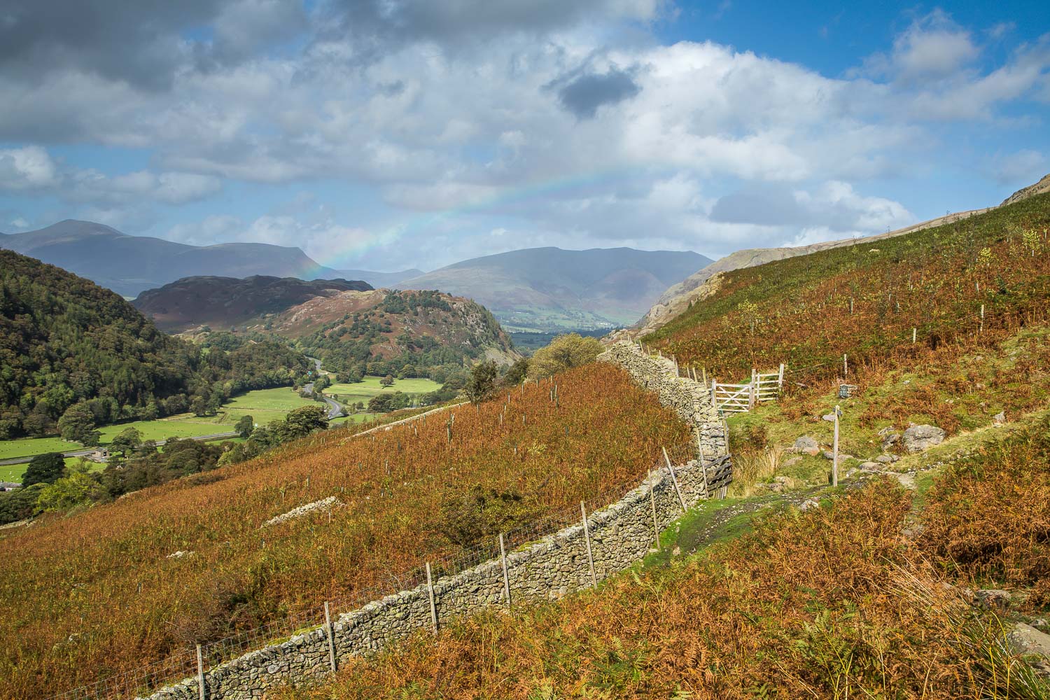
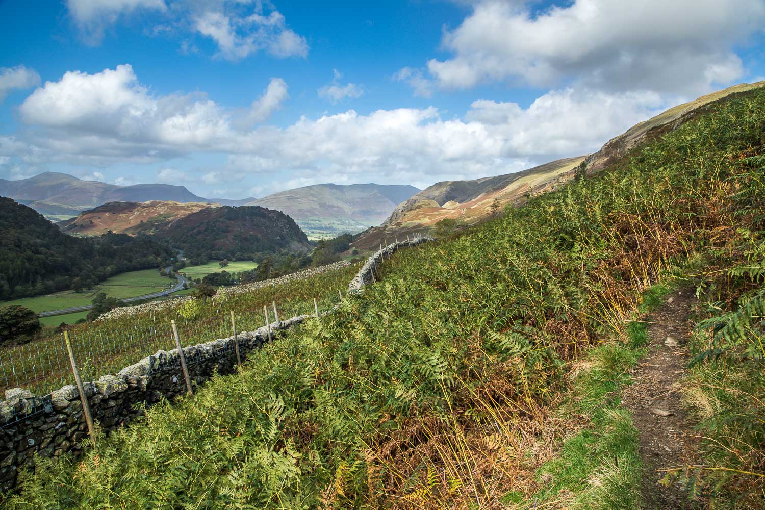
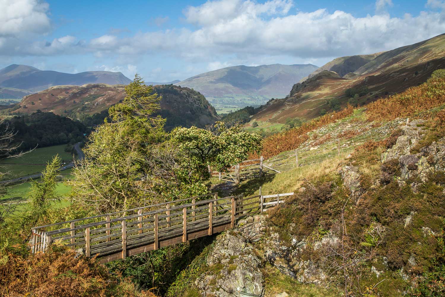
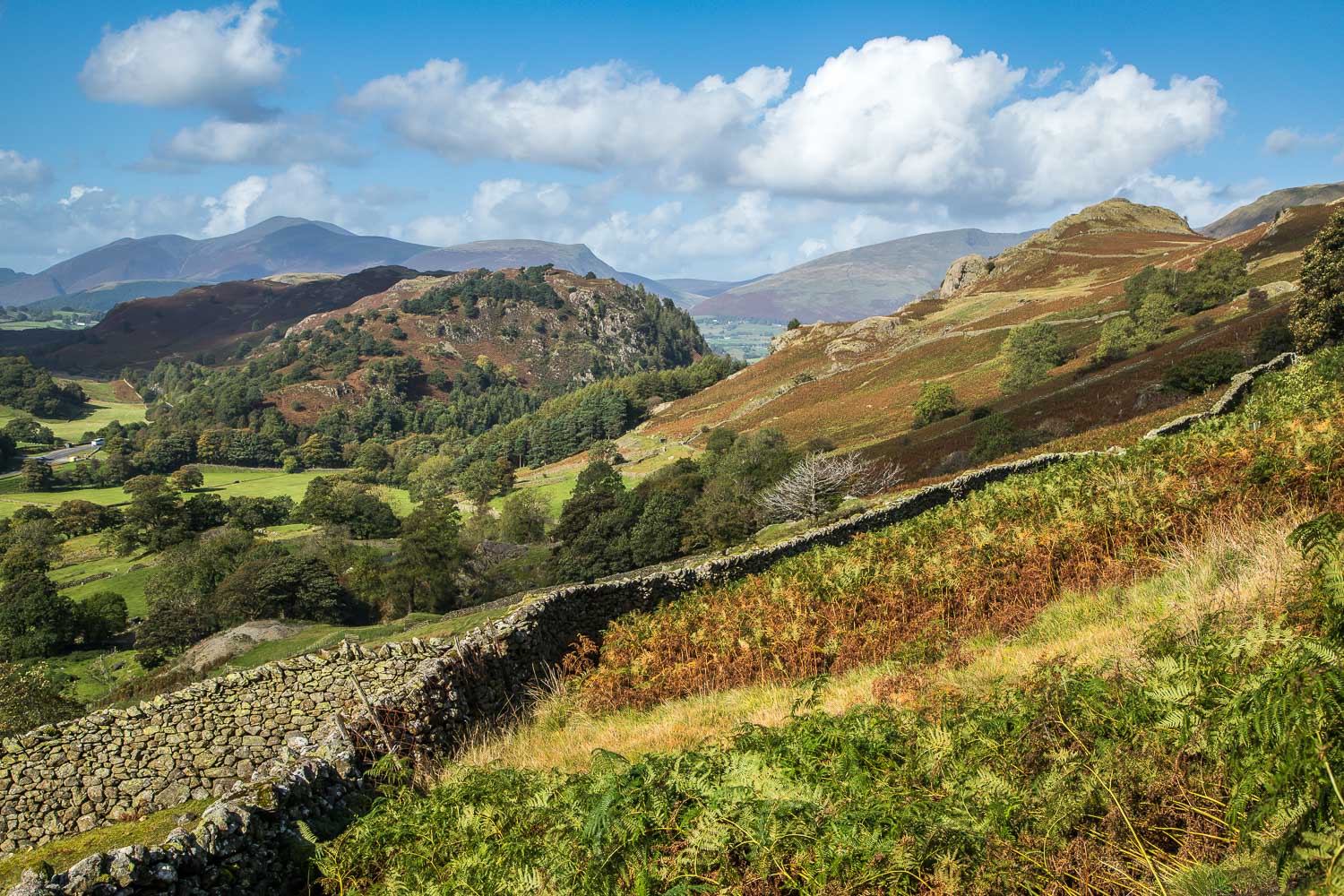
When we reached Highpark Wood we climbed up to the car park to start the return leg. A new underpass took us below the A591 and we emerged on the other side with views to Helvellyn Lower Man. The homebound part of the walk followed a mid-level path above the valley, with a lovely prospect of Skiddaw and Blencathra ahead of us all the way – a good reason for walking the circuit in an anti-clockwise direction
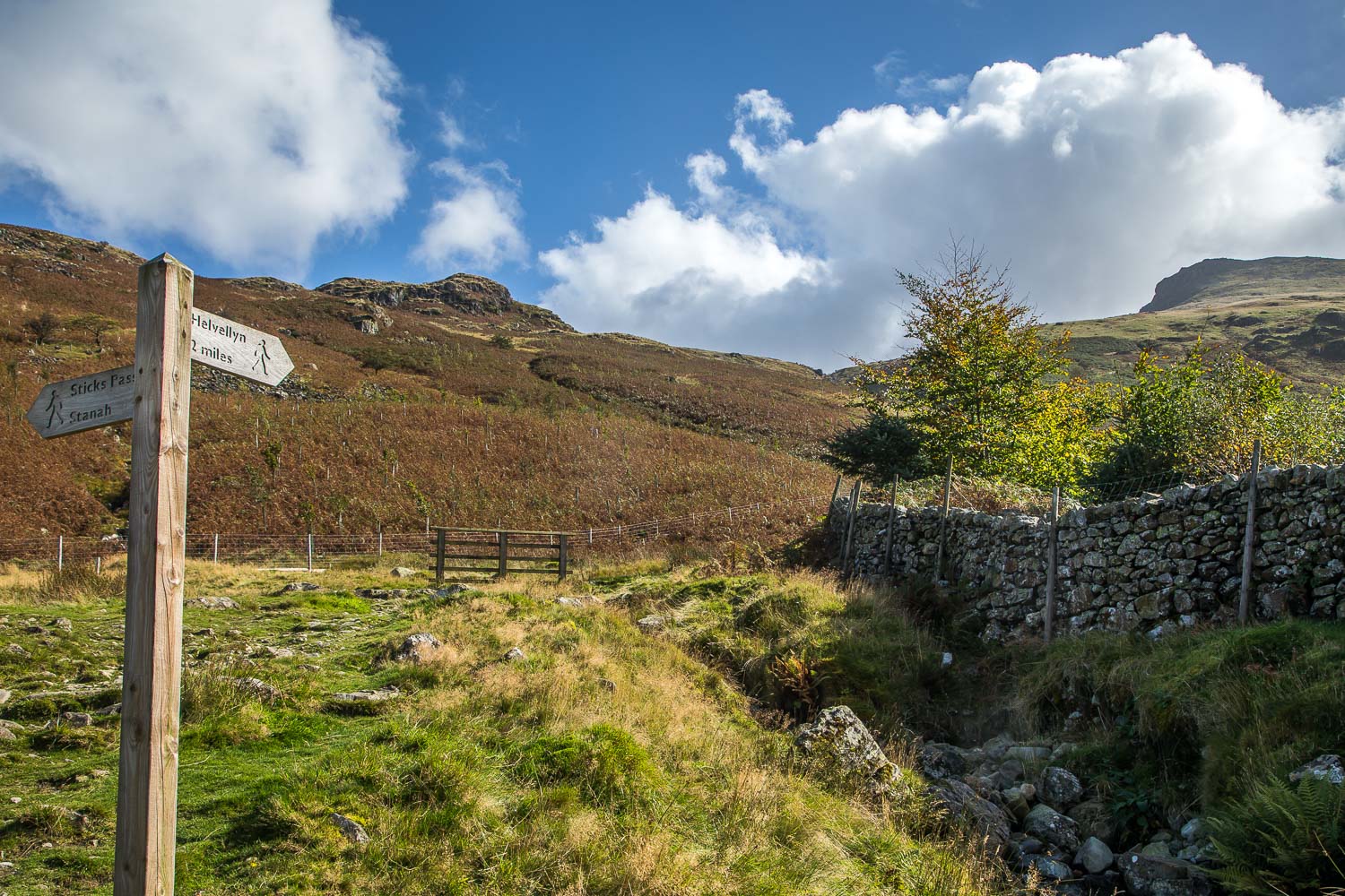
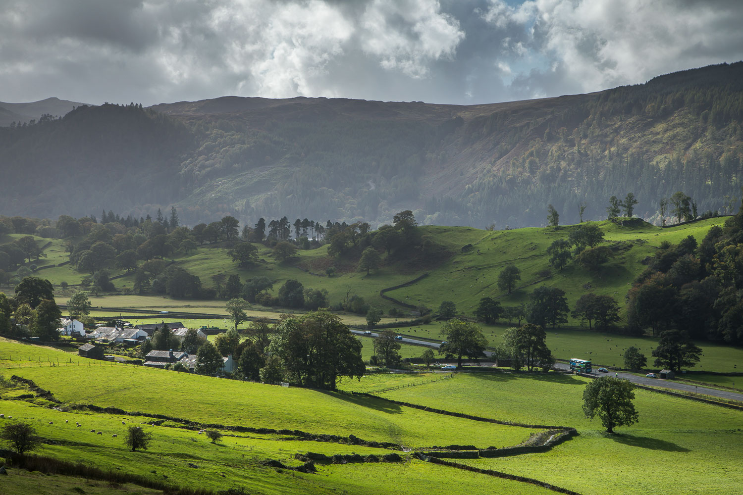
When we reached Stanah we followed the quiet B5322 for a short distance back to the start. I regret having neglected Thirlmere for so long, as this proved to be a wonderful walk, and I’m sure we’ll be back again to explore the rest of the area
For other walks here, visit my Find Walks page and enter the name in the ‘Search site’ box
Click on the icon below for the route map (subscribers to OS Maps can view detailed maps of the route, visualise it in aerial 3D, and download the GPX file. Non-subscribers will see a base map)
Scroll down – or click on any photo to enlarge it and you can then view as a slideshow
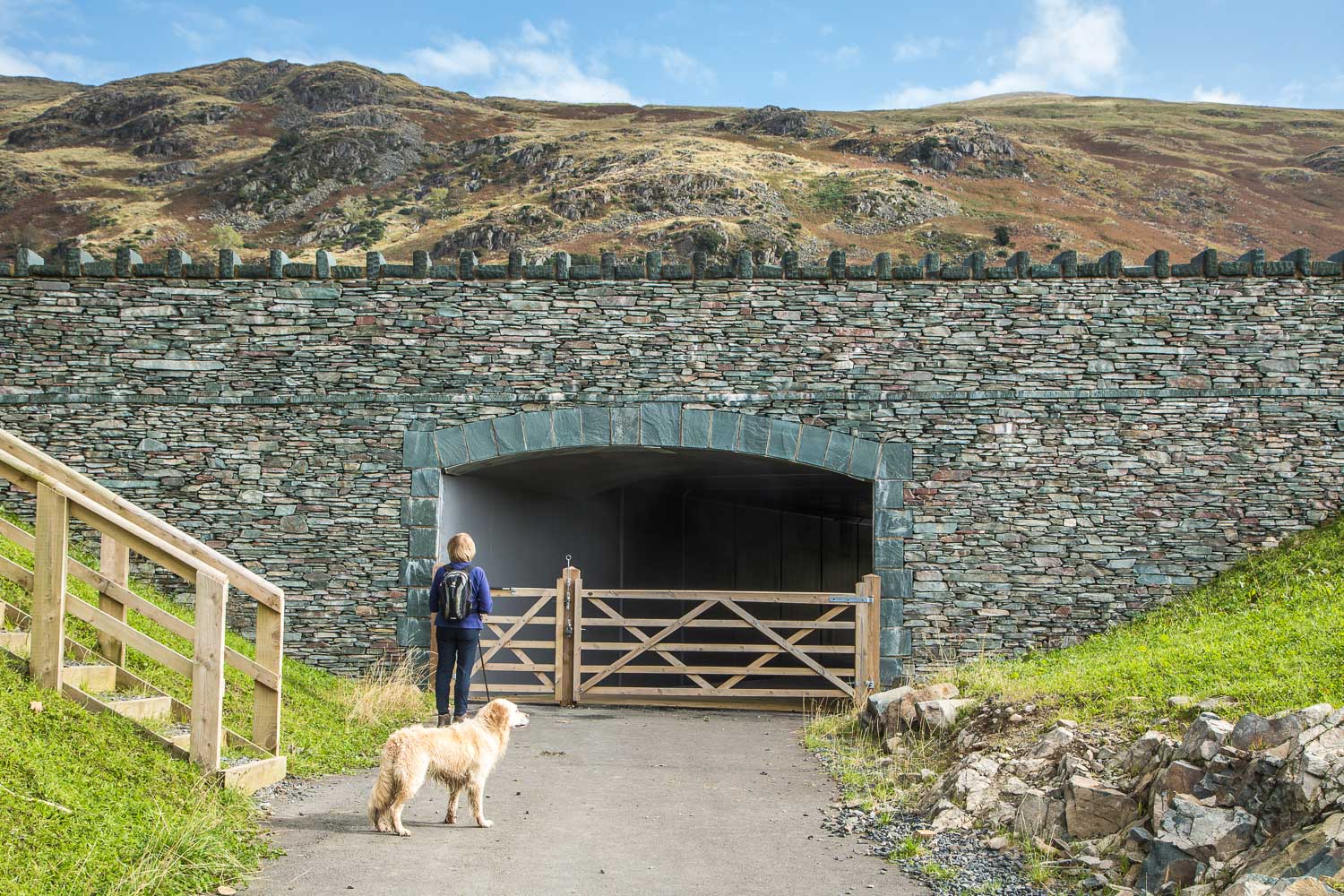
We'd anticipated having to cross the A591 so it was a pleasant surprise to encounter this new underpass...
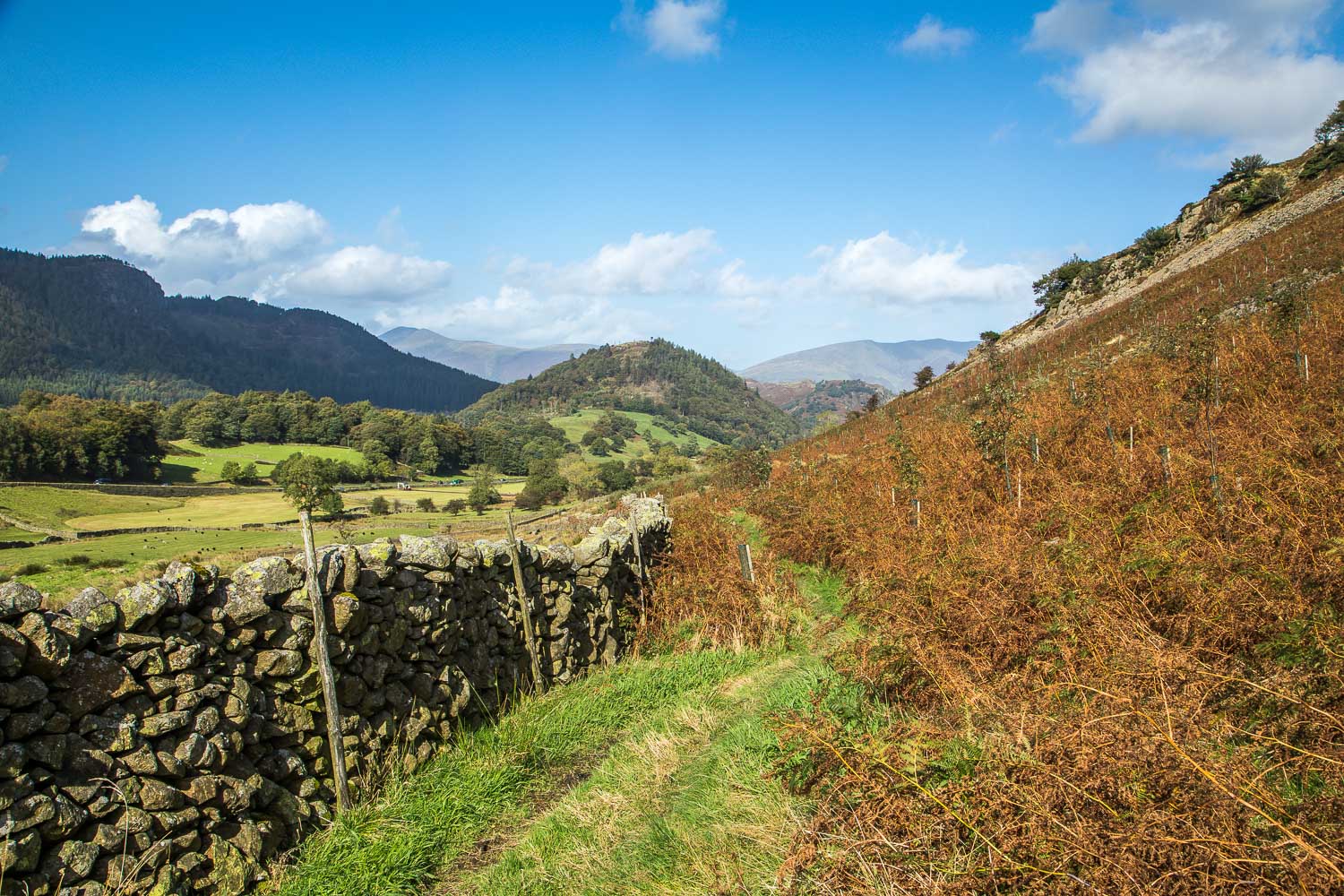
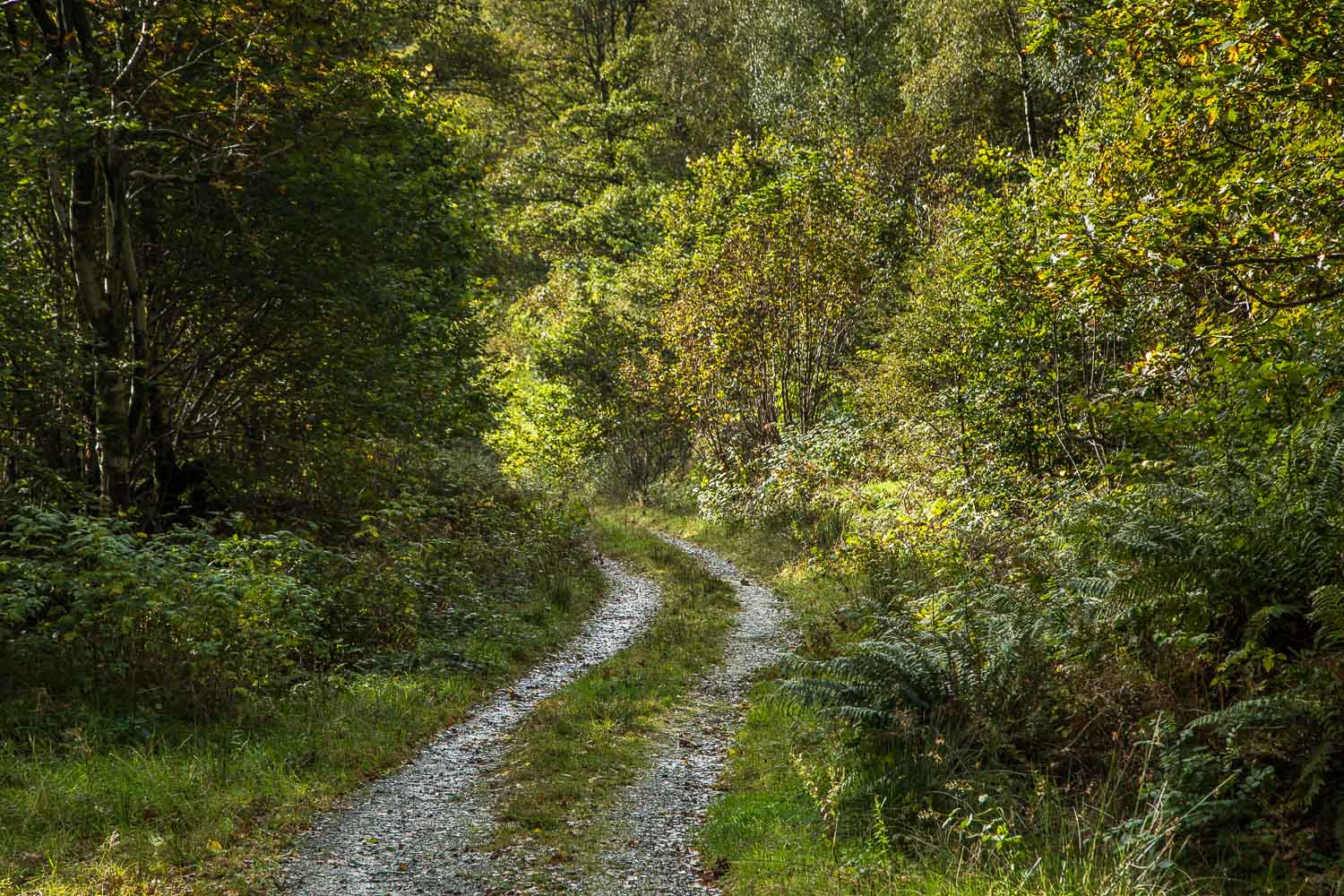
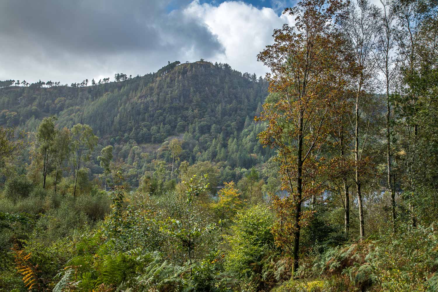
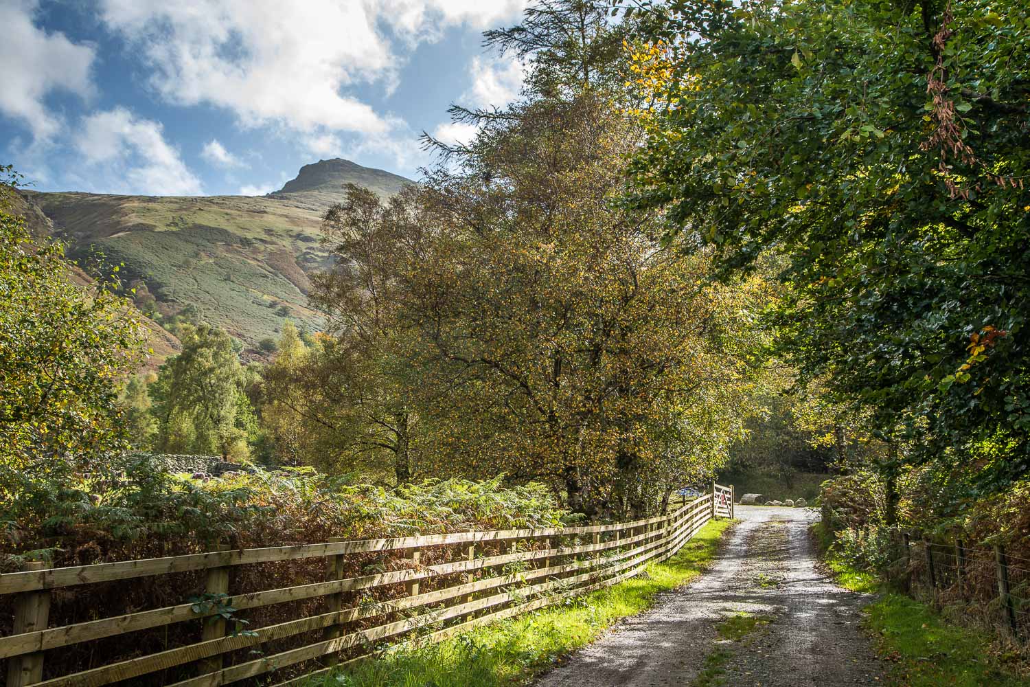
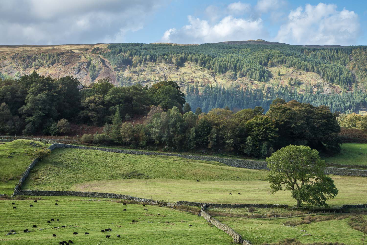
The start of a delightful path back to the start, here looking towards Great How which we'd walked past earlier
