Route: Mount Erskine, Salt Spring Island
Area: British Columbia, Canada
Date of walk: 28th September 2024
Walkers: Andrew, Gilly, James and Anna
Distance: 2.7 miles
Ascent: 700 feet
Weather: Overcast
Mount Erskine is located in the Mount Erskine Provincial Park on Salt Spring Island in the South Gulf Islands, off the east coast of Vancouver Island. It is about 1,500 feet above sea level. From our base in Chemainus, Vancouver Island, we drove over to Crofton and caught the car ferry to Salt Spring Island, a 20 minute ride. We then drove over to the start of the walk, where there is ample roadside parking at the end of a winding road known as Trustee’s Trail. The walk starts at 750 feet above sea level, so the ascent is a very modest one
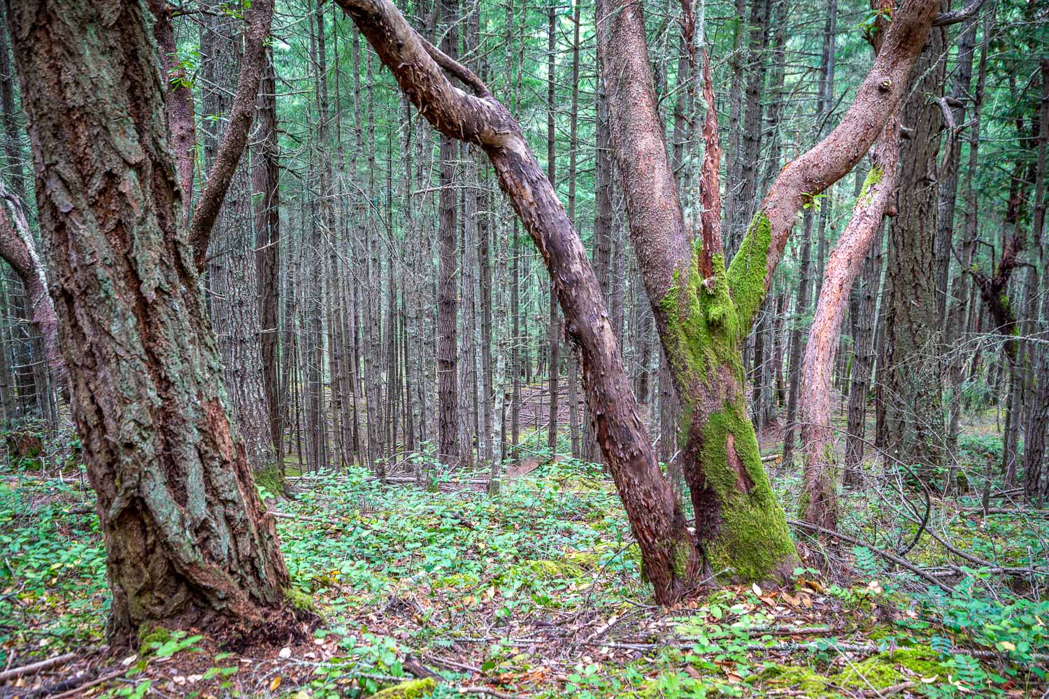
We entered into the woodland and followed a path through the trees, which include some magnificent old douglas fir and red listed arbutus. As we gained height the gradient steepened, but there were no difficulties. If the route is tackled anti-clockwise, as we did, the steeper sections are taken on the ascent
It wasn’t long before we arrived on the summit area from which we could view Vancouver Island, north towards Mount Arrowsmith, Chemainus and Nanaimo as well as east across Trincomali Channel to Galiano Island and the Lower Mainland. The grey skies overhead did nothing to enhance the view, but it was a superb one nevertheless
We set off along the gentle descent which was a very easy affair and near the bottom this connected with our original approach path. From here we retraced our steps back to the end of a very enjoyable short walk
Click on the icon below for the route map
Scroll down – or click on any photo to enlarge it and you can then view as a slideshow
A promising start to the day as we awoke to dawn skies at our base in Chemainus
On board the ferry from Crofton to Salt Spring Island, we look across to today’s objective, Mount Erskine

An Arbutus tree, also known as the Madrona or Madrone. The tree is native to the western coastal areas of North America and is considered to be at risk
Panorama from the summit of Mount Erskine


