A guest entry by son James
Route: The Niblet and The Nublet
Area: Mount Assiniboine Provincial Park, British Columbia
Date of walk: 15th August 2024
Walkers: James and Anna
Distance: 6.5 miles (10.5km)
Ascent: 1,500 feet (444m)
Weather: Sunny morning, with short downpour in evening
After two days with heavy backpacks, it was a relief to wake up on our third day with sunny conditions and knowing that we didn’t have to pack up and move on to another campsite. We refilled water from a nearby stream and enjoyed our slow start to the day with some strong coffee, which always tastes nicer in the mountains
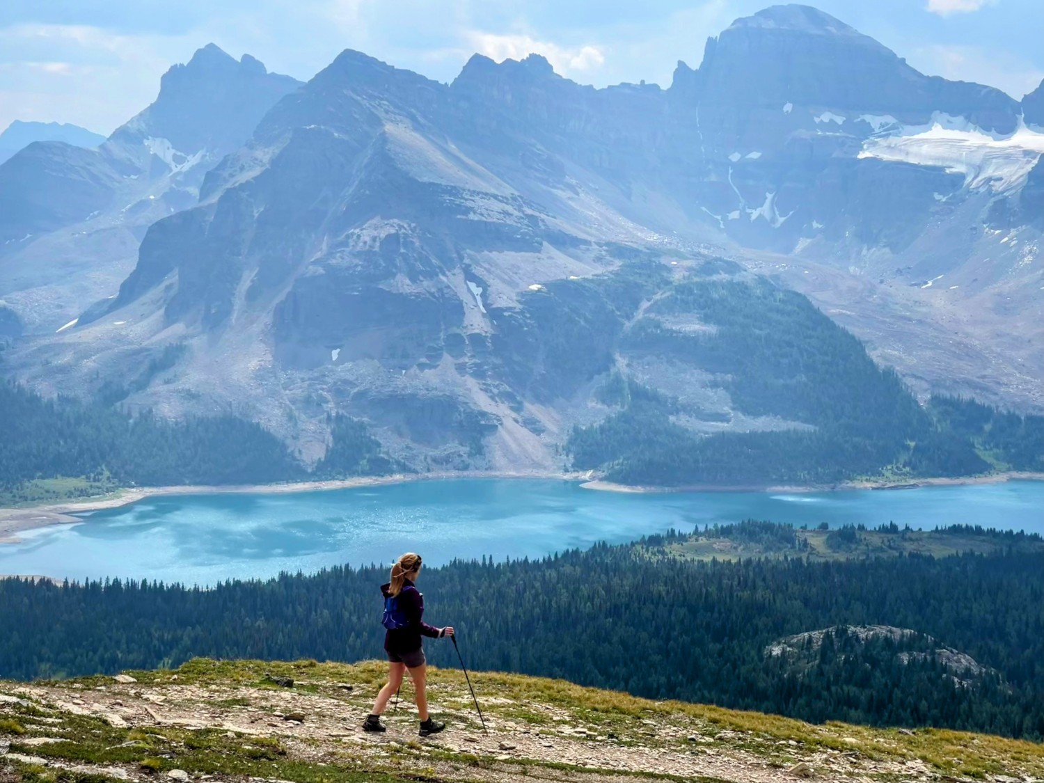
The route today took us past Sunburst Lake providing reflections of Sunburst Peak above it, and up on to the ascending ridge joining The Niblet to The Nublet, with both giving magazine-worthy views of Mount Assiniboine. For those with more energy than us, the ridge continues to Nub Peak and requires a bit of scrambling. We took a circular route enjoying more spectacular views of Mount Assiniboine above Magog Lake, from the benches and shoreline in front of Assiniboine Lodge.
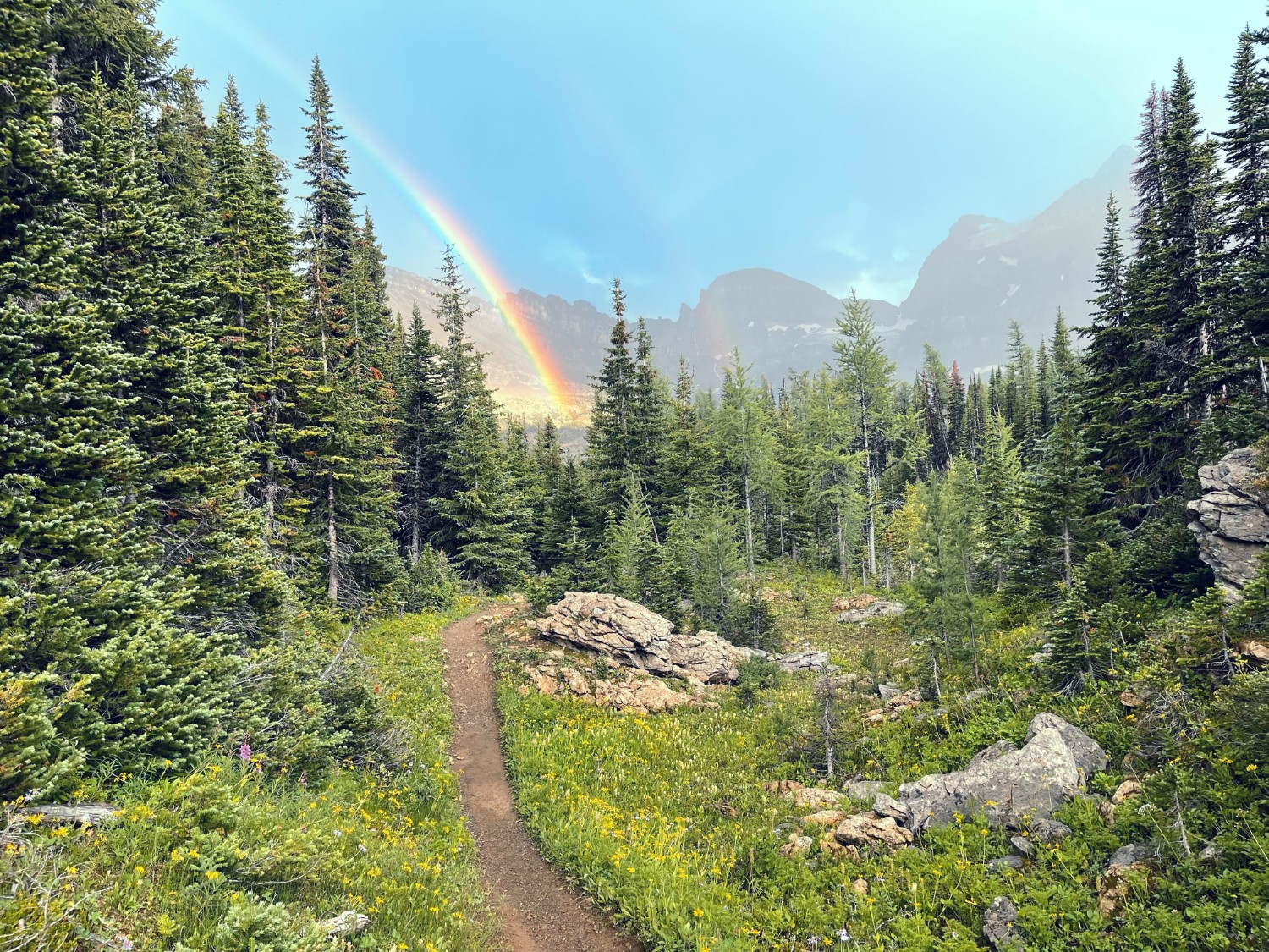
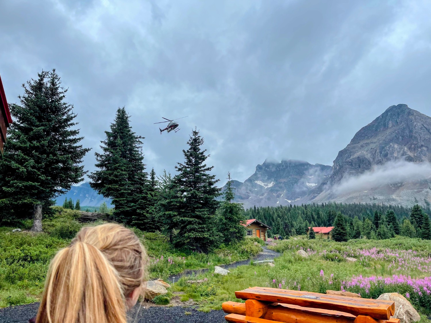
The lodge was built in 1928 as the first backcountry ski lodge in North America. Guests once arrived by horseback and served as the base for mountaineering or cross-country skiing. Nowadays the lodge provides a cozier experience with comfy beds and gourmet meals, and can be accessed on alternate days by helicopter. On days in between helicopter flights the lodge puts on afternoon tea for nearby campers. We queued up with about 20 fellow campers to take advantage of the afternoon tea (and $10 beers), before returning via Lake Magog for a quick dip. There was a short downpour in the evening resulting in a very vivid rainbow, which produced a dramatic backdrop for a couple getting married on the shoreline of Sunburst Lake.
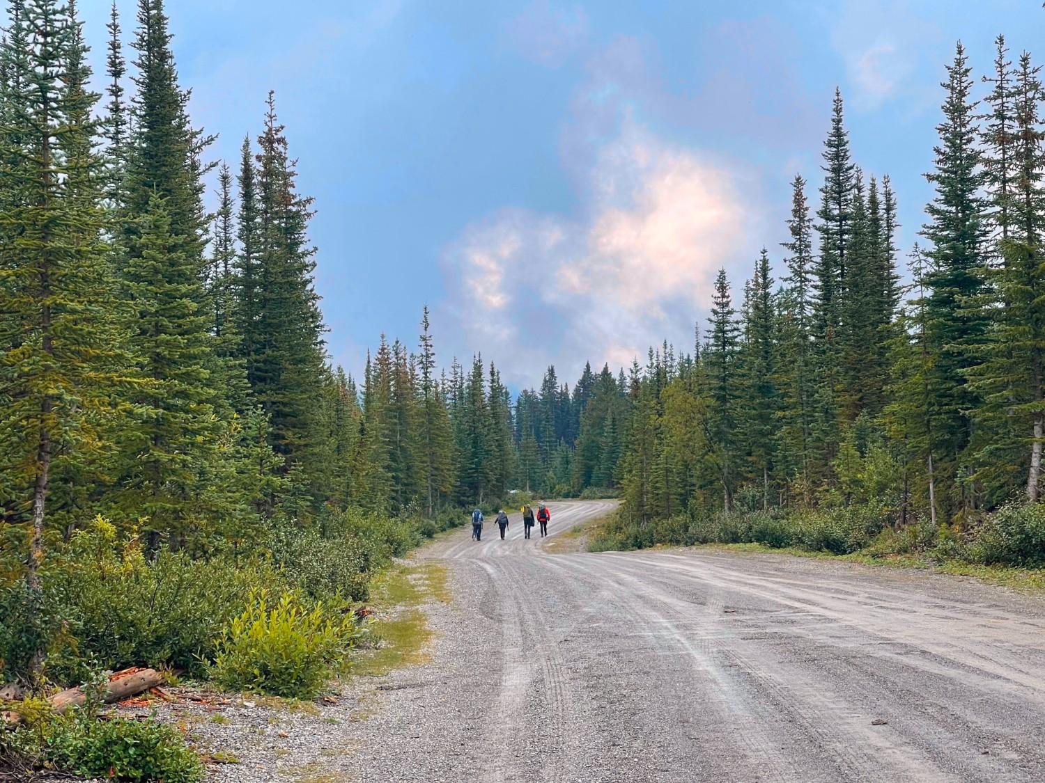
The fourth day was a short, one-mile journey and therefore included here for simplicity. We packed up our tent, threw on our heavy packs one last time, and returned to the lodge. Here we took the cheaters way out and returned via a scenic helicopter ride back to our starting location, sealing our adventure as the trip of the summer and one of the trips of our lifetimes.
Click on the icon below for the route map
Scroll down – or click on any photo to enlarge it and you can then view as a slideshow

We decided to stop at the summit of The Nublet, marked by a cairn. Nub Peak can be seen in the distance

We arrived on the ridge from the right of this shot. Our journey continued straight this time, towards Assiniboine Lodge


