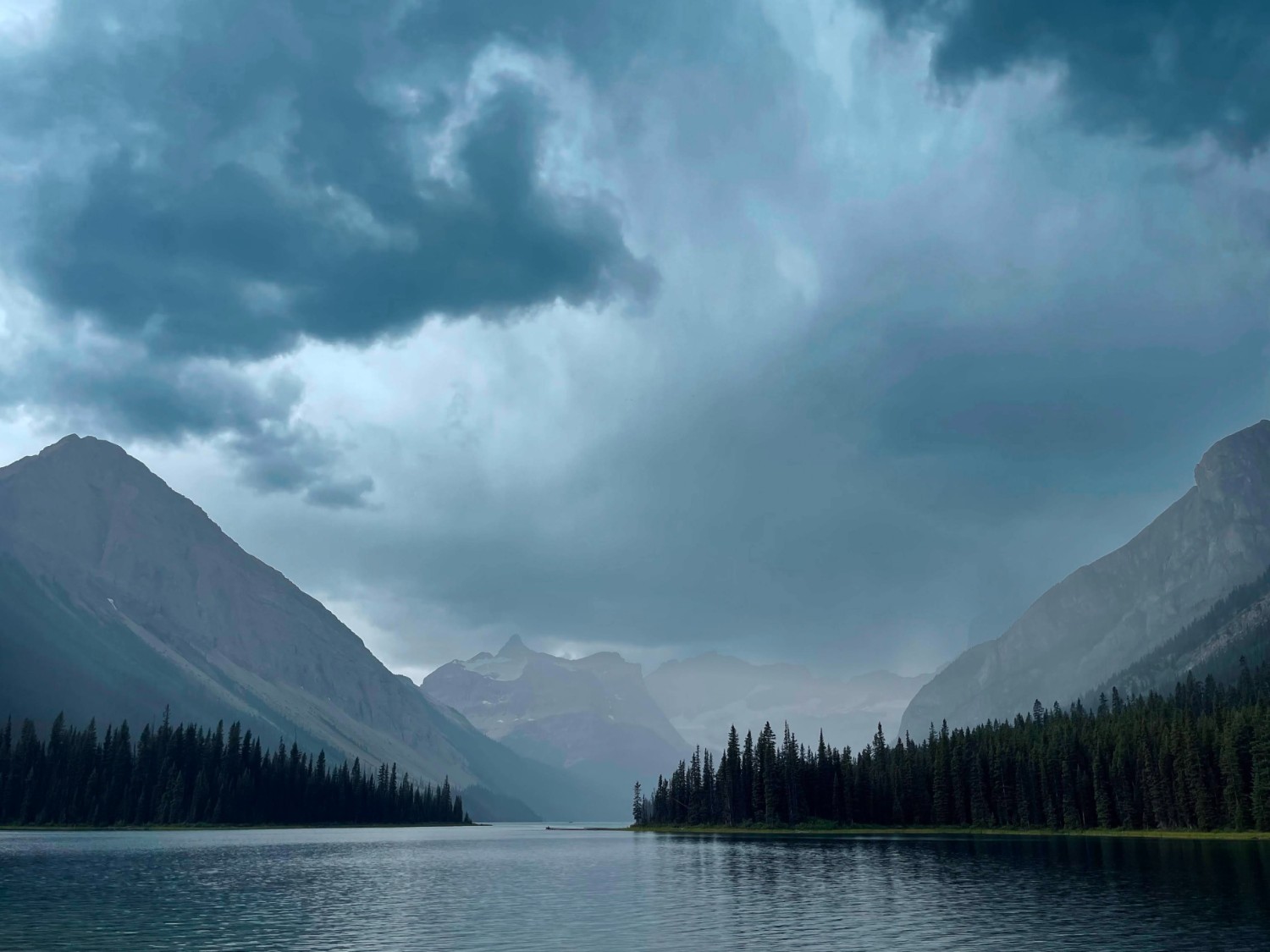
Route: Mount Shark Helipad to Marvel Lake
Area: Kananaskis Country, Alberta, Canada
Date of walk: 13th August 2024
Walkers: James and Anna
Distance: 11.3 miles (18.2km)
Ascent: 1,100 feet (321m)
Weather: Mixed
This multi-day adventure has been a long time in the making. After moving to Vancouver in late summer of 2023, I have spent many weekends exploring and backpacking some of the popular and not-so-popular mountains in the south-west British Columbia region with Anna
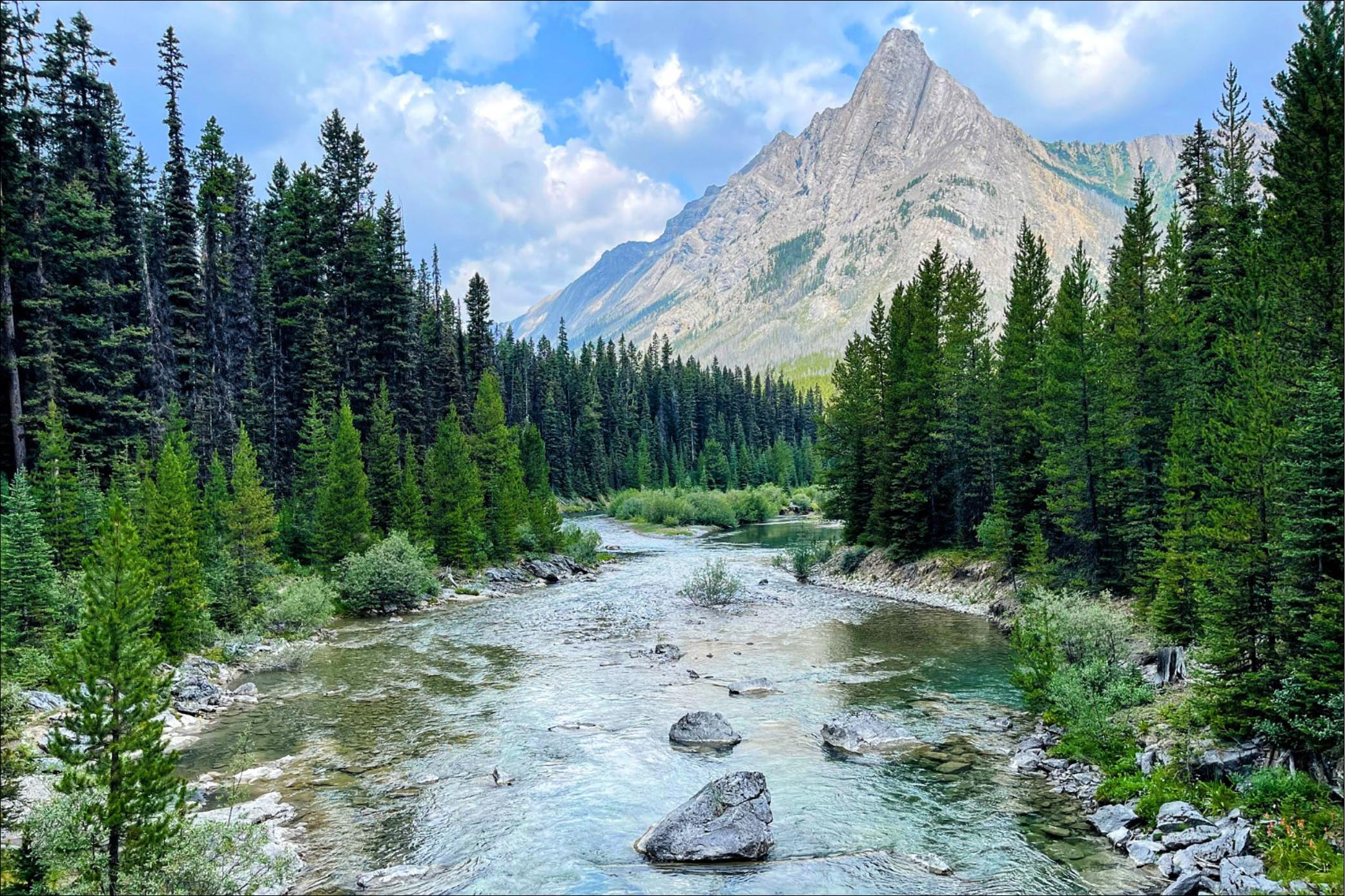
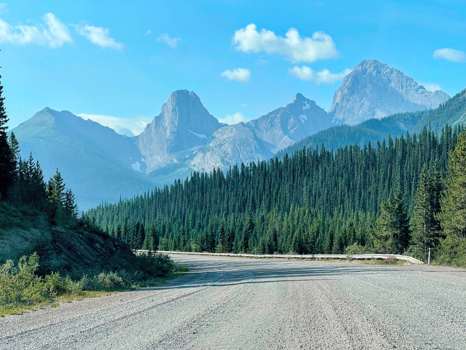
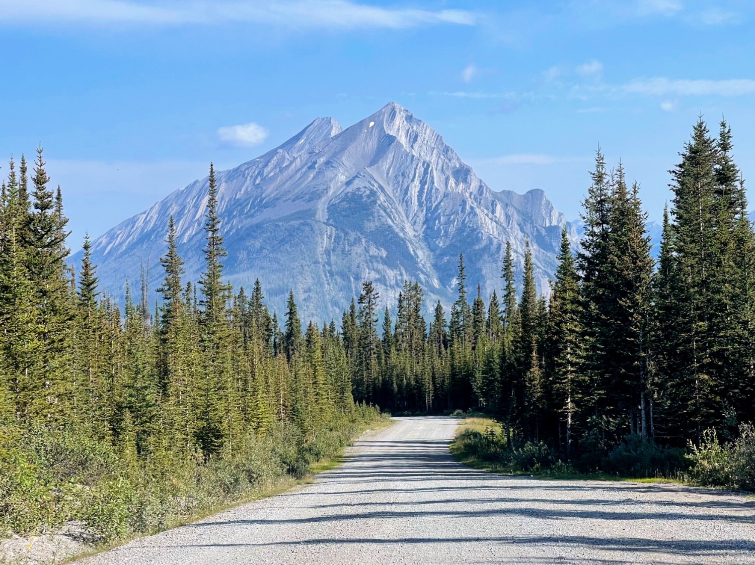
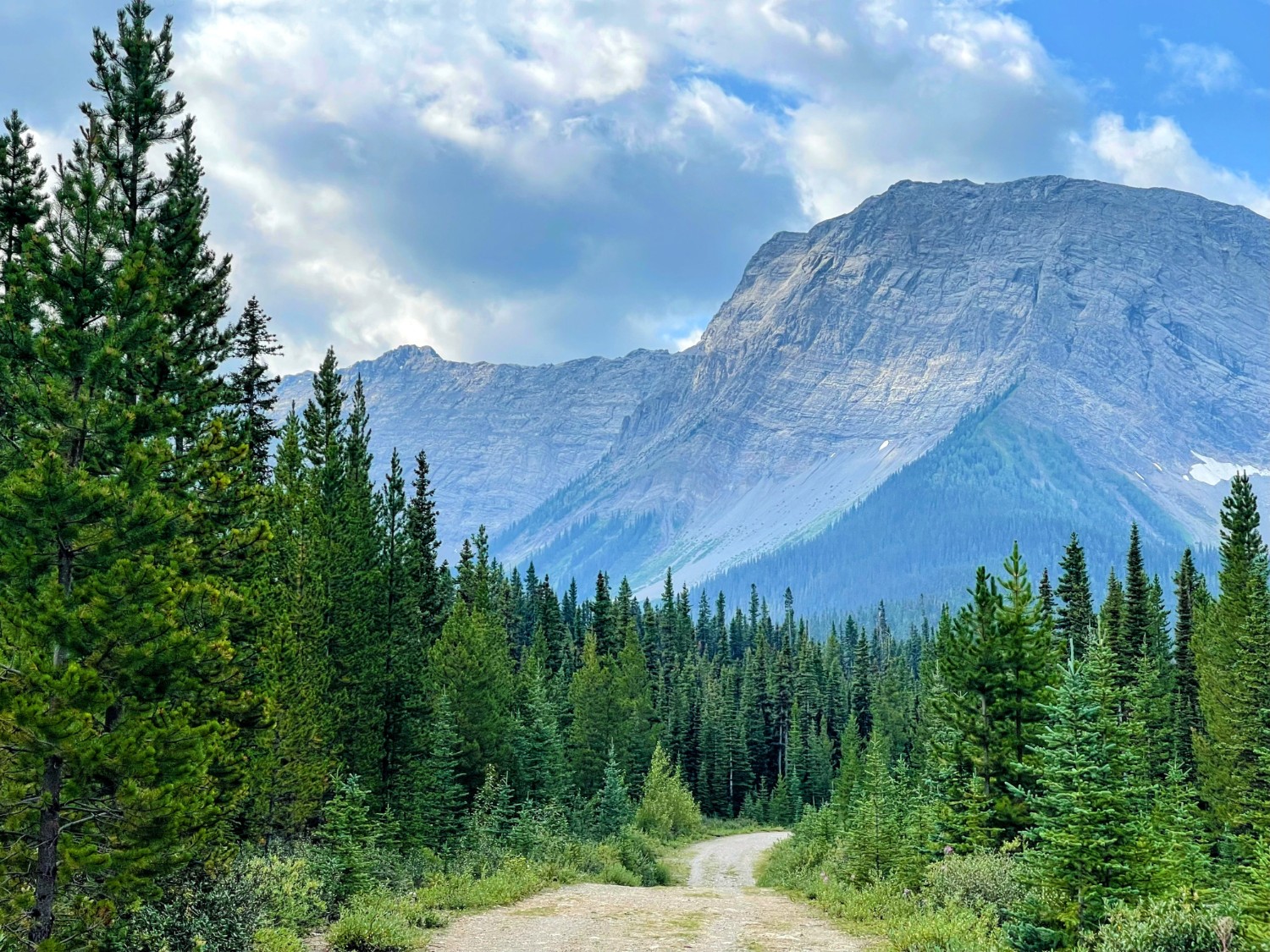
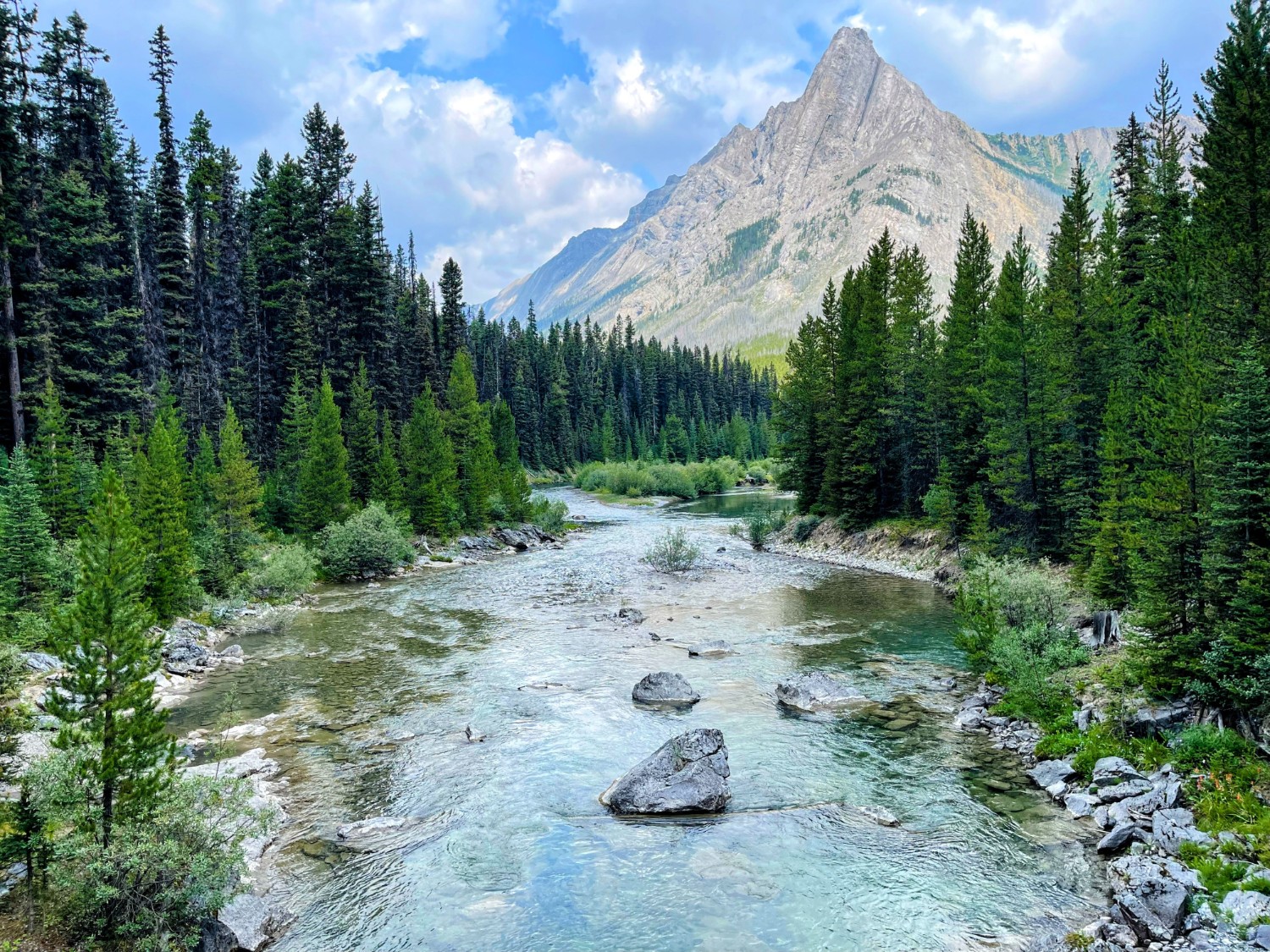
Canada struck me straight away with its abundance of rugged and remote mountains, as well as its sheer scale. The forest service roads (or ‘FSR’s) that are common here, allow accessibility to wilderness that is hard to find in Europe. After hearing about Mount Assiniboine, known for both its remoteness and pointy Toblerone-shaped outline (often called the “Matterhorn of the Canadian Rockies”), we knew we had to plan a trip to see it
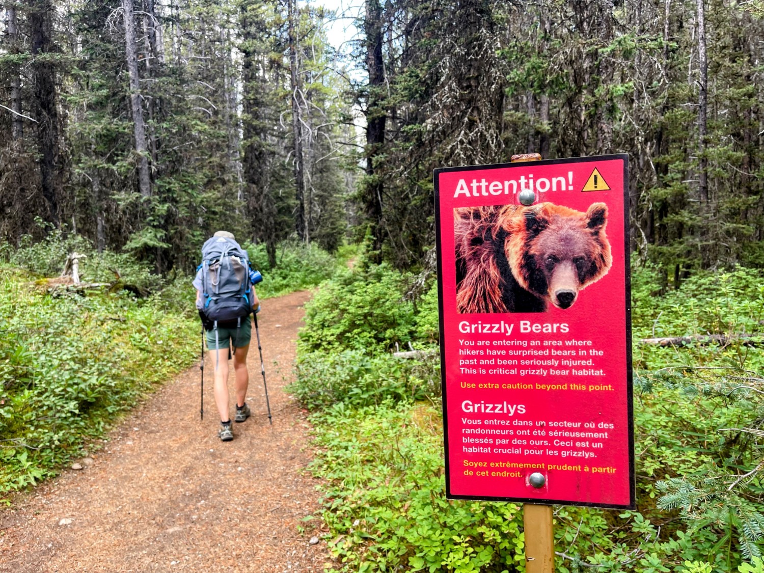
Mount Assiniboine sits 30km from the nearest gravel service road and being a 9-hour drive from Vancouver, this required a bit more coordination than a normal walk or ‘hike’ we have been used to. You have to be extra prepared as the surrounding area contains dozens of over-3,000m (10,000ft) peaks resulting in very changeable conditions, and plenty of wildlife including grizzlies, black bears, cougars and wolves (more on this later!)
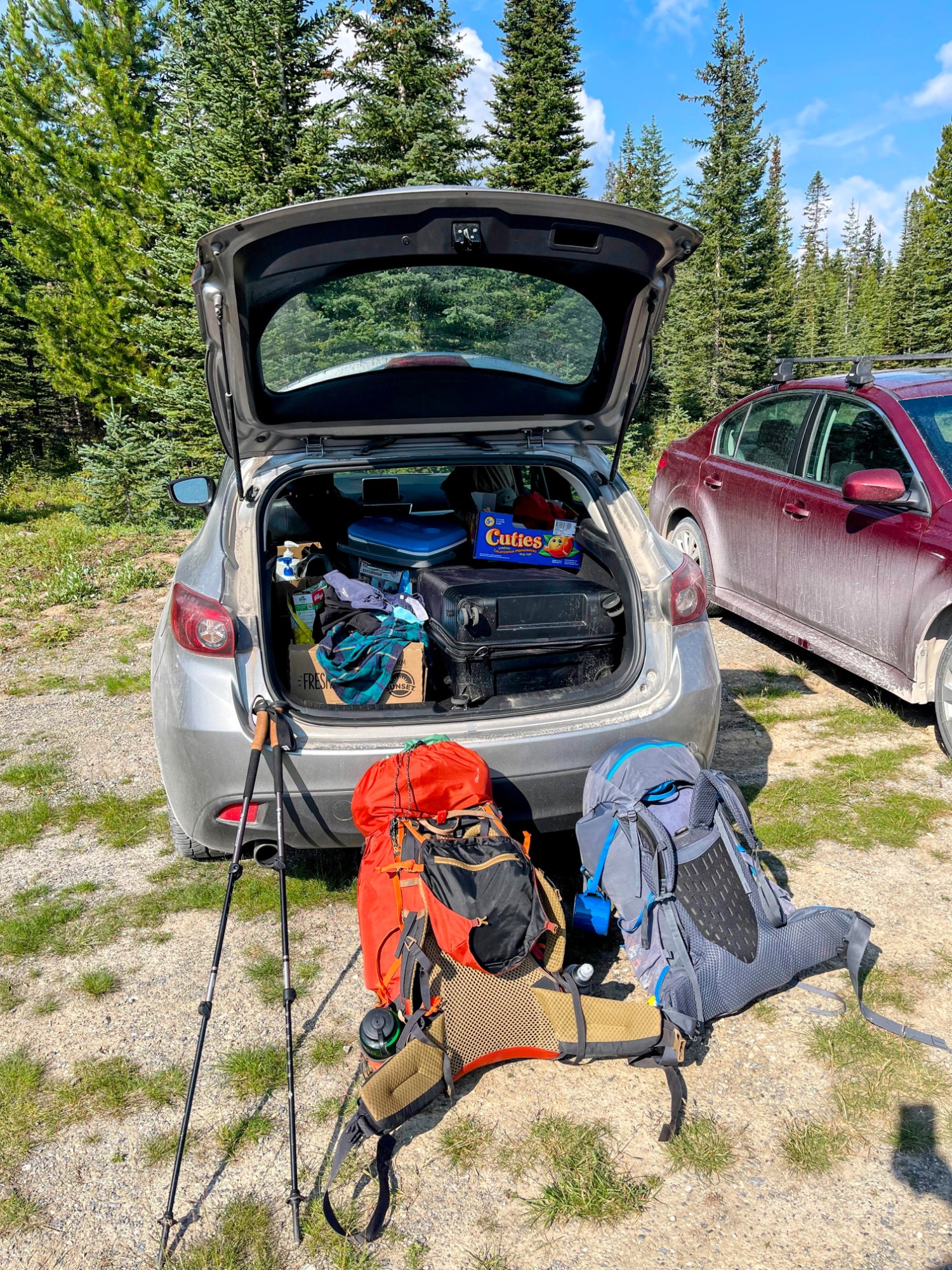
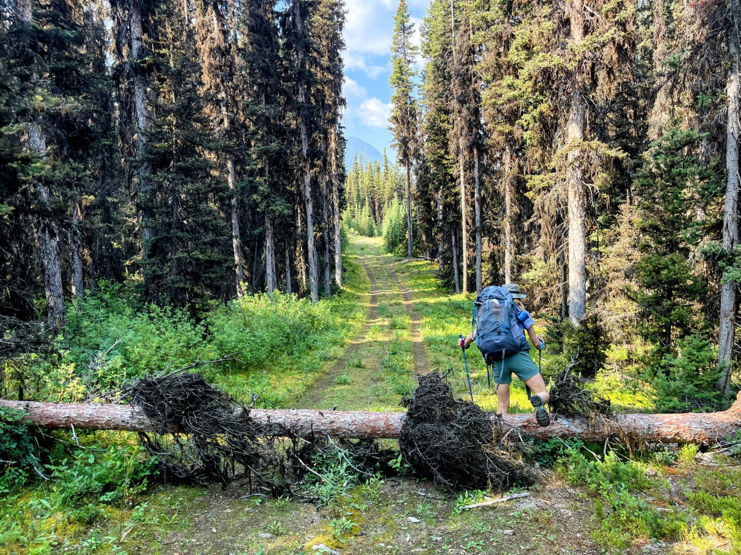
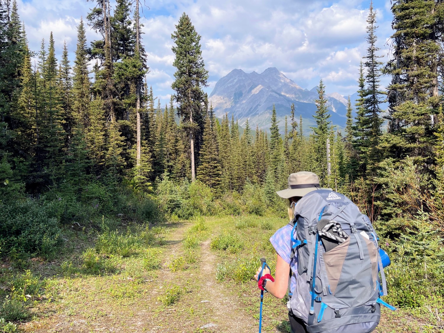
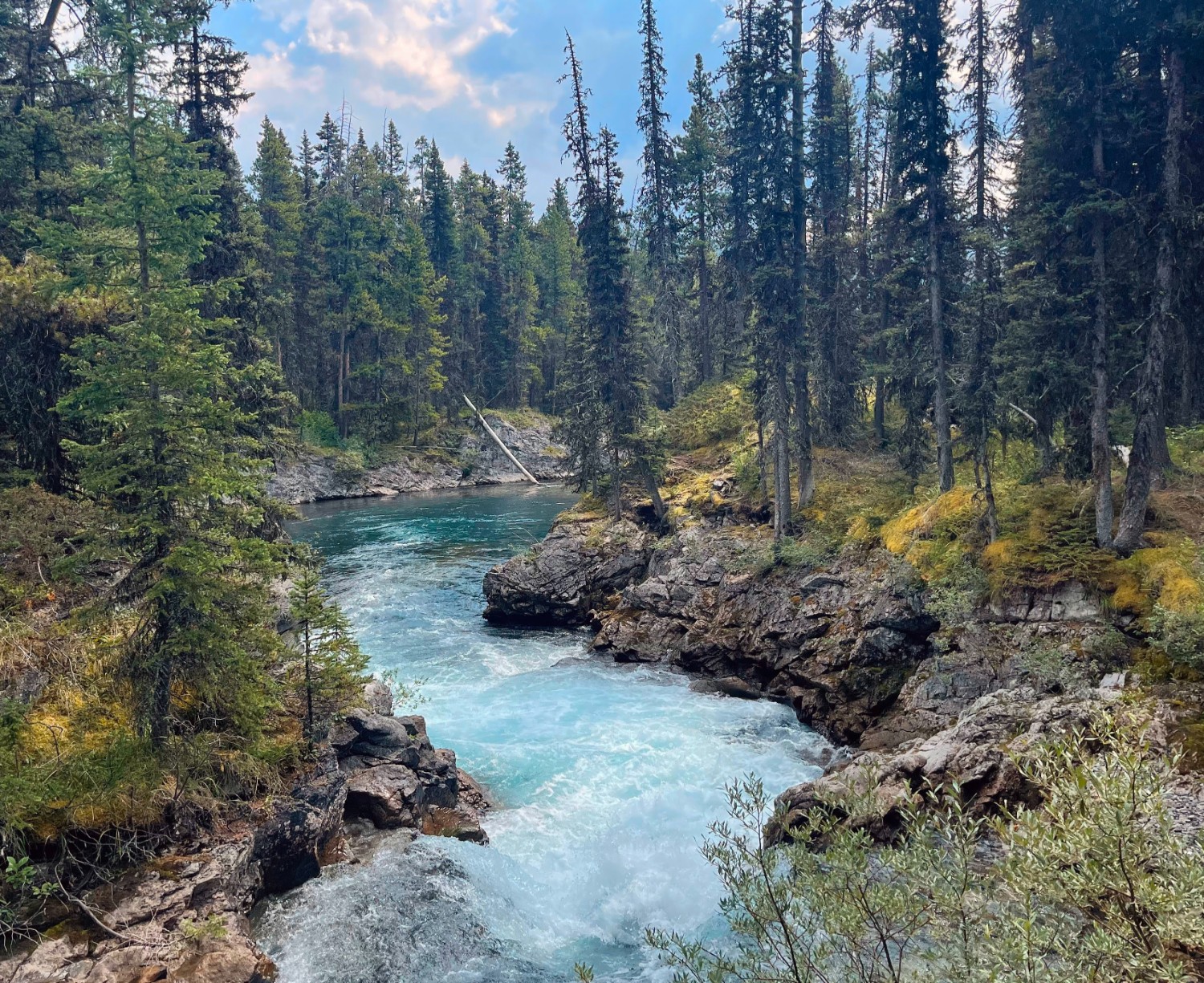
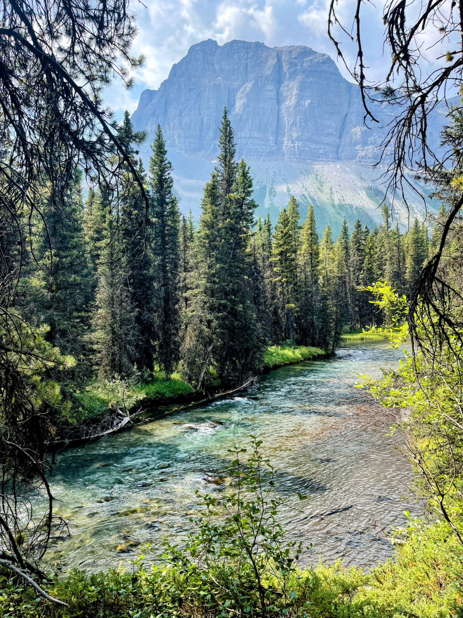
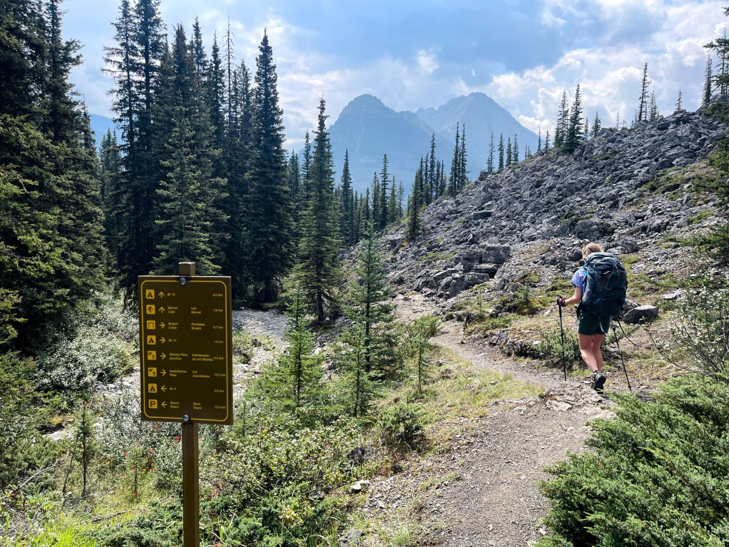
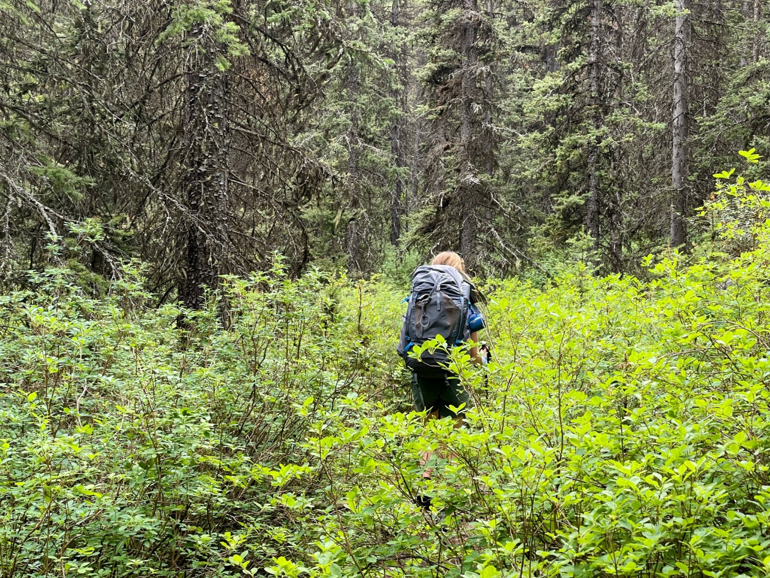
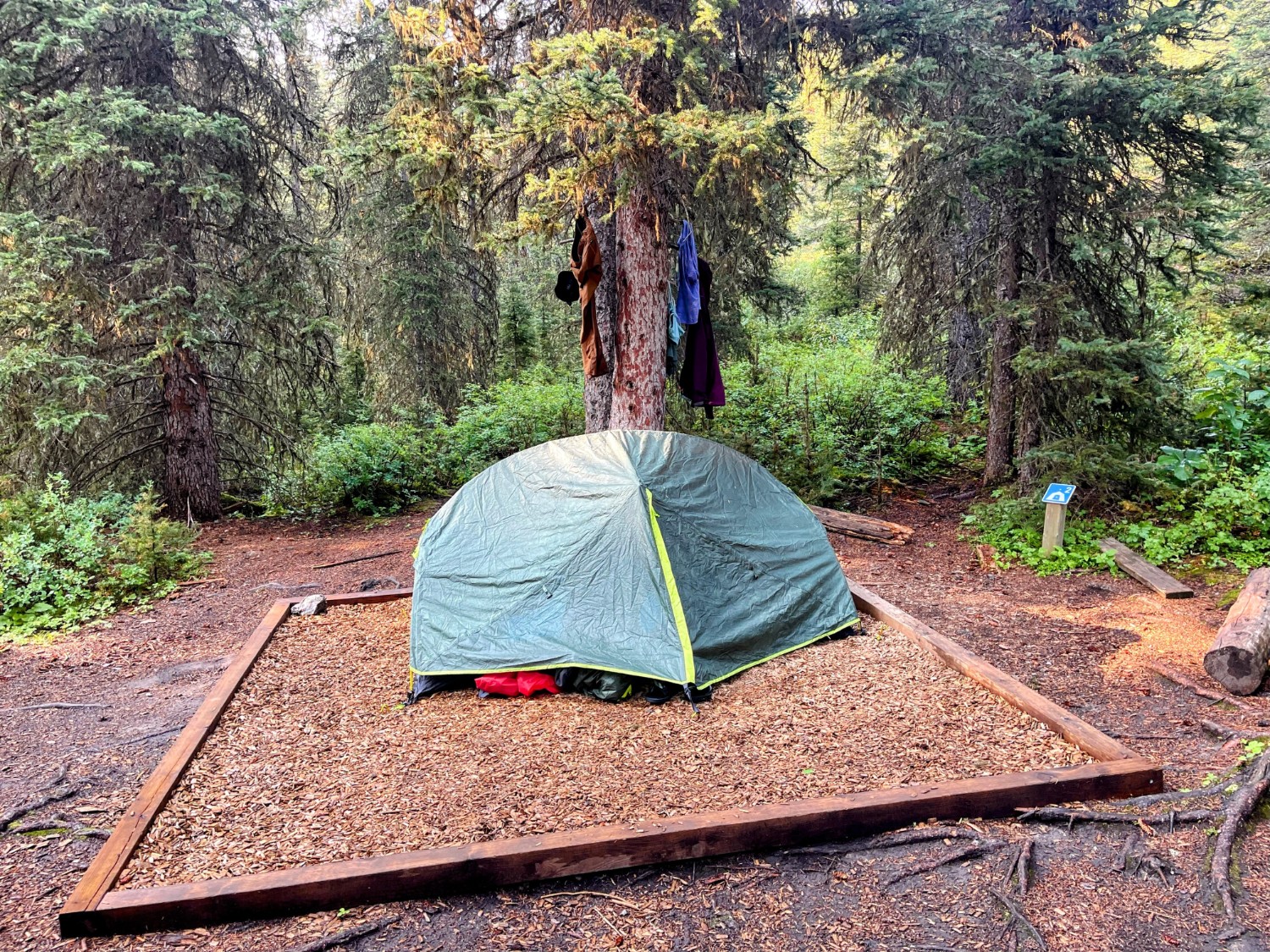
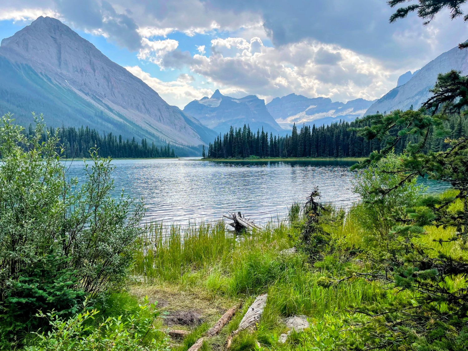
Anna and I each set off with 40lb packs loaded with camping gear, food, bear-spray, GPS, first-aid, and of course, some alcohol-based luxuries for unwinding in the evening. This first day took us on a relatively simple route, making it half-way to Mount Assiniboine, where we stopped at the campsite a short distance from Marvel Lake to spend the night. A trip down to the lake resulted in our first wildlife sighting – a cougar around 150m from us – thankfully on opposite shoreline but close enough to remain cautious for the rest of the evening
Click on the icon below for the route map
Scroll down – or click on any photo to enlarge it and you can then view as a slideshow
