Route: Schlick
Area: Austria, Stubai Valley, Tyrol
Date of walk: 11th September 2023
Walkers: Andrew and Gilly
Distance: 5.2 miles
Ascent: 100 feet (descent 2,500 feet)
Weather: Sunny and warm
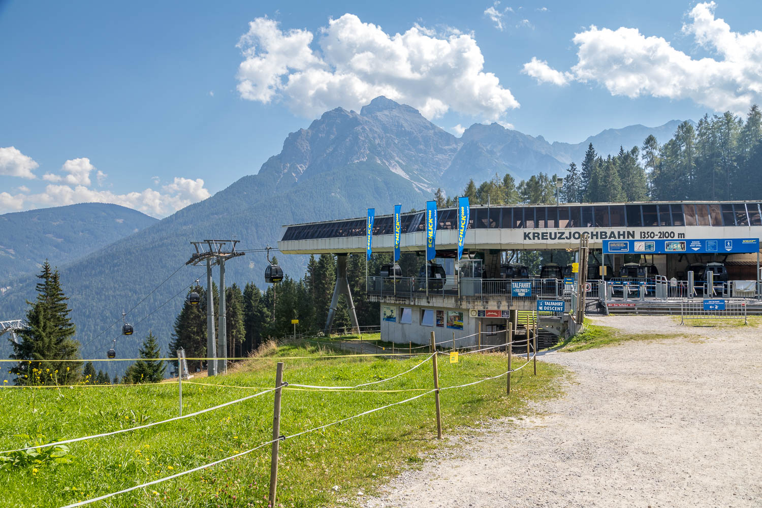
The Schlick2000 cable car is based in the village of Fulpmes and is on a local bus route. We took the cable car to the top station at an altitude of 6,900 feet and our walk would take us down to the middle station at Brugger Alm, some 2,500 feet lower down
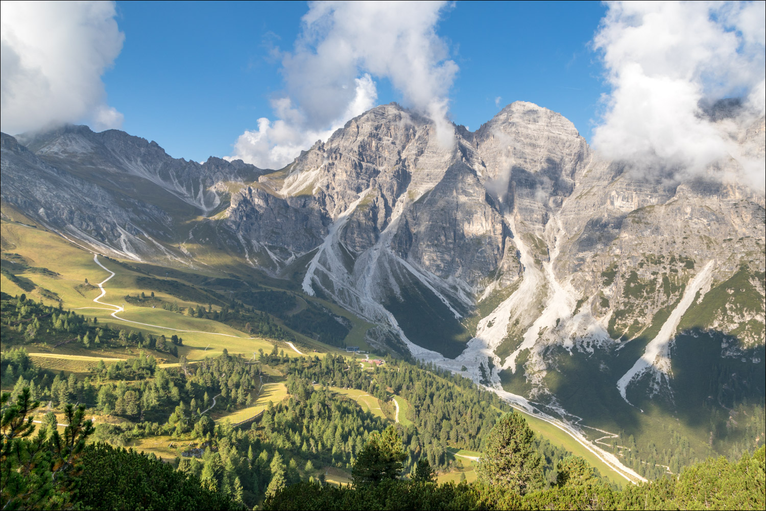
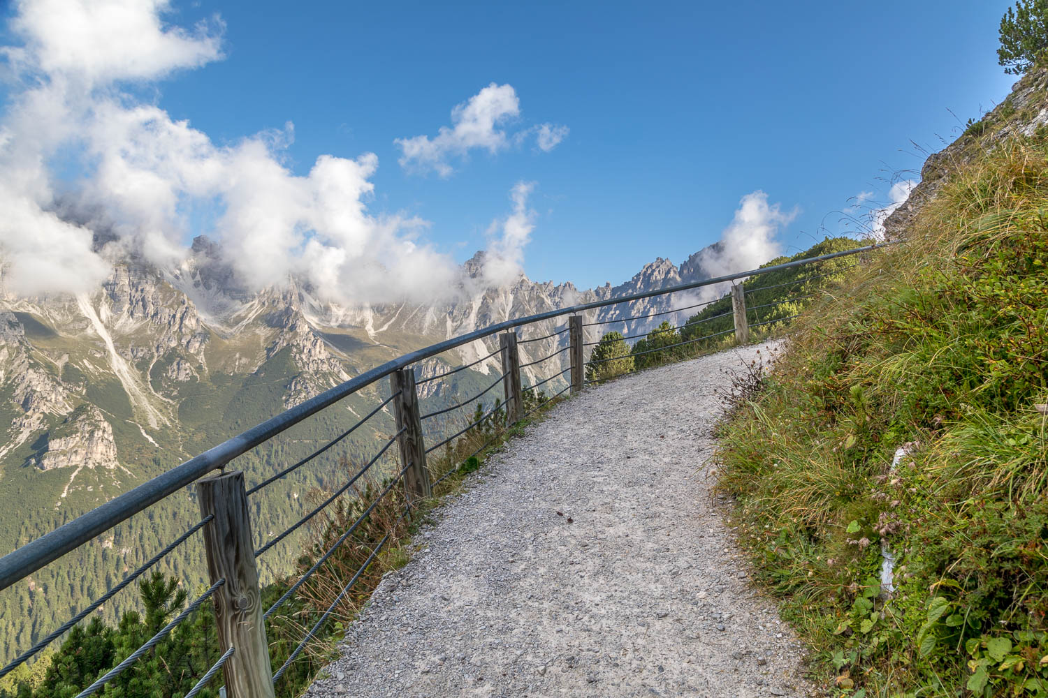
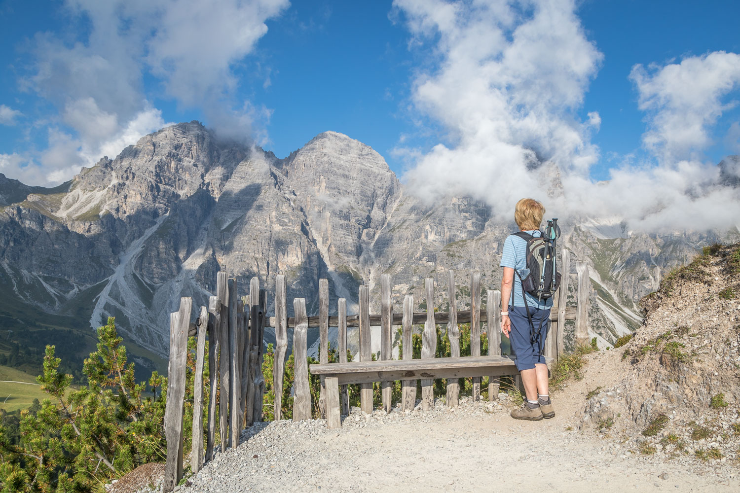
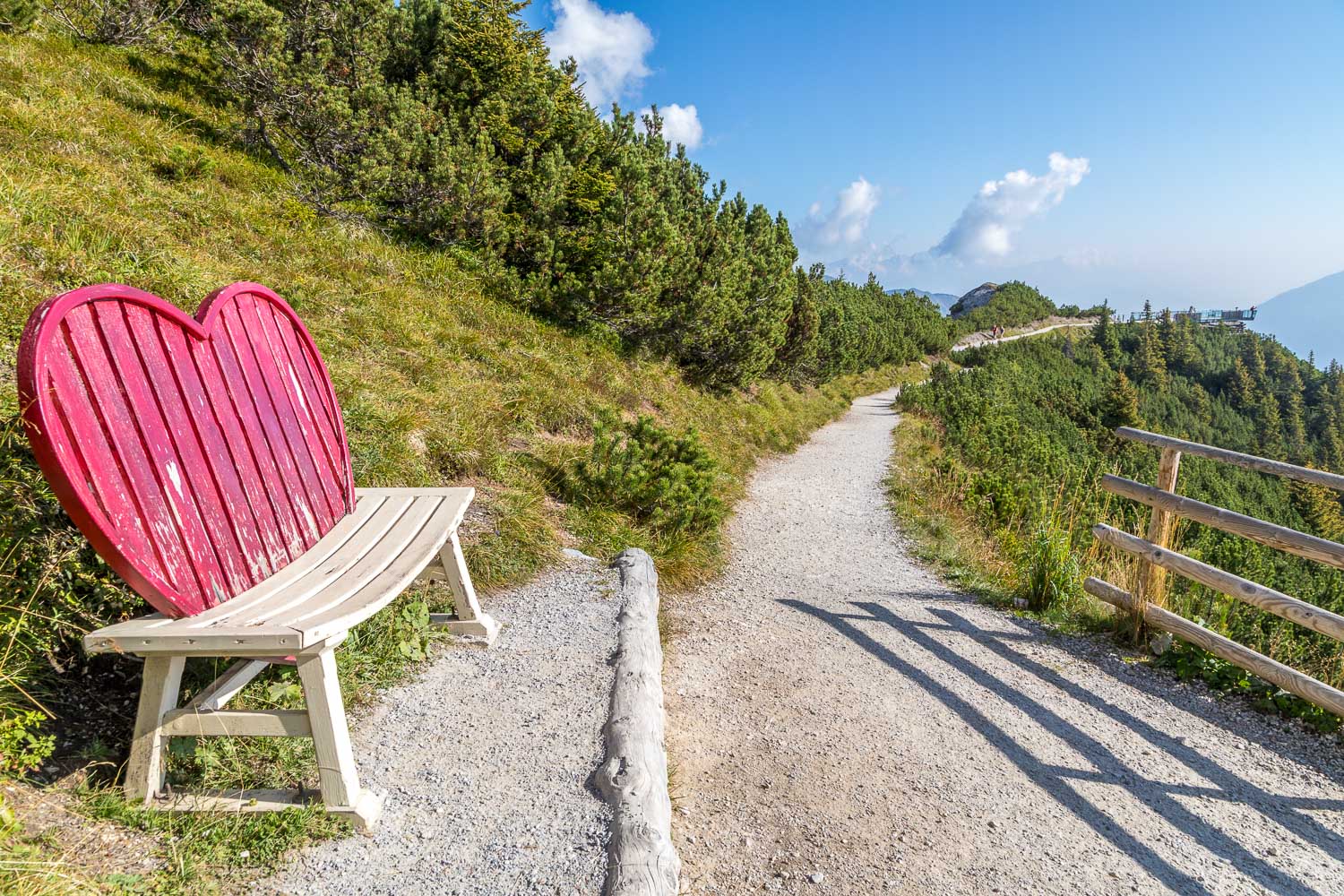
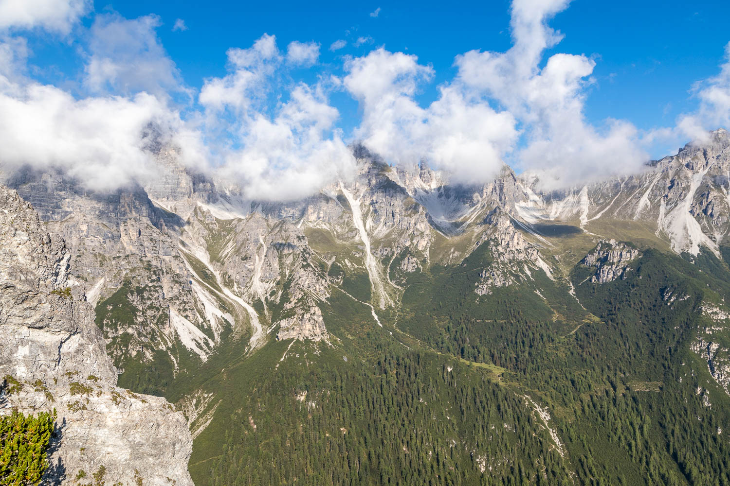
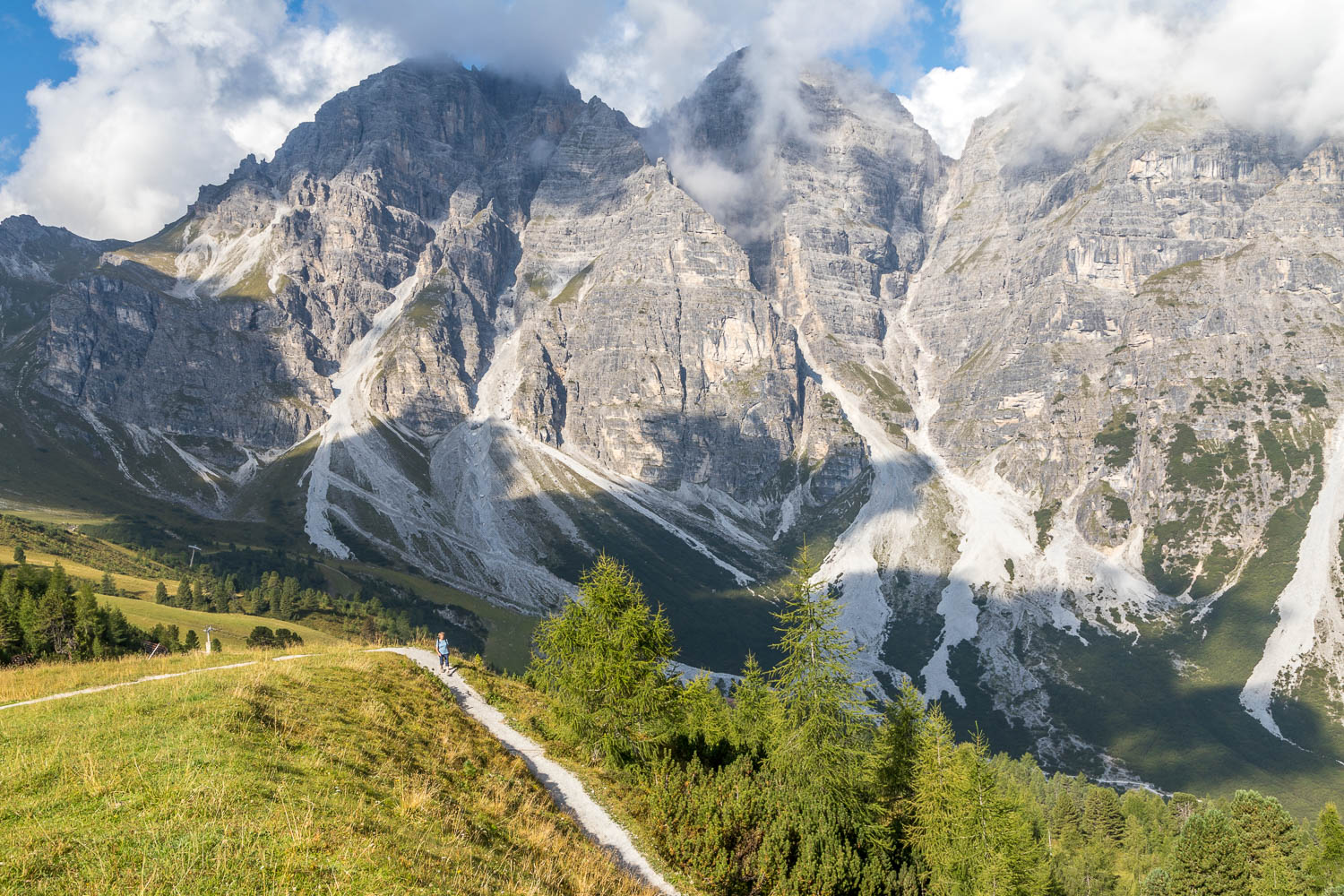
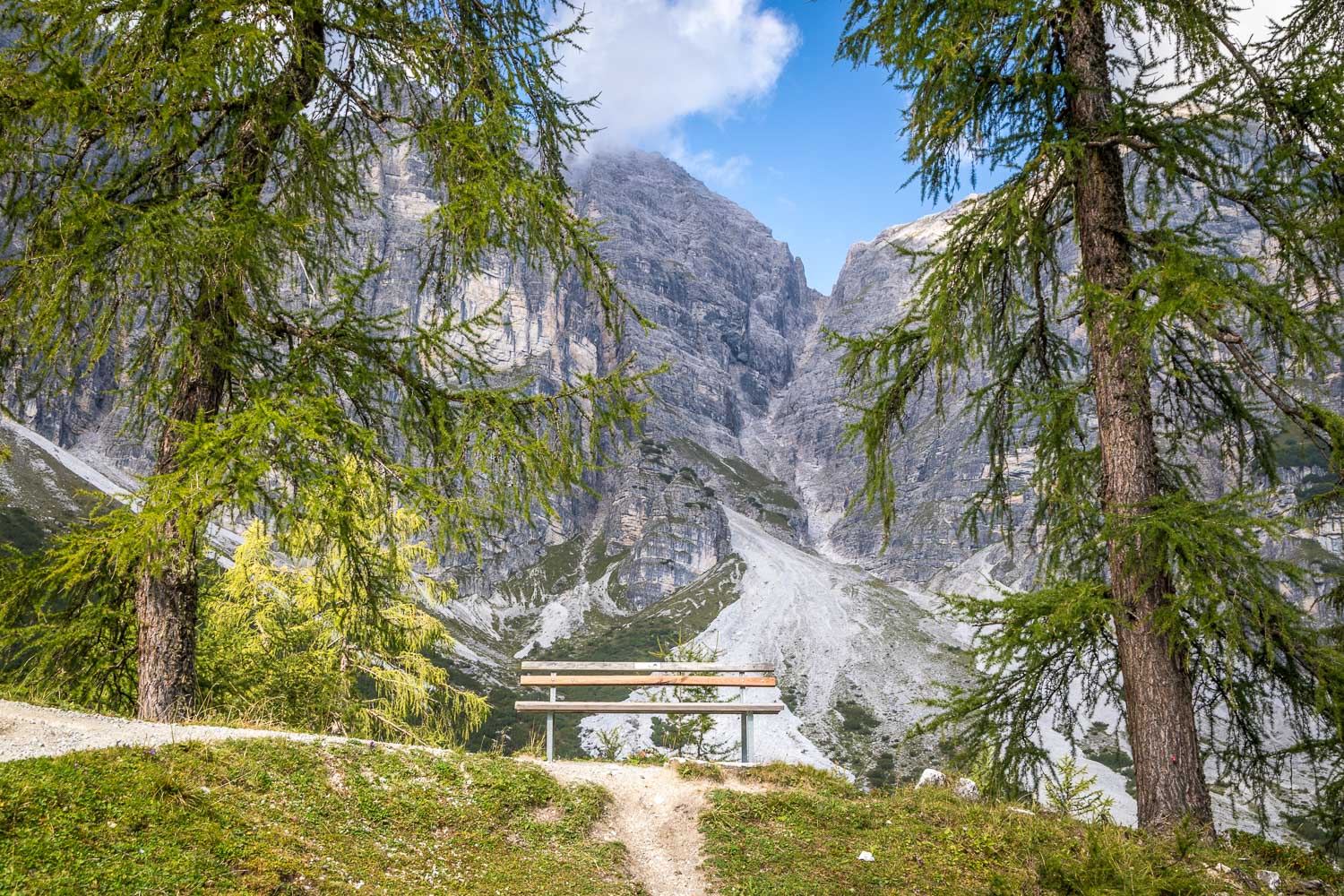
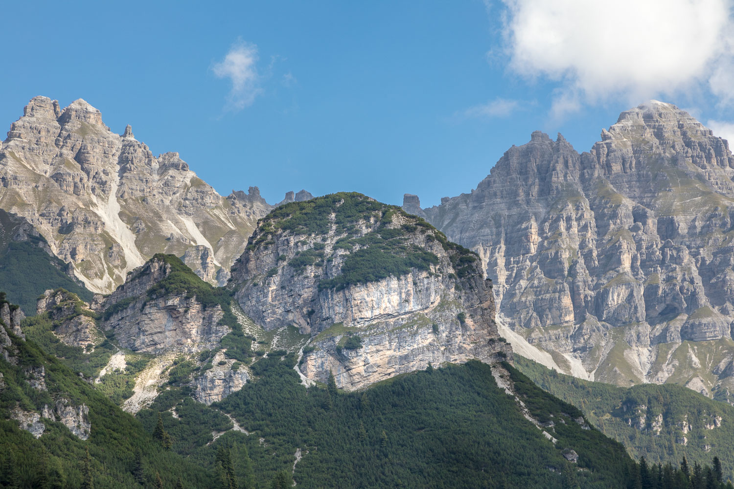
The view from the mountain station at the start of the walk was sensational – an array of peaks over 8,000 feet high making up the Stubai mountain massif. Before setting off on our planned walk we made a 15 minute there and back diversion along the Panorama Trail, at the head of which is a viewing platform with even better views
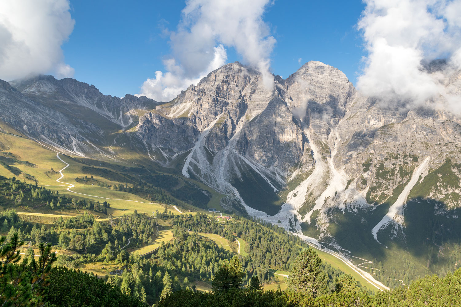
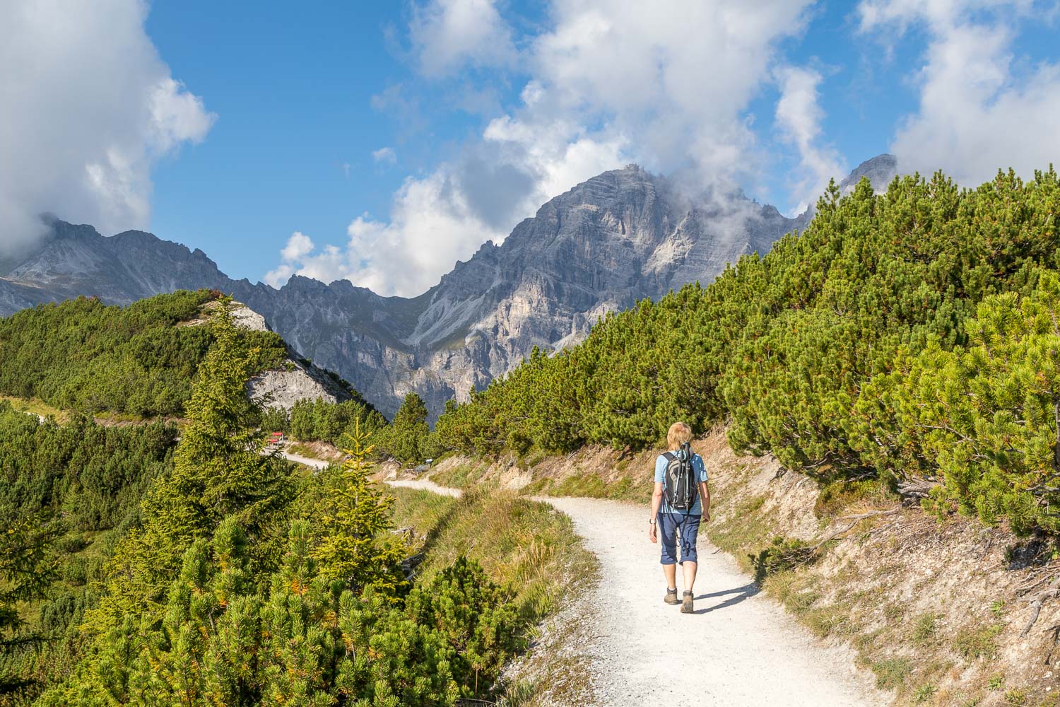
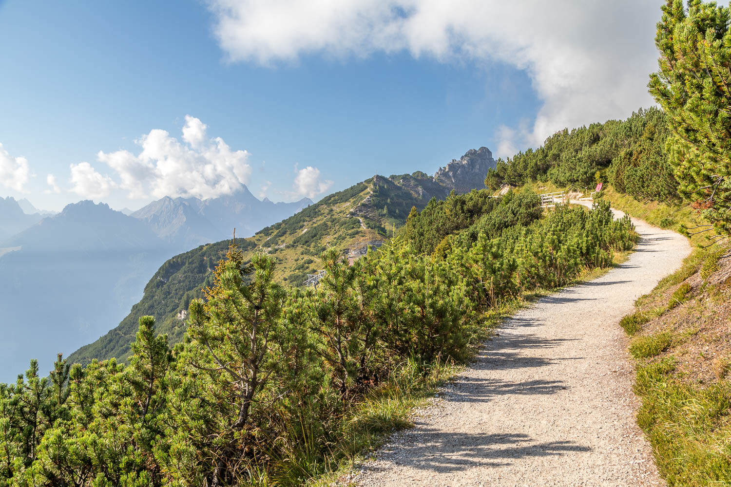
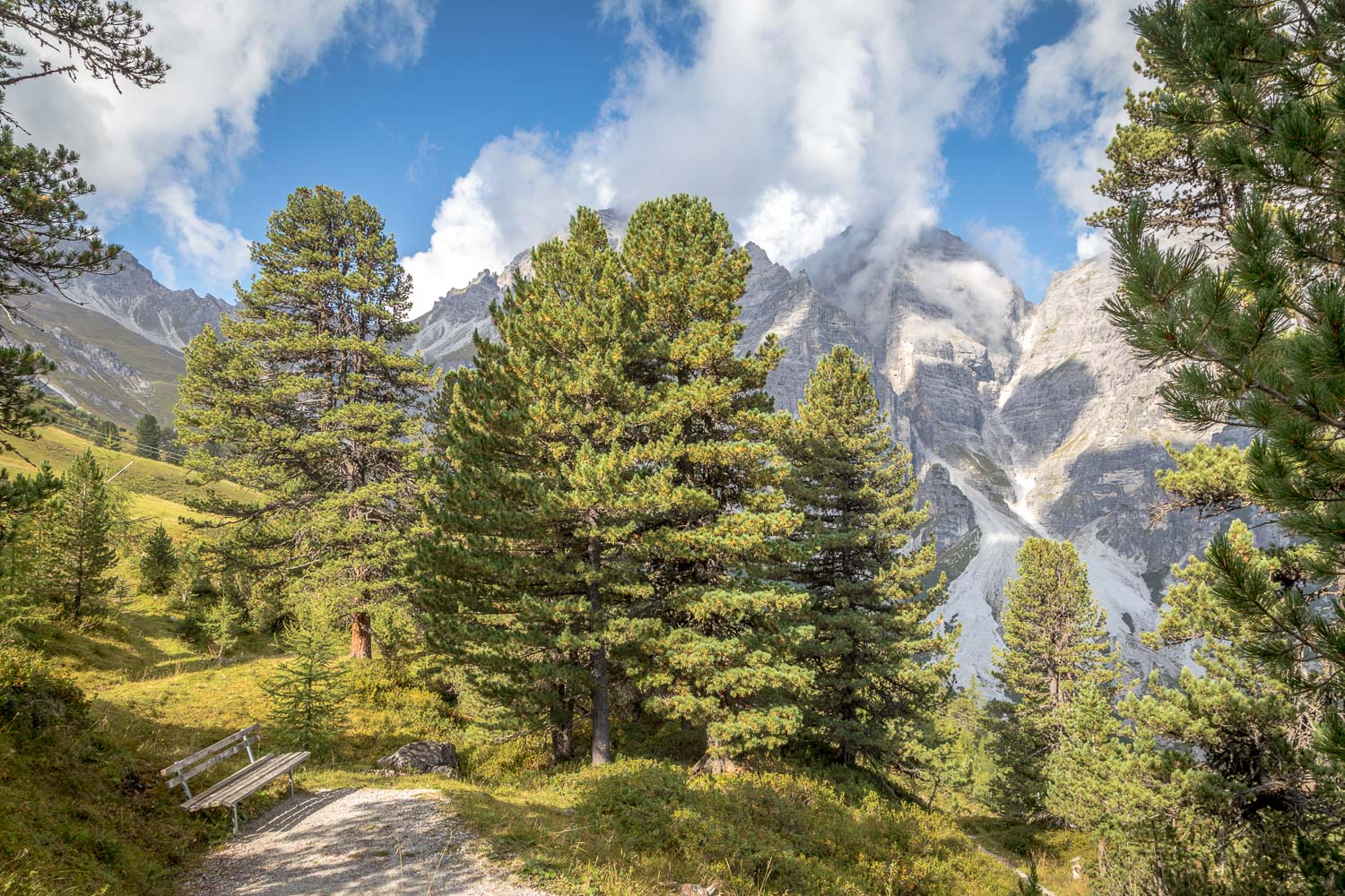
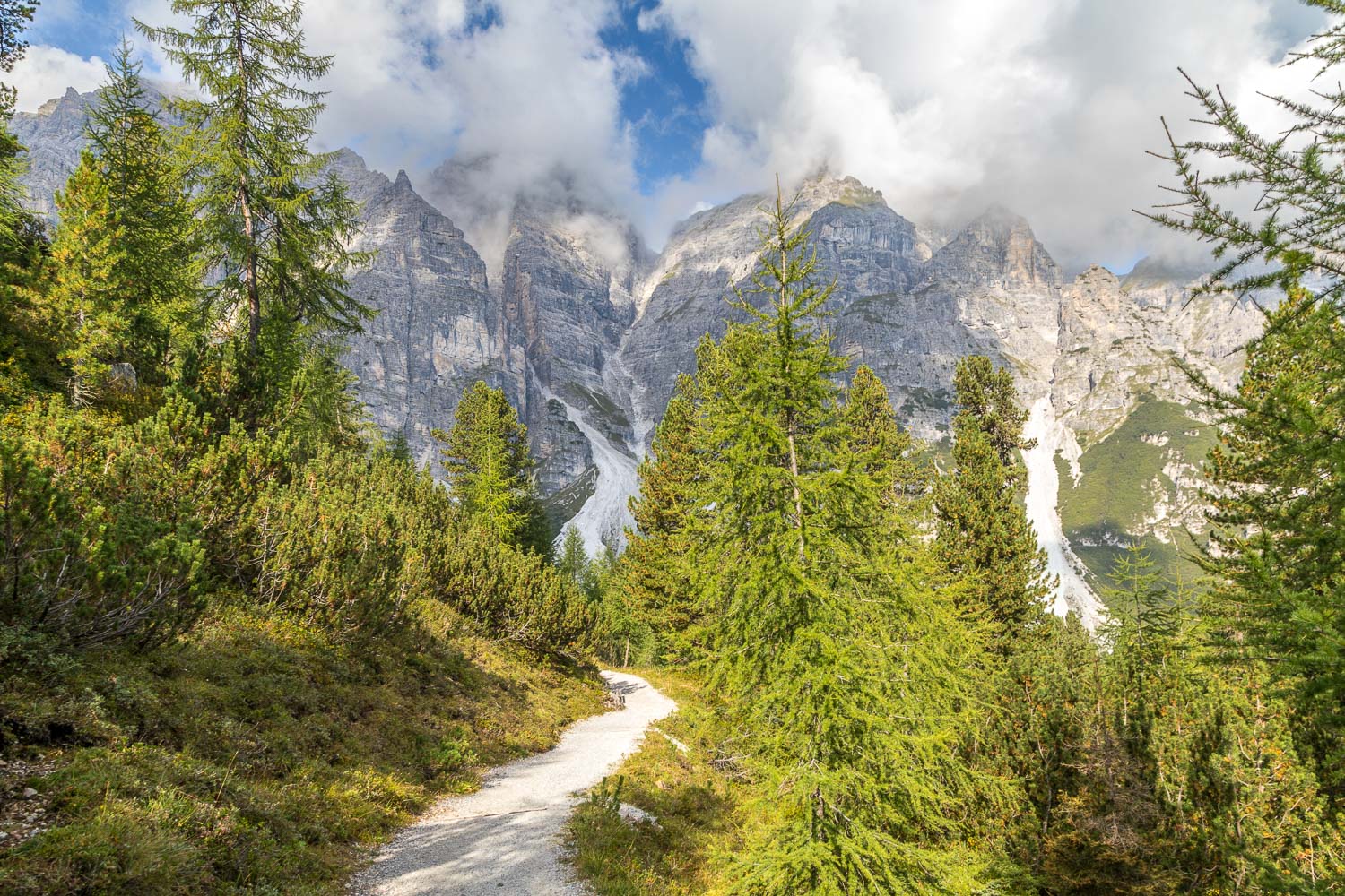
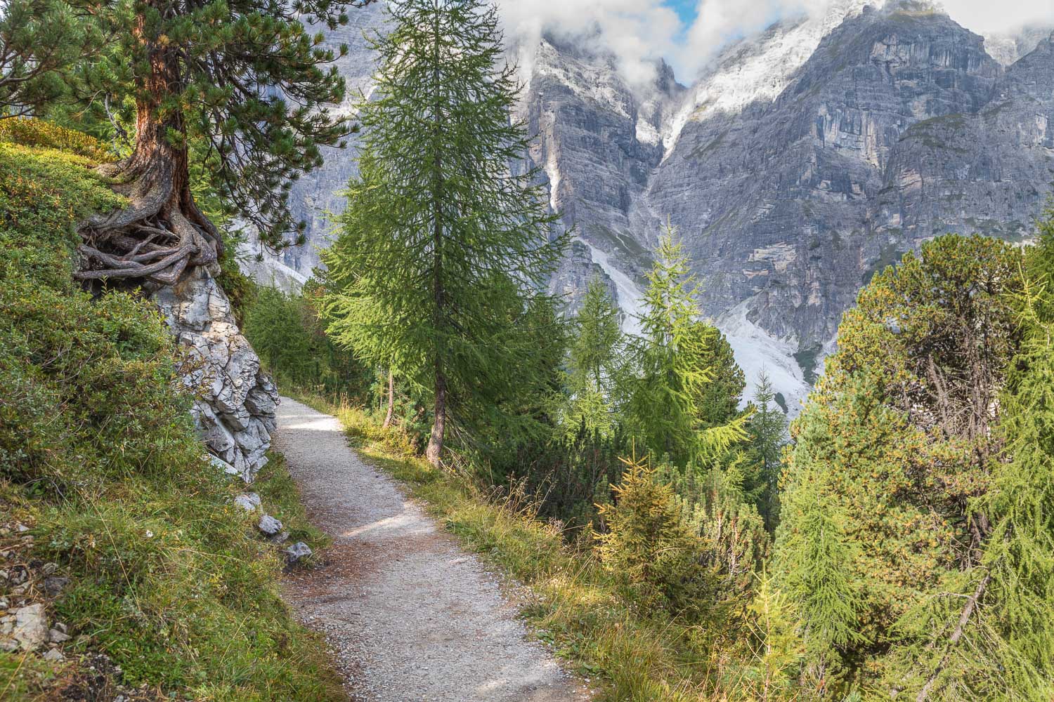
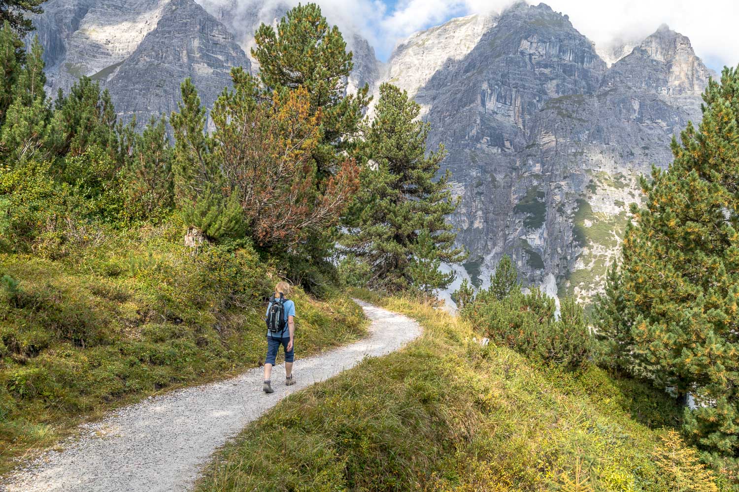
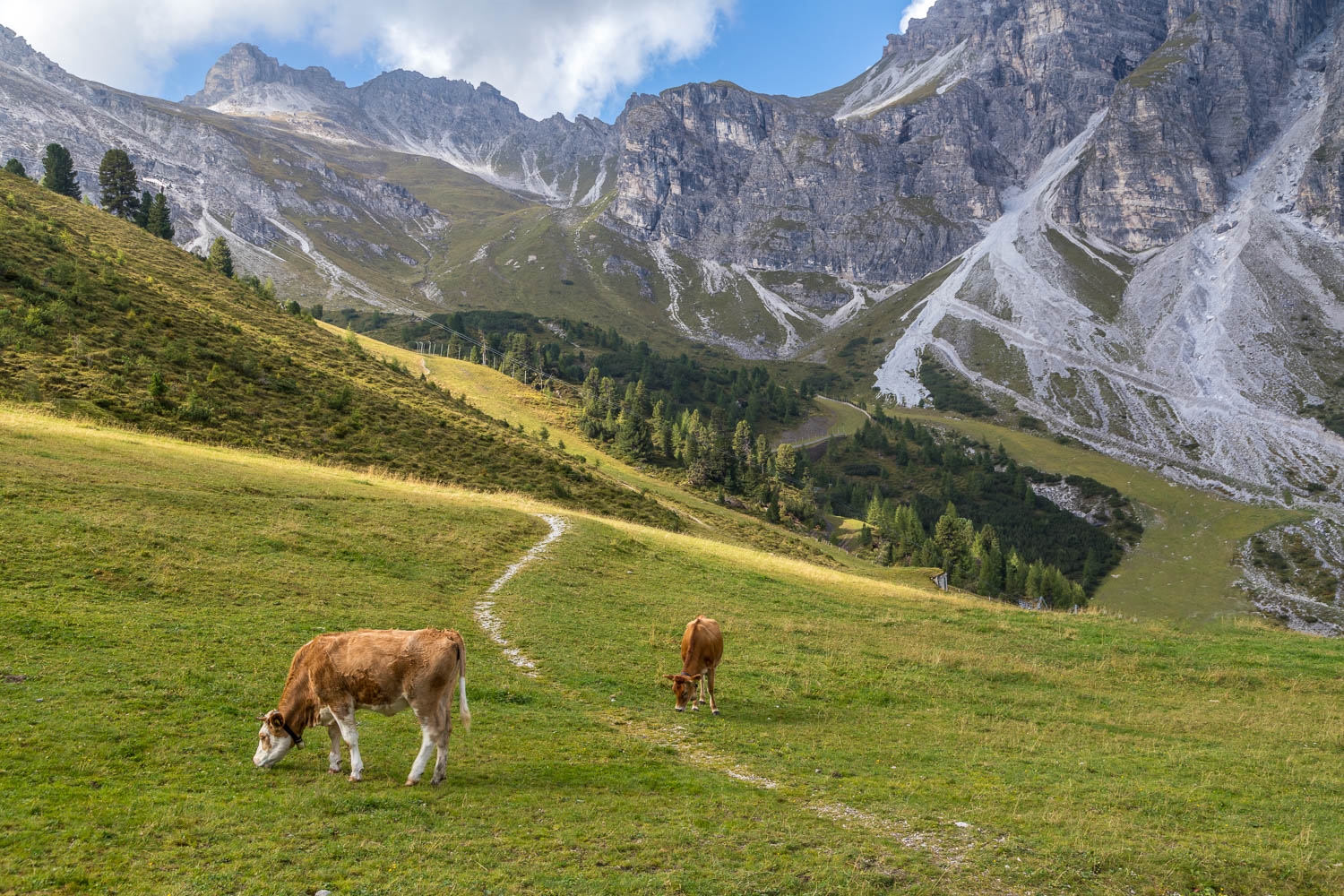
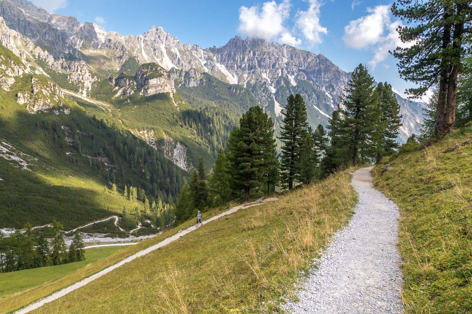
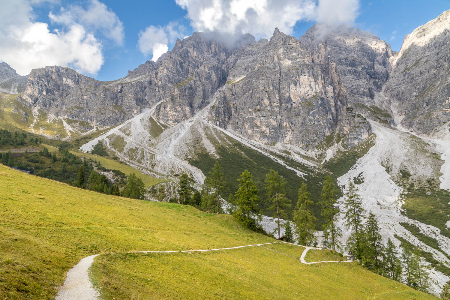
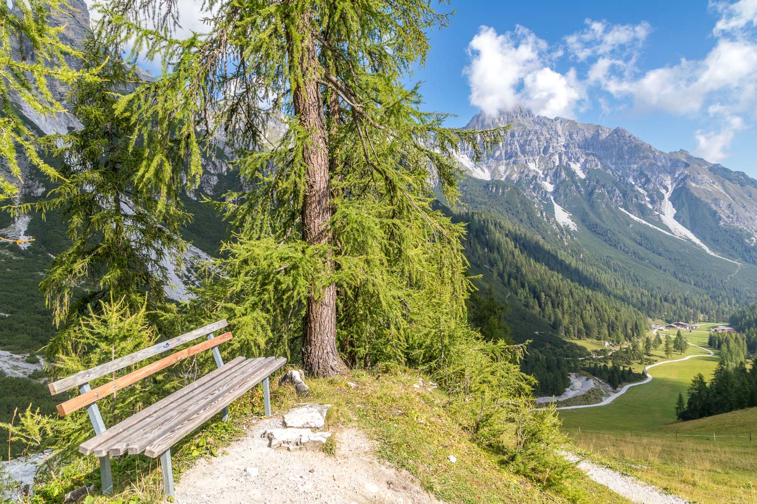
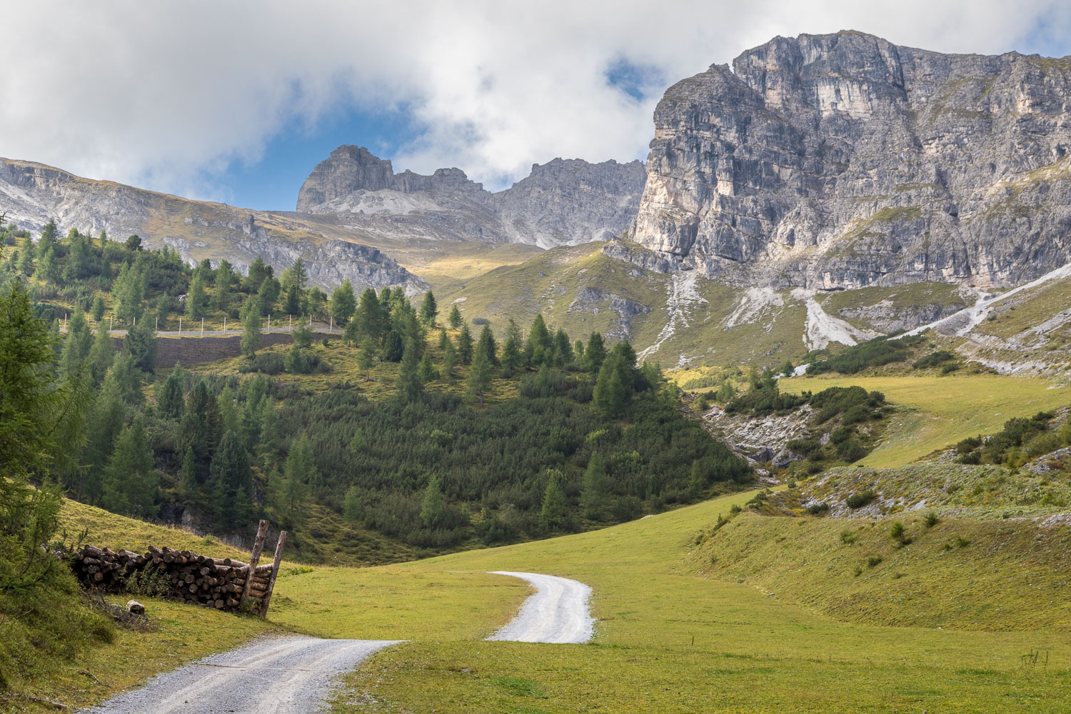
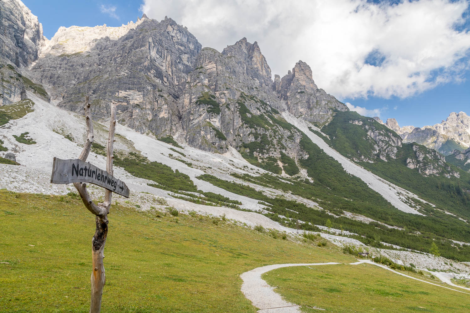
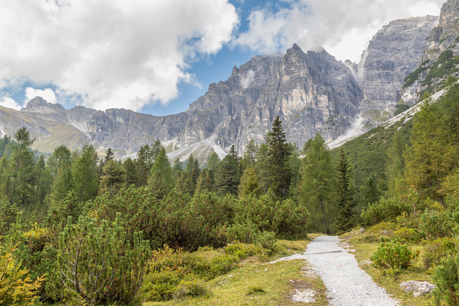
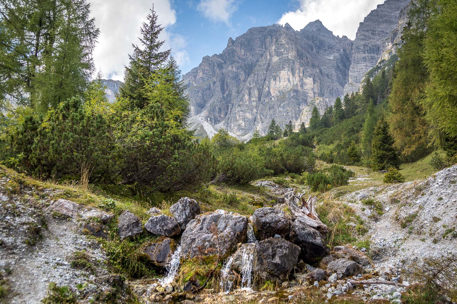
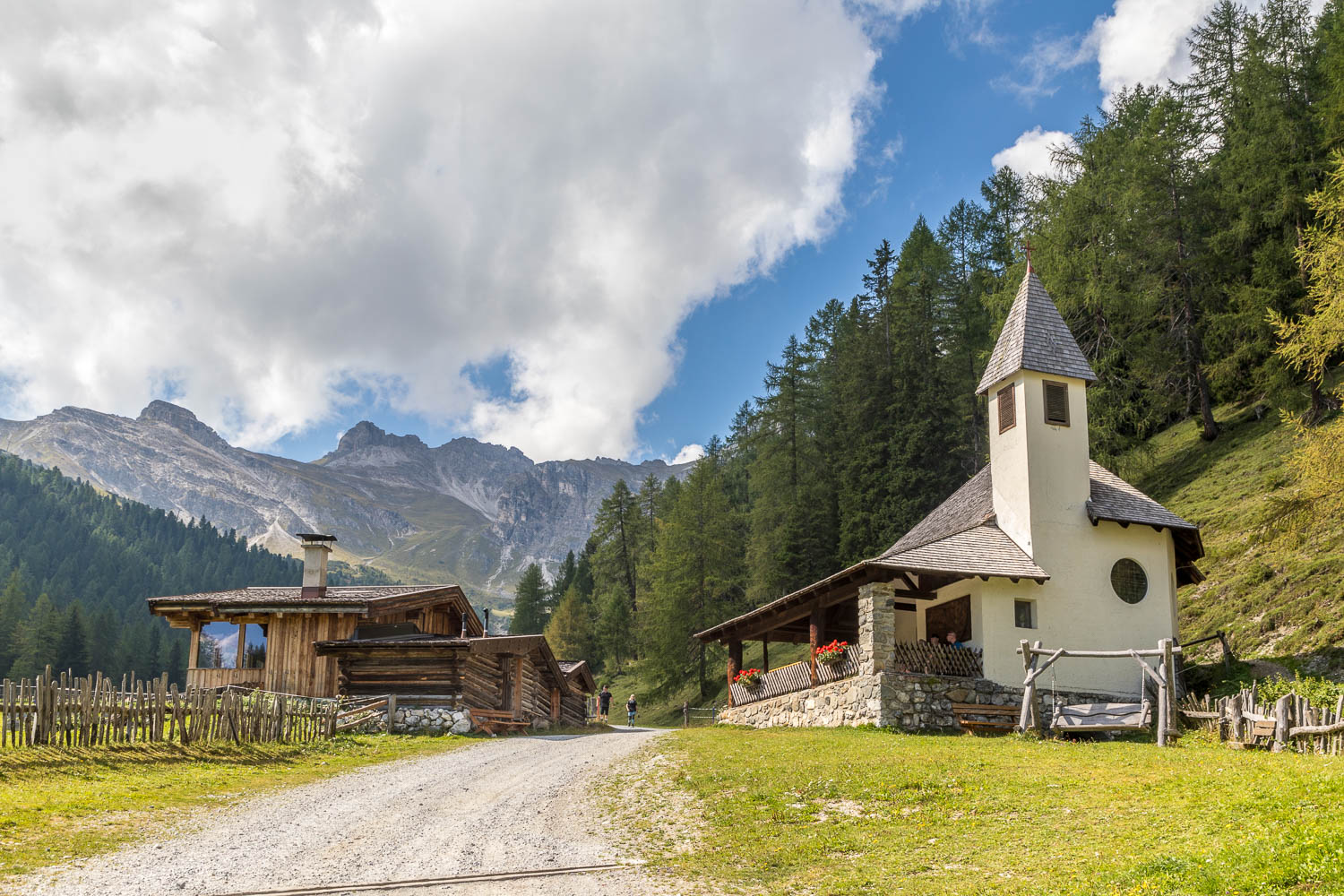
After returning to the mountain station we set off along the waymarked Nature Trail, which is an easy descent all the way. The views were breathtaking, and shown in good light thanks to a few clouds. We eventually arrived at the Schlickeralm Hütte and paused here for refreshments
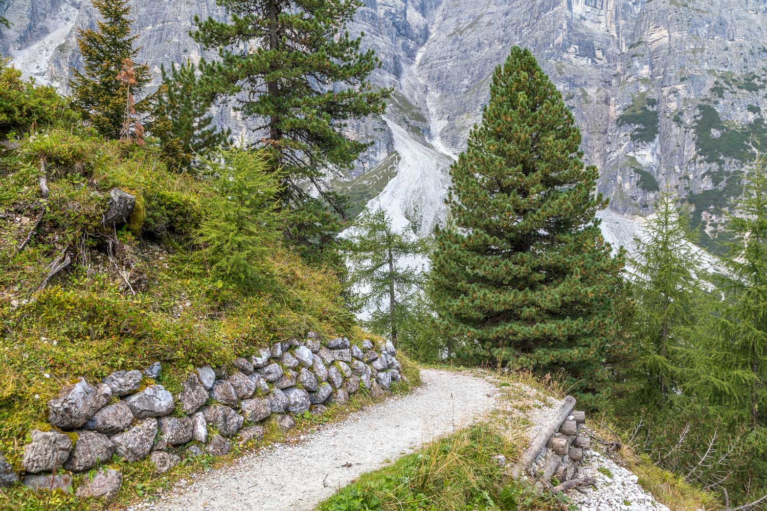
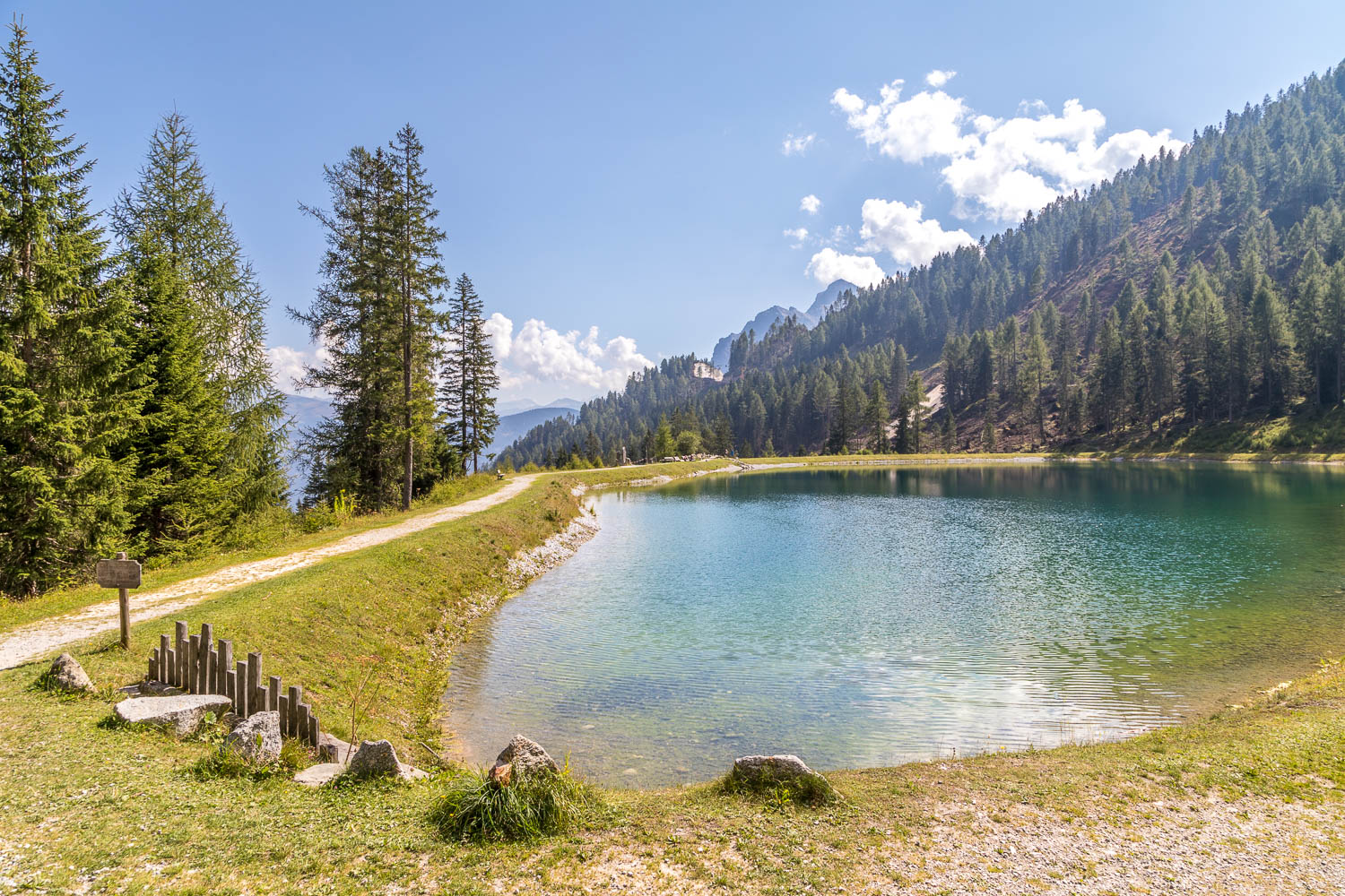
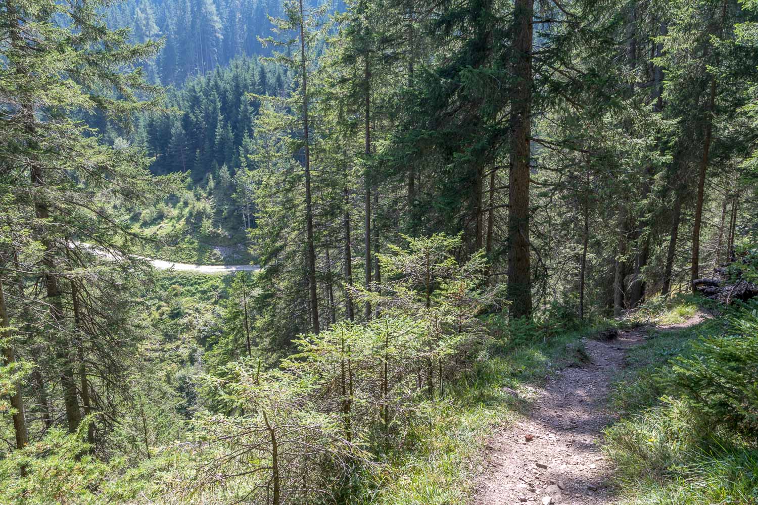
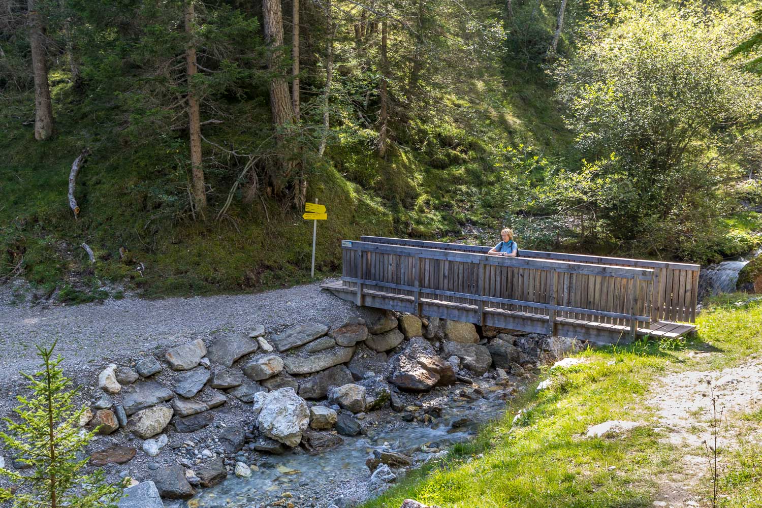
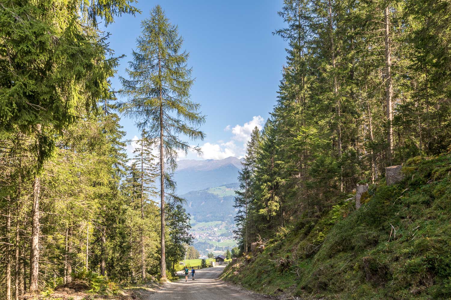
The path continued down as far as a large mountain pond known as the Panoramasee. We were aware that the remainder of our planned route could be closed, as it was severely damaged by storms and this proved to be the case. No matter, as an alternative descent path took us down through woodland to meet a track leading back to the middle station. This part of the descent was rougher and steeper but there were no dangers or difficulties and it was a good way down. On arriving at the middle station we took the cable car back down to Fulpmes to end a red letter day
Click on the icon below for the route map
Scroll down – or click on any photo to enlarge it and you can then view as a slideshow
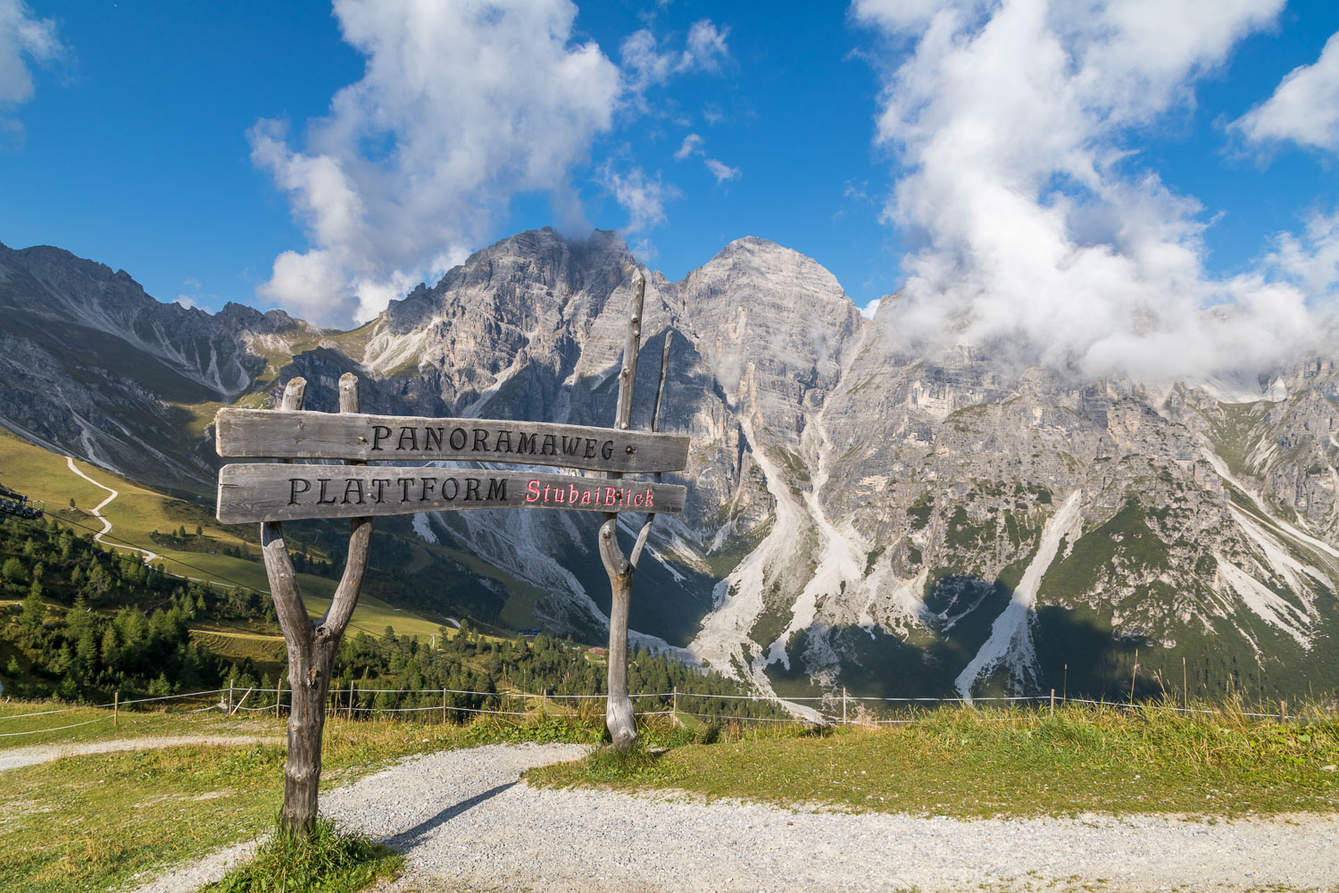
A wonderful view as we alight from the cable car. Before we set off on the walk, we make a short there and back diversion along the Panorama Trail to a viewing platform
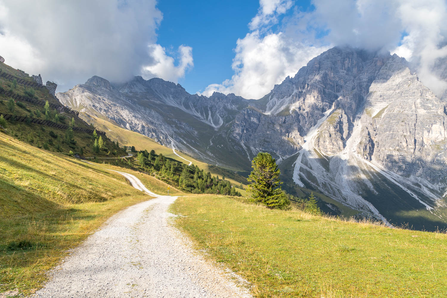
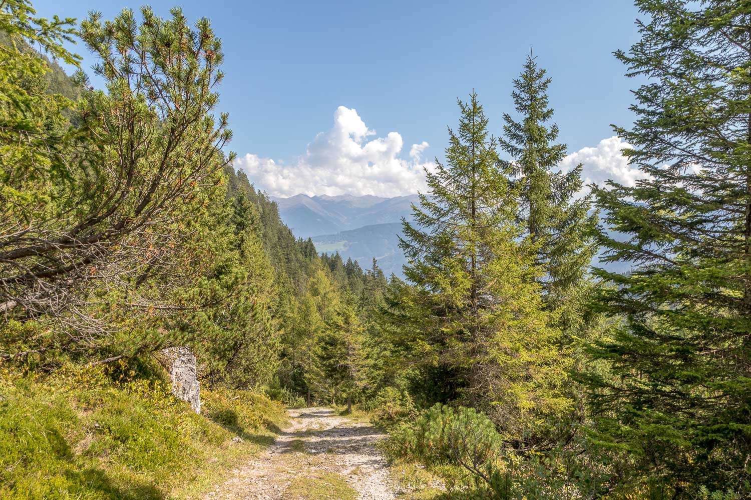
The start of the walk proper as we set off down into the valley, following signs for the Naturlehrweg (Nature Trail)

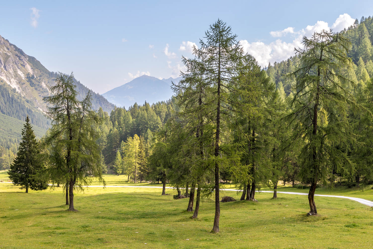
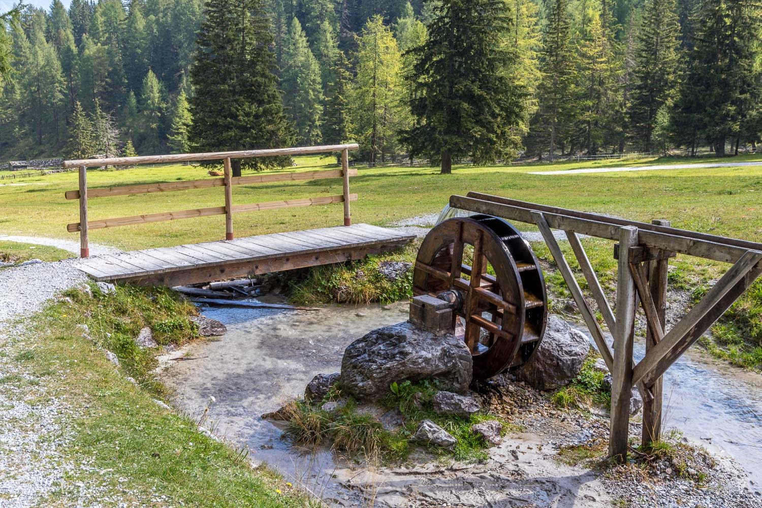
We arrive at Schlick where there is a restaurant, Schlickeralm Hütte. It's possible to end the walk here by calling for a taxi
