Route: Circuit of Buttermere
Area: Western Lake District
Date of walk: 19th January 2023
Walkers: Andrew and Gilly
Distance: 5.1 miles
Ascent: 400 feet
Weather: Mixed sun and clouds, snow on the tops, very cold
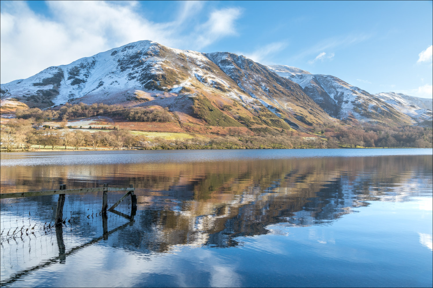
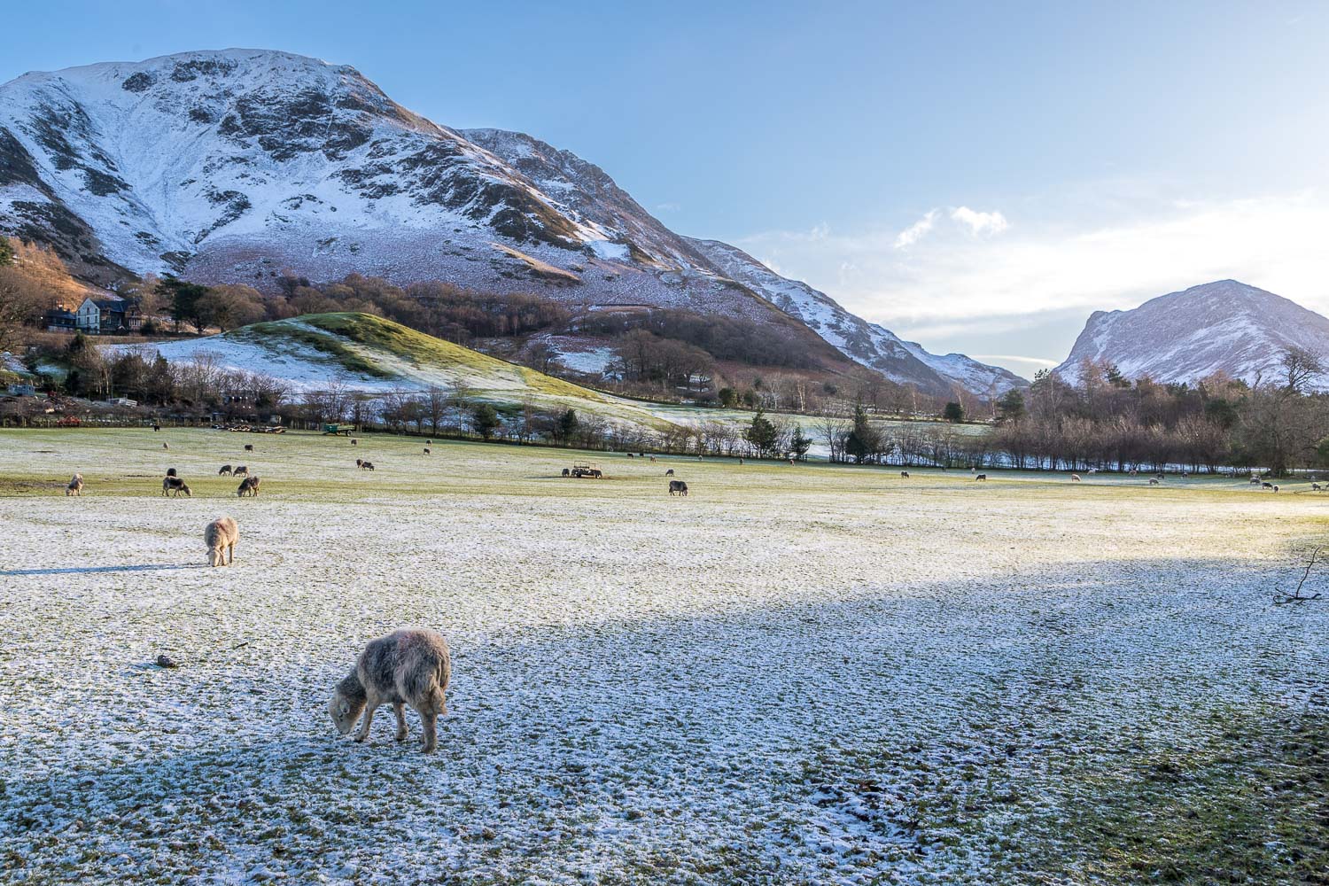
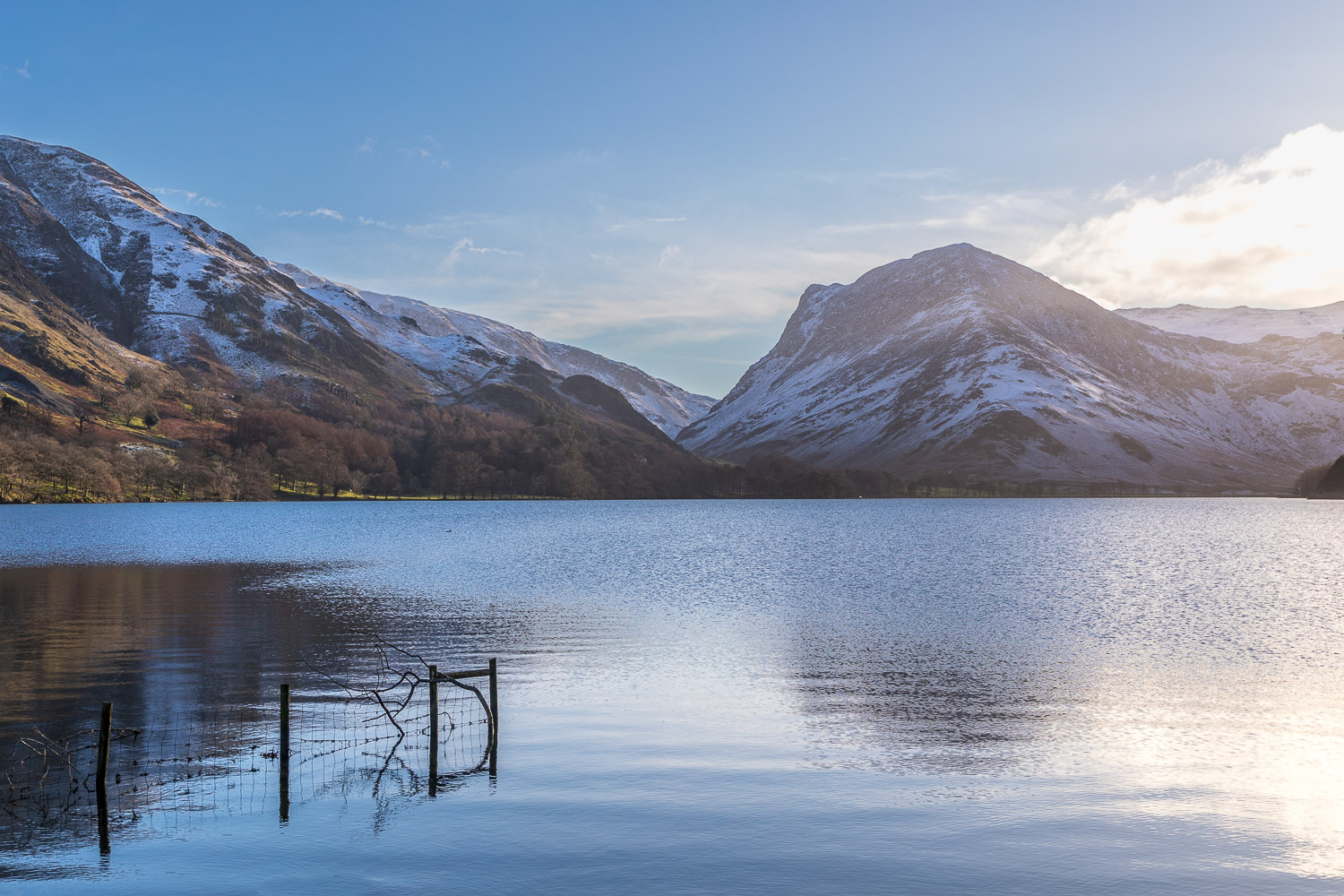
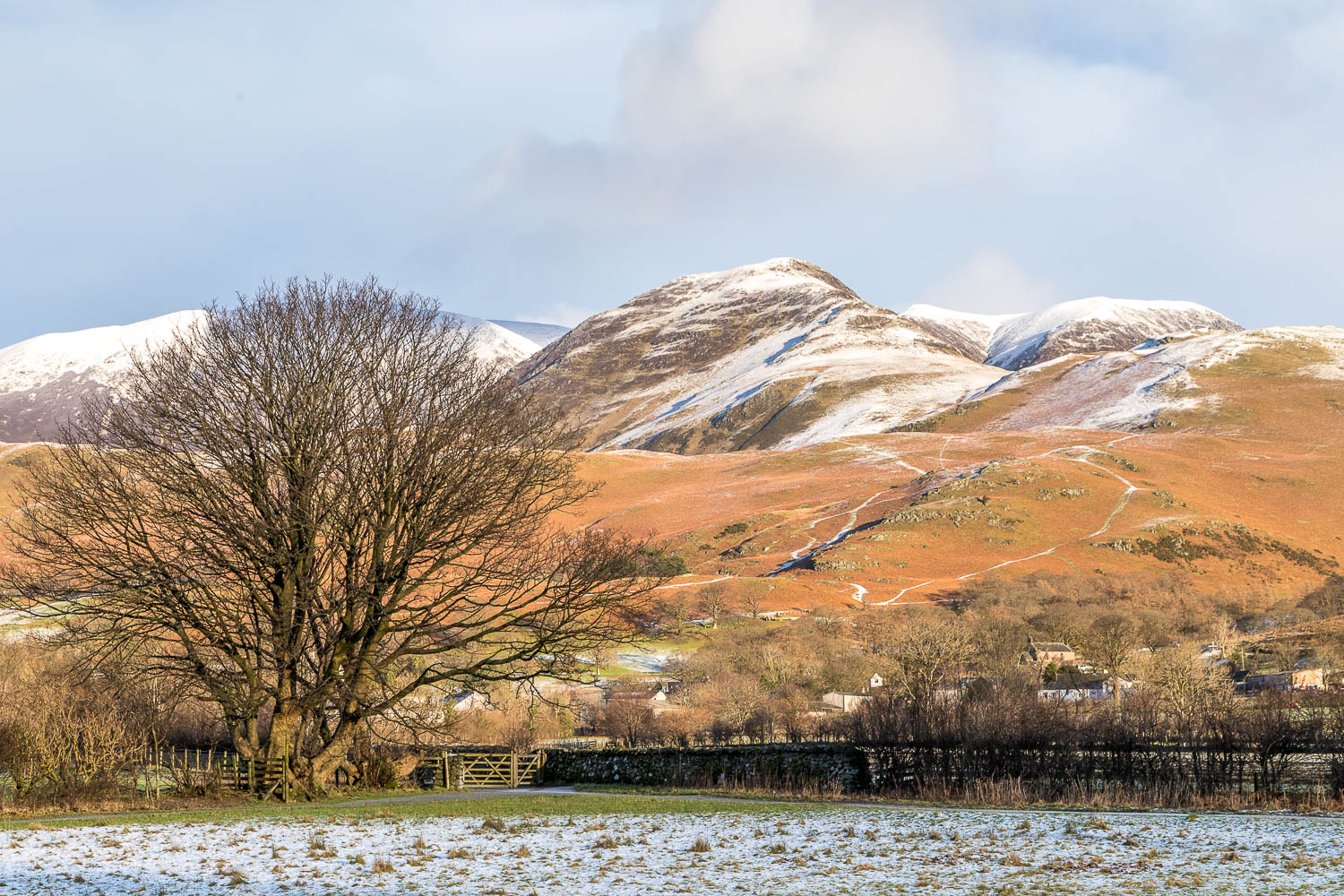
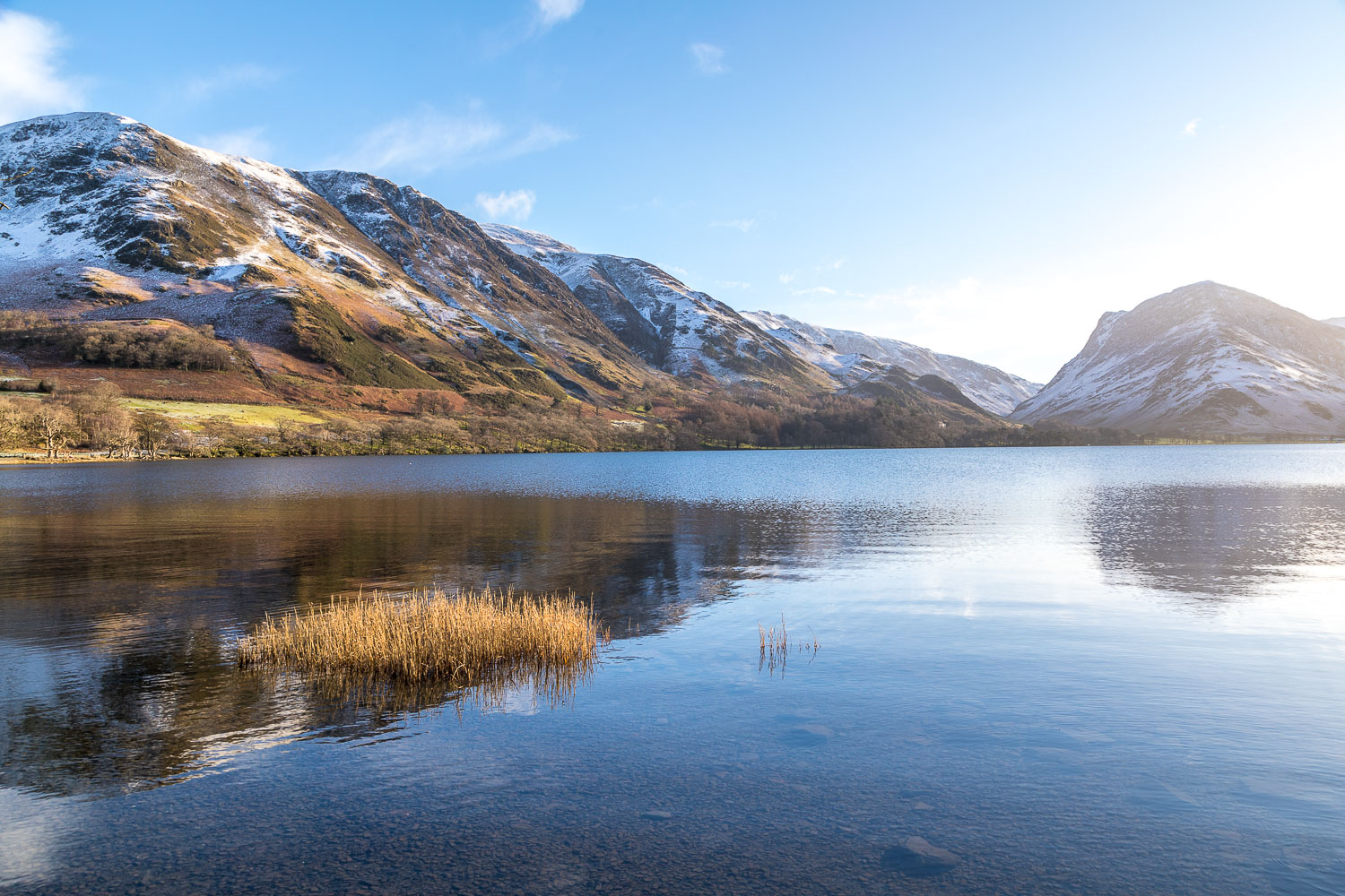
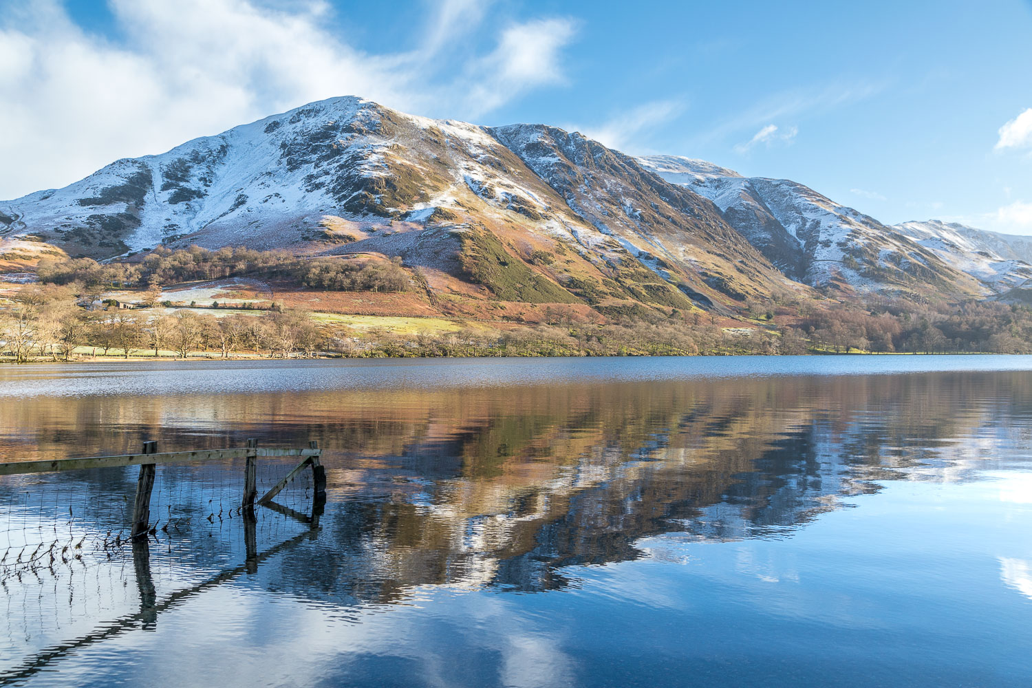
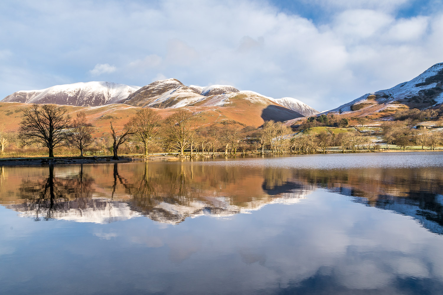
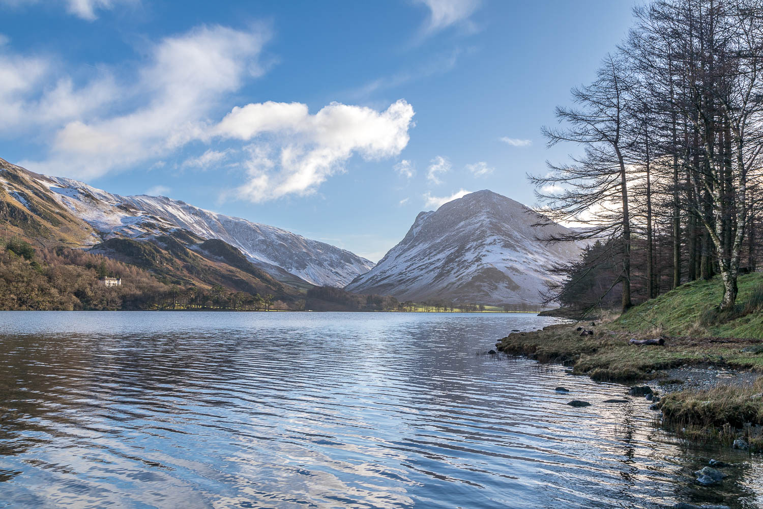
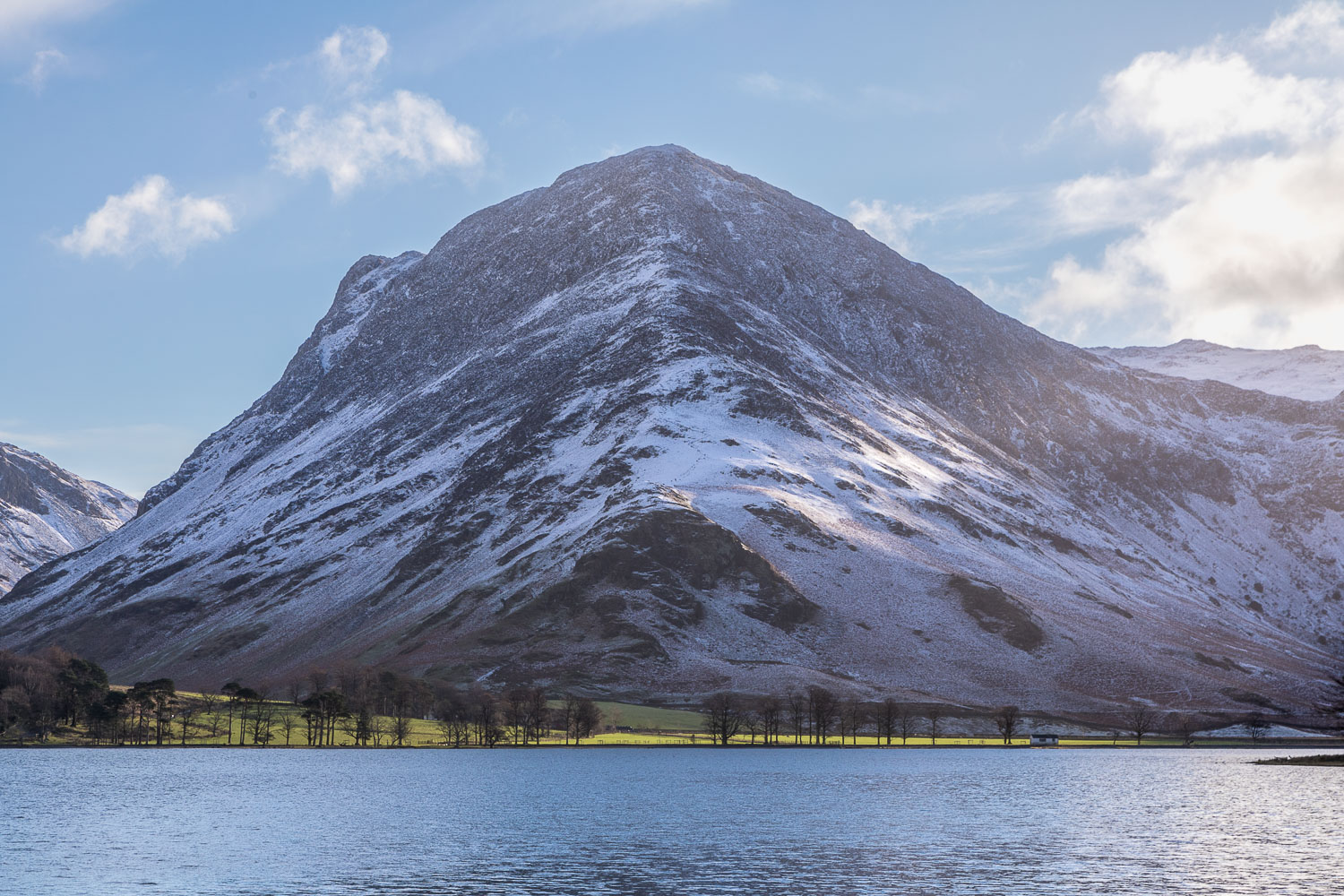
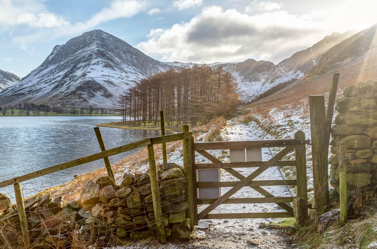
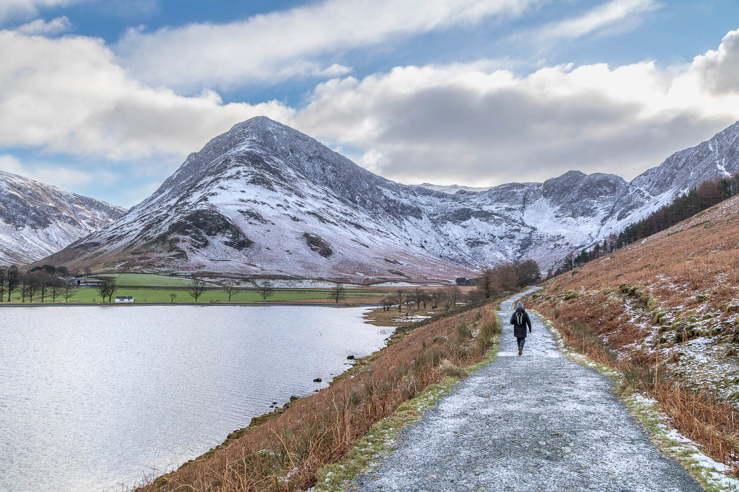
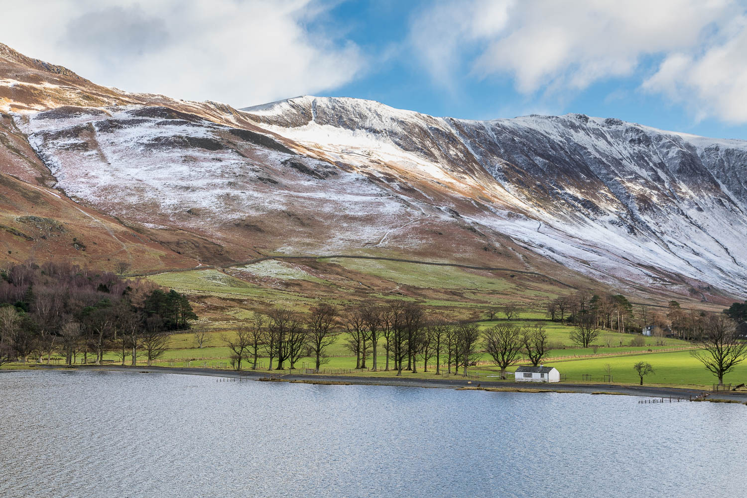
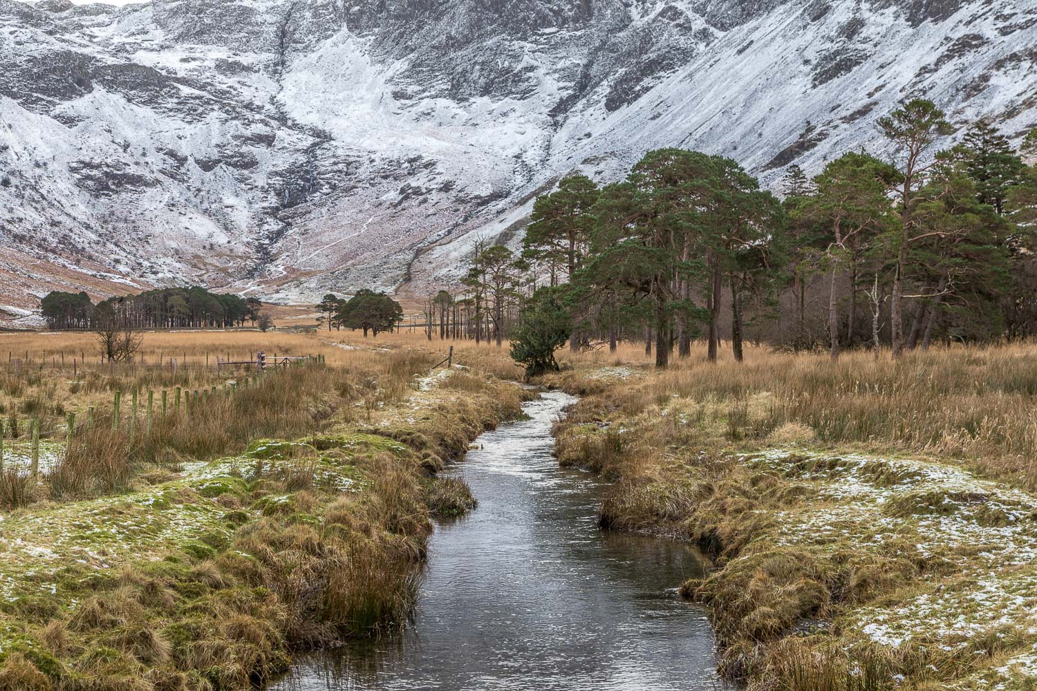
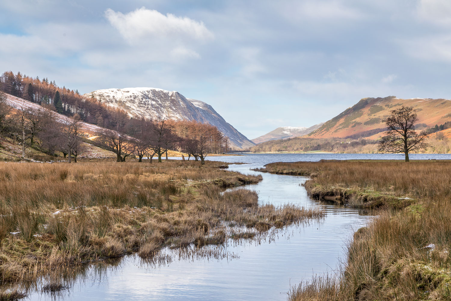
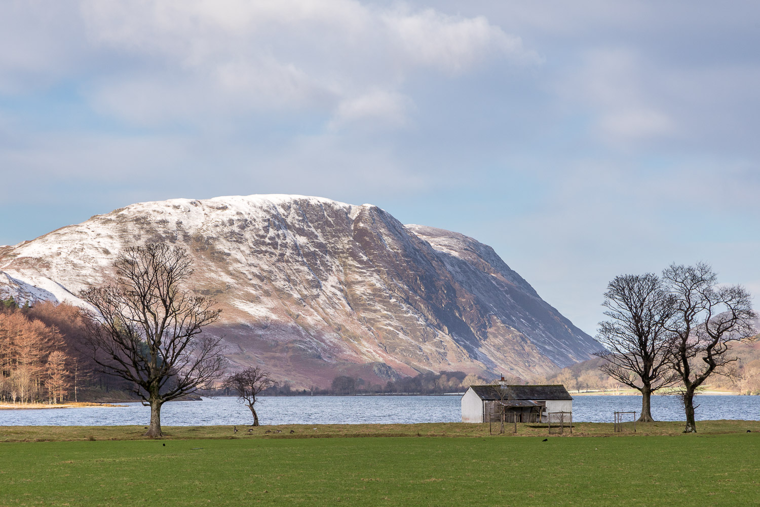
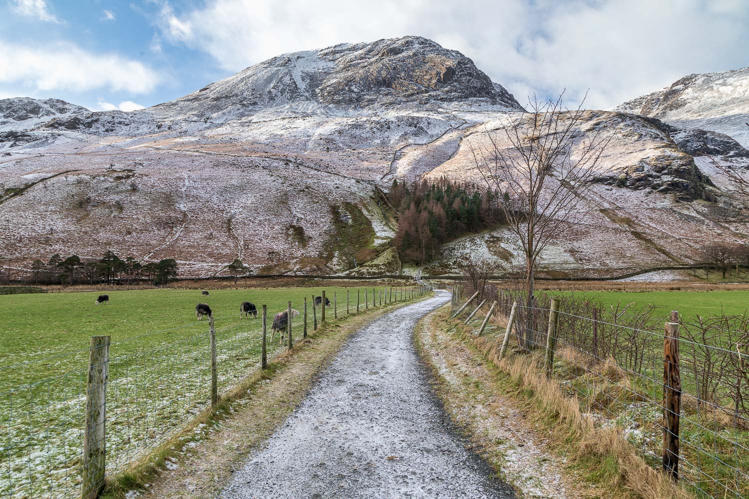
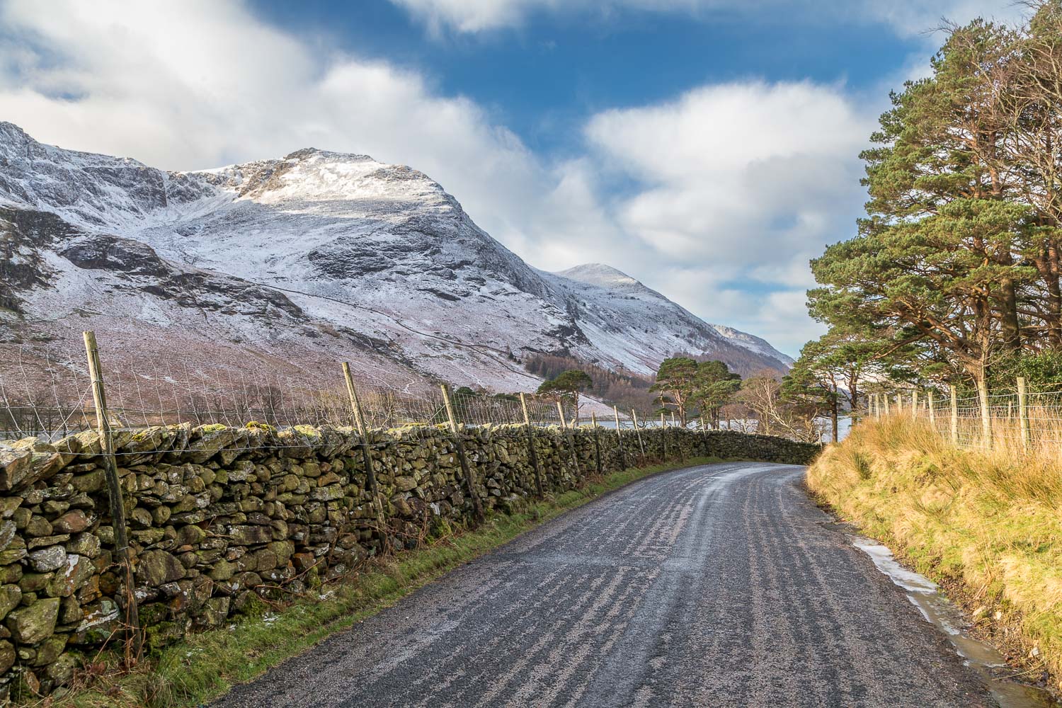
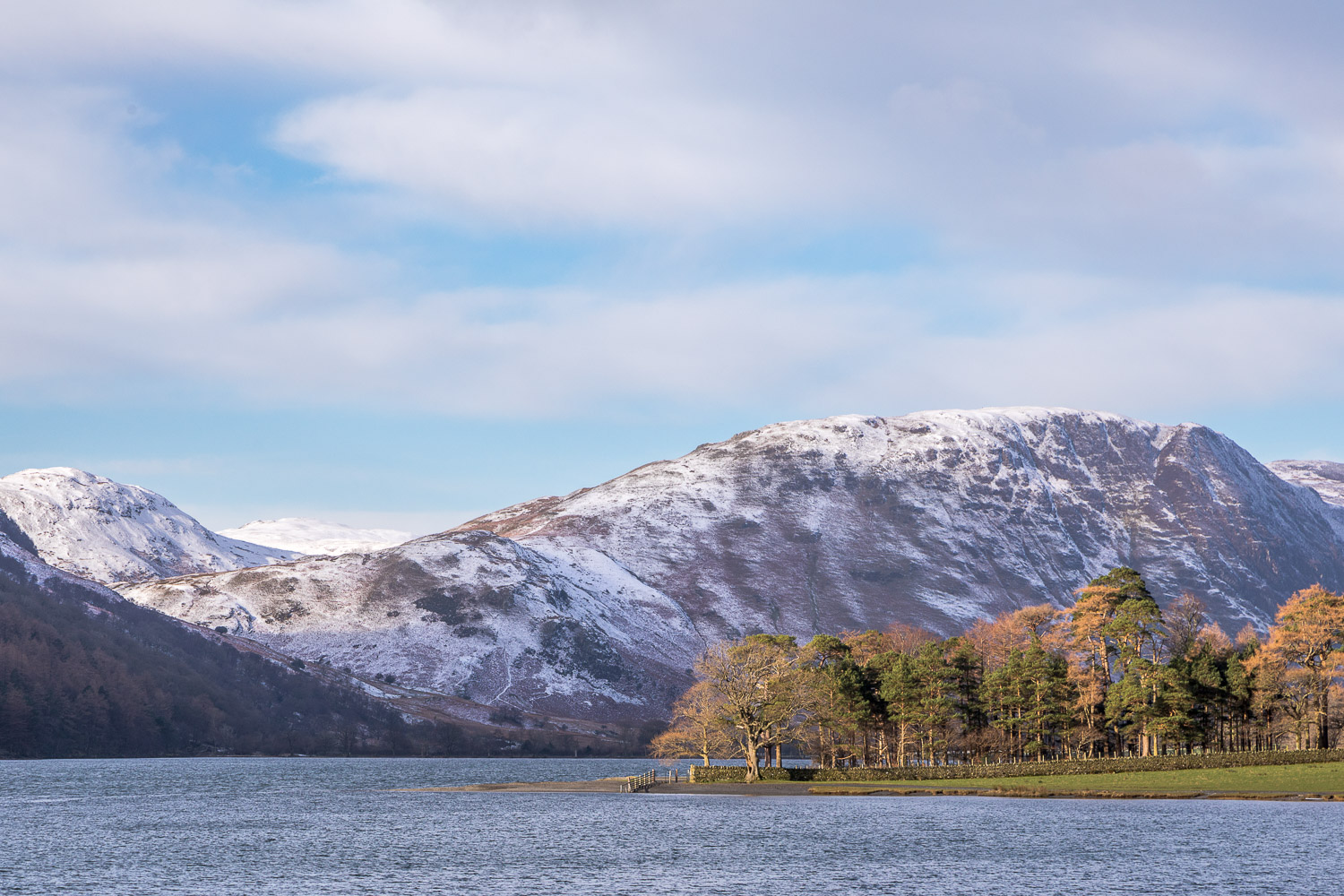
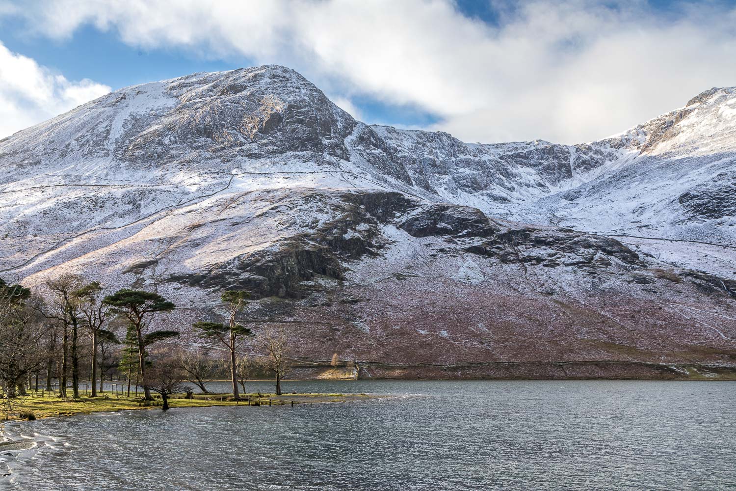
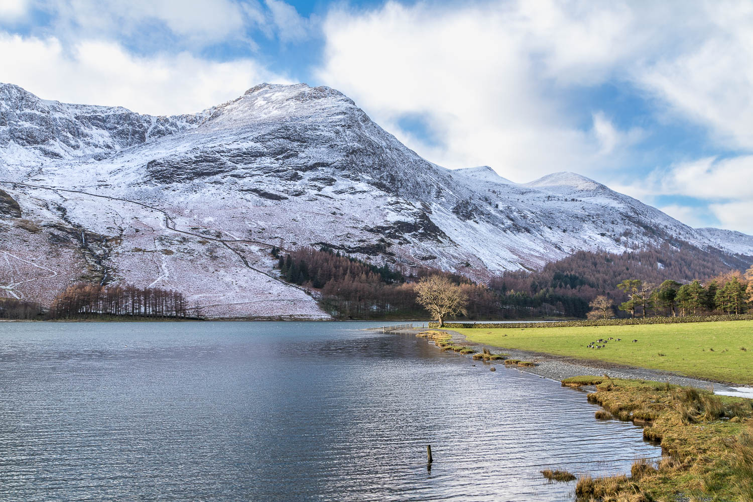
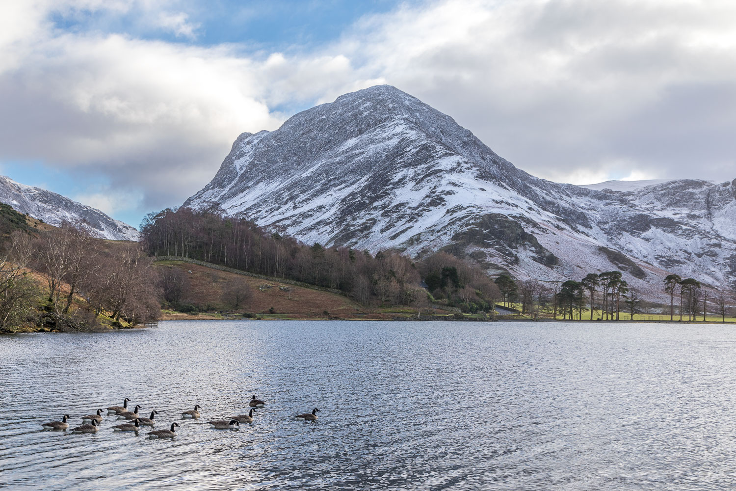
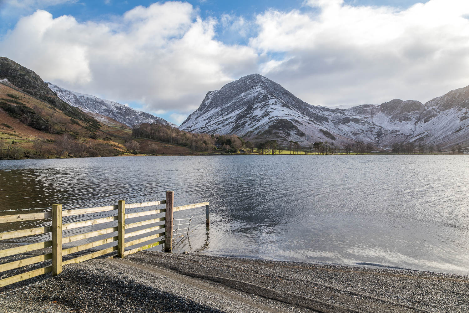
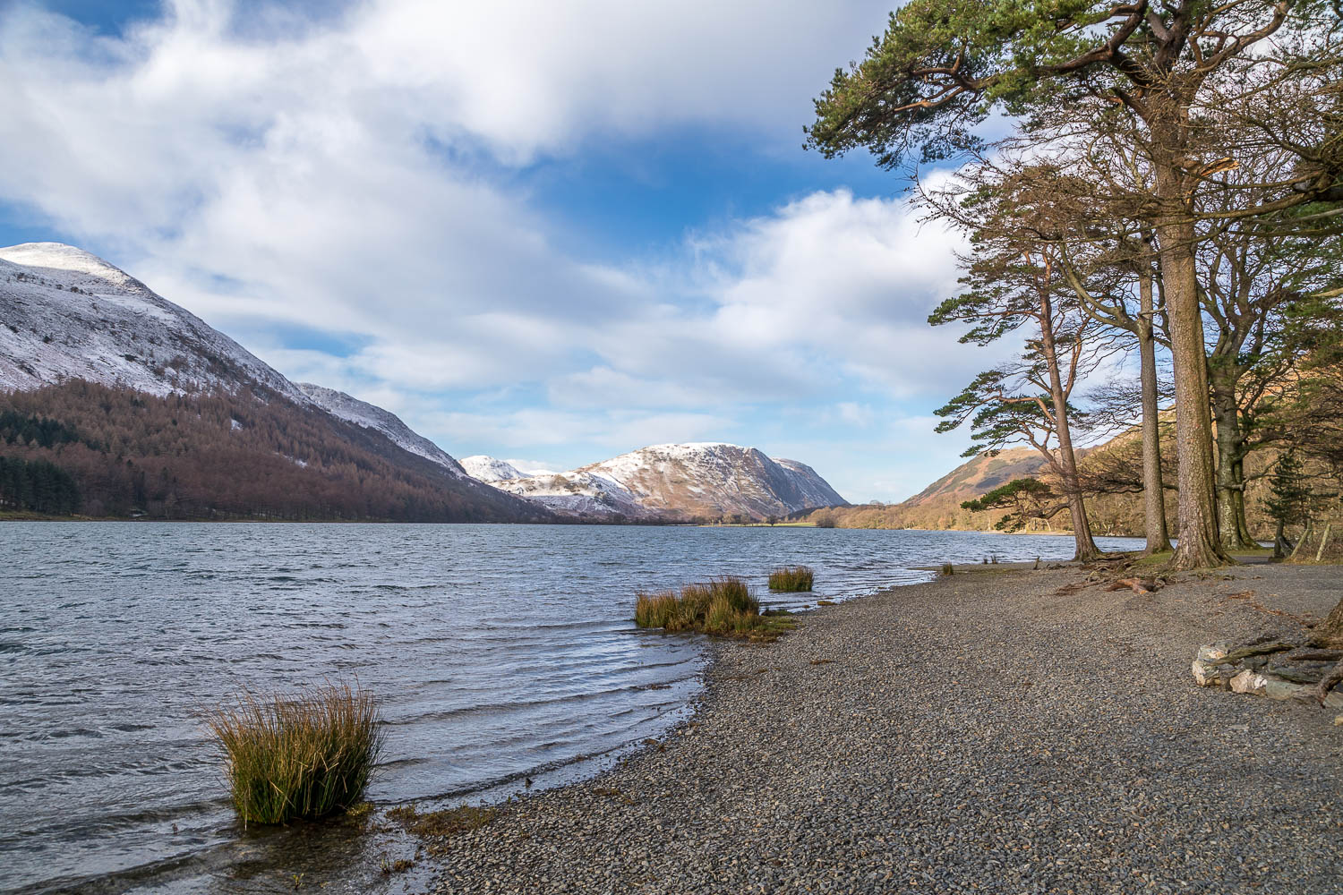
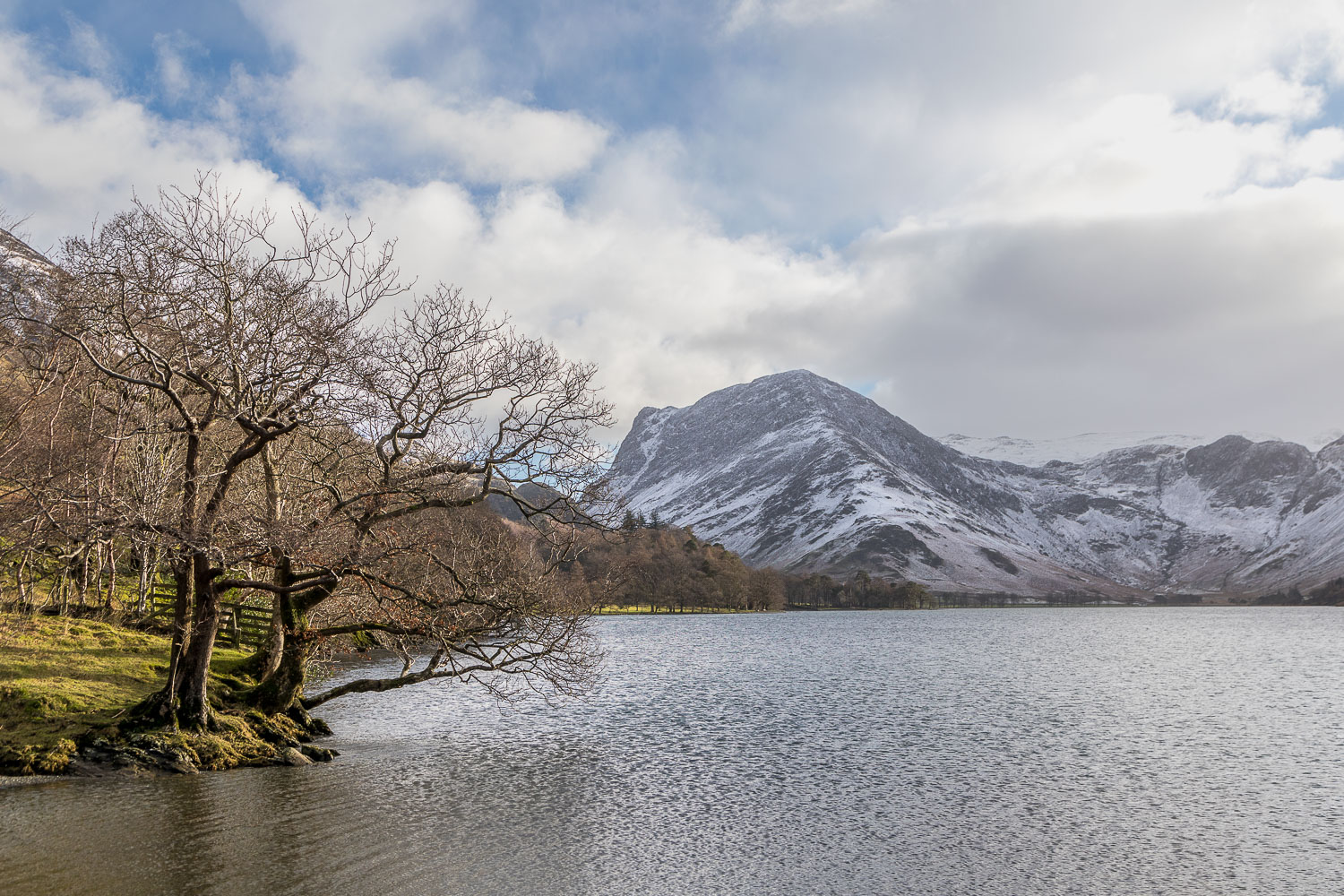
After a dusting of snow the lakeland fells were looking at their best this morning, so we decided to revisit Buttermere, one of the most beautiful places in the district. I was here exactly three months ago, but no two visits are the same and I could never tire of this walk
The classic circuit of Buttermere appears nearly 30 times on this site and is one of the finest walks in the Lake District. The beauty and accessibility of the walk is both a virtue and a problem in that the path can be too busy at peak times and, if you prefer to walk in relative solitude, then it’s best to choose a quiet day and time. Icy roads meant that several of the approach roads were closed today, so we knew that there would only be a few other folk around
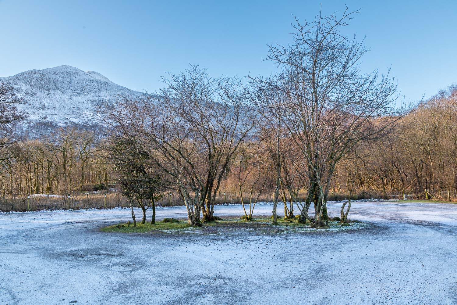
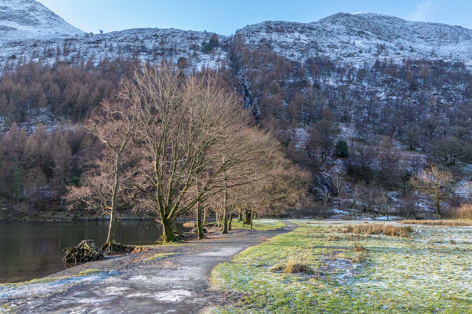
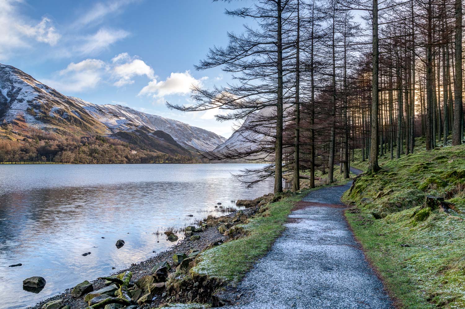
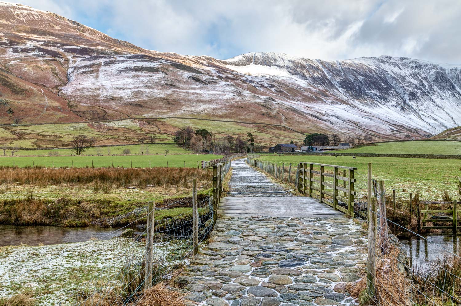
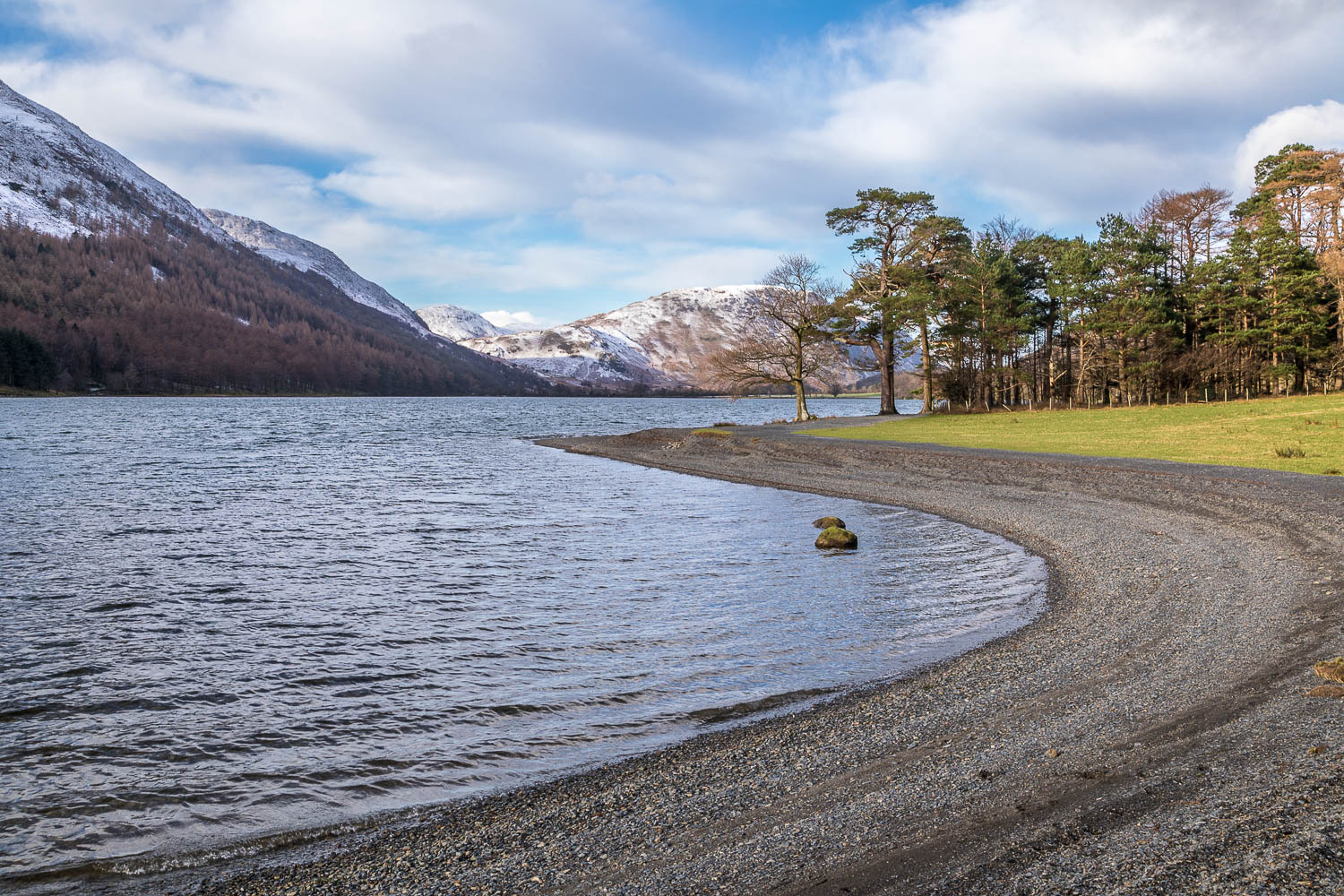
We parked as usual in the National Trust car park at Long How, which was completely deserted for once. We walked through Buttermere village, passing by the Buttermere Court Hotel, and followed the path to the foot of the lake. We prefer to walk around Buttermere in an anti-clockwise direction in order to keep the best views ahead. After crossing the footbridge over Buttermere Dubs we set off along the lakeshore path which leads to the head of Buttermere
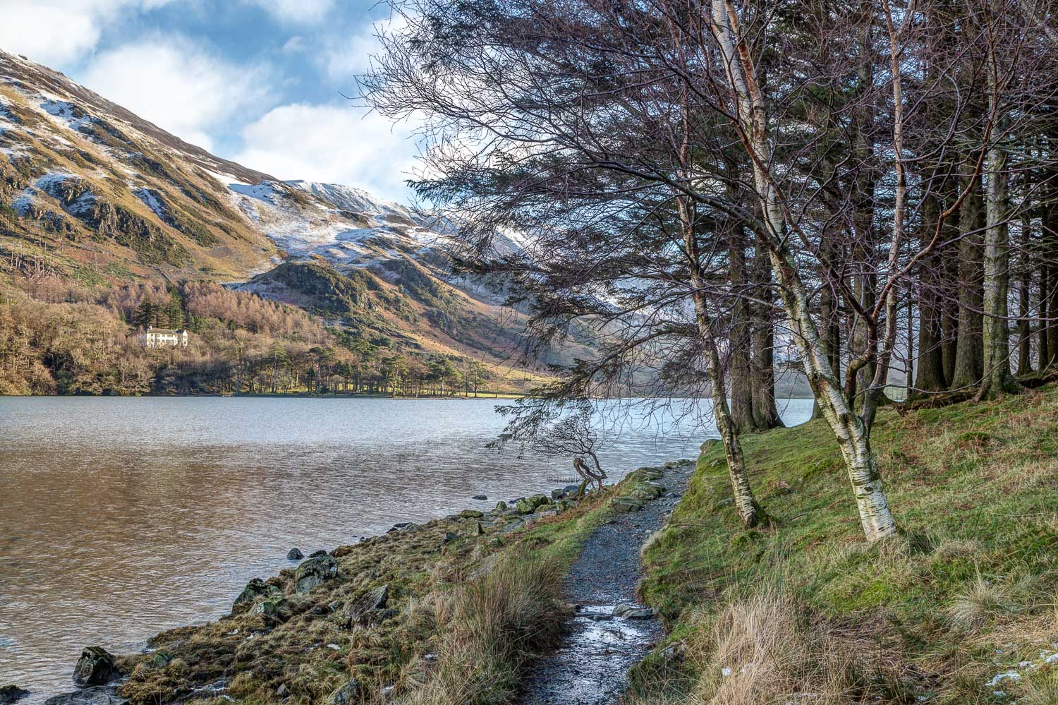
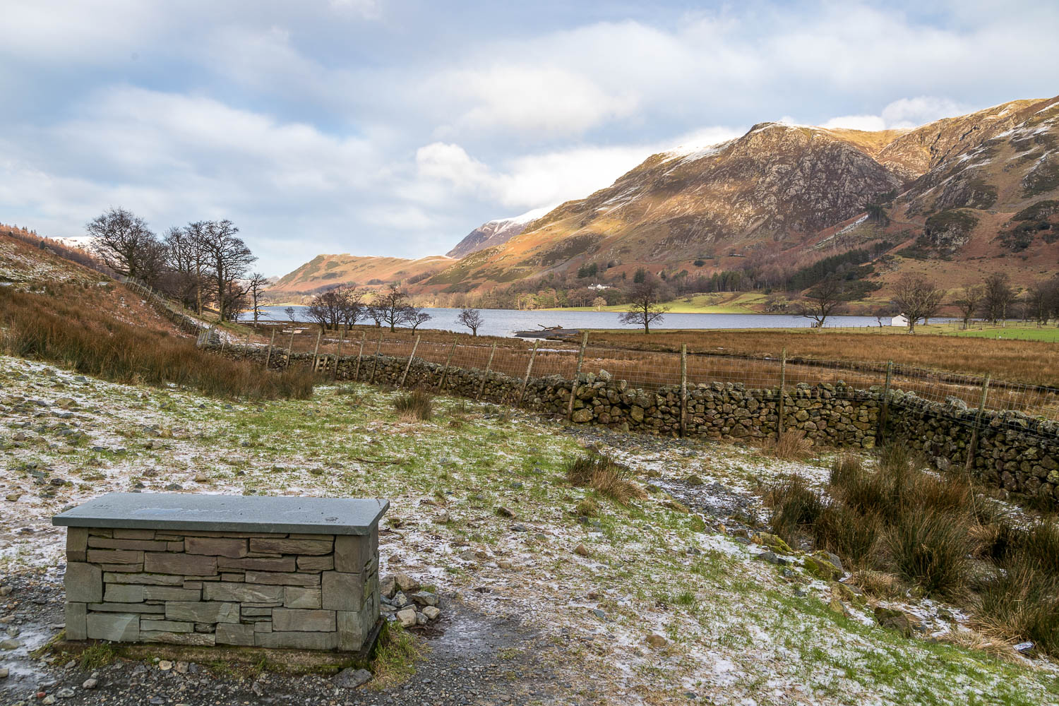
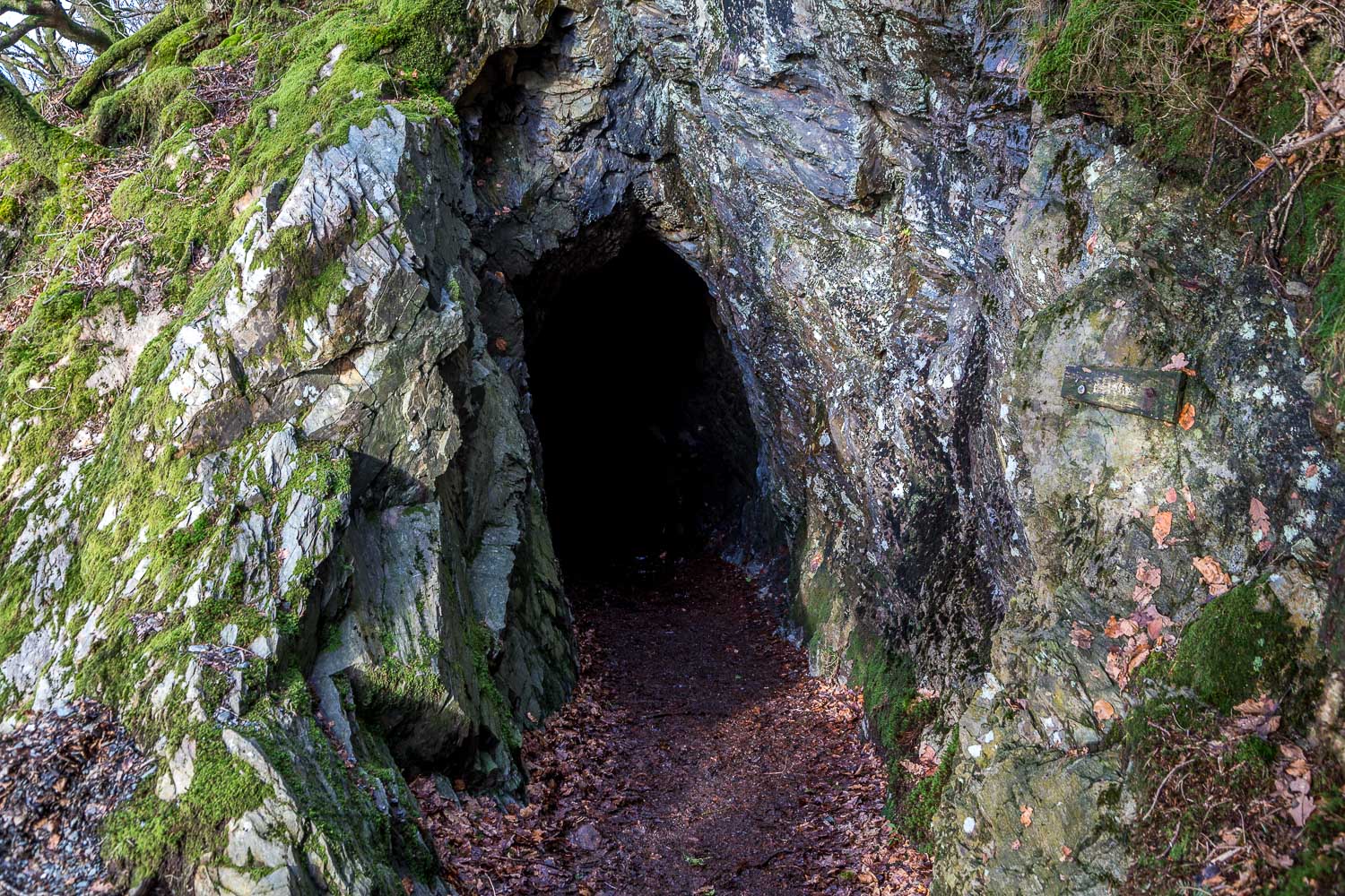
After crossing Peggy’s Bridge and passing by Gatesgarth Farm we started the return leg along the other shore, passing through the rock tunnel near Hassness along the way. We continued along the shoreline path and, where it forks off to the foot of the lake, carried on ahead. This brought us back into Buttermere village, to end another wonderful circuit of the lake
For other walks here, visit my Find Walks page and enter the name in the ‘Search site’ box
Click on the icon below for the route map (subscribers to OS Maps can view detailed maps of the route, visualise it in aerial 3D, and download the GPX file. Non-subscribers will see a base map)
Scroll down – or click on any photo to enlarge it and you can then view as a slideshow
