Route: Gowbarrow Fell
Area: Eastern Lake District
Date of walk: 13th January 2022
Walkers: Andrew and Gilly
Distance: 5.0 miles
Ascent: 1,200 feet
Weather: Sunshine and blue skies
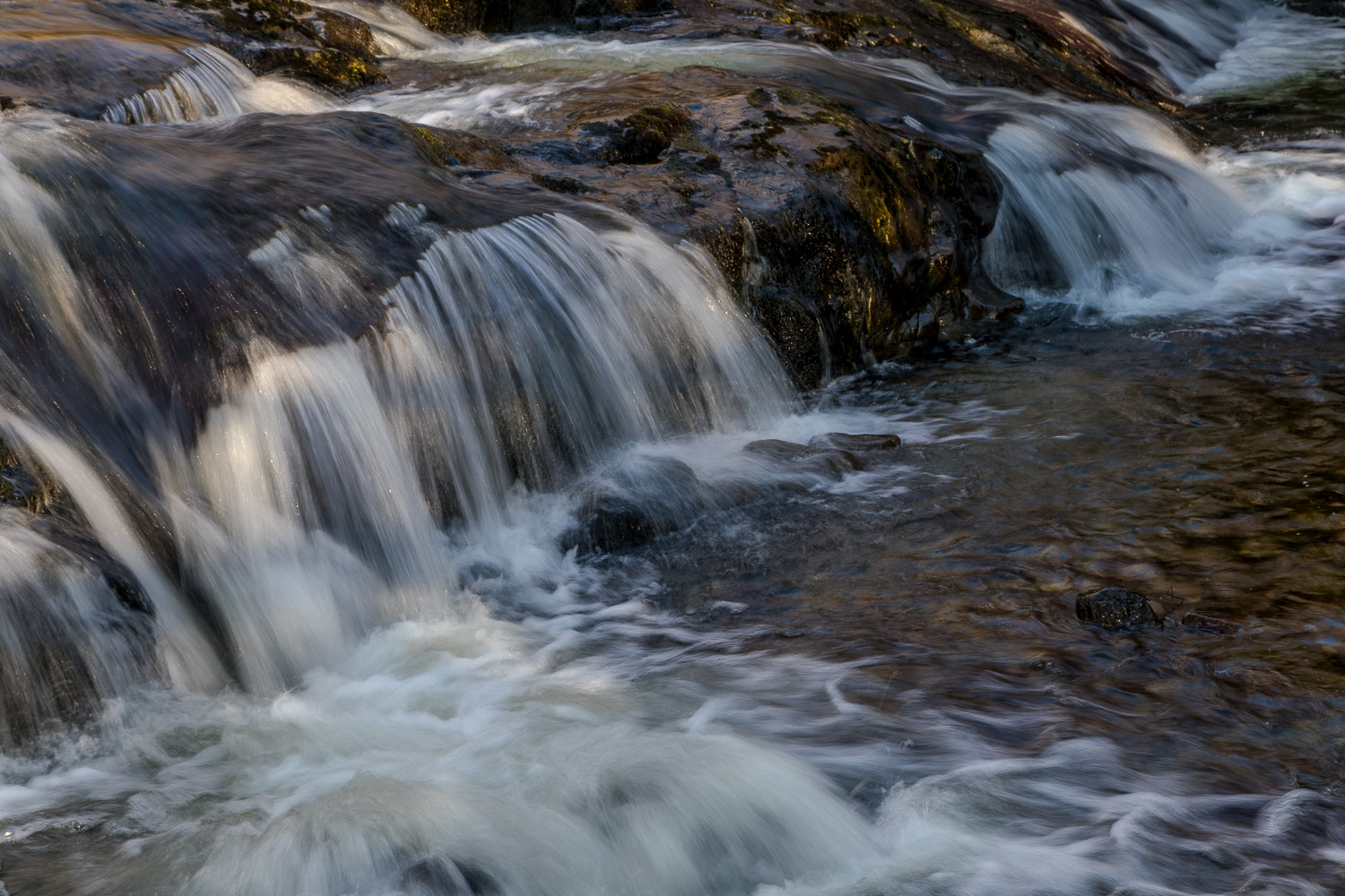
The best of today’s weather was forecast to be in the east of the district, so we decided to head that way and revisit one of our favourite routes – Gowbarrow Fell. As on the last occasion we parked in the main National Trust car park below Aira Force. An alternative start may be made from either of the other two National Trust car parks on aptly named Park Brow. There’s a choice of paths through the woodland, though this was restricted today following major damage caused by a tree which fell into the gorge in August 2021. The resultant path closures meant that we were unable to enjoy the usual view of Aira Force, a spectacular waterfall which plunges down the gorge. We followed the path on the left side of Aira Beck and then crossed the bridge above Aira Force to join the path on the other side
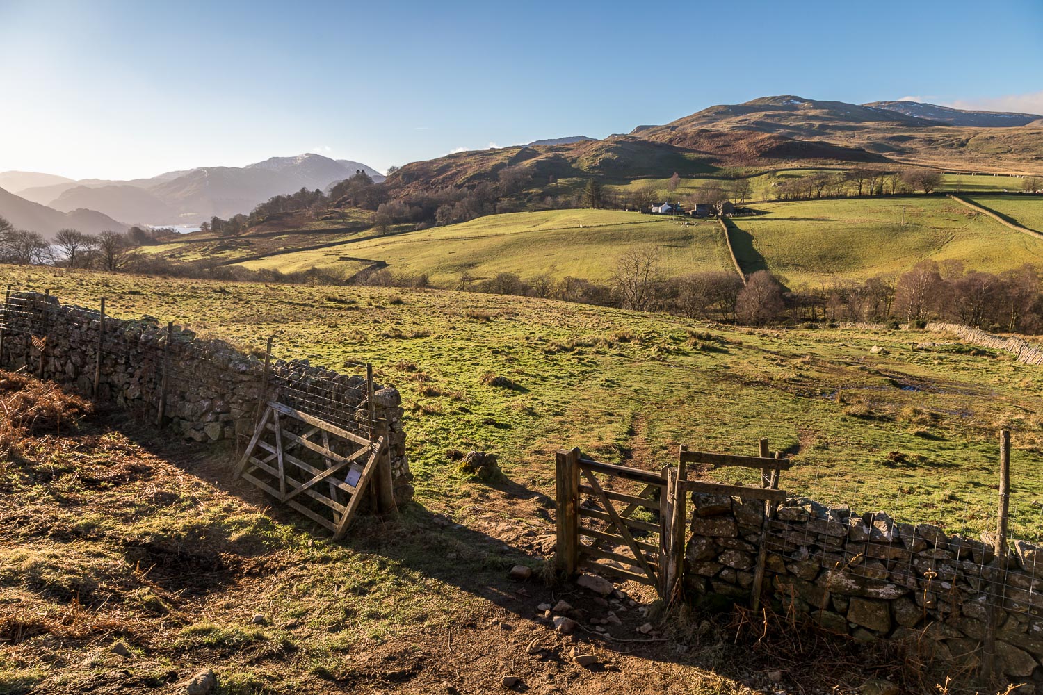
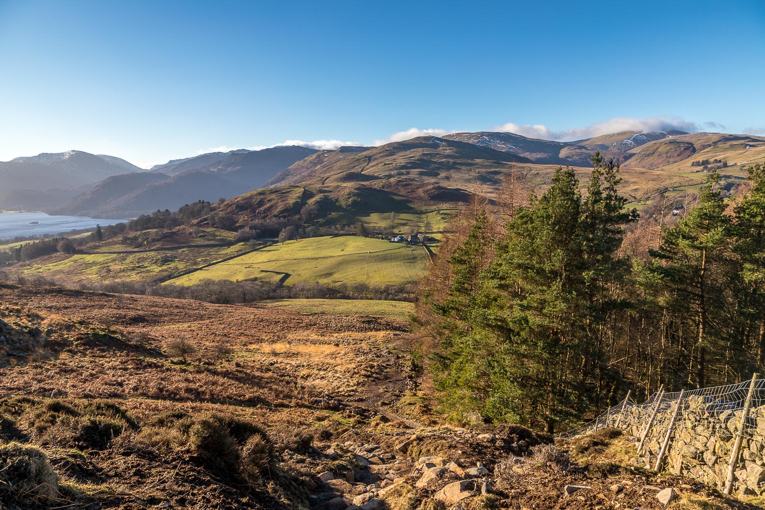
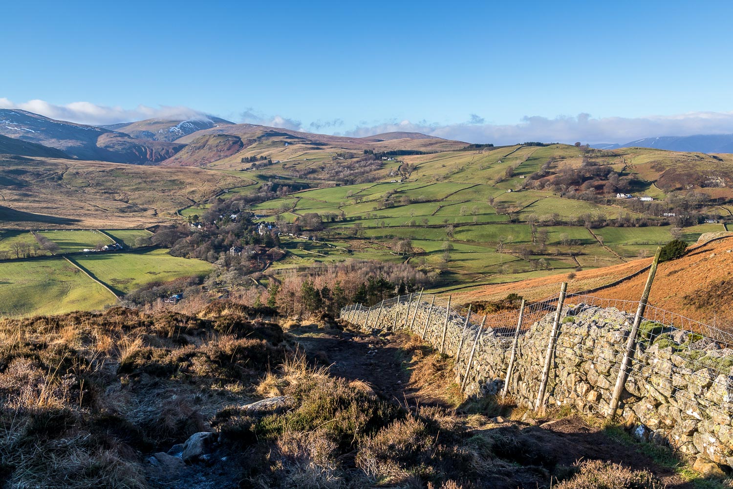
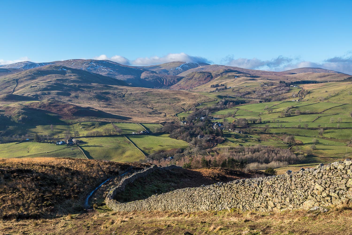
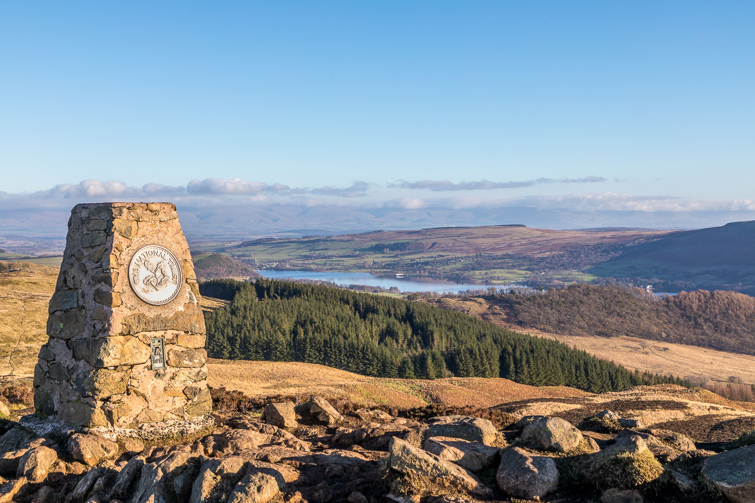
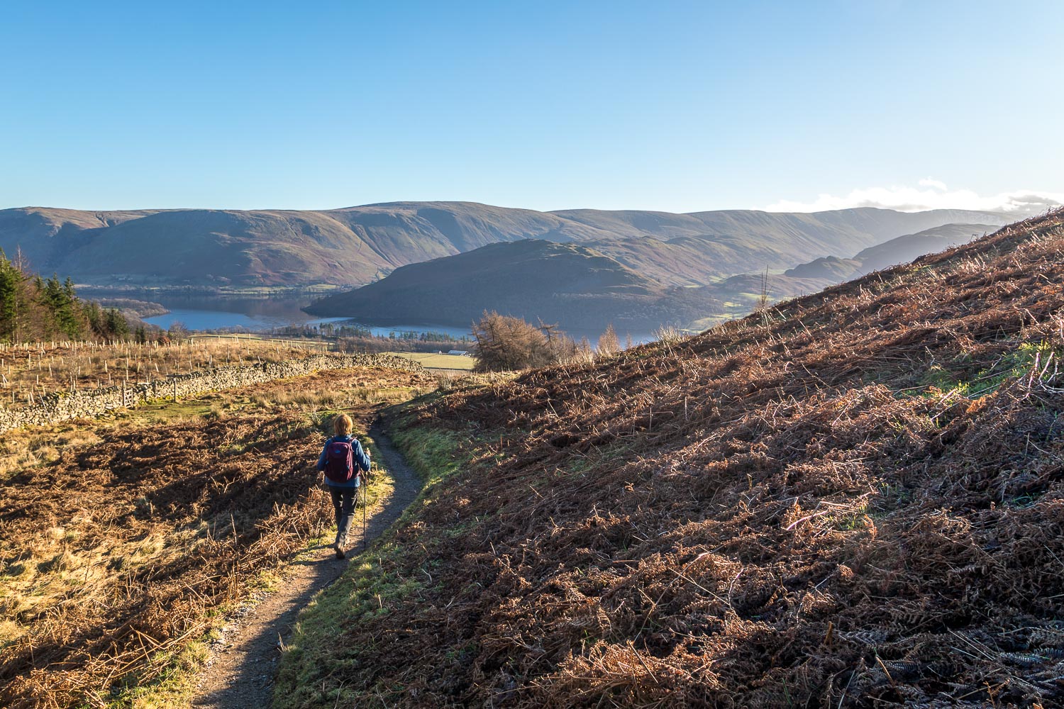
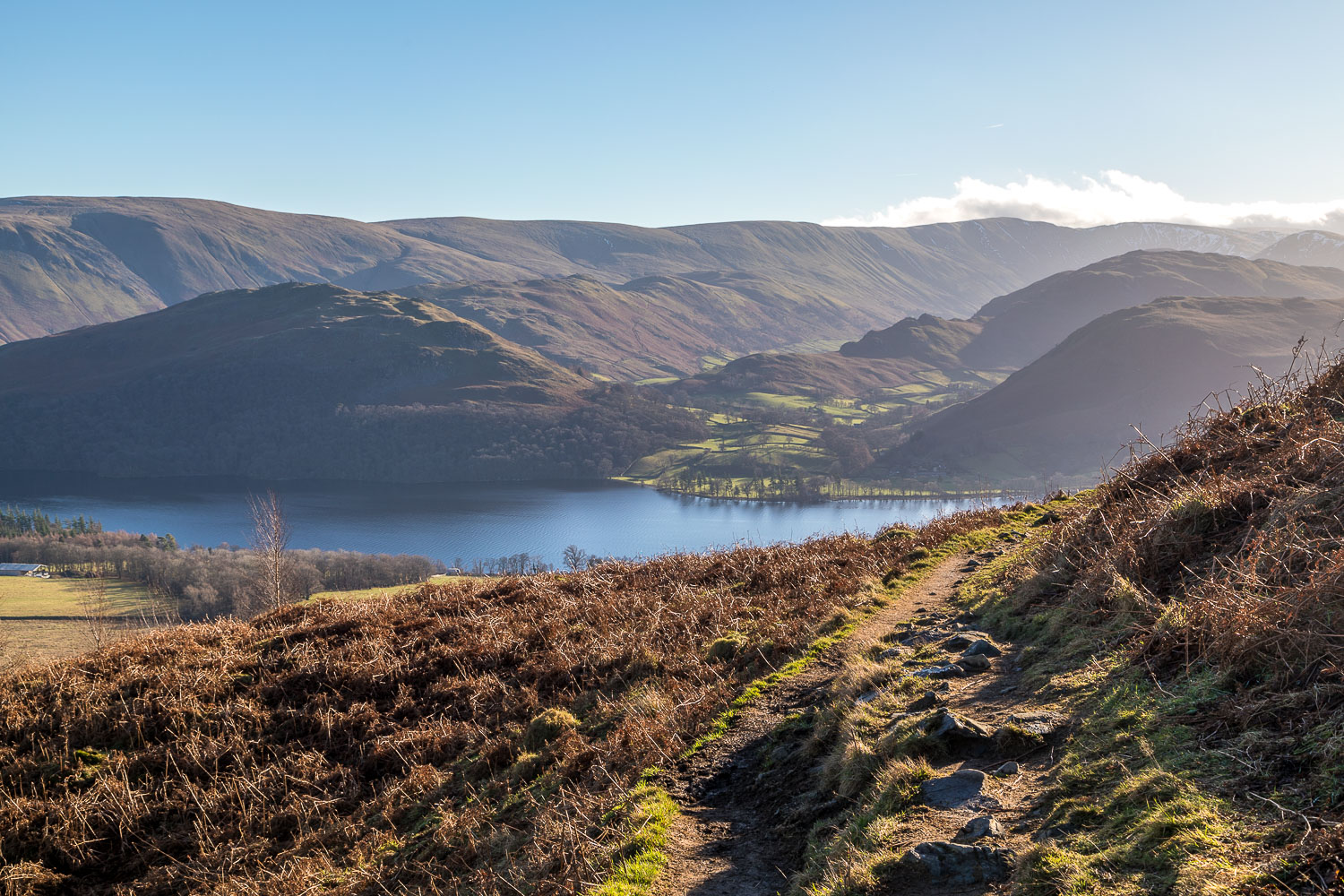
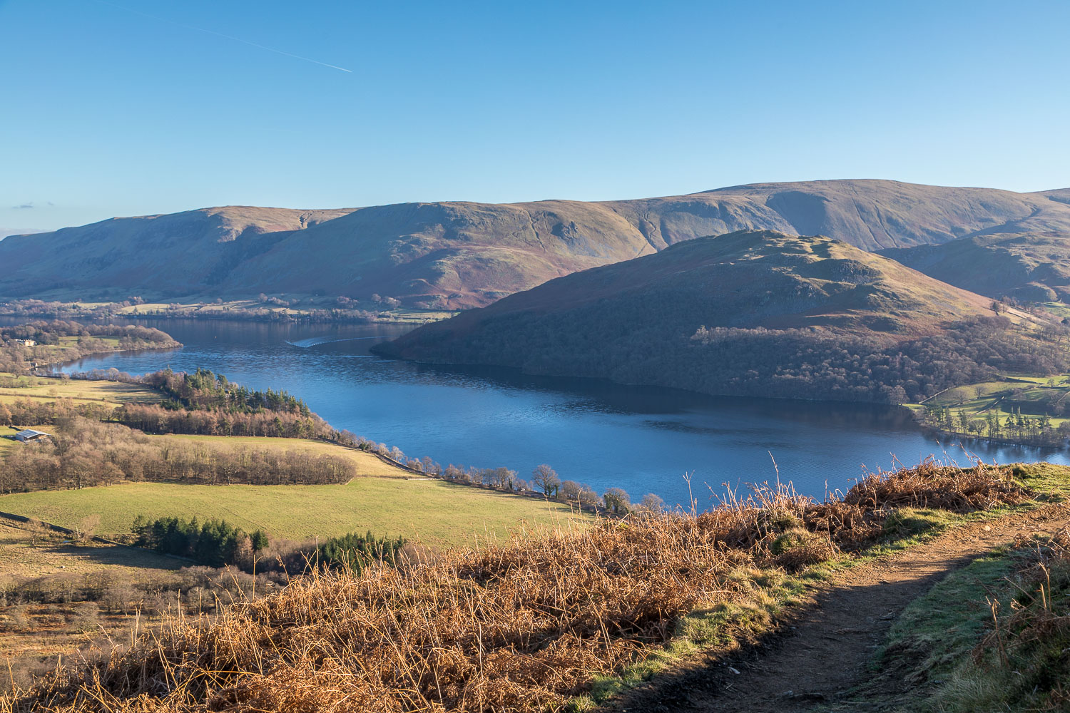
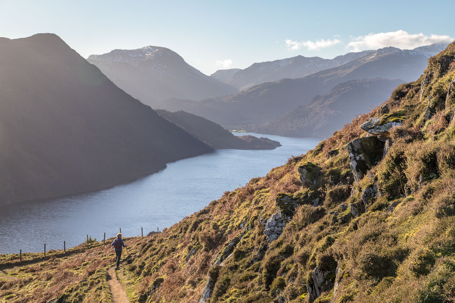
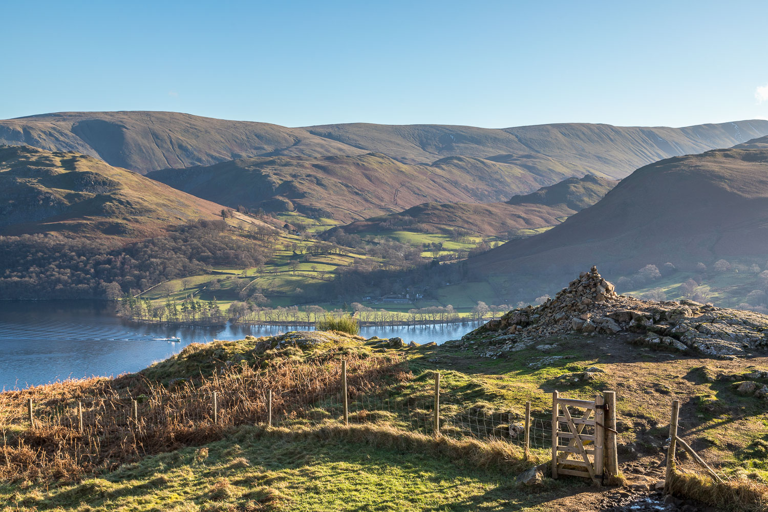
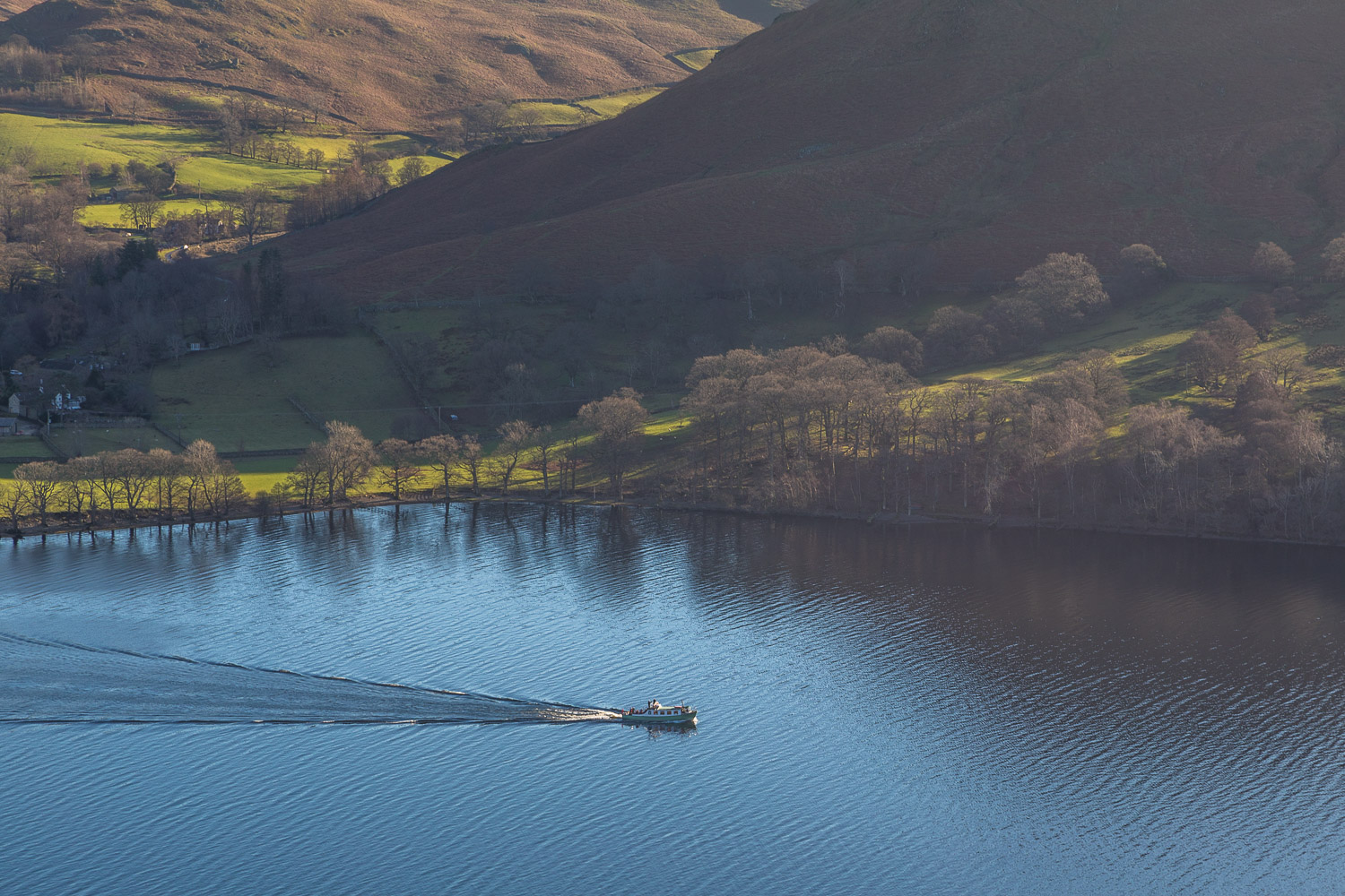
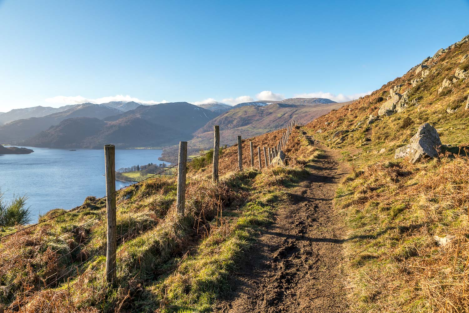
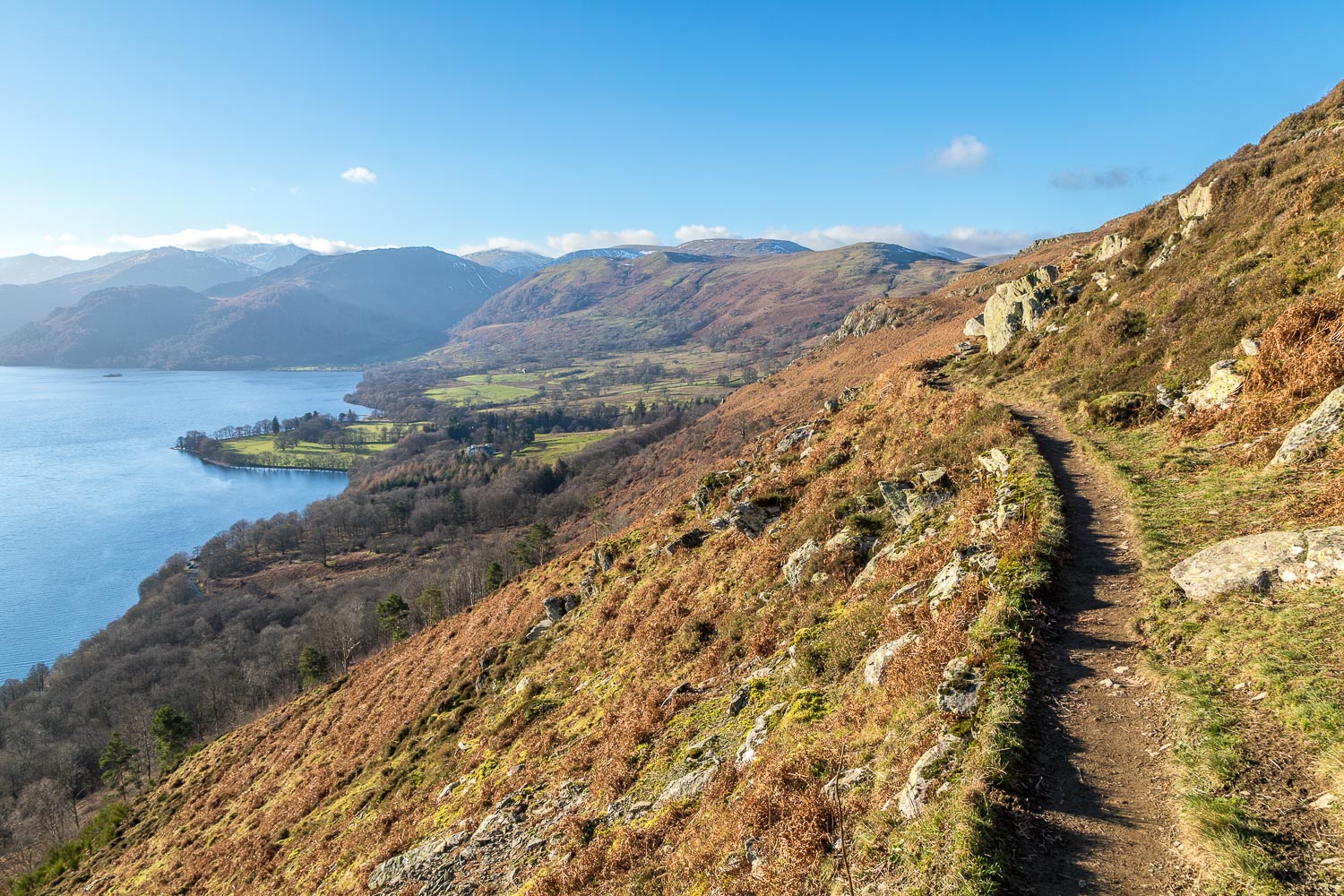
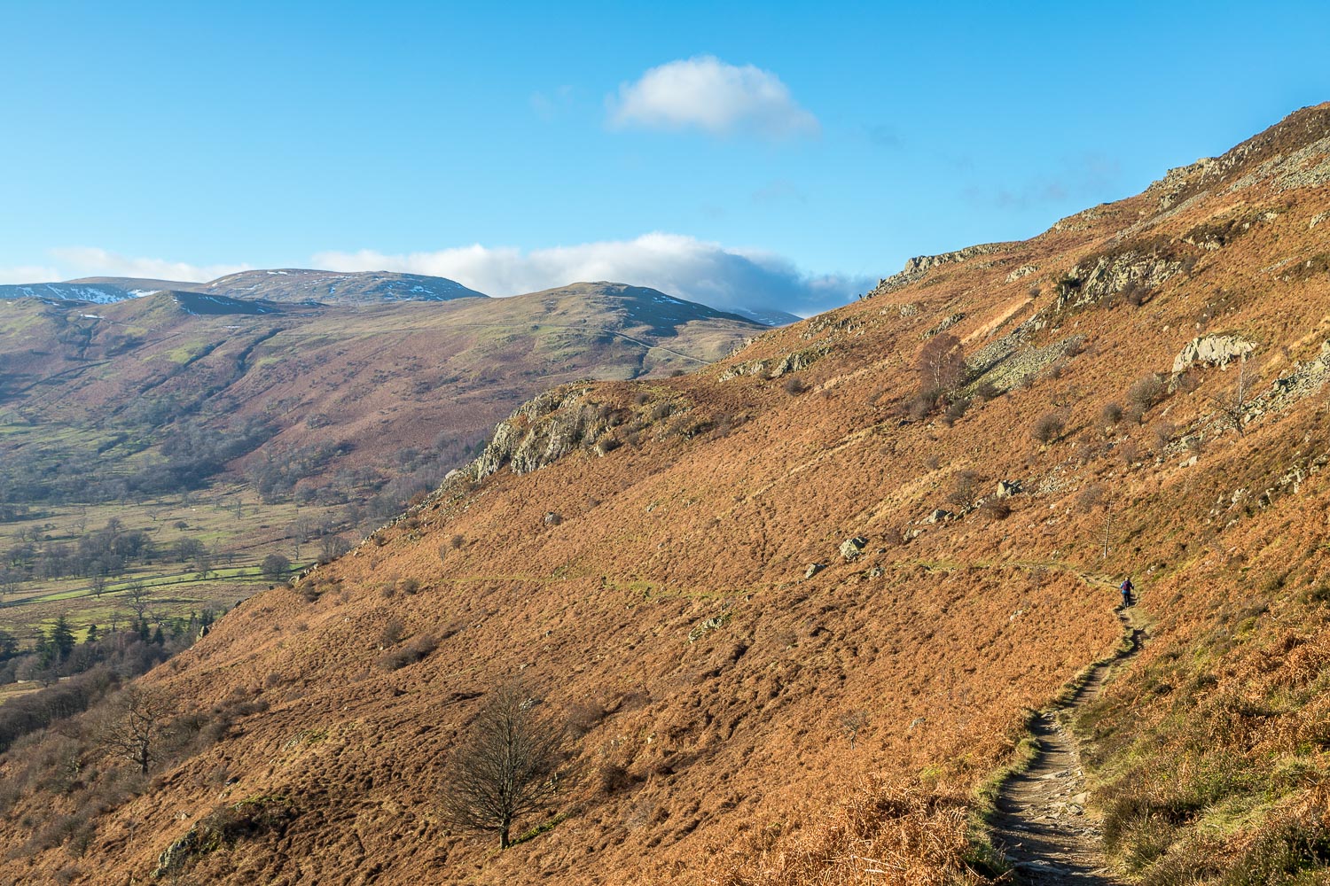
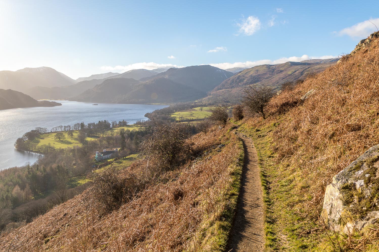
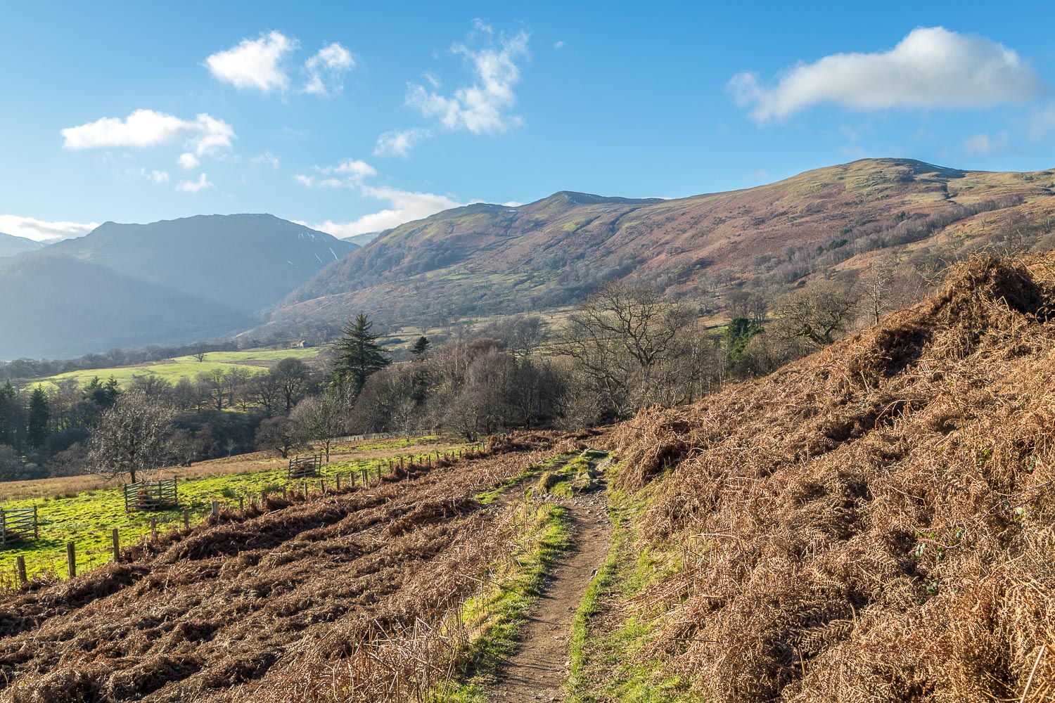
We continued to follow Aira Beck and the upper falls, eventually emerging onto open fellside. After an easy climb beside a dry stone wall we reached the summit of Gowbarrow Fell. The views from here are extensive, but pale in comparison with those of Ullswater from the terraced path above the lake – one of the best miles in lakeland – and which we’d saved for last by walking the circuit in a clockwise direction. The descent is initially through rather featureless terrain but before long views of Ullswater appear and the remainder of the walk is along a mid level terraced path which contours around the flanks of Gowbarrow Fell. This is one of the finest paths in lakeland, with new views opening up as the path weaves its way around the fellside
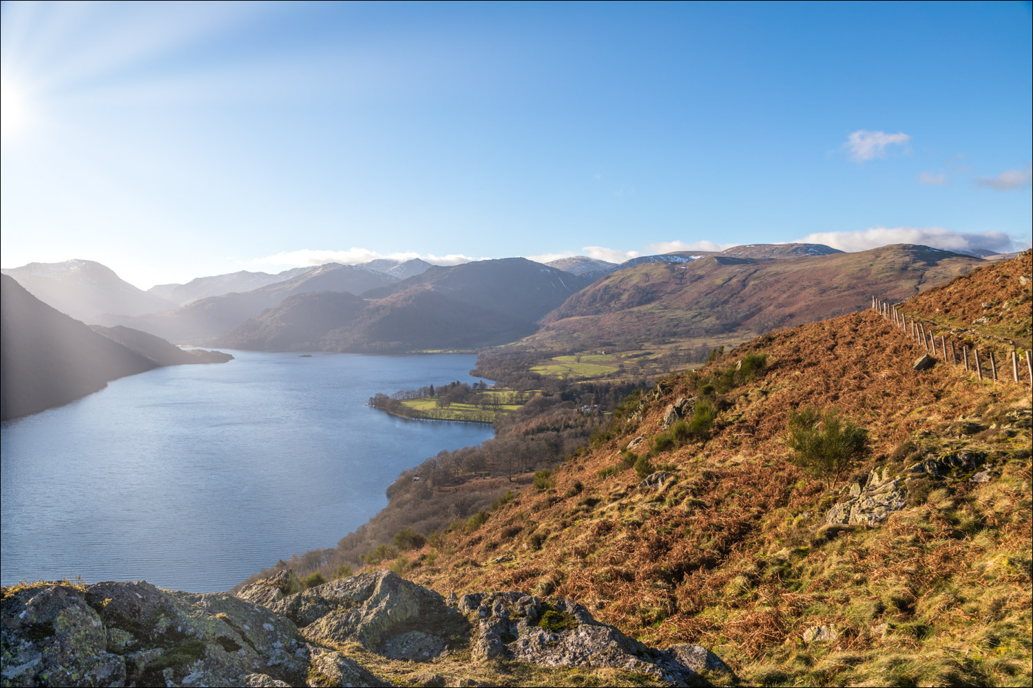
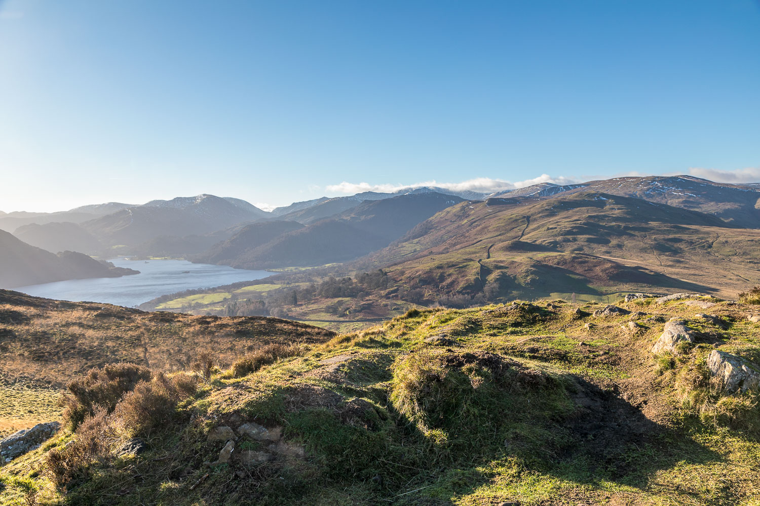
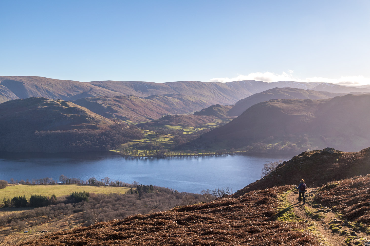
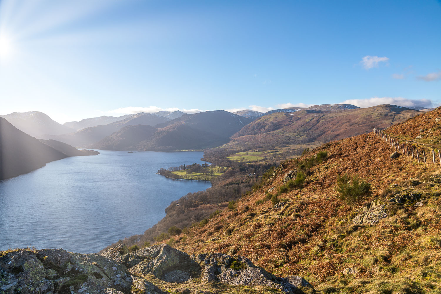
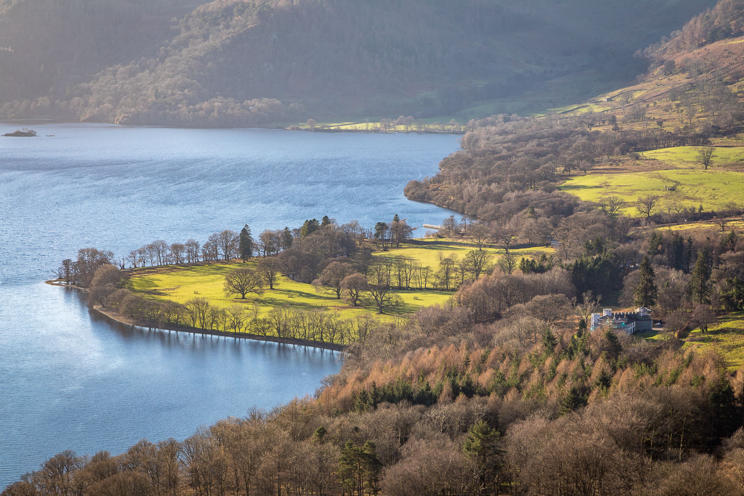
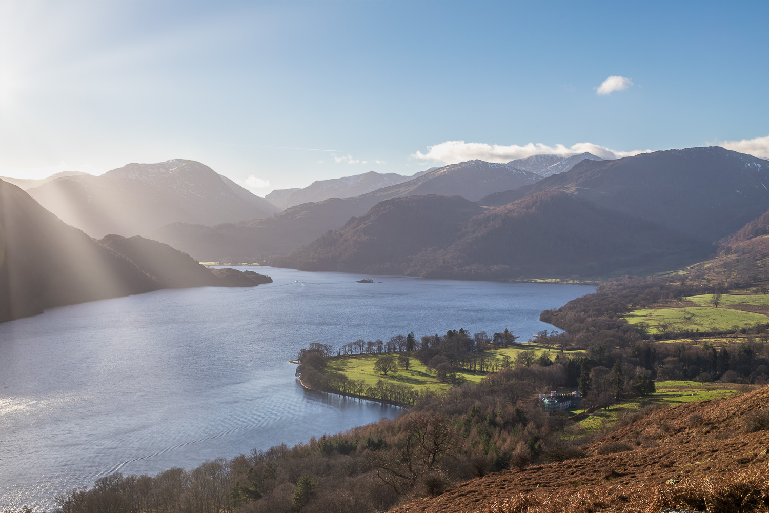
We paused briefly at Yew Crag, from where there is a fabulous panorama towards the head of Ullswater. Blinding low winter sun obscured some of the view, but it was a magnificent one nonetheless. We then made the gentle descent back to the Aira Force visitor centre, enjoying the views over Ullswater for most of the way back
For other walks here, visit my Find Walks page and enter the name in the ‘Search site’ box
Click on the icon below for the route map (subscribers to OS Maps can view detailed maps of the route, visualise it in aerial 3D, and download the GPX file. Non-subscribers will see a base map)
The day before the walk, a late afternoon visit to Buttermere…
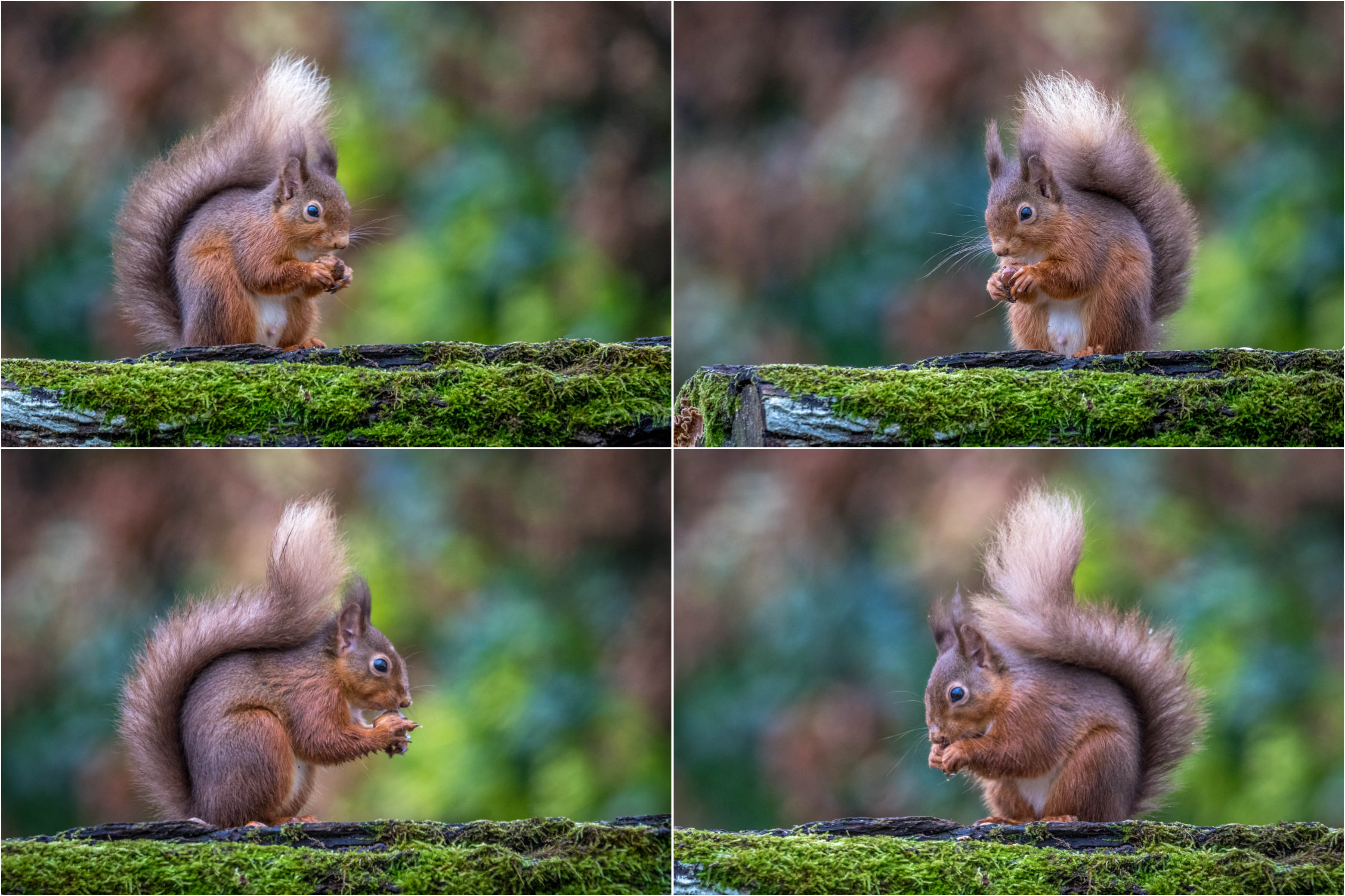
Before we set off, a pair of red squirrels in the garden. A male above and I hope that the other squirrel below is a female, as the mating season has just started
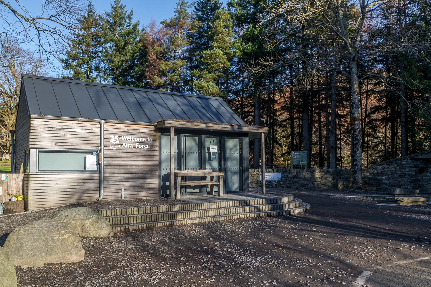
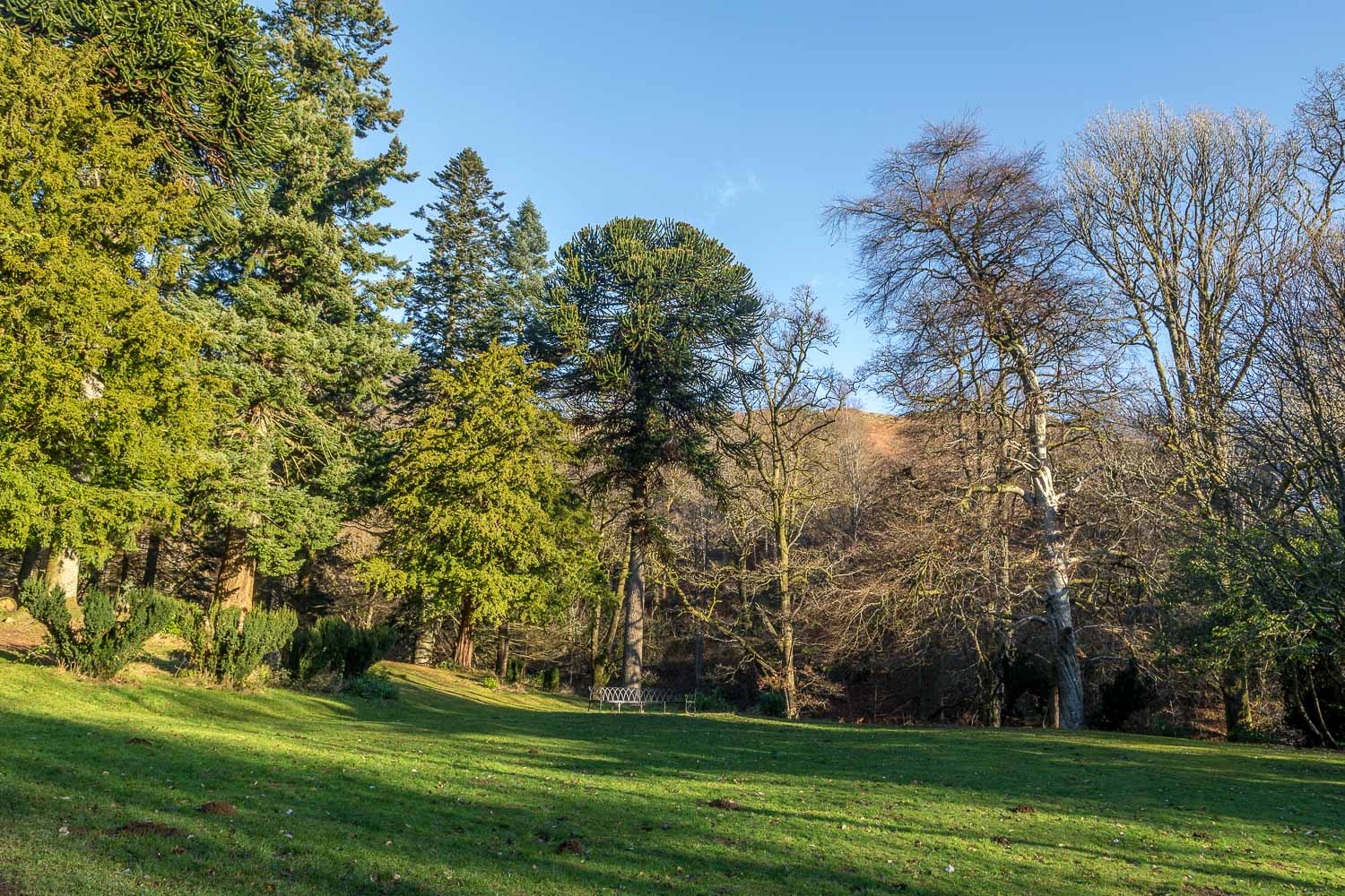
The start of today's walk as we pass by the National Trust visitor centre and enter into the woodland, home to many ancient trees...
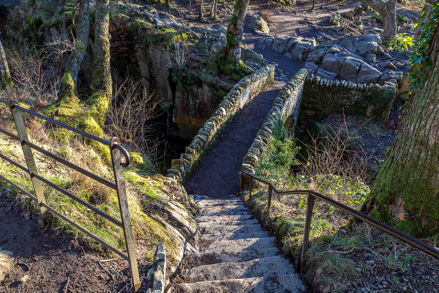
We cross the bridge over Aira Force - the usual view of the waterfall is not possible at the moment due to path closures
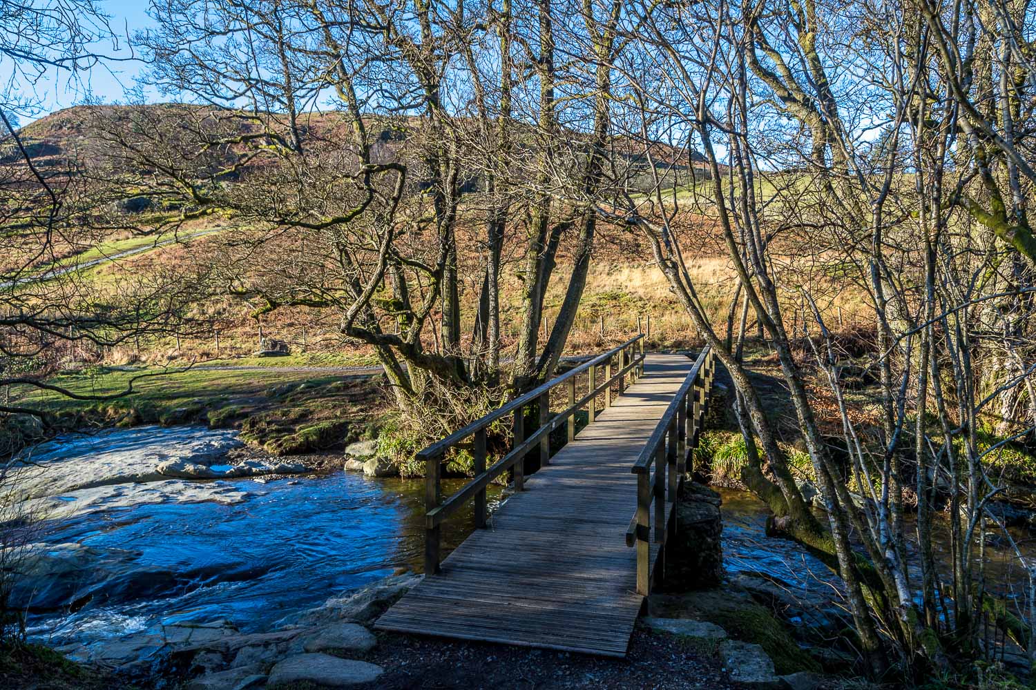
For anyone following the path along the far bank, this footbridge near the High Cascades car park is the last chance to cross over Aira Beck
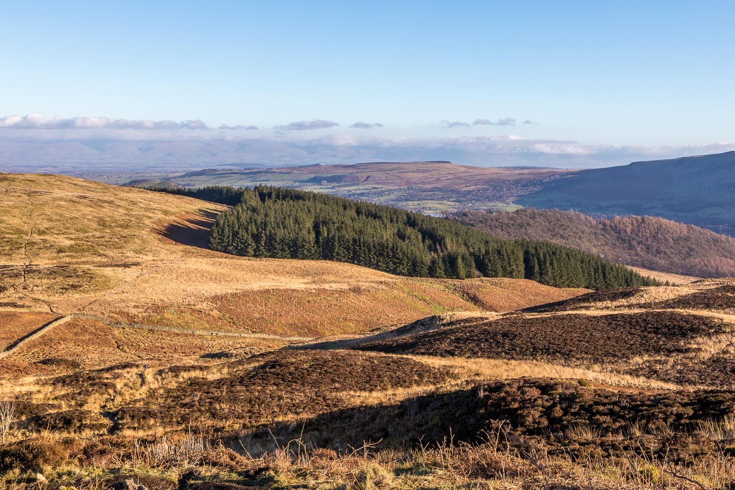
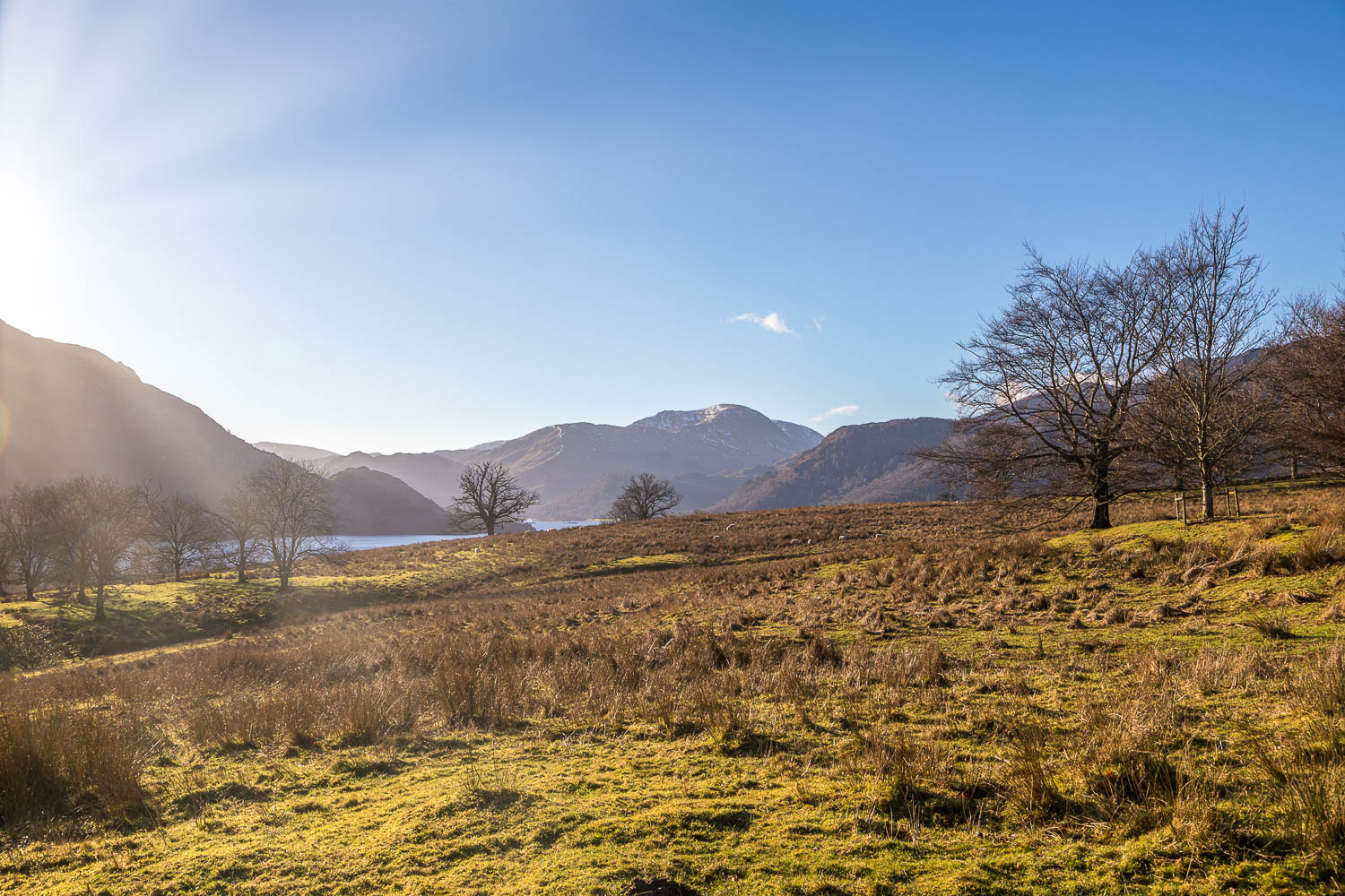
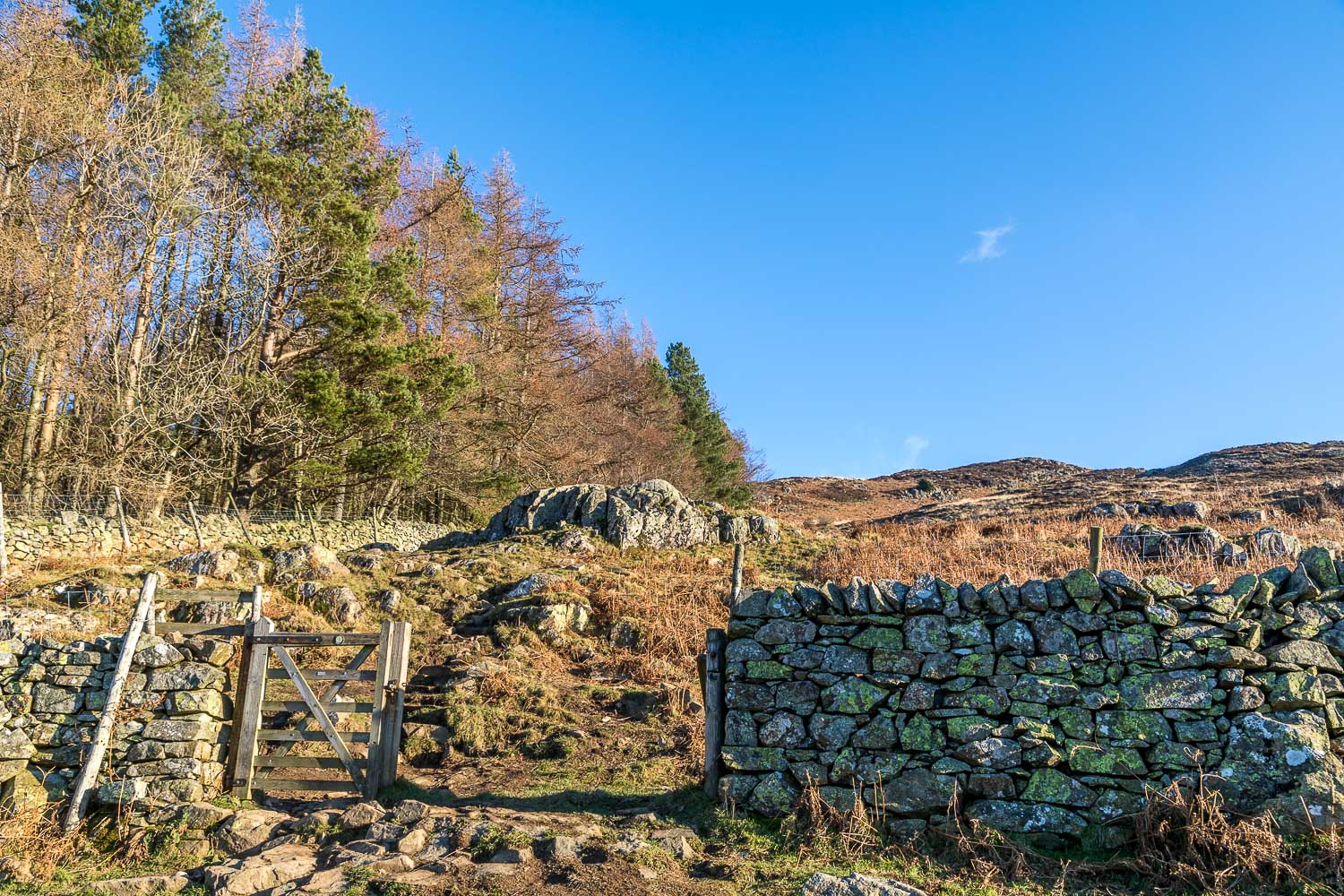
The first part of the descent is through featureless terrain - we head in the direction of the conifer plantation
