Route: South Cave to Goodmanham (Yorkshire Wolds Way stage 2)
Area: East Yorkshire
Date of walk: 8th January 2015
Walkers: Andrew
Distance: 11.6 miles
Ascent: 1,200 feet
Weather: Overcast to start, then brightened up at midway point
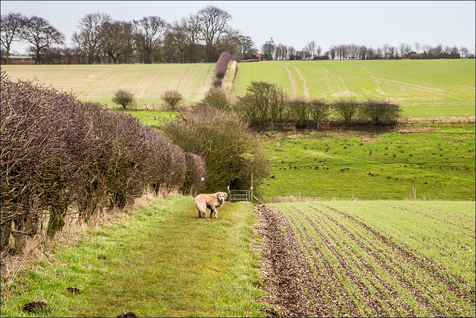
I started the walk on the outskirts of South Cave, where I’d ended Stage 1 of the Wolds Way about 1 month ago. Mrs Andrewswalks and I first drove to Goodmanham in separate cars, leaving one there, then drove back to the start point of the walk, where I was dropped off. The sky was dull and lifeless but it was forecast to improve later on, and so it did
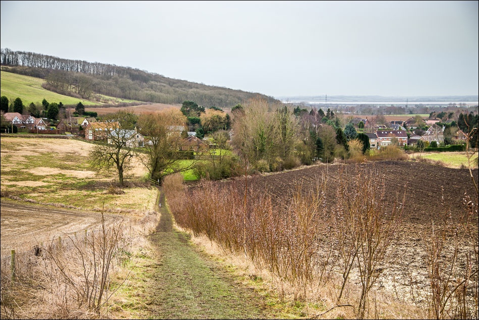
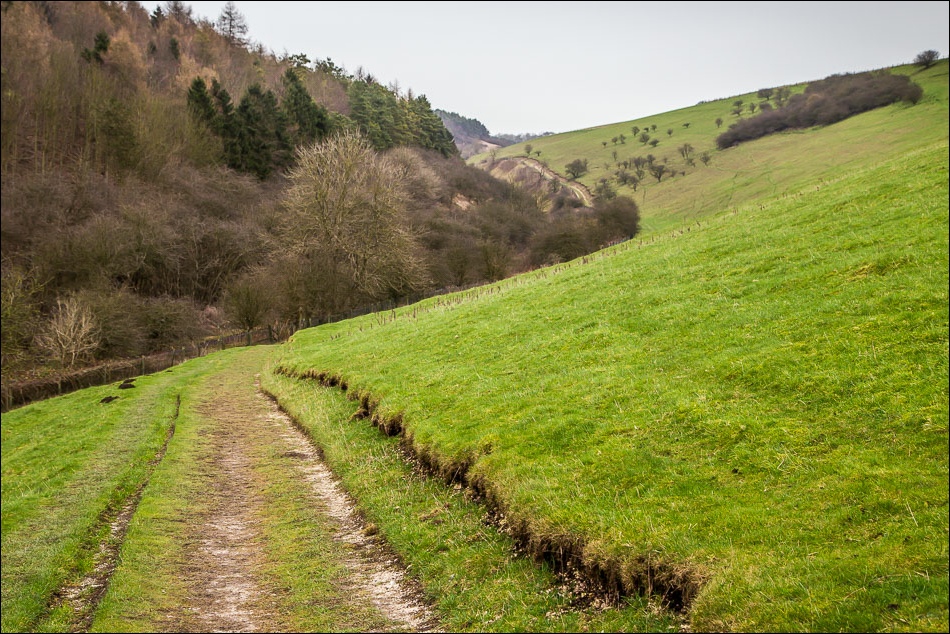
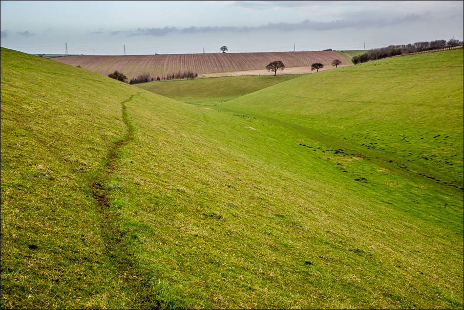
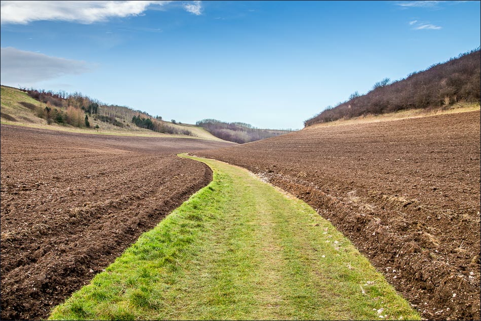
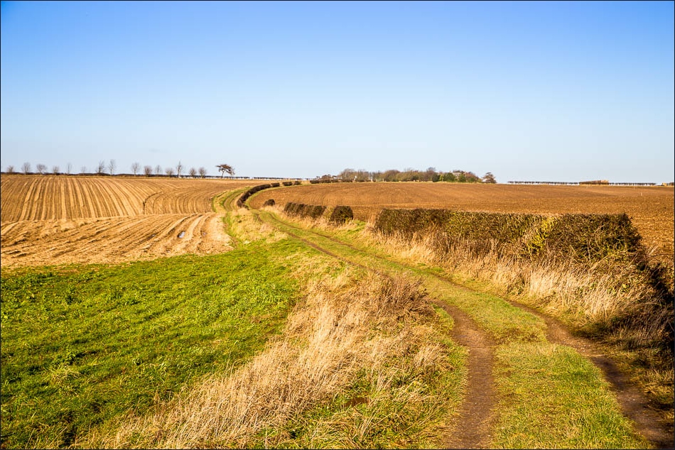
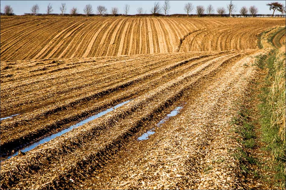
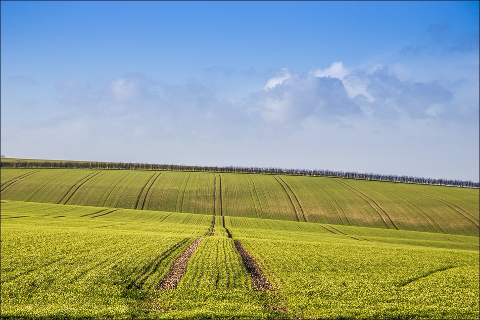
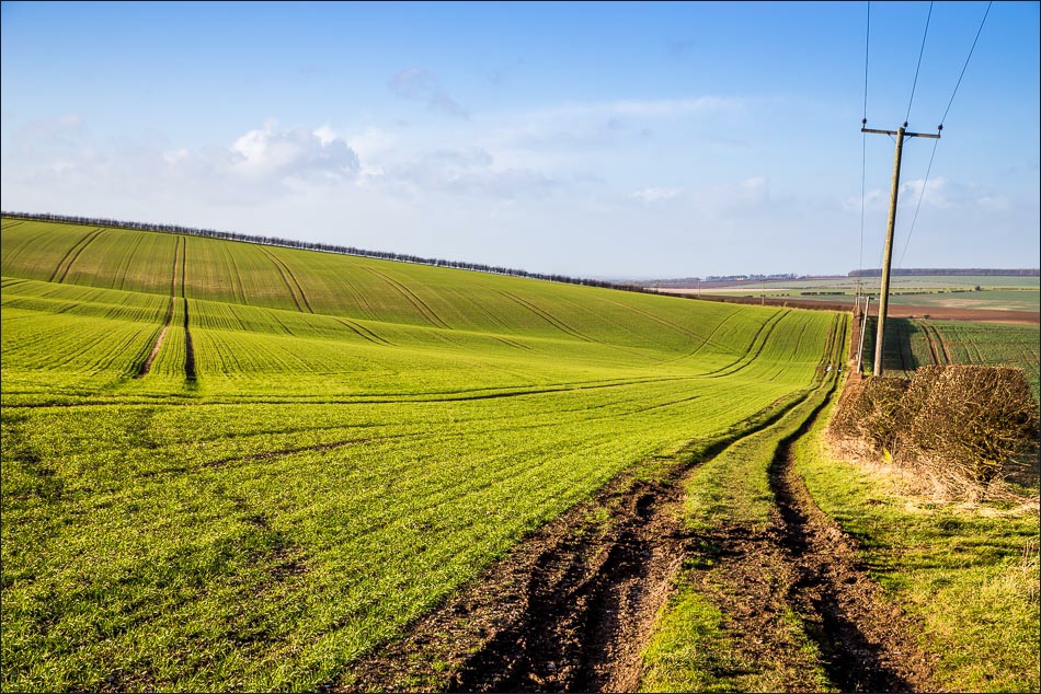
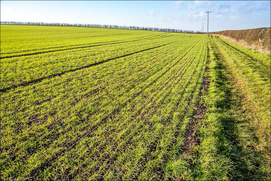
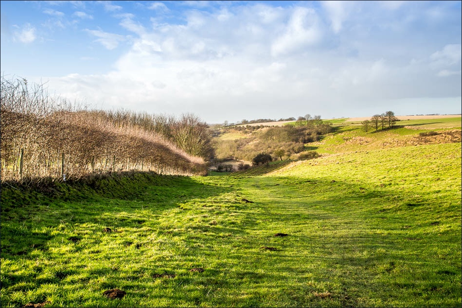
The first part of the walk is up hill and down dale, Weedley Dale and Swin Dale being particularly attractive, and then beyond Newbald the gradient levels out as the top of the Wolds are reached and the terrain becomes more agricultural
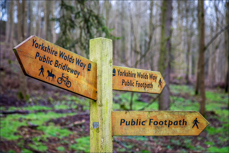
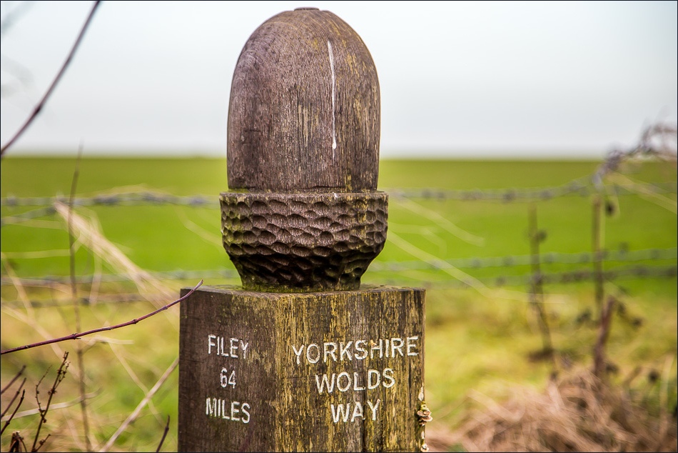
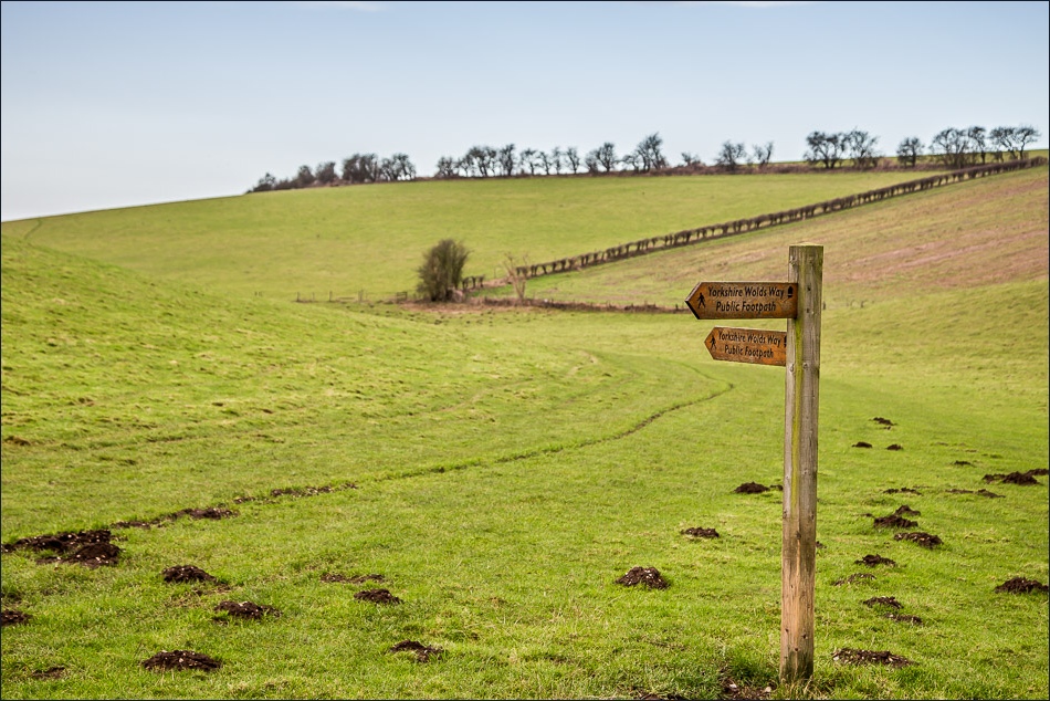
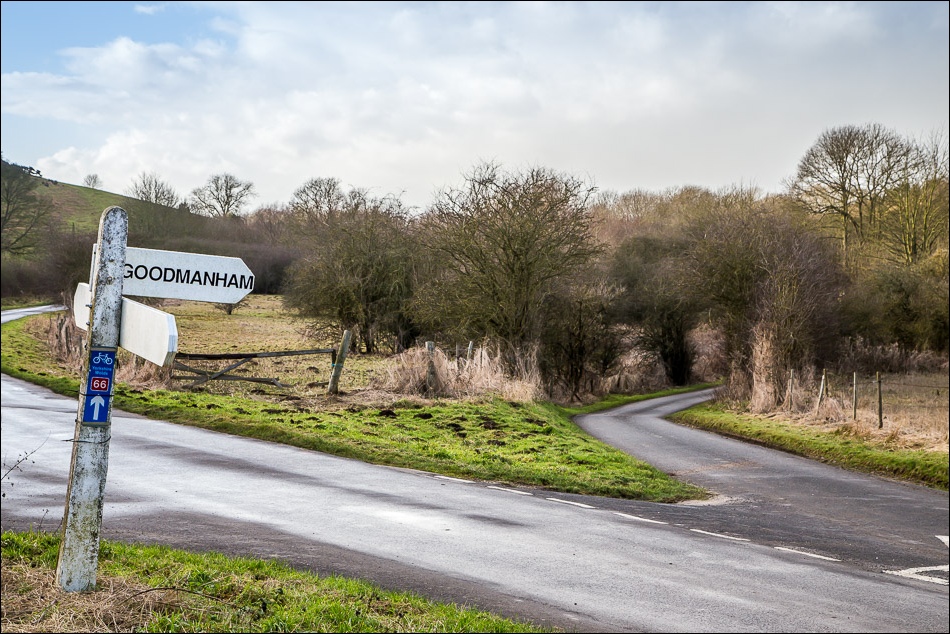
The walking is easy and fast progress can be made – it took me about 4 hours to cover nearly 12 miles. No time is wasted in map reading as the whole of the Wolds Way is superbly waymarked throughout
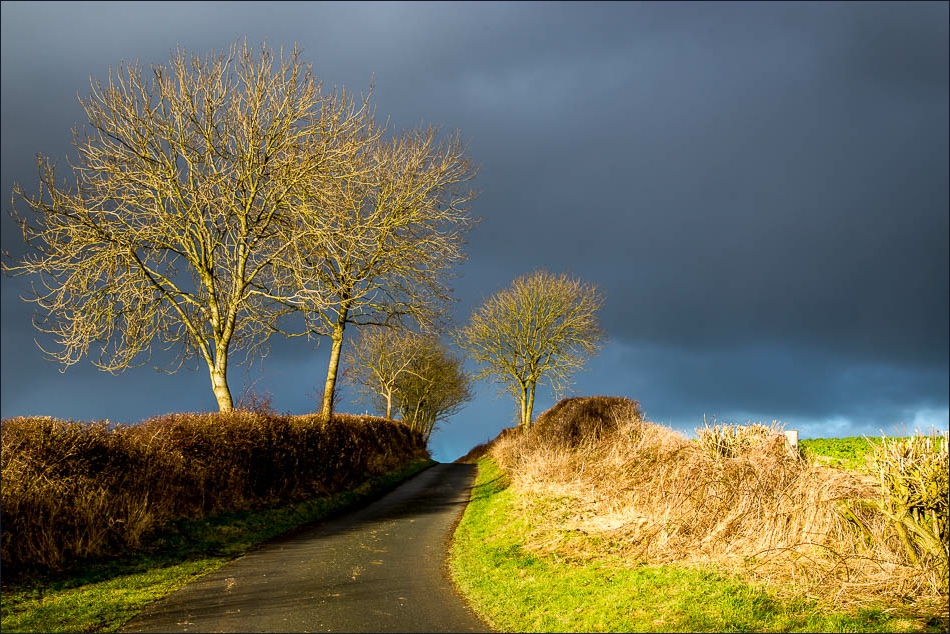
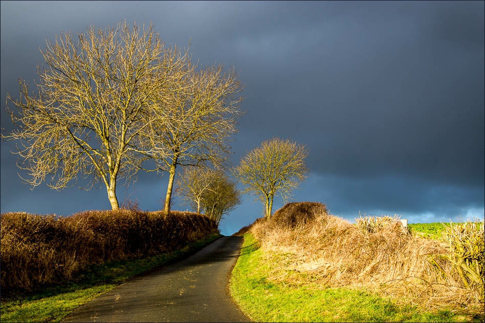
On the approach to Goodmanham the skies turned black and there was a torrential downpour, but luckily this was brief
Follow the links to see: Stage 1 Stage 3 Stage 4 Stage 5 Stage 6 Stage 7
Click on the icon below for the route map (subscribers to OS Maps can view detailed maps of the route, visualise it in aerial 3D, and download the GPX file. Non-subscribers will see a base map)
Scroll down – or click on any photo to enlarge it and you can then view as a slideshow
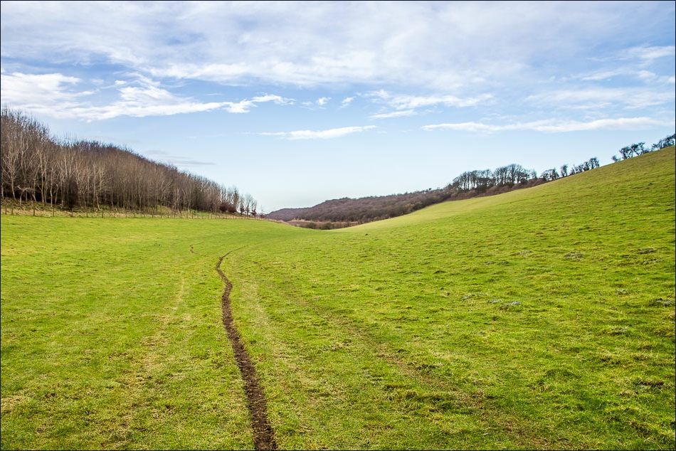
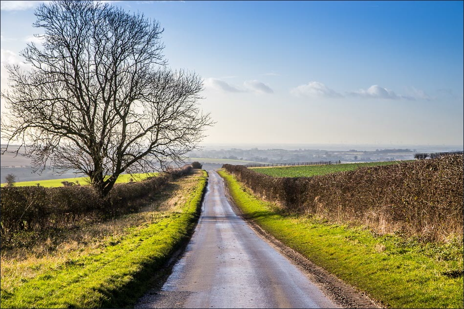
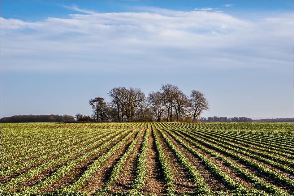
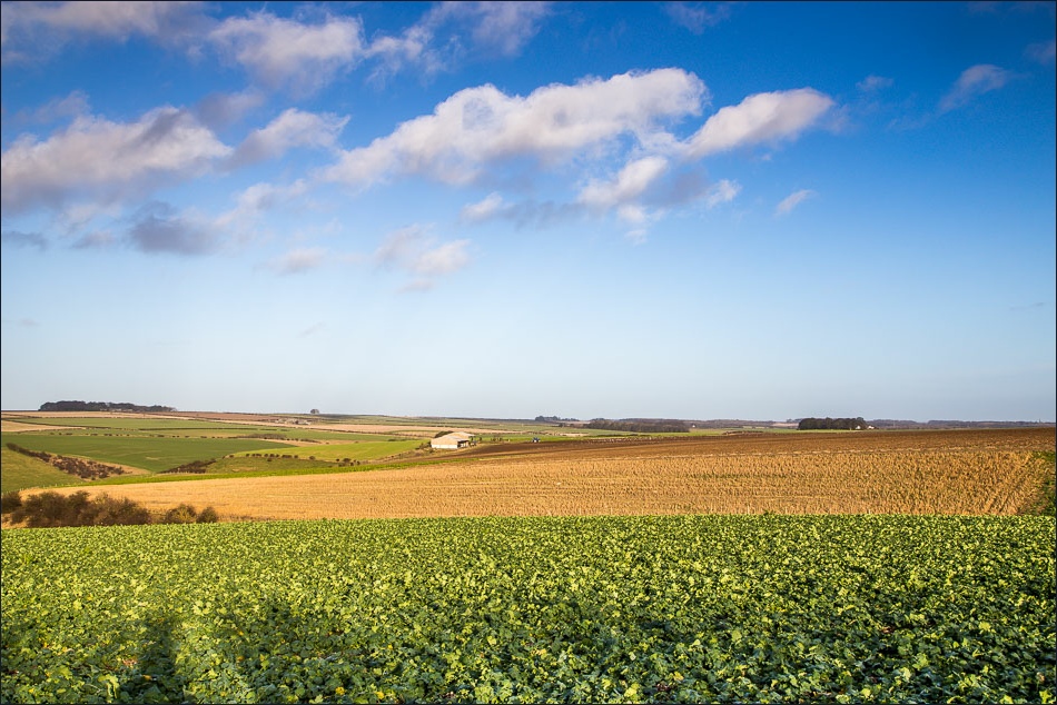
The weather had been dull up to this point, but some welcome blue sky started to move in from the west
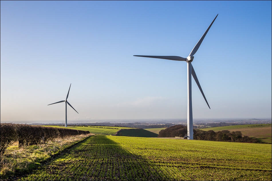
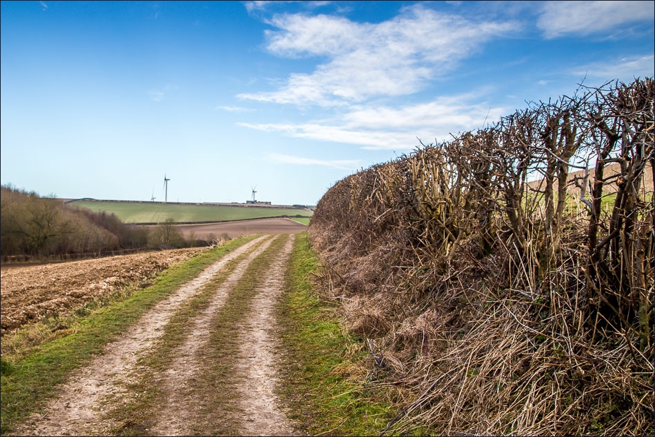
I’m afraid that the sight (and sound) of the large wind farm here detracted from the enjoyment of this section of the walk
