
Route: A Walk from Weedley
Area: East Yorkshire
Date of walk: 3rd March 2014
Walkers: Andrew
Distance: 4.0 miles
Ascent: 500 feet
Although I hadn’t planned a walk today, some sun and blue skies tempted me to make the short journey to Weedley and go for a walk on the Yorkshire Wolds. I parked near the radio station and walked along a wide track – this brought back some happy memories as we used to come tobogganing here as children
After a while the track becomes part of the Yorkshire Wolds Way, and I followed the path down to the outskirts of South Cave and then uphill along Great Wold Side
The return journey was at high level (high for East Yorkshire, that is) with good views of the rolling countryside in all directions. The last section back to the start involved about 10 minutes walking along the road side, a minor sacrifice bearing in mind the otherwise excellent paths on this walk
Click on the icon below for the route map (subscribers to OS Maps can view detailed maps of the route, visualise it in aerial 3D, and download the GPX file. Non-subscribers will see a base map)

Scroll down – or click on any photo to enlarge it and you can then view as a slideshow

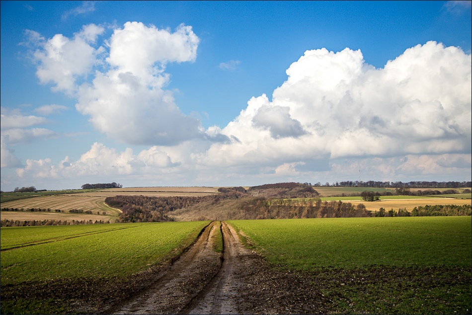
The start of the walk along the track off the road to South Cave
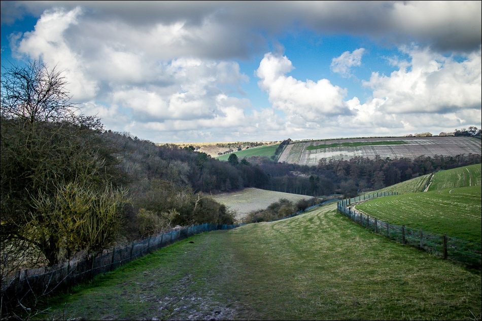
Comber Dale

Little Wold Vineyard

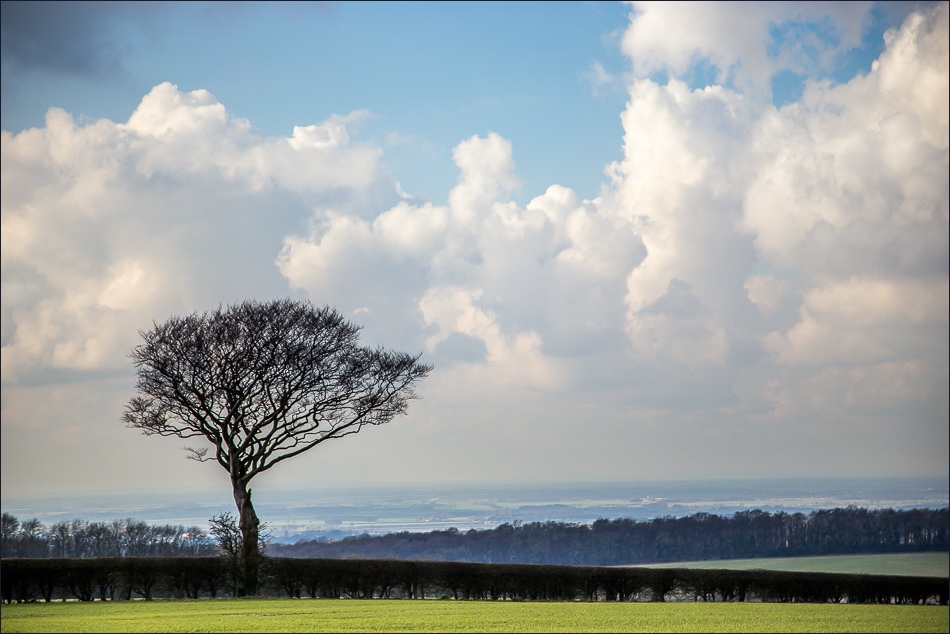
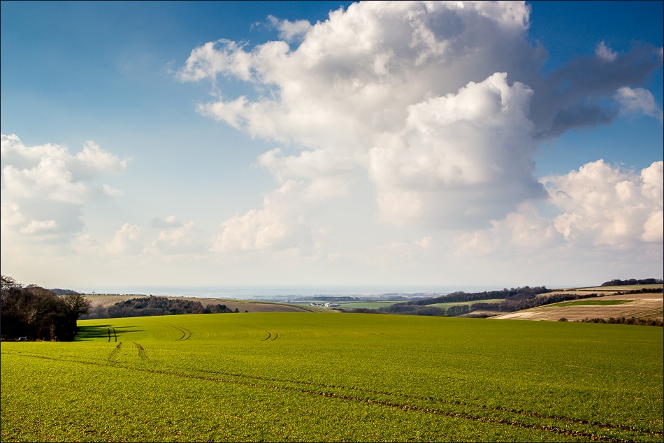
Looking south towards the Humber

Entering Little Wold Plantation

Walking through Little Wold Plantation

Looking across to Great Wold

One of the wonderful ‘poetry benches’ that appear along the Yorkshire Wolds Way

Looking into the sun towards South Cave and the River Humber

Descending to the outskirts of South Cave before climbing up again onto Great Wold
The start of the easy climb

Great Wold Plantation

On the return leg now, walking along Cave Wold

View from near the top of the Wold

Bonnie

Ordnance Survey monument at 164 metres above sea level

Looking towards Weedley Dale
Almost back to the start
