Route: Tarn Hows
Area: Southern Lake District
Date of walk: 7th June 2017
Walkers: Andrew and Gilly
Distance: 7.2 miles
Ascent: 1,100 feet
Weather: Cloudy with sunny intervals
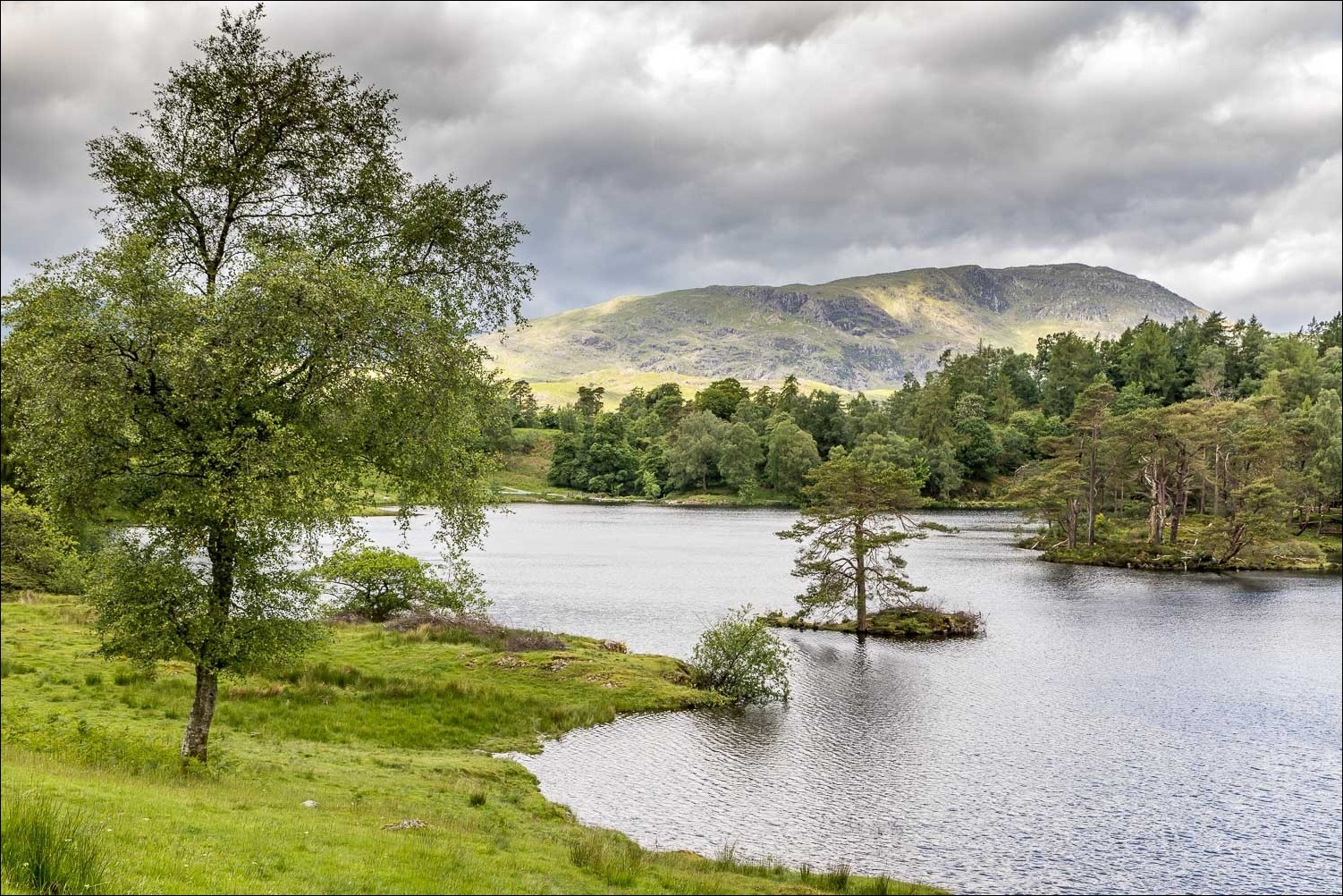
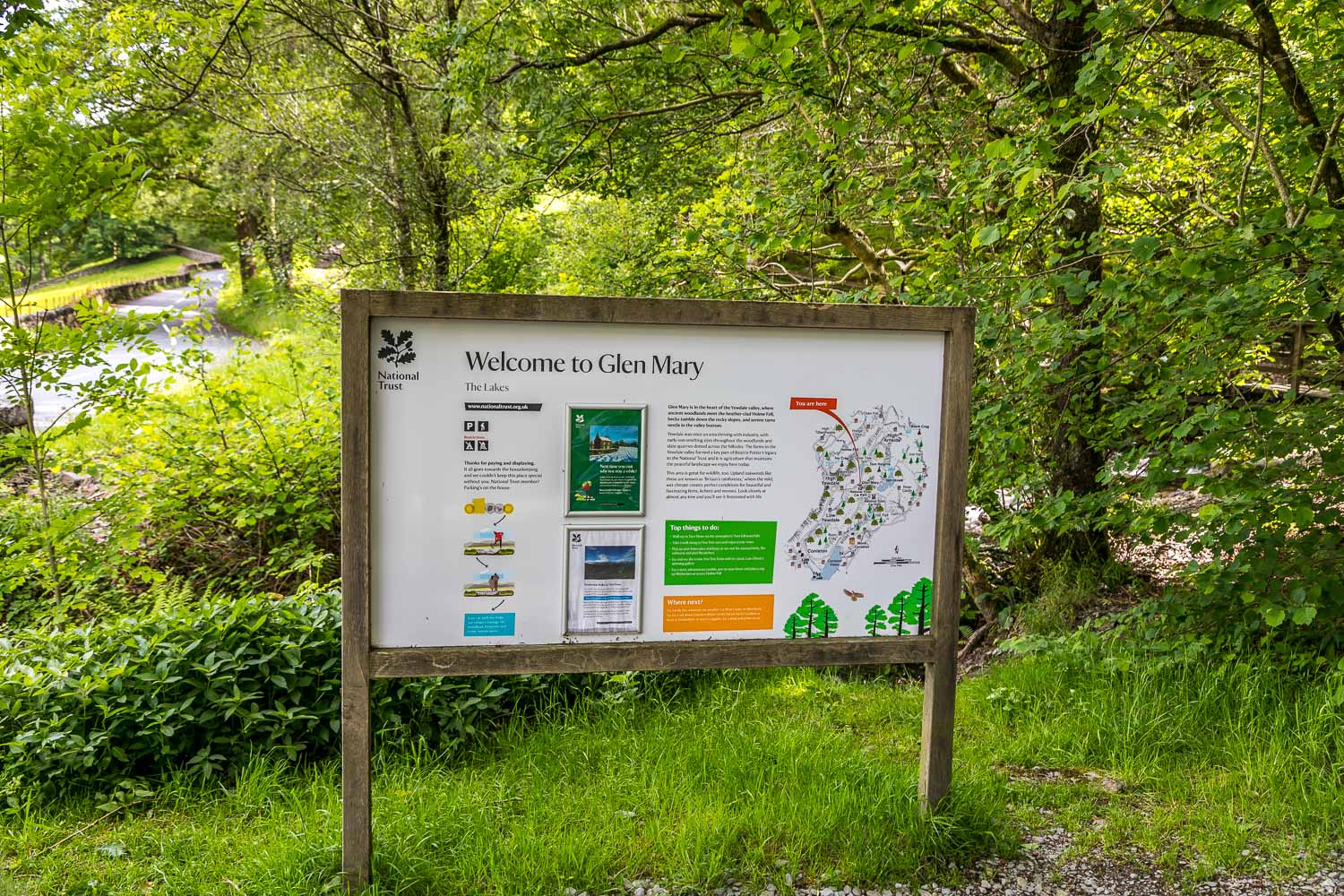
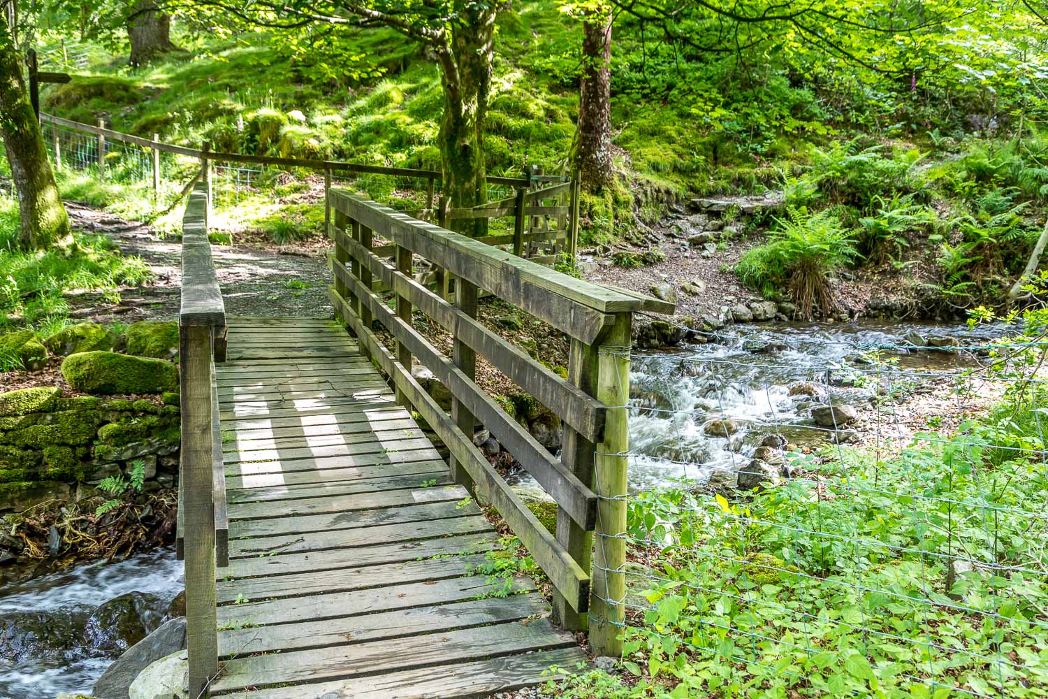
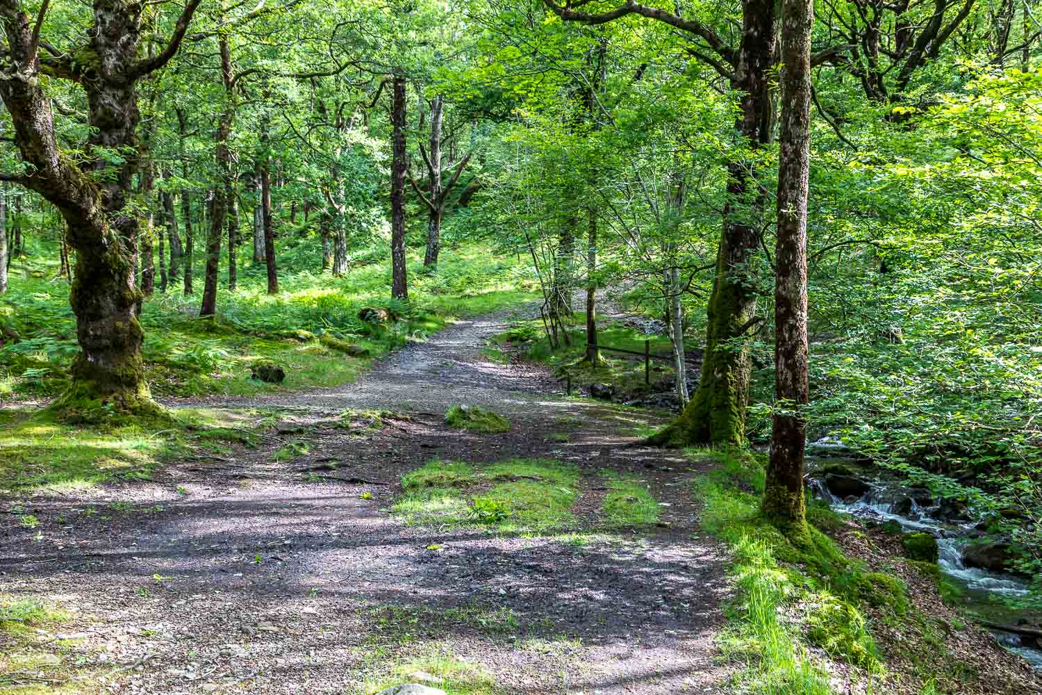
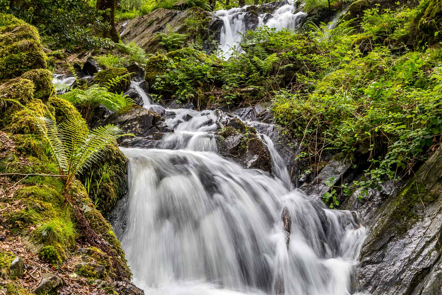
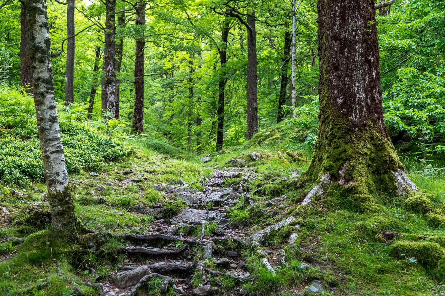
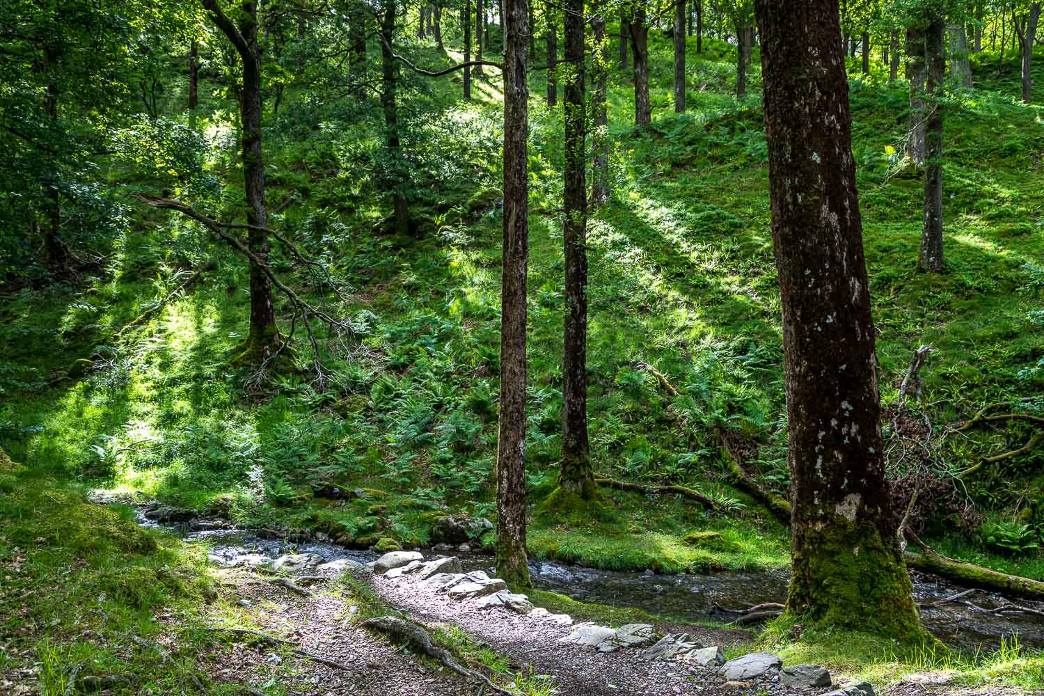
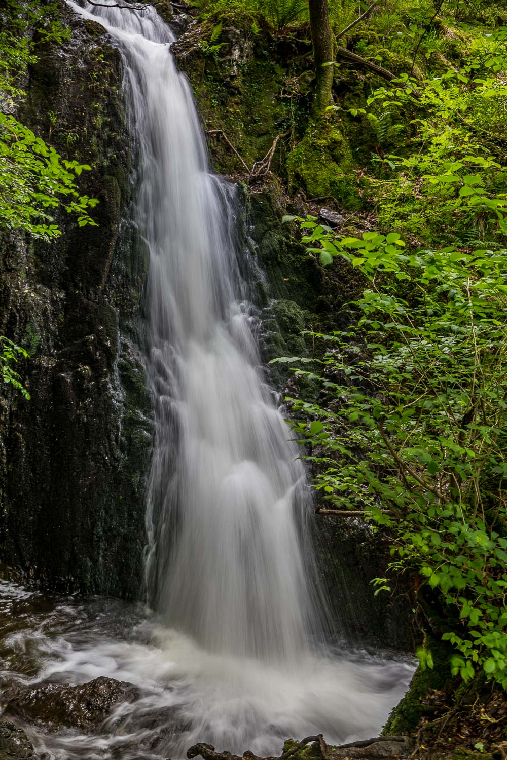
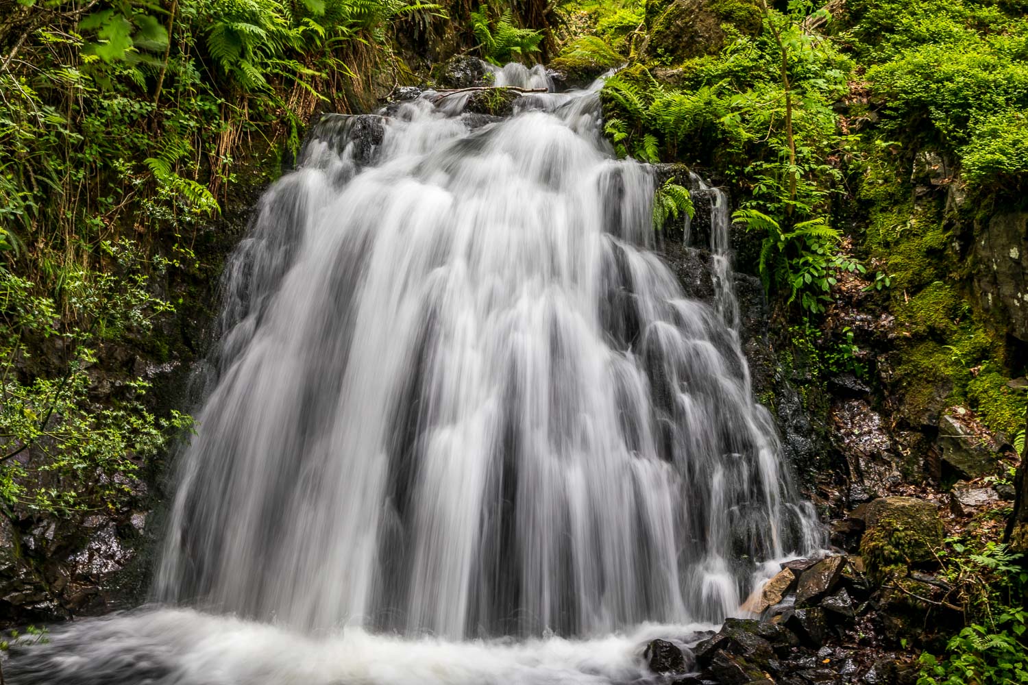
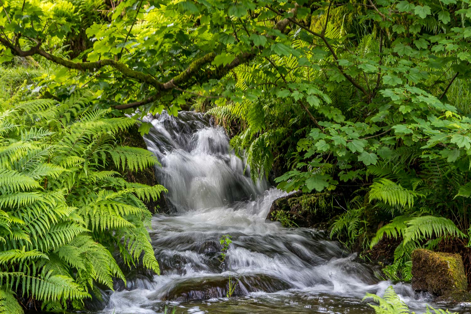
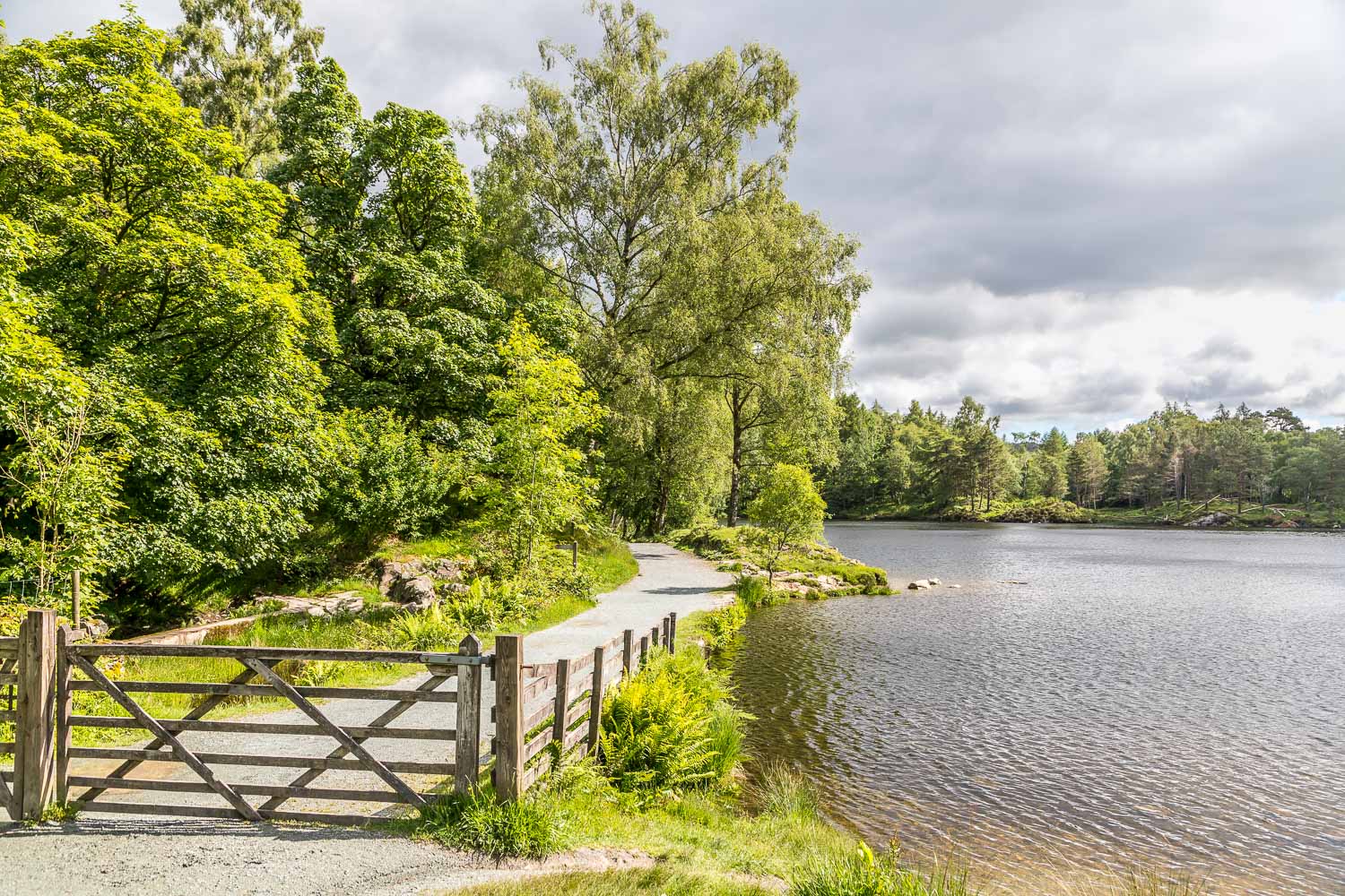
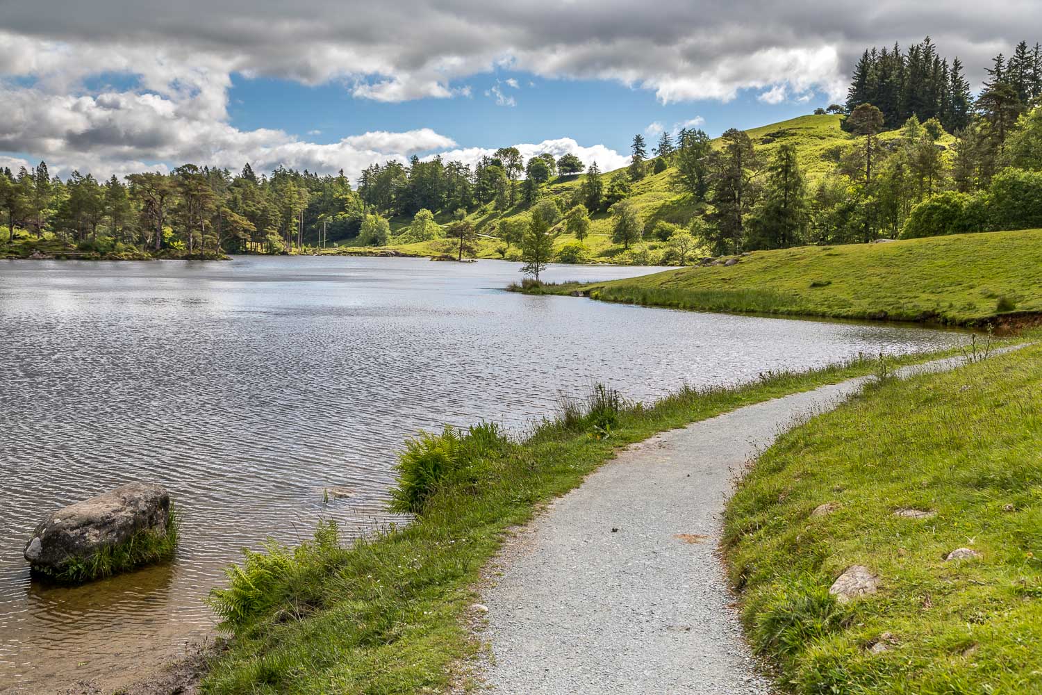
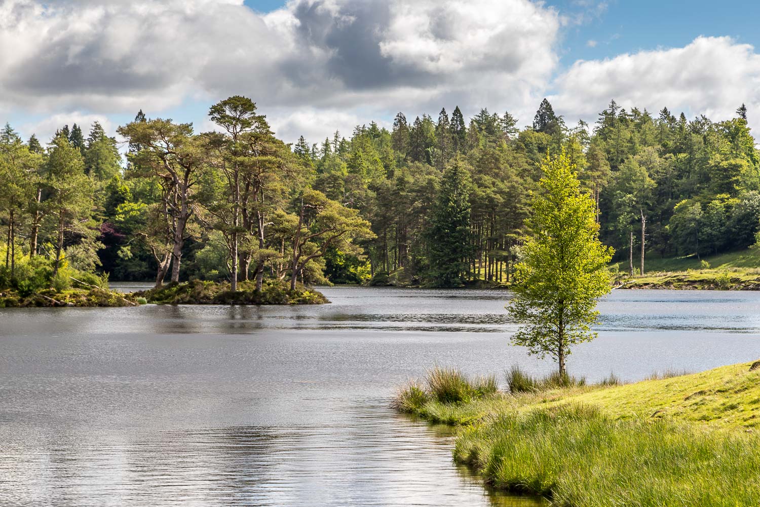
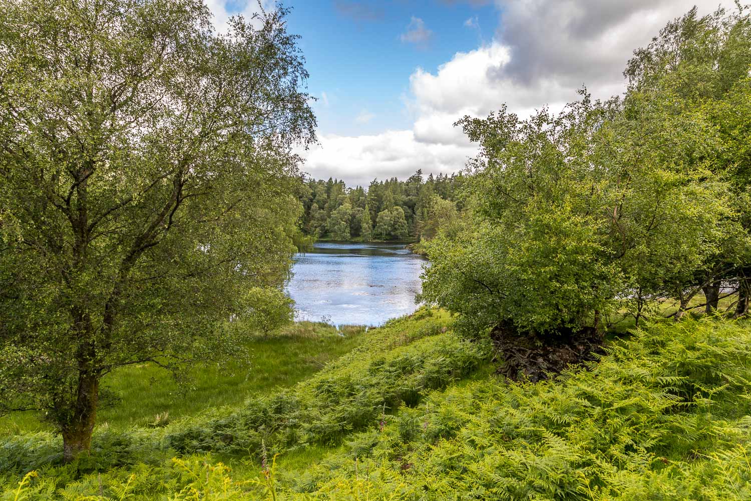
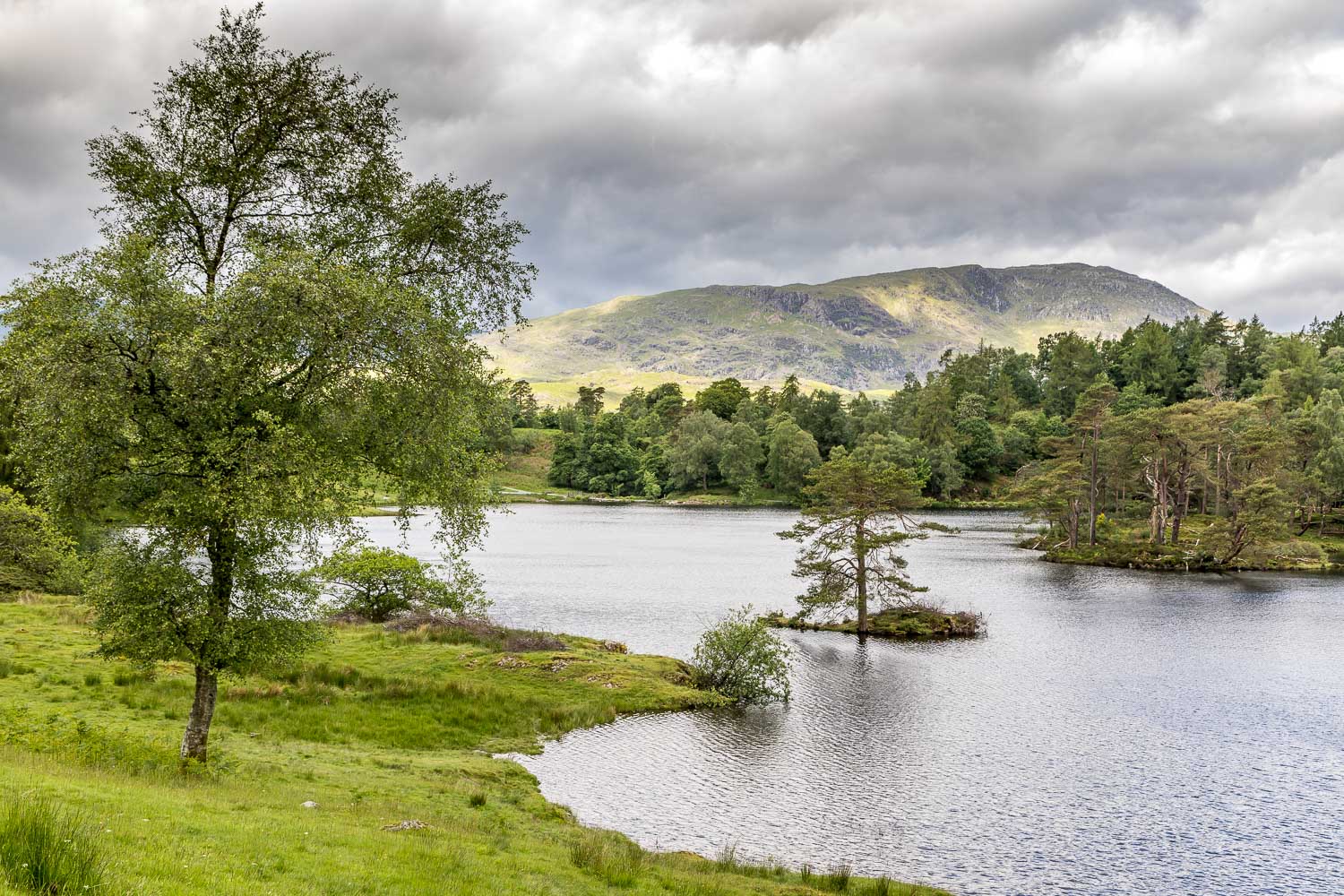
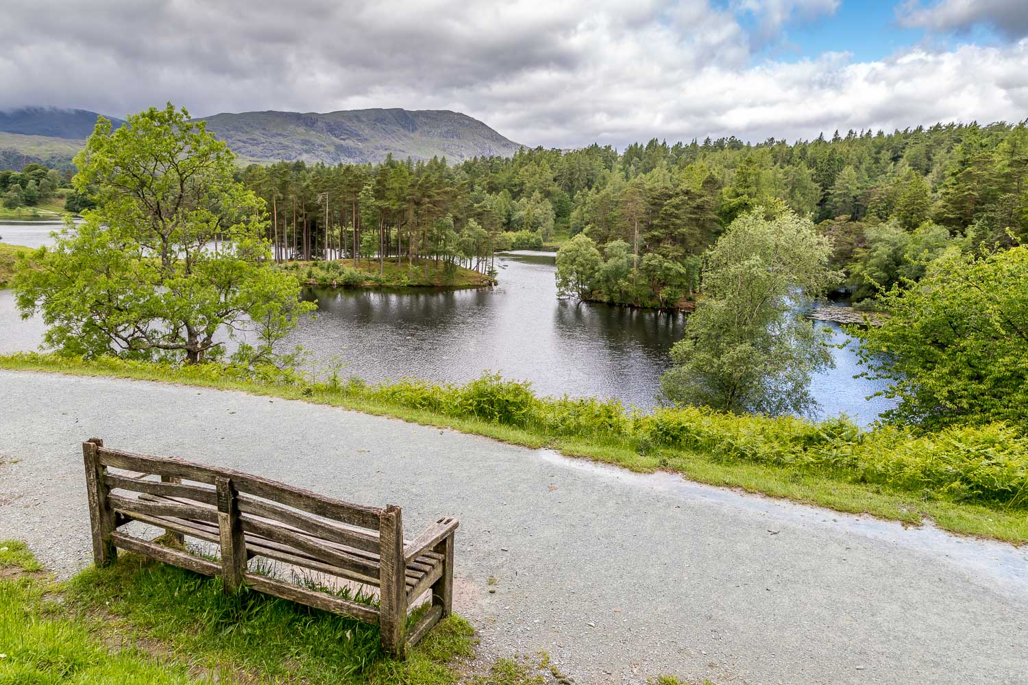
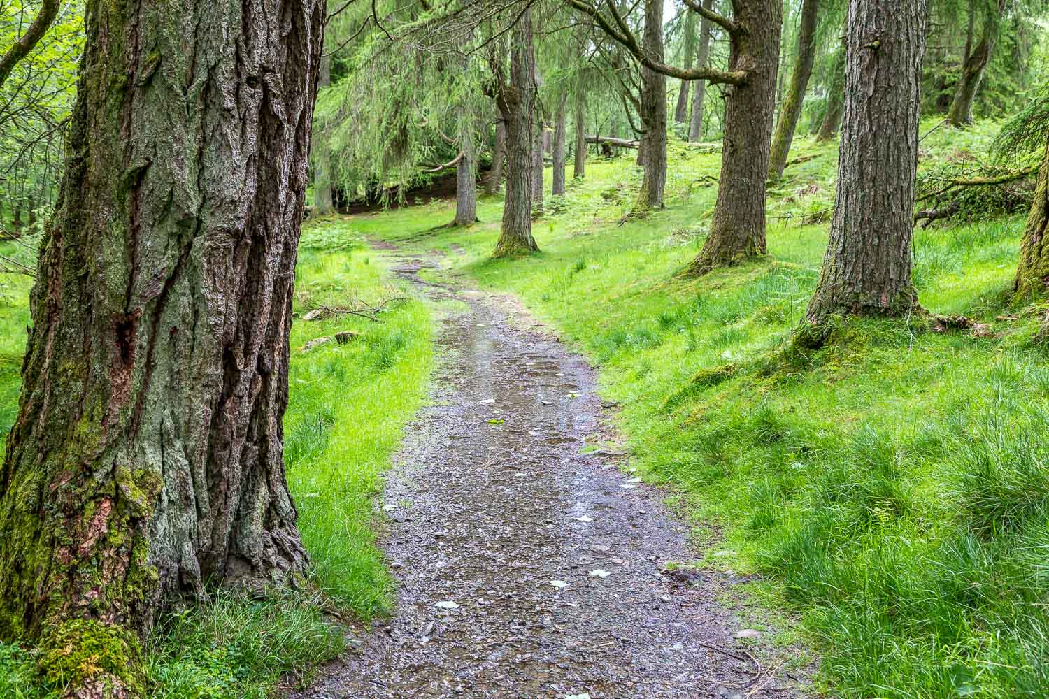
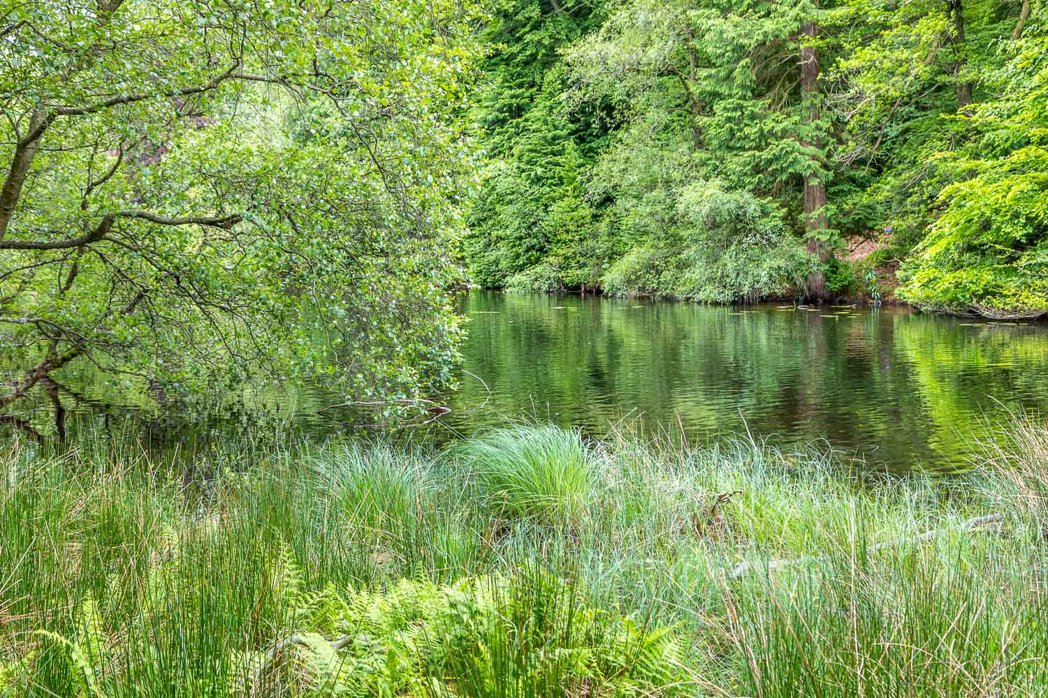
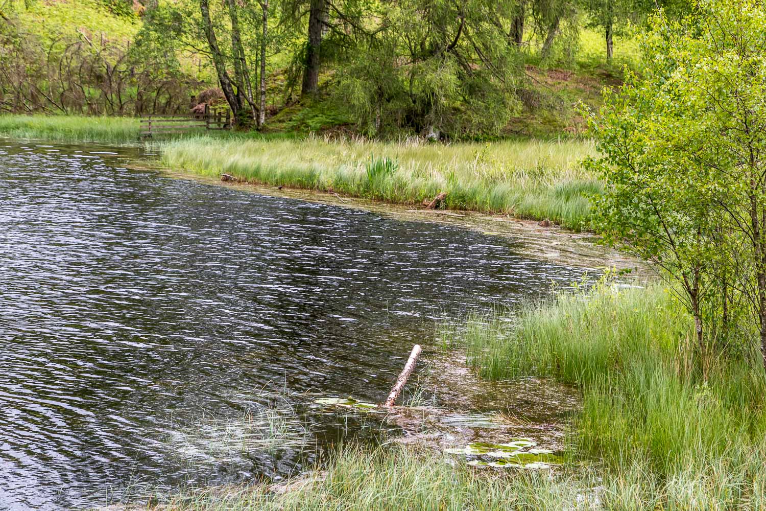
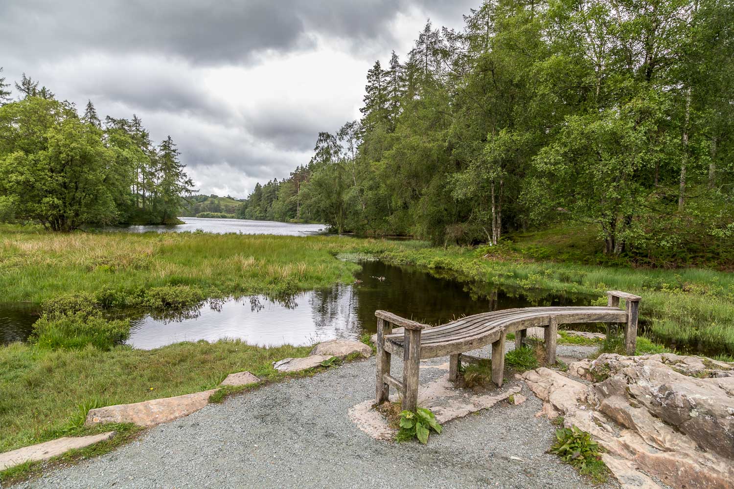
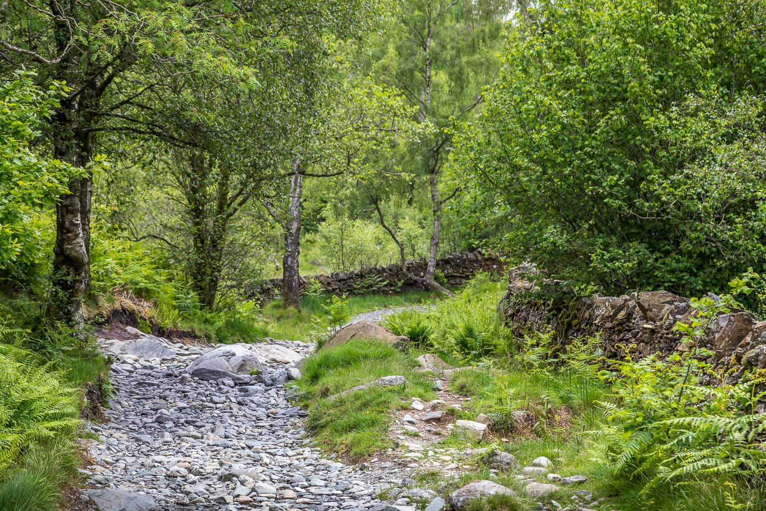
We parked at Glen Mary car park and climbed up through the woods alongside Tom Gill, enjoying the waterfalls as we did so – they were on splendid form after yesterday’s incessant rain. After 15 minutes or so we arrived at Tarn Hows. The tarn is artificial, and was formed in the 19C when three smaller tarns were united, but it now blends seamlessly into the landscape
This is one of the most visited spots in the Lake District. Its beauty and accessibility are a magnet for all and if you like to walk in relative solitude, as we do, arrive early and avoid the school holidays
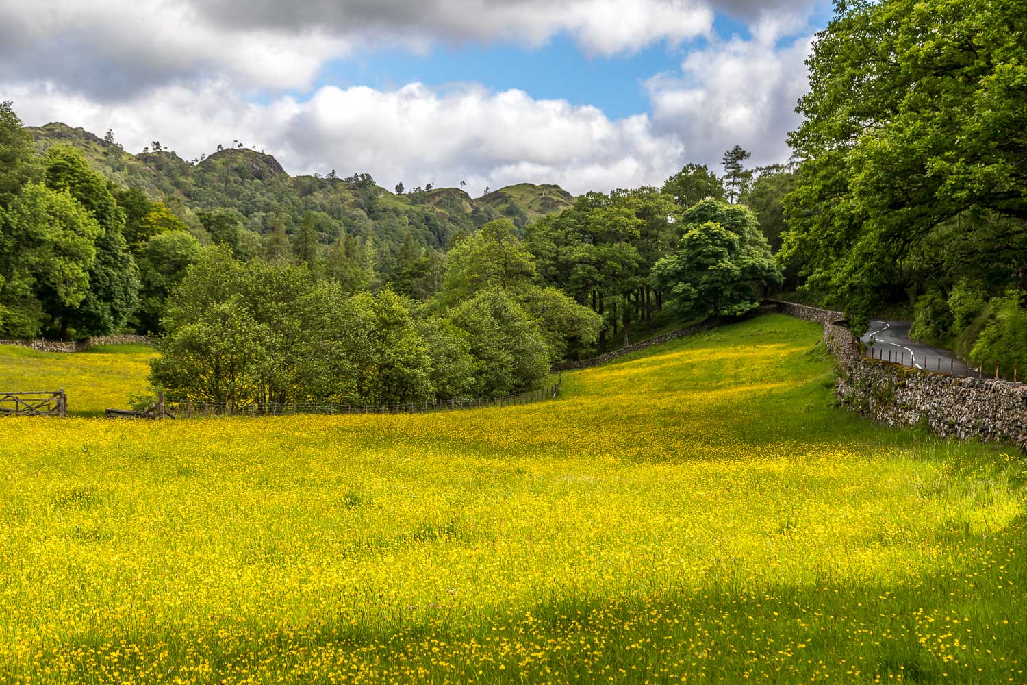
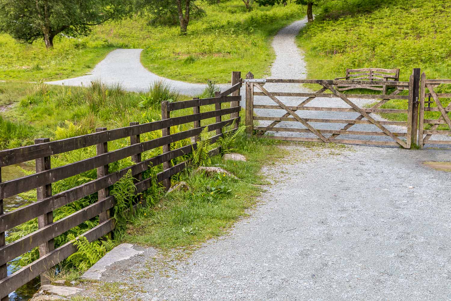
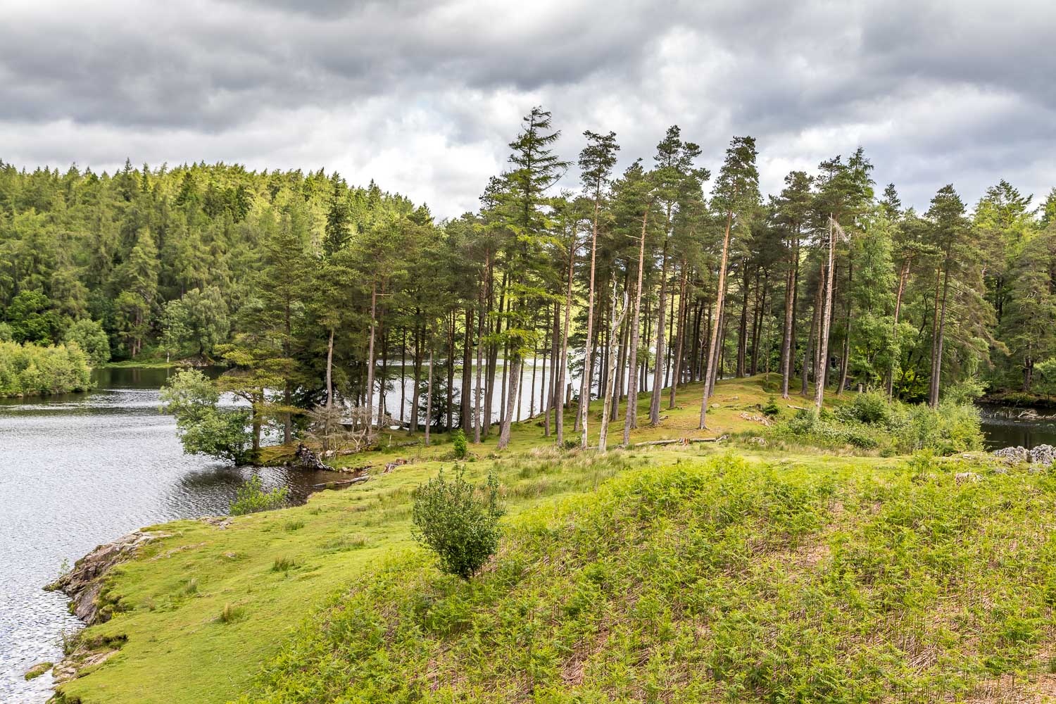
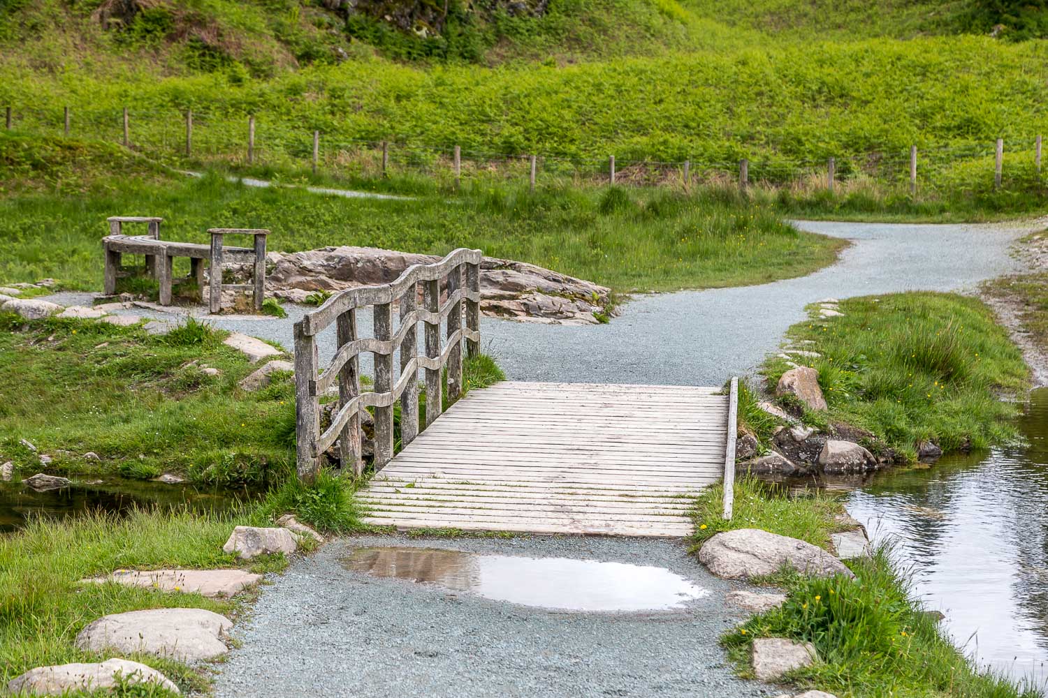
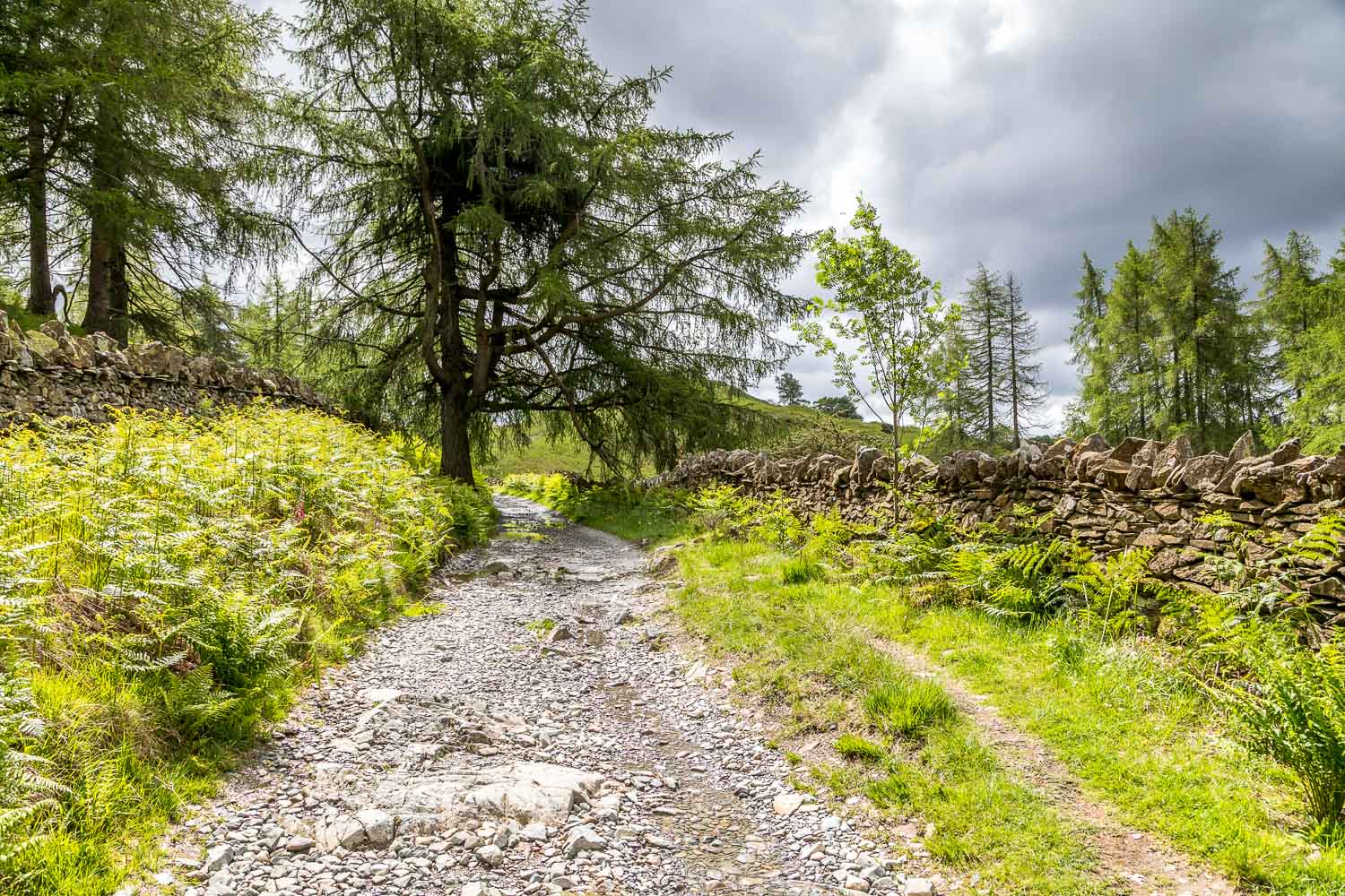
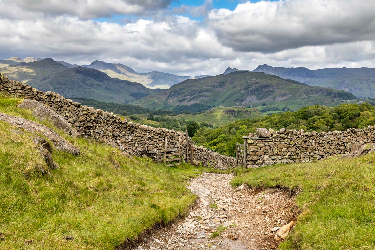
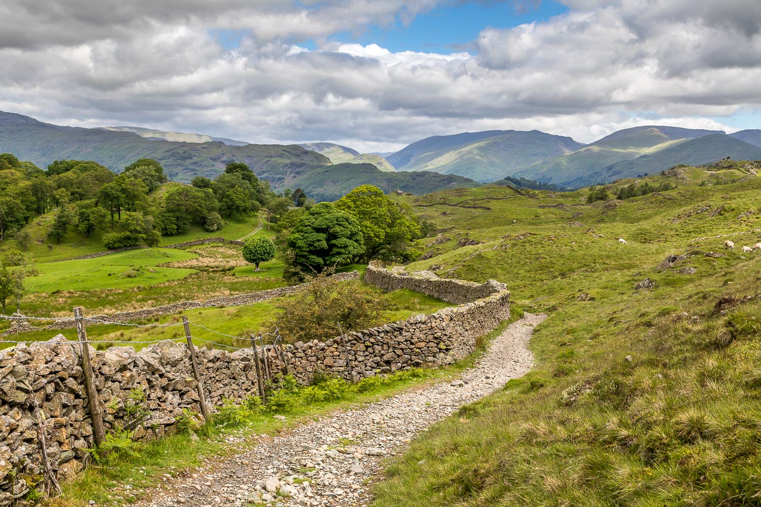
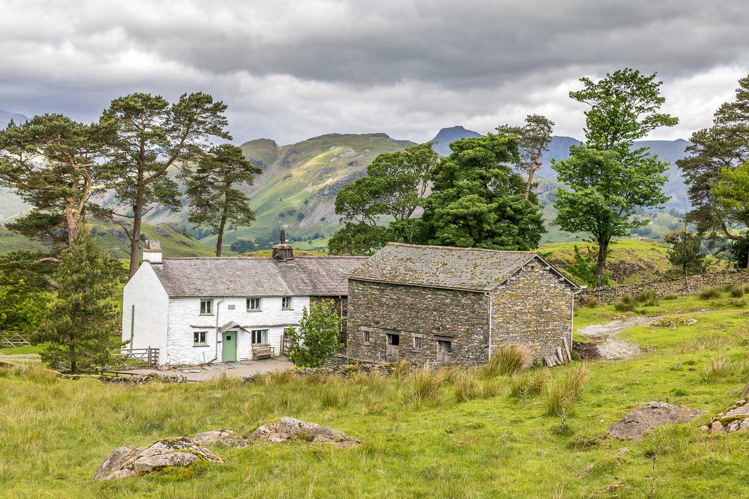
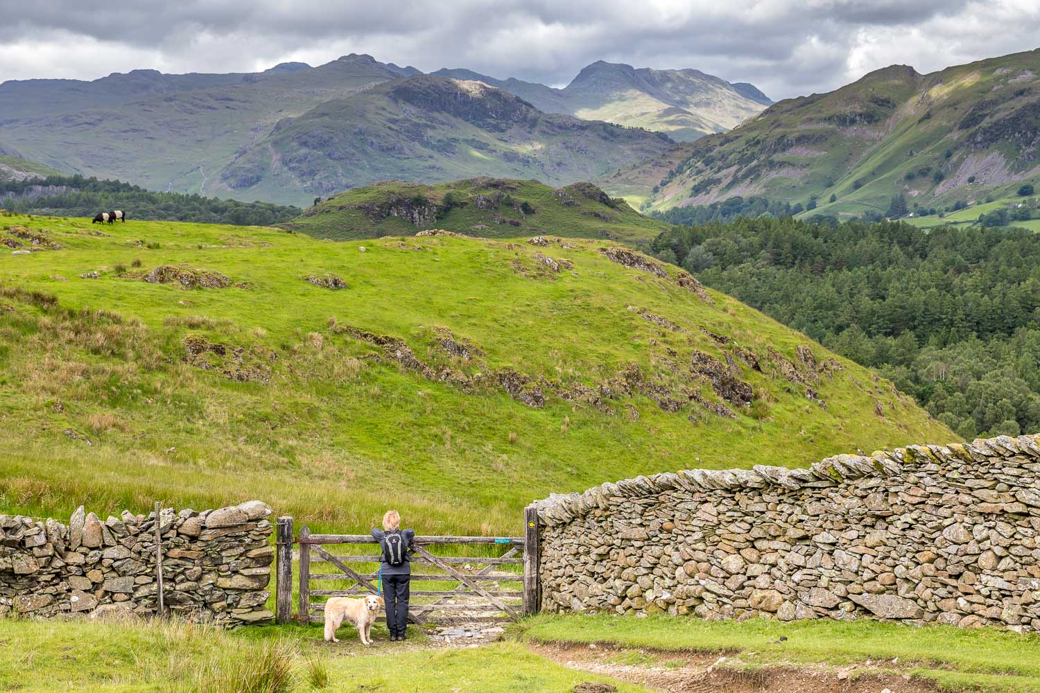
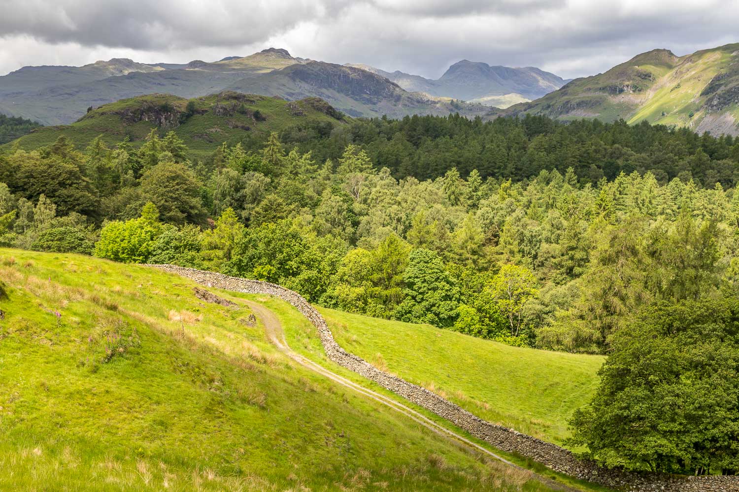
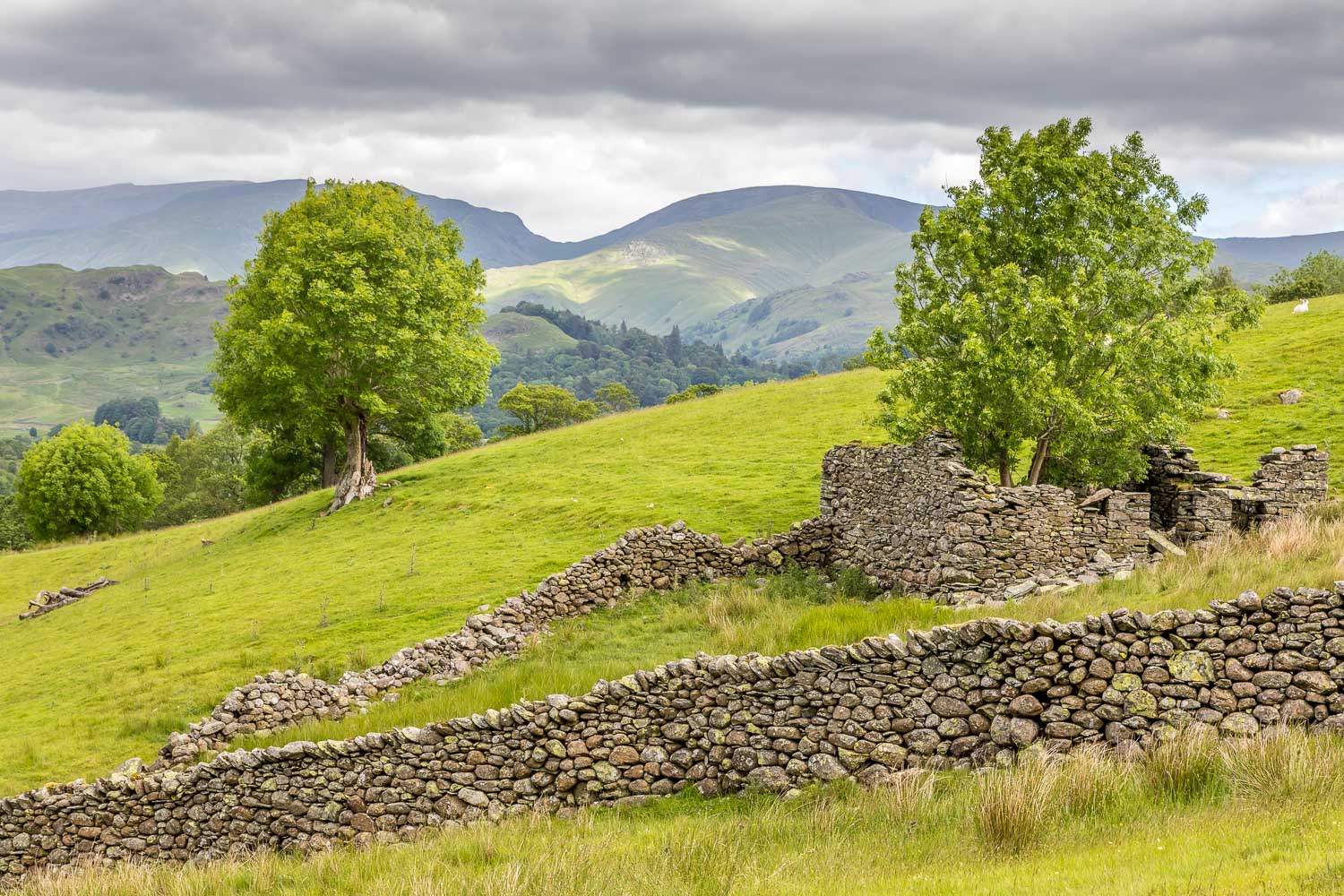
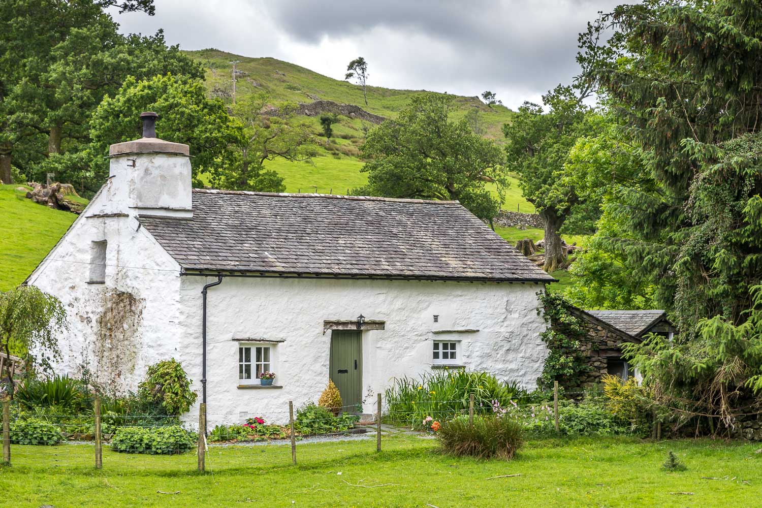
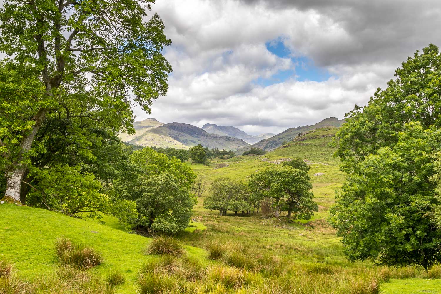
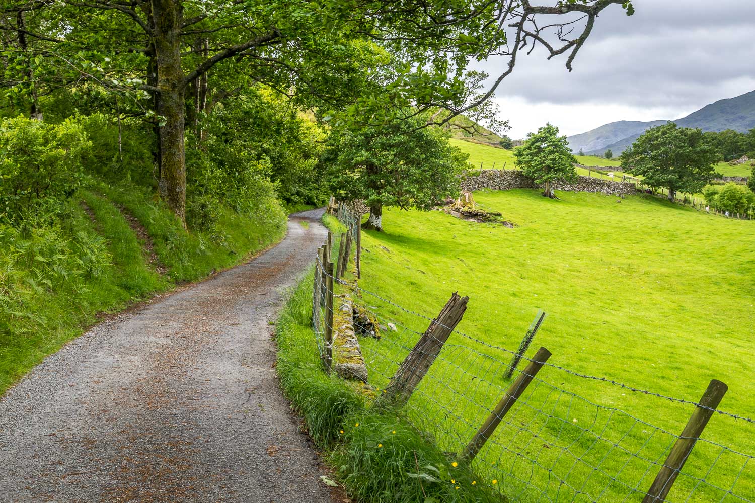
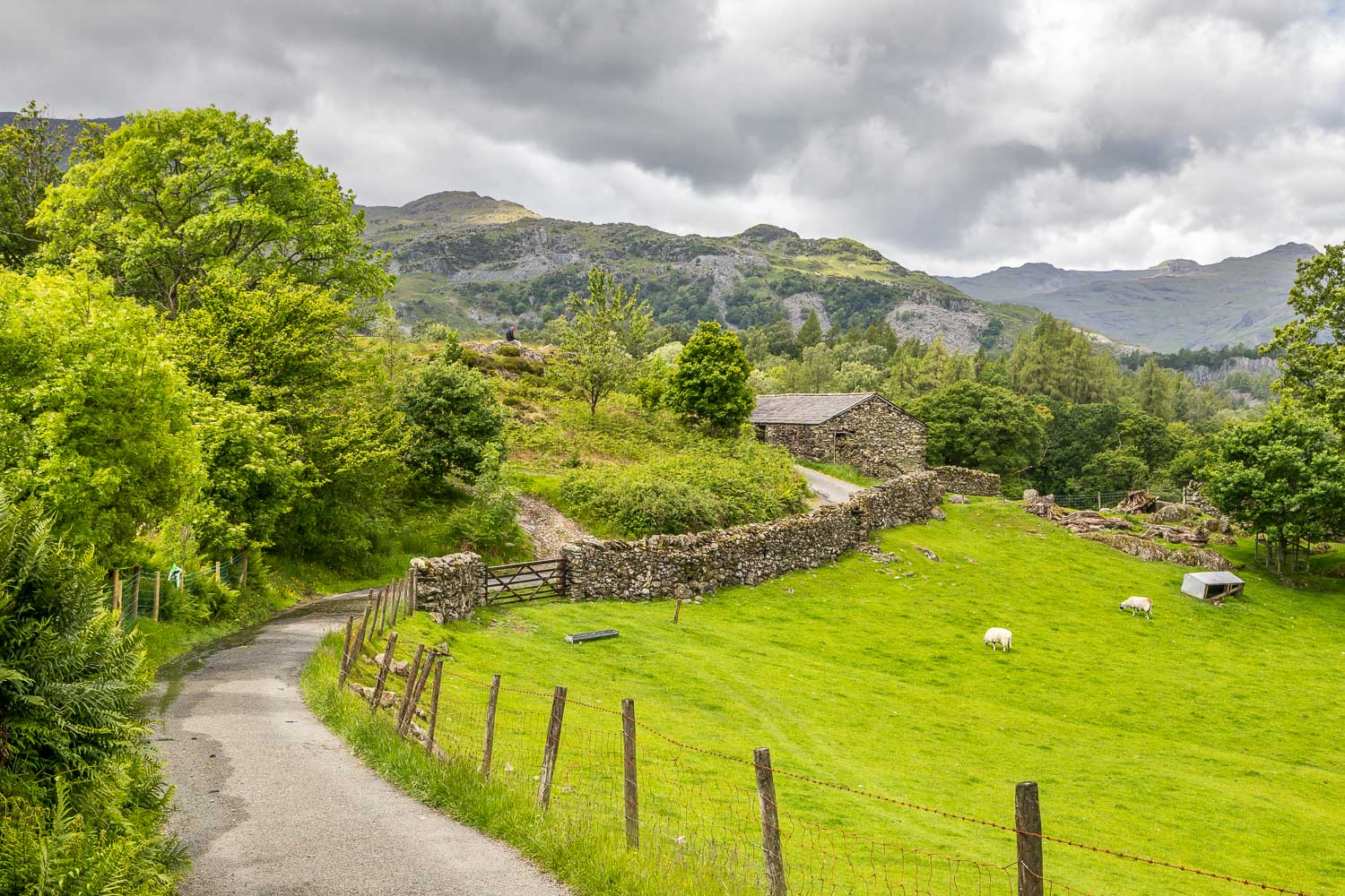
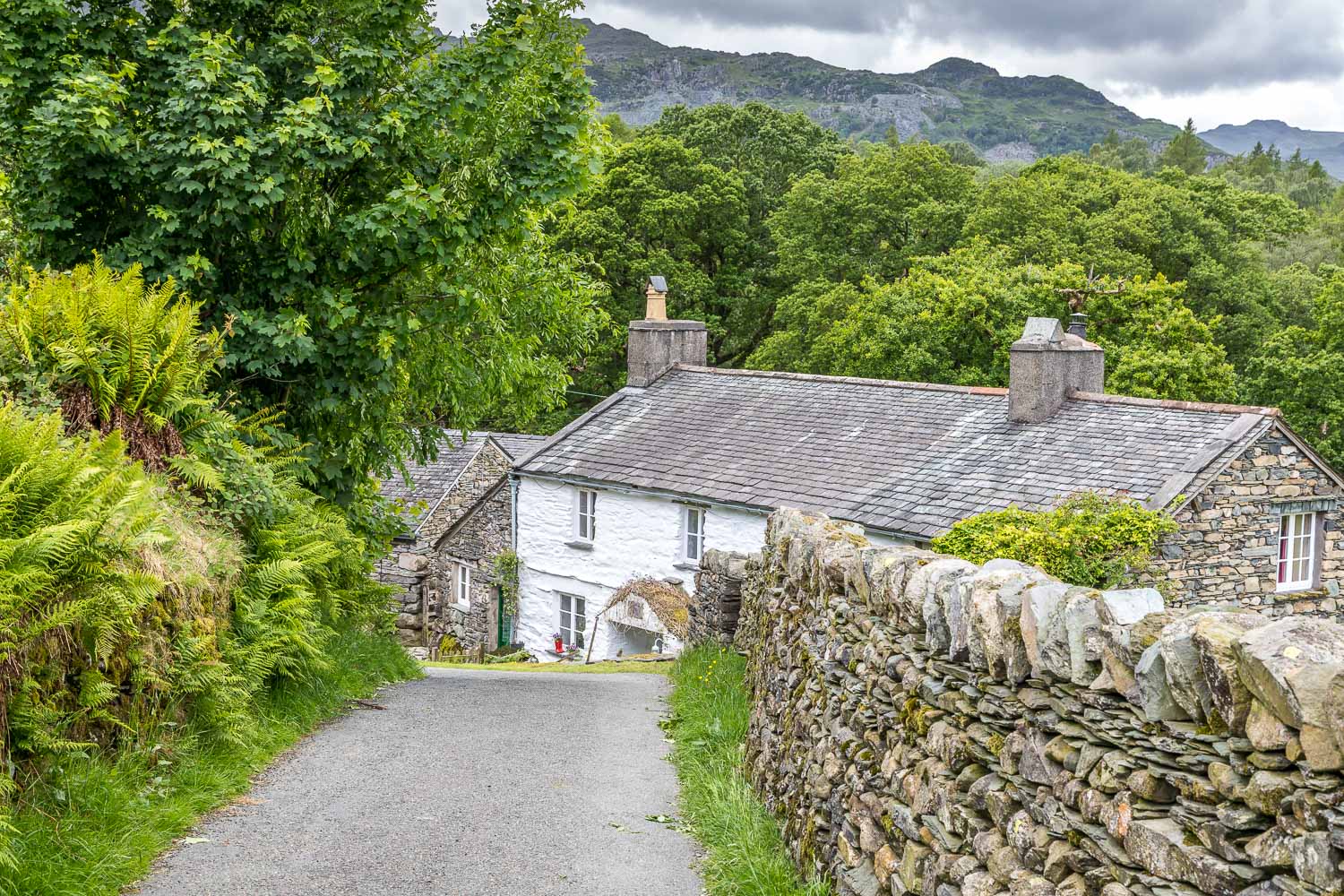
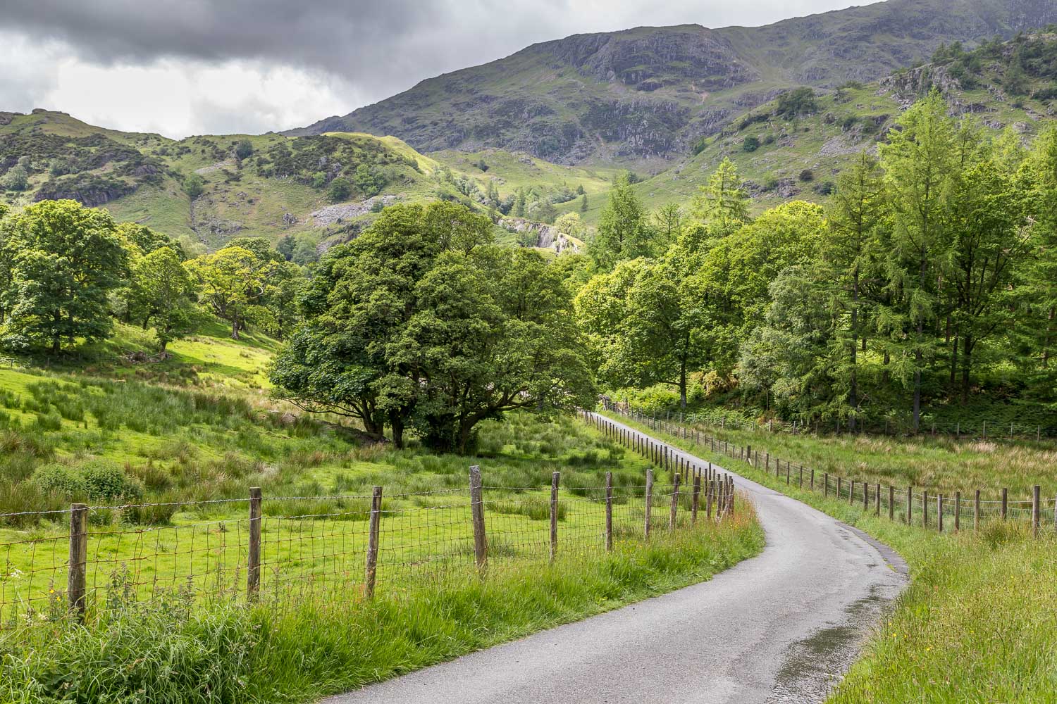
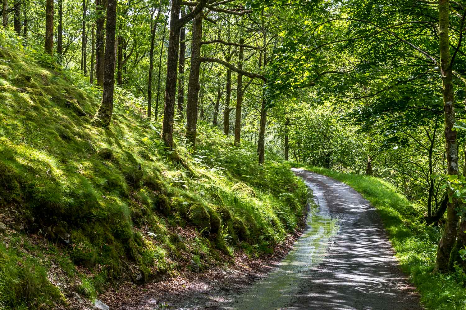
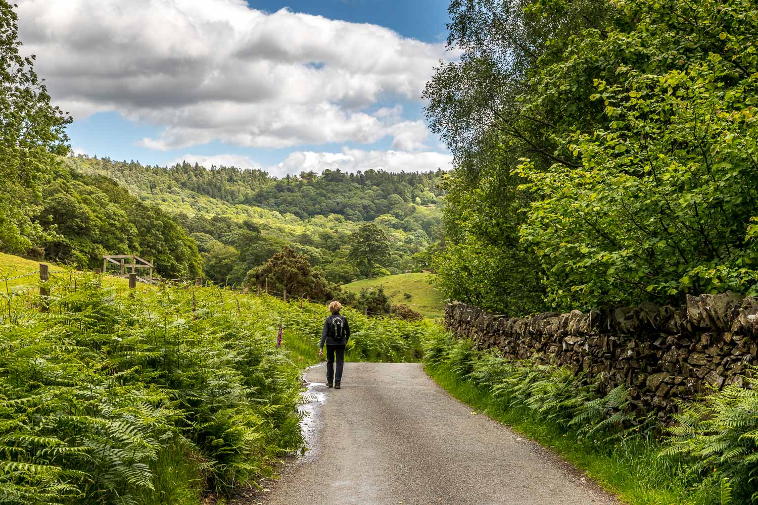
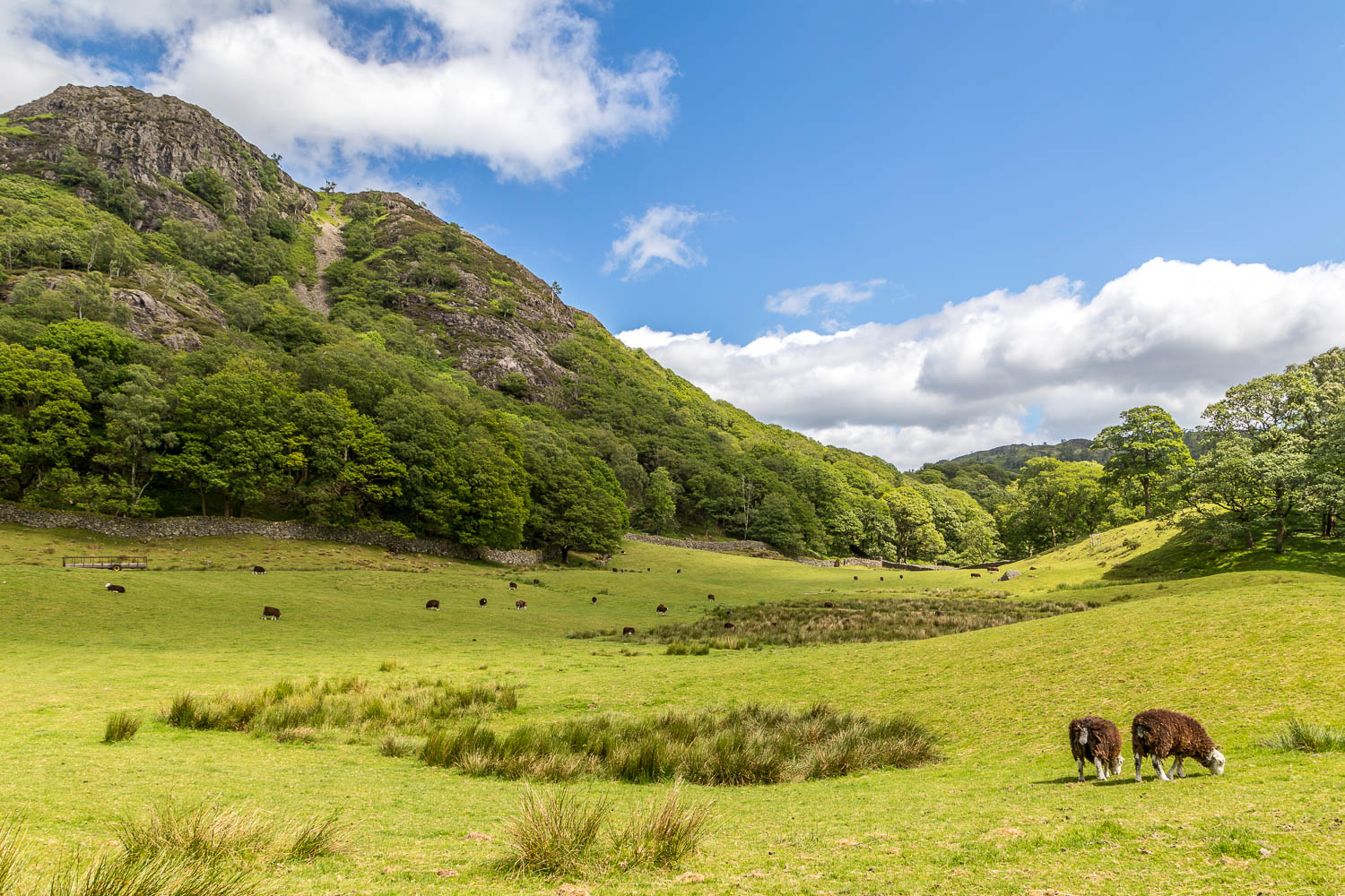
We set off around the easy path in a clockwise direction, passing through Rose Castle Plantation, and then left the shore of the tarn to head north through Iron Keld Plantation. As we approached Arnside views of the Landgale Pikes and Bowfell appeared. At the northernmost point of the walk we started the return journey through beautiful countryside. We followed a narrow lane for most of the way, but in the space of 3 miles or so we only saw a couple of cars so felt no need to follow an alternative footpath running parallel with the road
For other walks here, visit my Find Walks page and enter the name in the ‘Search site’ box
Click on the icon below for the route map (subscribers to OS Maps can view detailed maps of the route, visualise it in aerial 3D, and download the GPX file. Non-subscribers will see a base map)
Scroll down – or click on any photo to enlarge it and you can then view as a slideshow
