Route: Rosedale
Area: North Yorkshire
Date of walk: 23rd September 2017
Walkers: Andrew and Gilly
Distance: 6.6 miles
Ascent: 1,000 feet
Weather: Cloudy with a couple of bright patches, warm
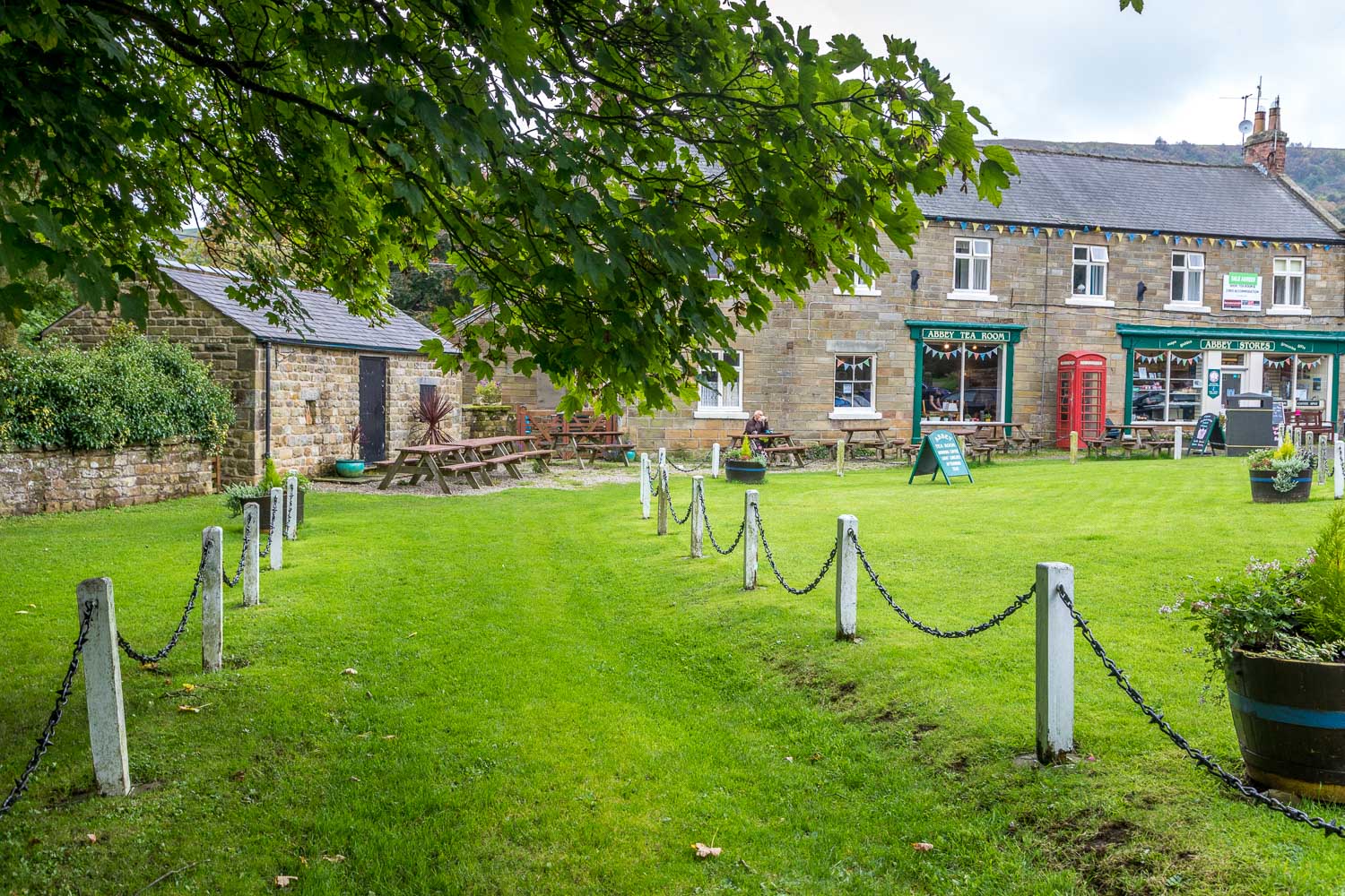
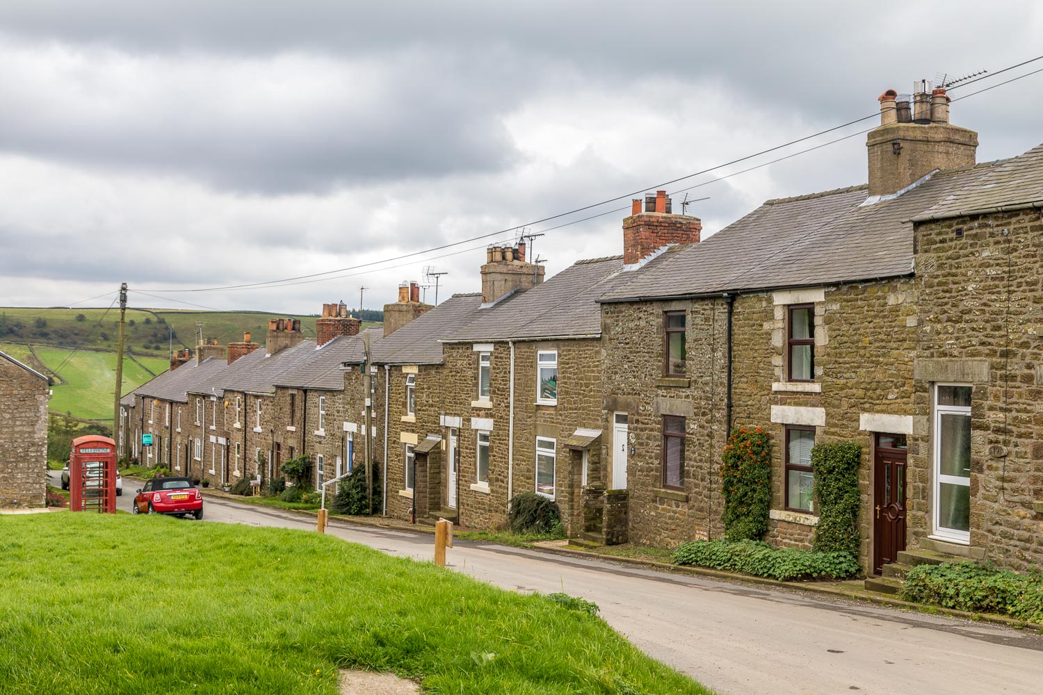
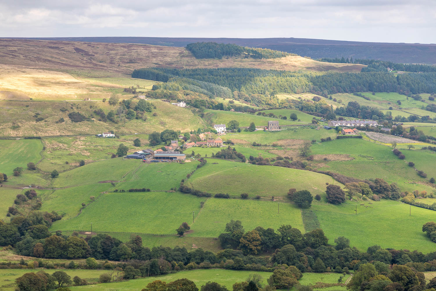
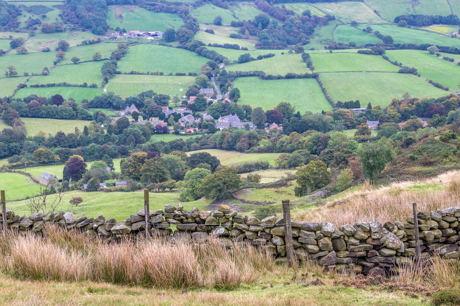
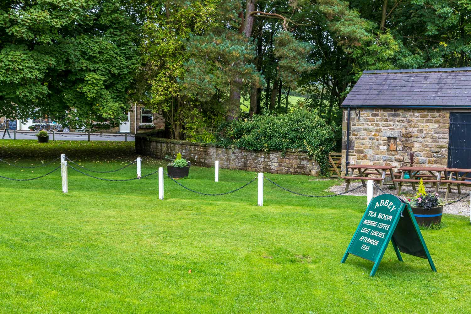
We parked by the village green in the lovely village of Rosedale Abbey, which is now a quiet backwater, but in the 19th century was at the centre of a busy iron-mining area. In those days the population of the valley reached 3,000, an expansion made possible by the construction of a railway which carried the iron ore across the moorland. We would use the old railway line for the return leg to the village
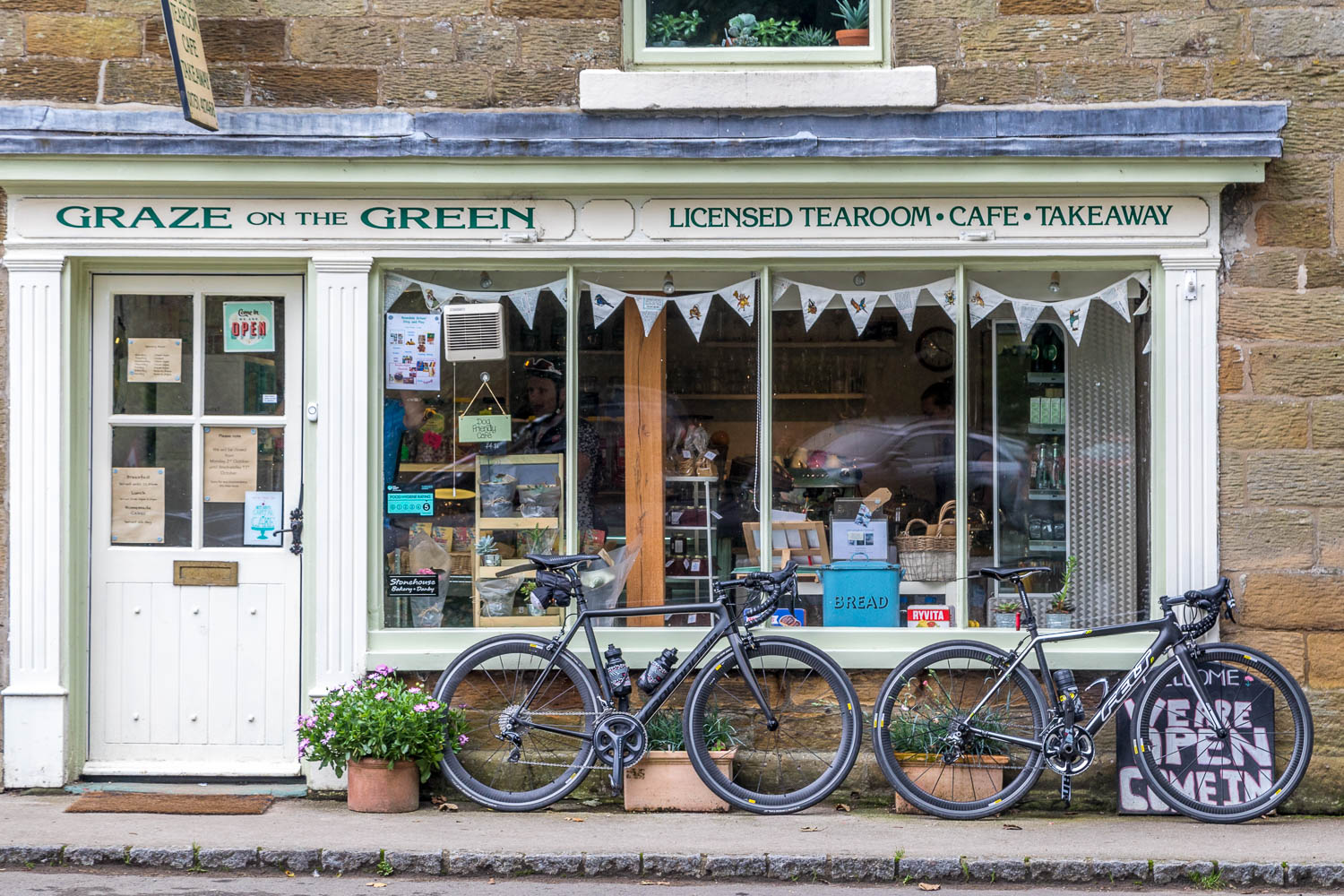
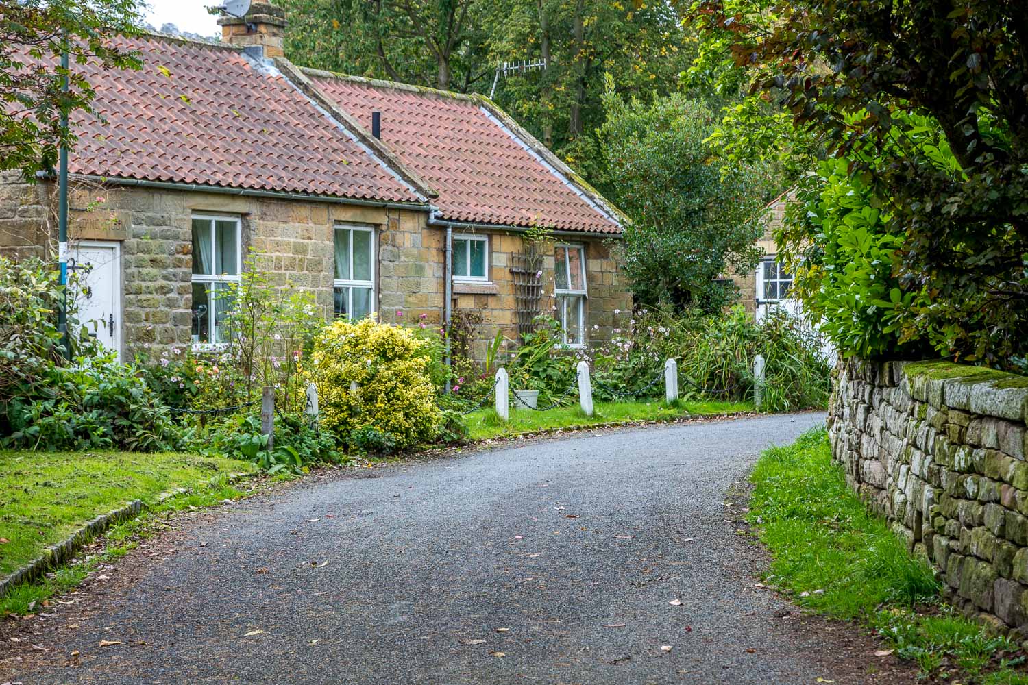
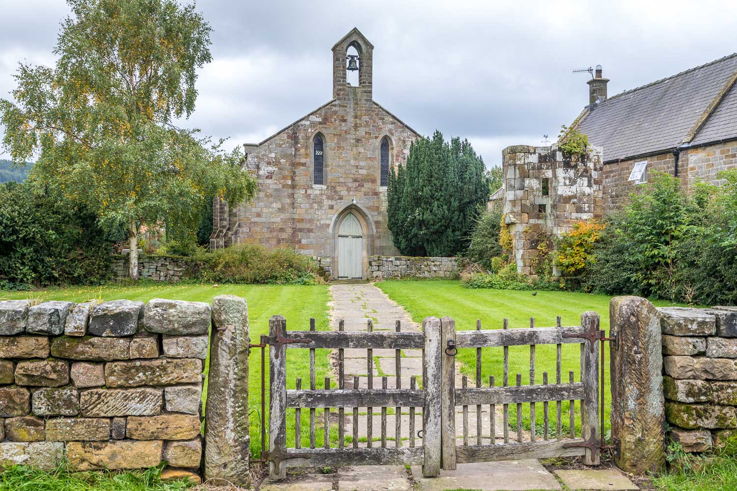
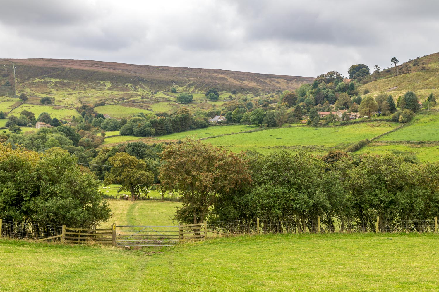
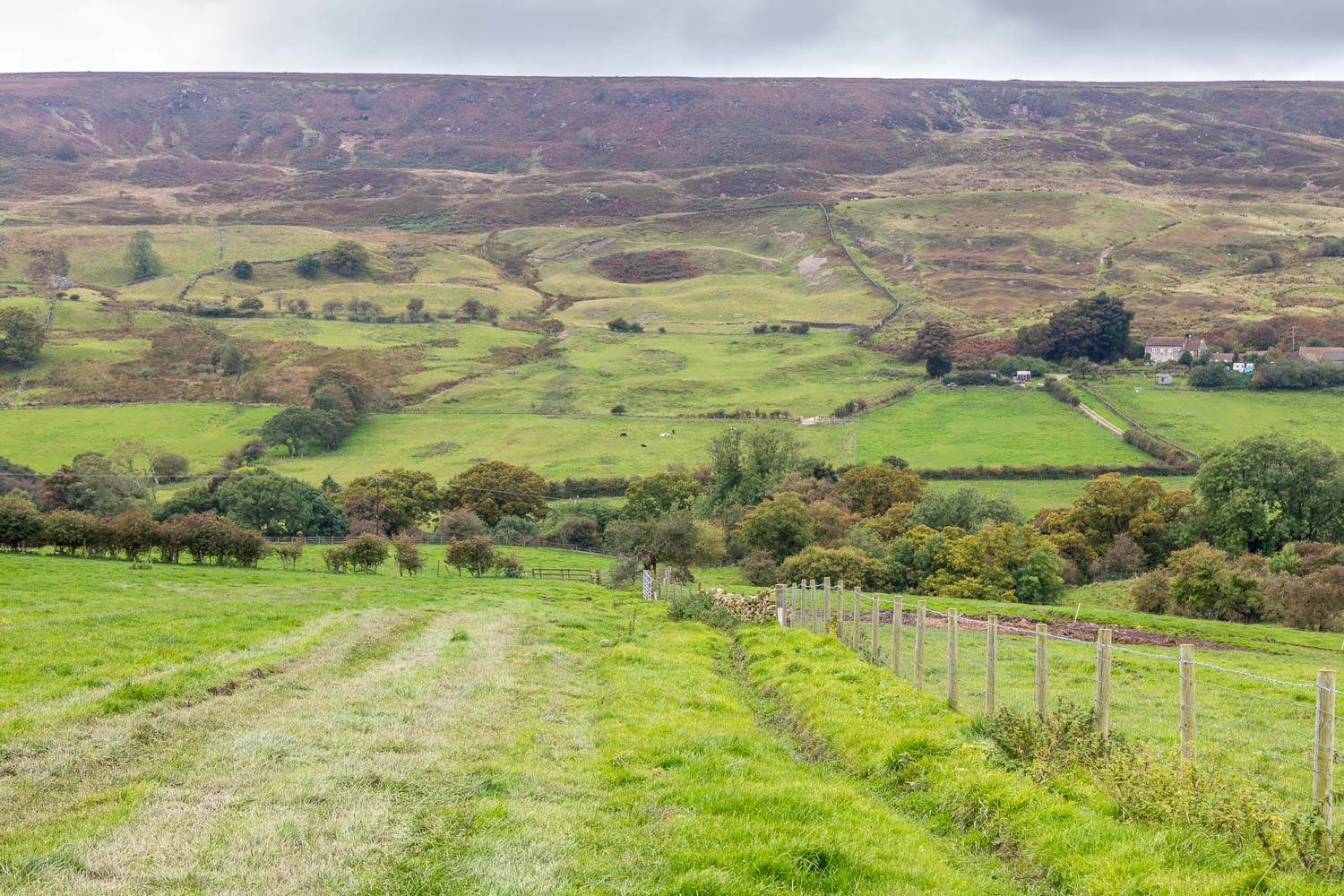
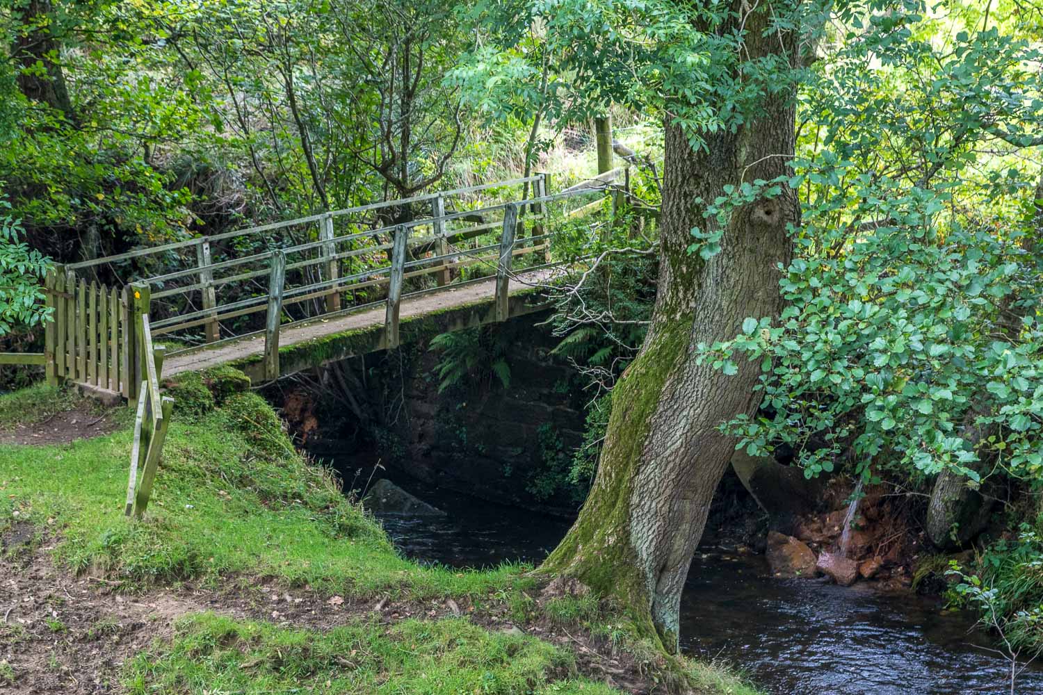
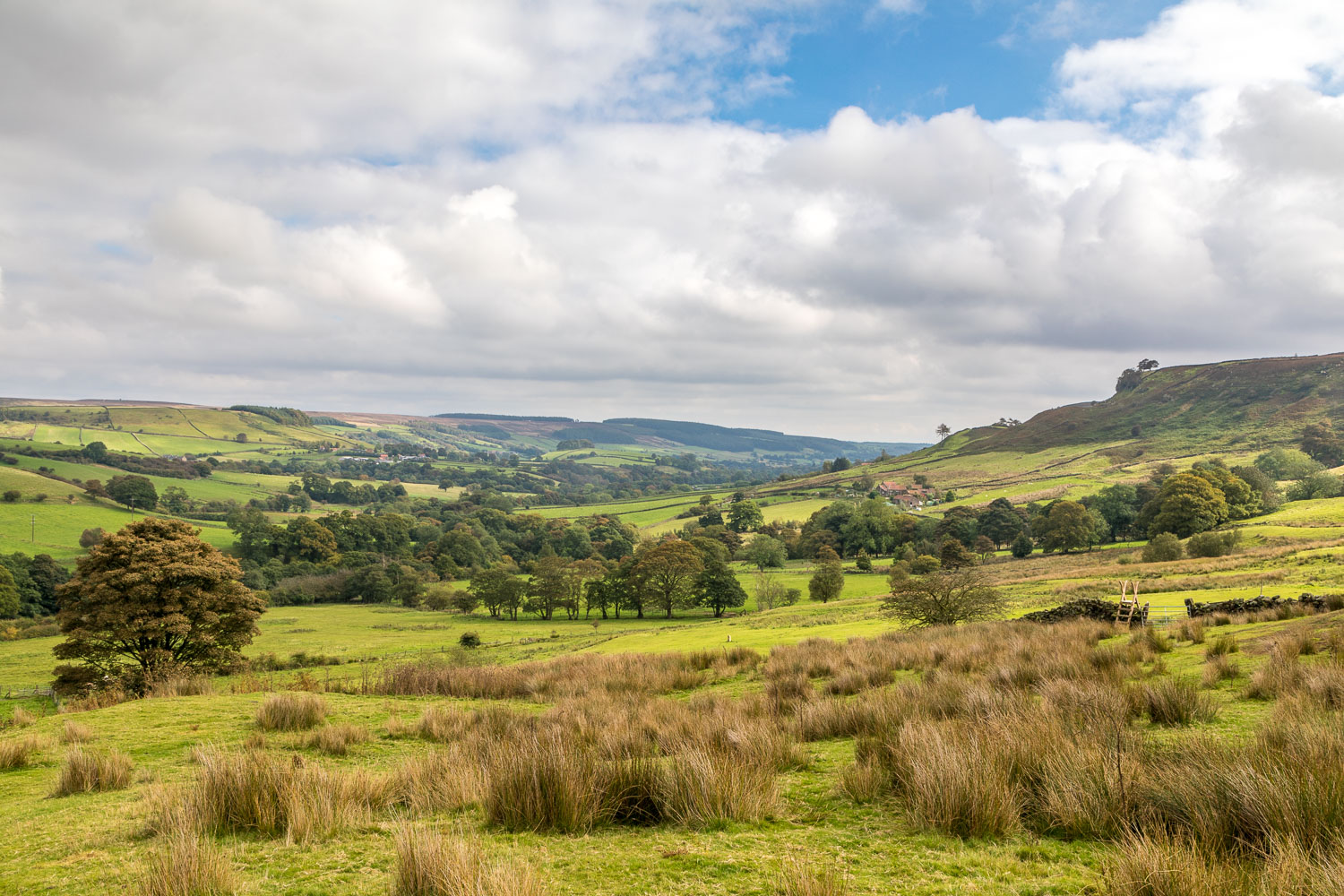
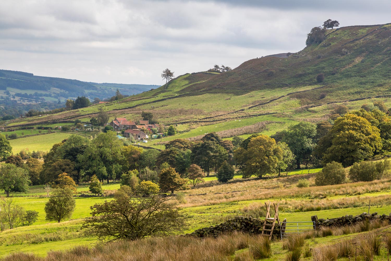
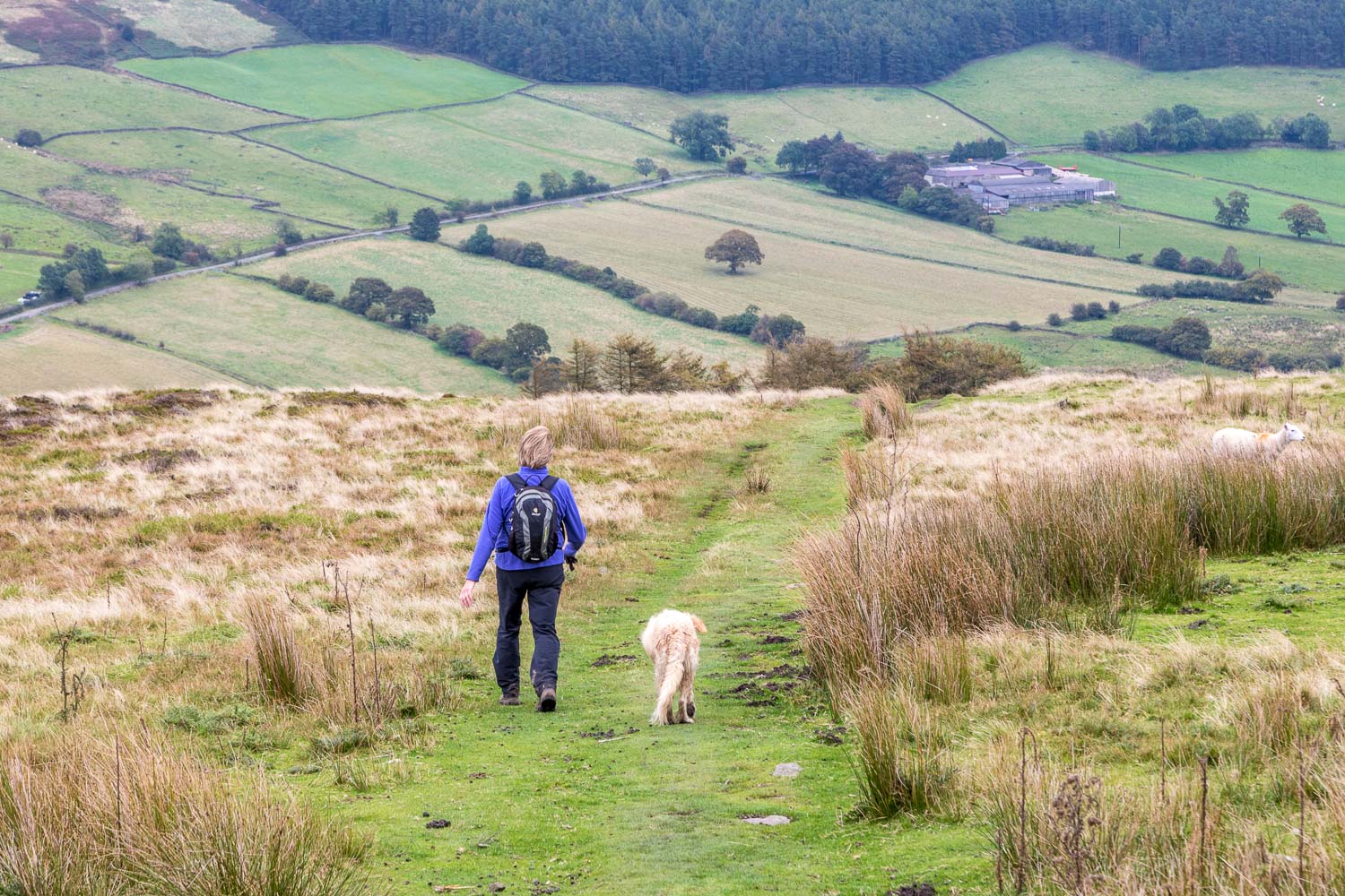
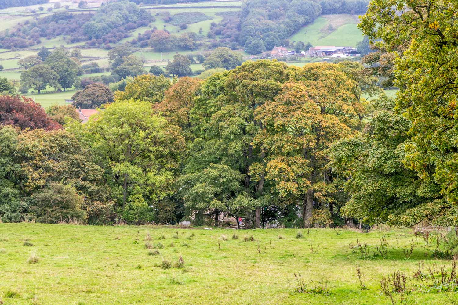
We’d made a late start, so before setting off from Rosedale Abbey we topped up our tanks at the excellent Graze on the Green. Suitably fuelled we walked out of the village, passing by the church and then walking through a caravan park. We followed a path beside the River Seven for a while, and then left its banks to climb uphill to Hill Cottages. This brought us onto Daleside Road which we followed for a few yards before descending back down the valley, crossing the river, and making the climb up the other side of Rosedale onto open moorland
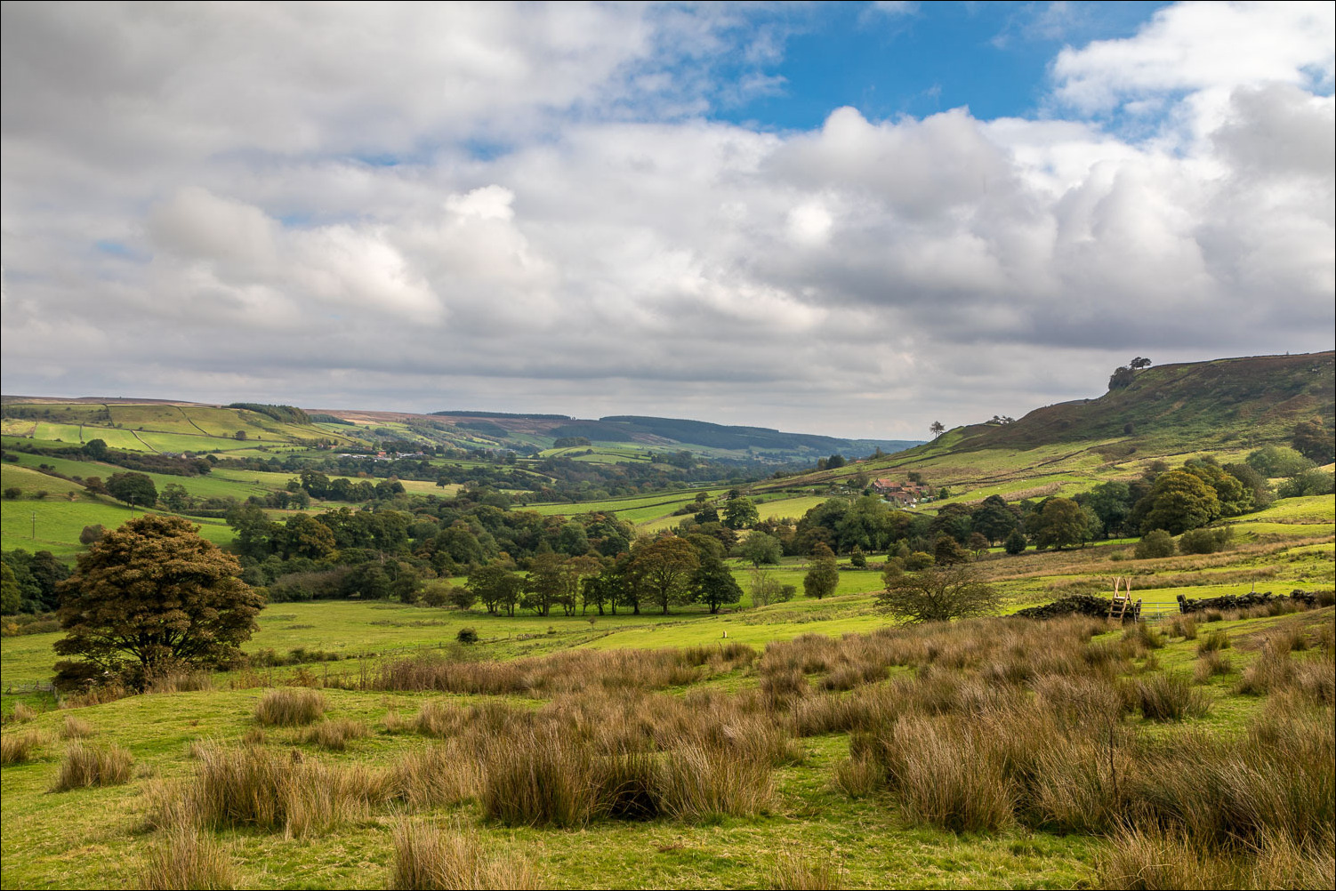
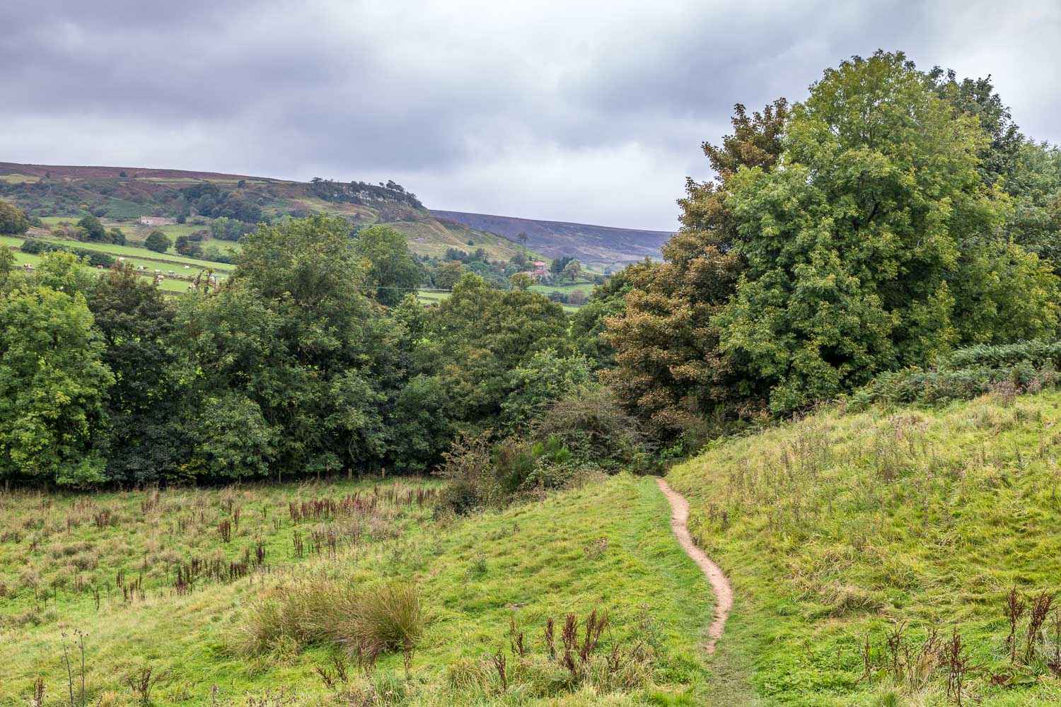
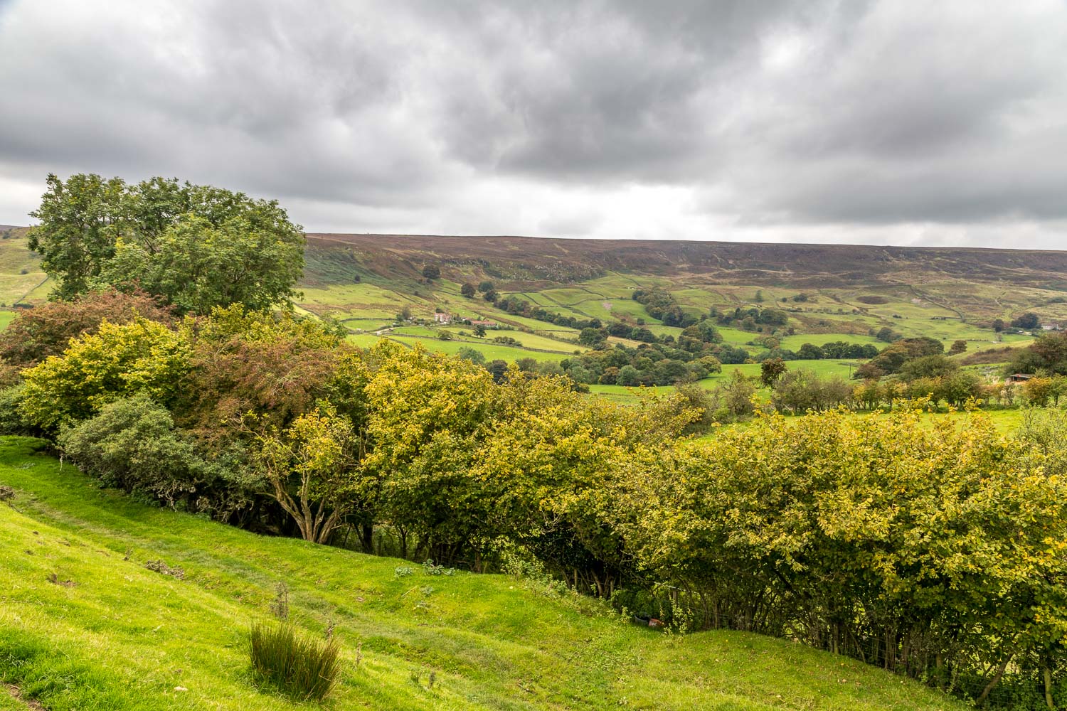
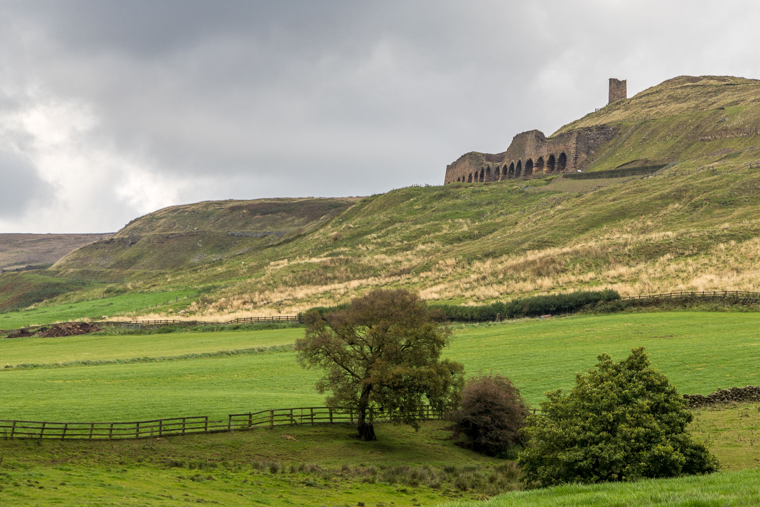
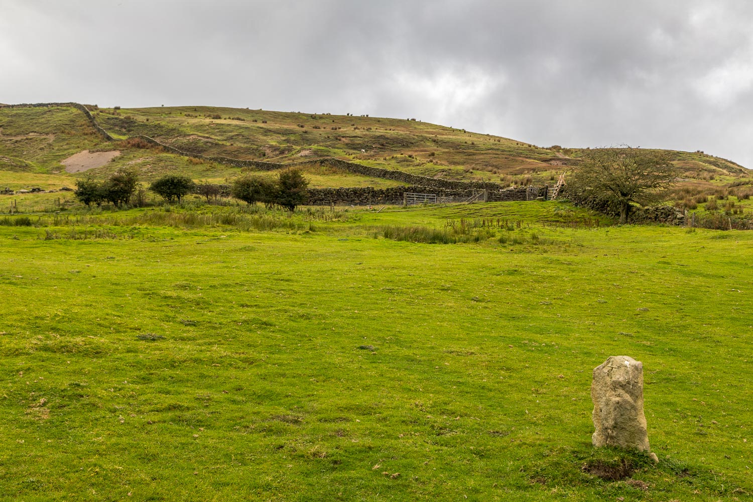
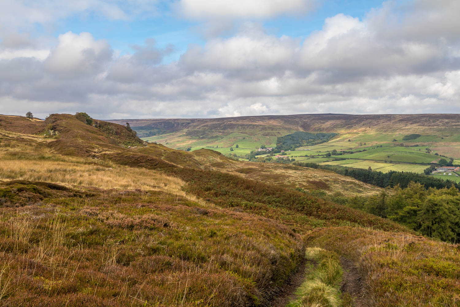
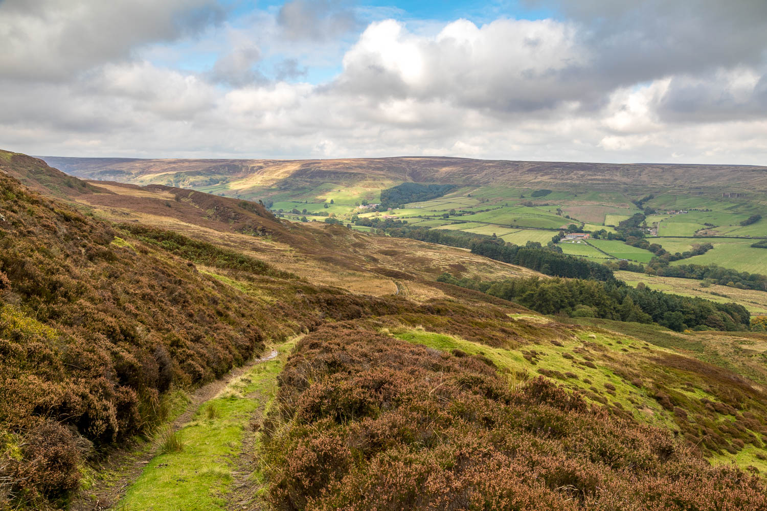
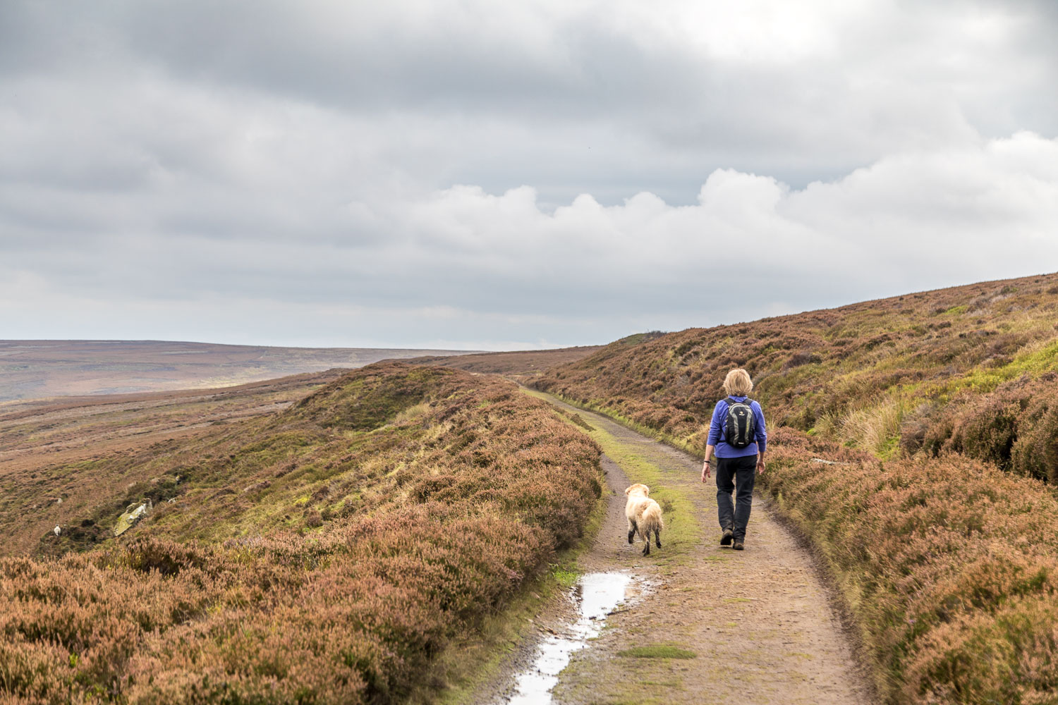
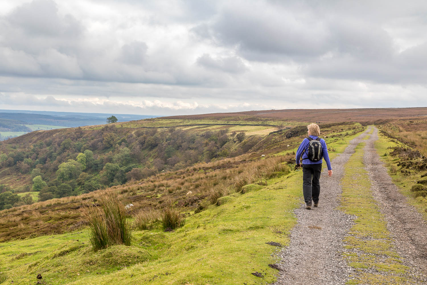
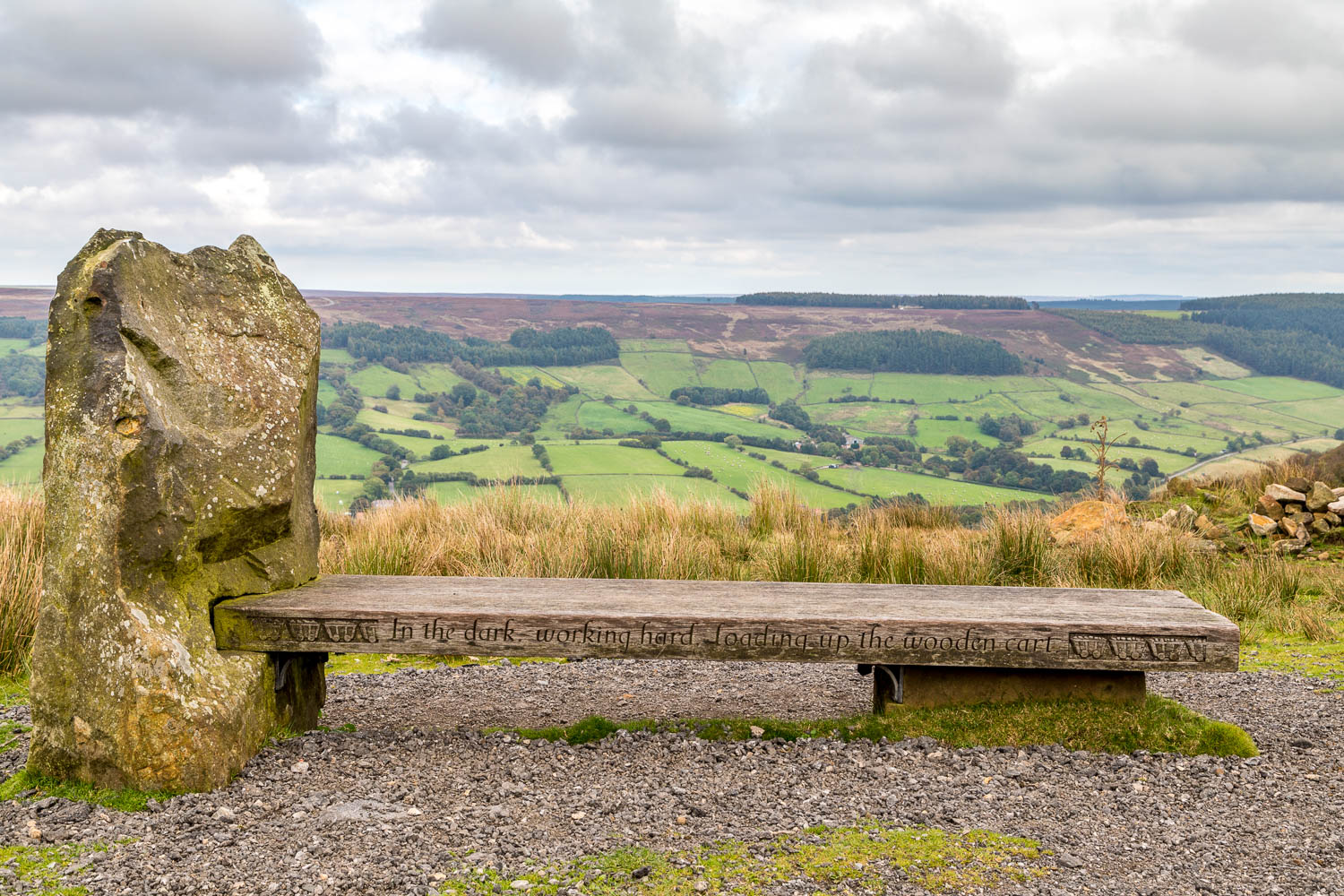
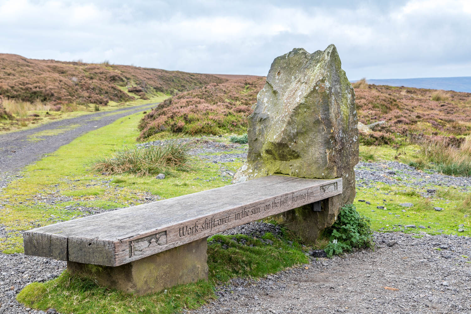
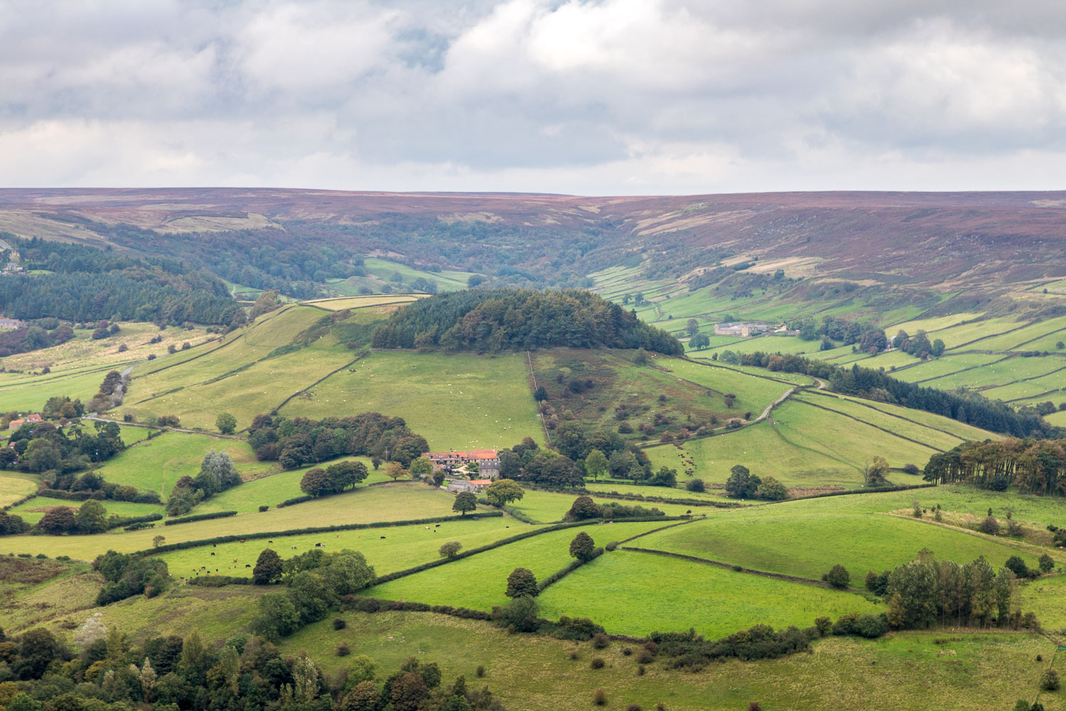
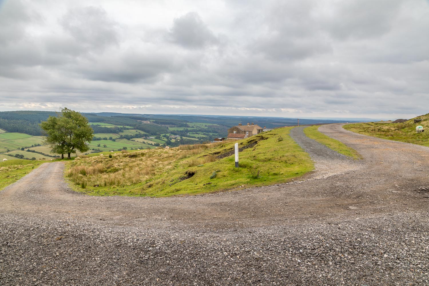
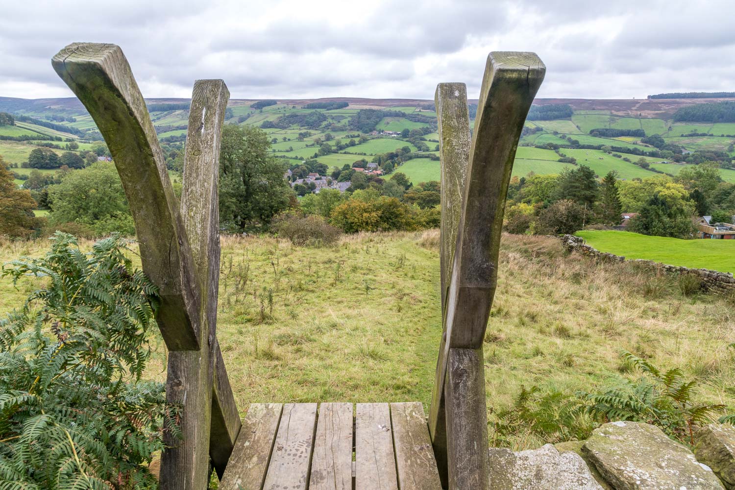
On reaching the moors we joined the route of the former Rosedale Ironstone Railway, which is not a public right of way, though the owners kindly permit walkers to use it. There then followed a wonderful high level walk of nearly 3 miles, all of it very easy going, with views over Rosedale on our left as we progressed. It’s a shame that the weather was dull and indifferent during this section of the walk
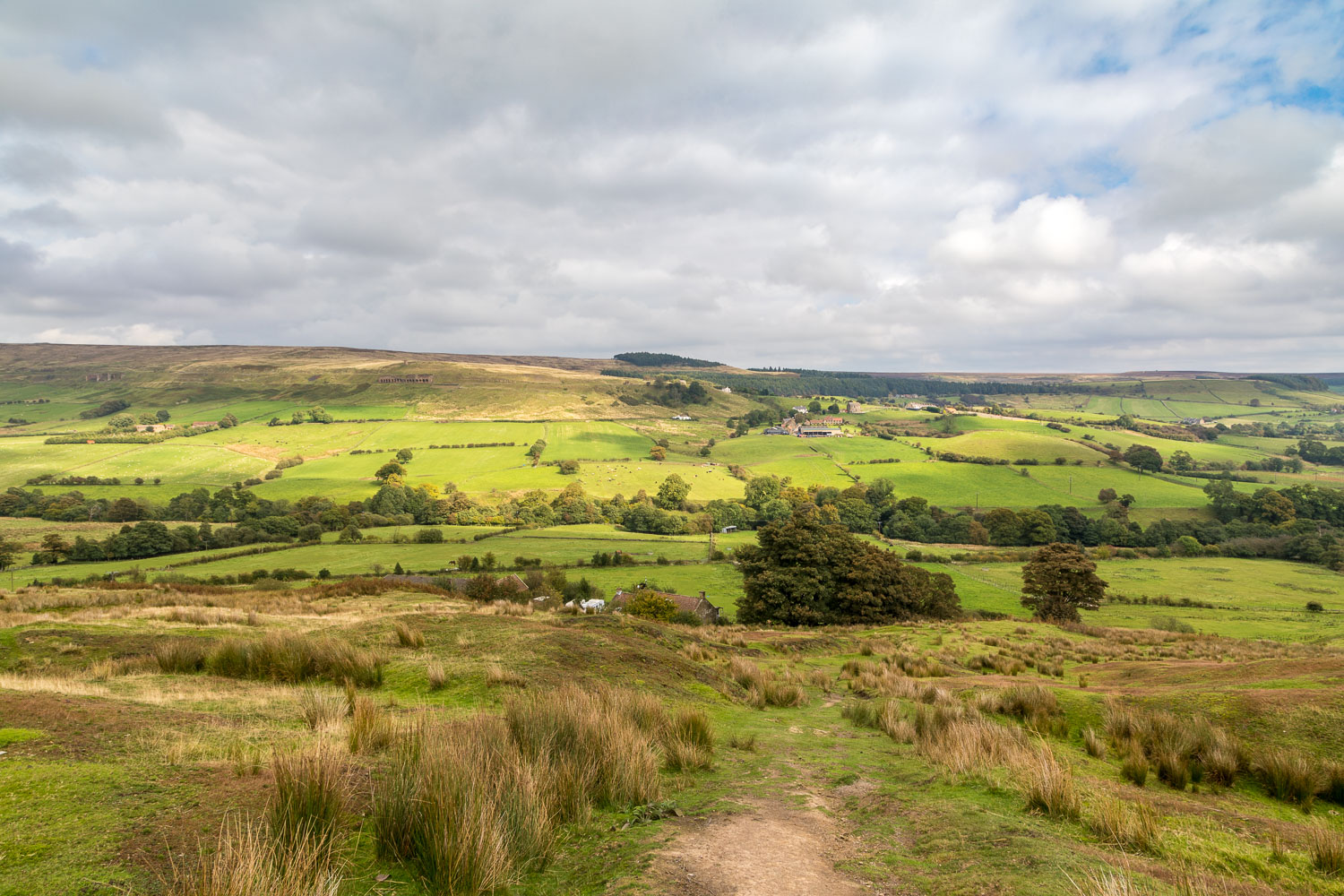
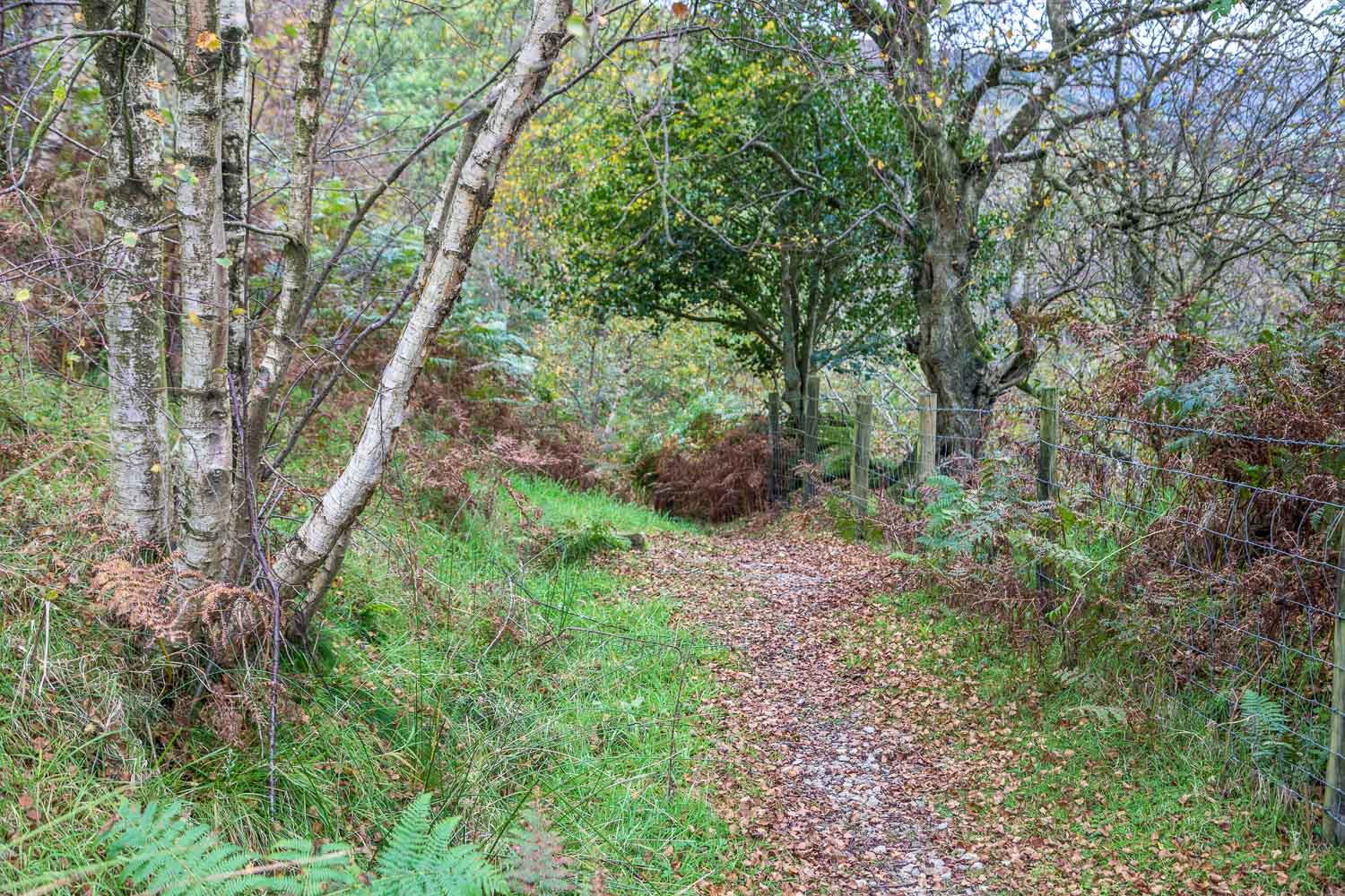
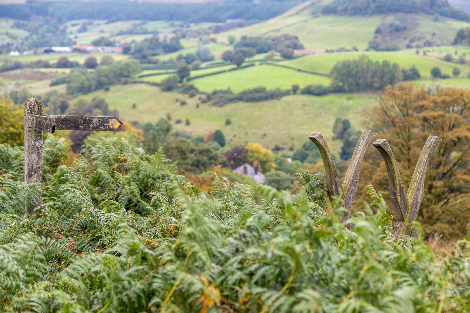
Eventually we reached a point above Rosedale Abbey, just beyond a barrier, where we left the old railway line to follow a narrow path down the hillside (which was quite muddy and slippery at times) back into the village. Despite the average weather it had been an outstanding walk, full of beauty and interest all the way
For other walks here, visit my Find Walks page and enter the name in the ‘Search site’ box
Click on the icon below for the route map (subscribers to OS Maps can view detailed maps of the route, visualise it in aerial 3D, and download the GPX file. Non-subscribers will see a base map)
Scroll down – or click on any photo to enlarge it and you can then view as a slideshow
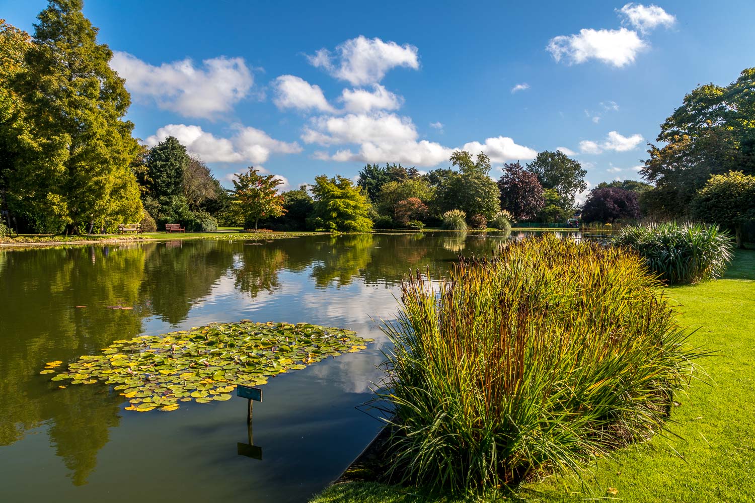
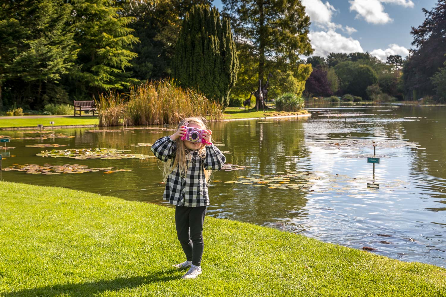
The gardens are home to a National Collection of hardy water lilies, one of the biggest collections in Europe
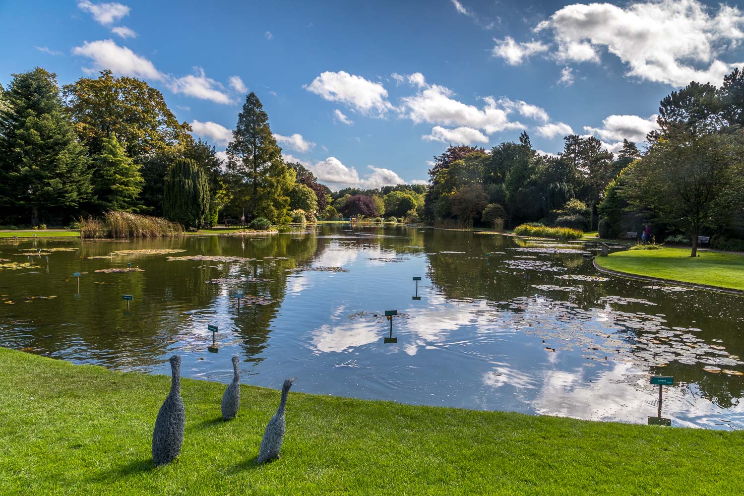
If you're anywhere near Pocklington, I recommend a visit, preferably in June-August when the lilies are at their peak
