
Route: Goodmanham Circular
Area: East Yorkshire
Date of walk: 21st May 2014
Walkers: Andrew
Distance: 8.5 miles
Weather: sunny and warm
I parked in the free car park in Goodmanham village and walked out of the village along a quiet lane. This soon lead to a crossroads where I had a choice of two long distance paths – the Hudson Way and the Yorkshire Wolds Way. I decided to join the former and do the walk clockwise
The easy path took me along the lovely chalk valley of Goodmanham Dale as far as the old railway station, at which point I joined Kiplingcotes Lane. This involved about 1.5 miles of road walking but it wasn’t an issue – the road is so quiet I only saw a couple of cars
At Arras I joined the Yorkshire Wolds Way, and this superbly maintained and waymarked path took me back to the start
For other walks here, visit my Find Walks page and enter the name in the ‘Search site’ box
Click on the icon below for the route map (subscribers to OS Maps can view detailed maps of the route, visualise it in aerial 3D, and download the GPX file. Non-subscribers will see a base map)

Scroll down – or click on any photo to enlarge it and you can then view as a slideshow

The village car park

All Hallows Church Goodmanham

The Wolds Way leading out of the village

The Wolds Way follows a quiet lane for half a mile or so


Hawthorm blossom

Cherry blossom

The Hudson Way, which follows the track bed of the old railway from Market Weighton

Typical rolling Wolds countryside

The end of the line for me as I turn off the Hudson Way at Kiplingcotes Station

Walking back under the Hudson Way to join Kiplingcotes Lane

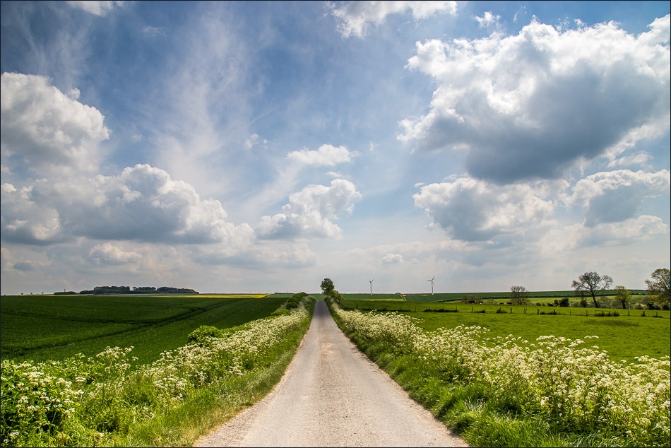
Kiplingcotes Lane


Arras, where I join the Wolds Way again

Heading towards Goodmanham


Nearly back down to the crossroads where I’d joined the Hudson Way earlier

One of the wonderful carved poetry benches which feature along the Wolds Way

A tunnel of hawthorn blossom on the way back to Goodmanham

Back to the start
